(5/18 – 5/25/2026)
This was definitely one of our craziest ideas – to hike Grand Canyon Rim-to-Rim in one day! However, it was impossible to win the Phantom Ranch lottery to secure overnight spots down the canyon. After several failed attempts, we finally accepted friends’ invitation to hike Rim-to-Rim in one day with them. They assured us that it could be done, because they already did it several years ago. (They’re crazier than us – this would be their second Rim-to-Rim hike.)
Friends (there were four of them, a subset of the Kumano Kodo hiking group) would fly to Phoenix, Arizona, and then take a shuttle ride to Grand Canyon. Rei and I were the designated “ground support team” – we would drive from California, carrying equipment and supplies for the group.
Day 1: To Barstow
This was an uneventful day. We simply drove from the Bay Area to reach our hotel in Barstow.
Day 2: Route 66
After breakfast at the hotel, we checked out around 9am to drive to Grand Canyon.
I recently read an article about Route 66, the Mother Road, on a copy of AAA Via Magazine. The article mentioned that this year is the 100th anniversary of Route 66, and many people planned to drive the complete route from Chicago to Santa Monica. The longest continuous remaining Route 66 is in Arizona, from Topock to Williams. This part of the route is on our way from Barstow to Grand Canyon, so we decided to check it out.
About half of the rest areas on the California highway we drove past were closed – not sure whether it had something to do with the state budget deficit or not. So, we drove all the way from Barstow to the Arizona border without stopping. Topock was very close to the border, but after we drove past Colorado River, we had to turn back to get to a small road into Topock.
There’s a Catfish Paradise Day Use area with pit toilets and picnic tables under the shade. It was only 10:30am – too early for lunch. So, we continued Route 66.
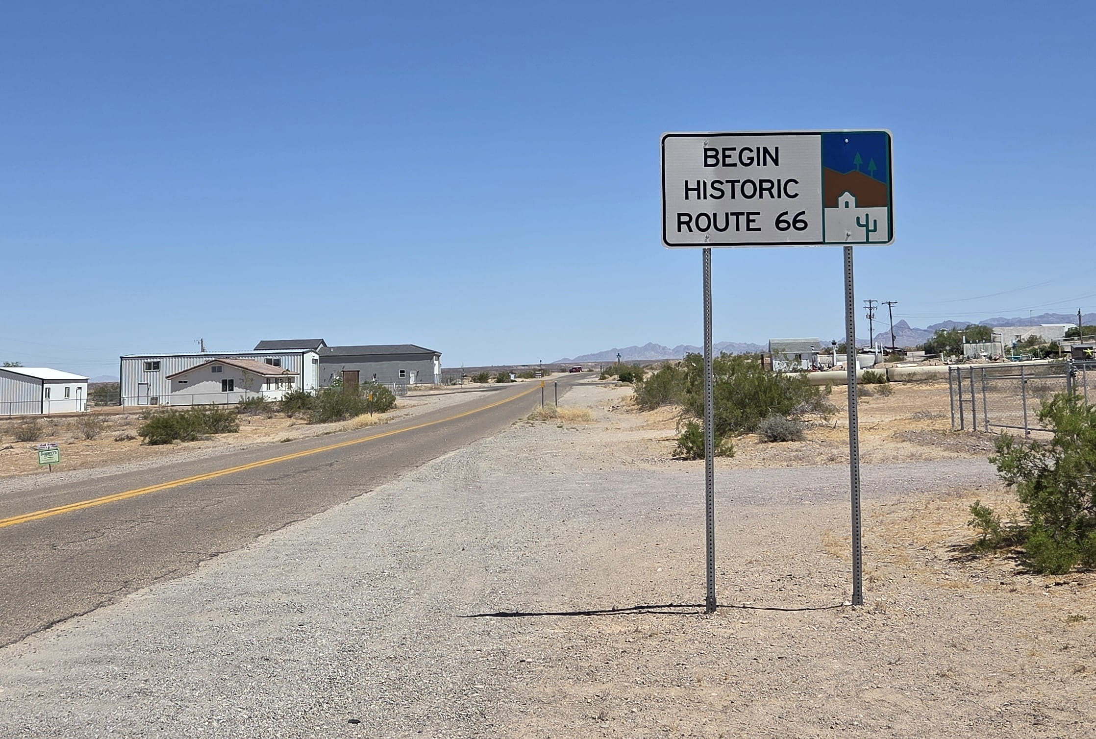
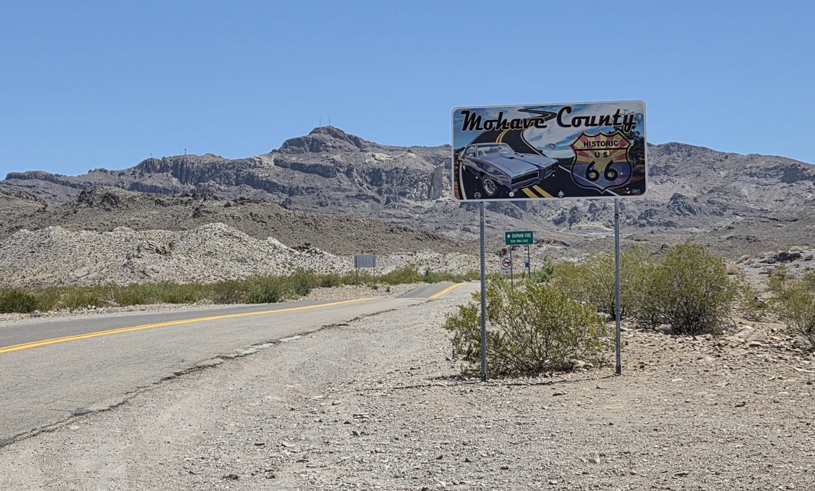
This section of Route 66 was very scenic. We didn’t see many cars on the way, but we did spot several cars/RVs wild camping.
When we were approaching Oatman, we saw four donkeys in the middle of the road. We stopped the car to take photos. A RV coming from the opposite direction also stopped, and the people inside the RV came out to feed the donkeys!
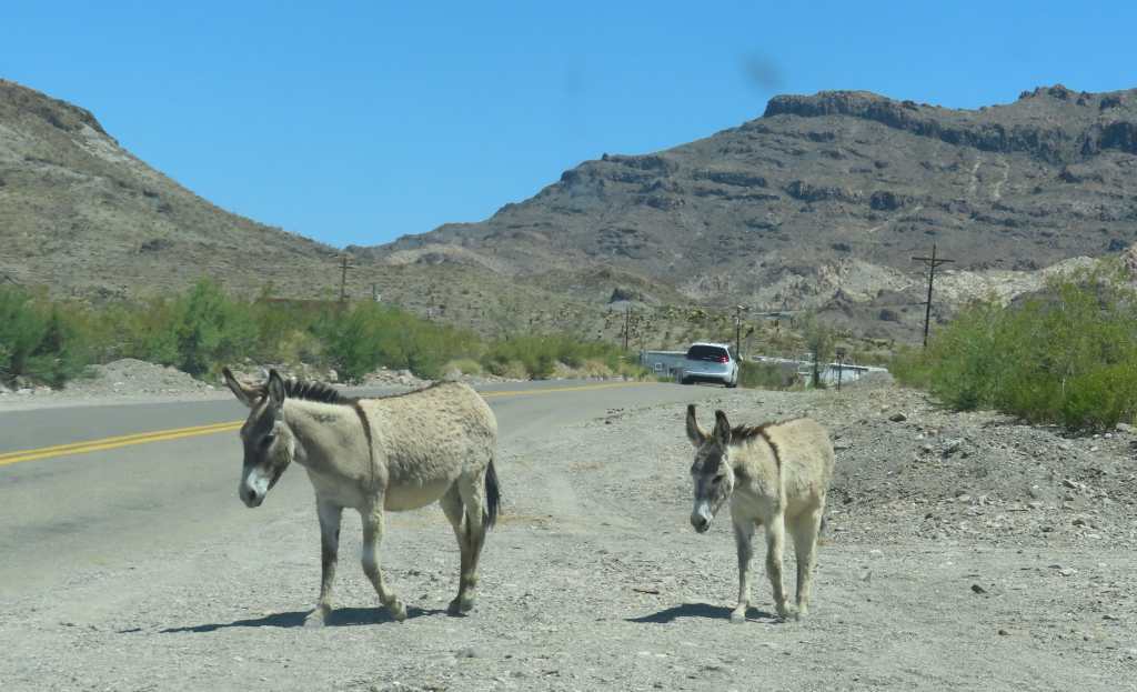
In the late 1800s and early 1900s, gold miners used donkeys as pack animals. After the gold mines closed, the donkeys stayed and multiplied. Nowadays there were many wild donkeys roaming around Oatman, and they became “tourist attractions.” The donkeys would approach cars, expecting to be fed. Some donkeys came sniffing at our car looking for food.
Oatman is a very small town full of souvenir shops and eateries. We stopped the car to look around and browse some merchandise, but we didn’t find anything interesting to buy.
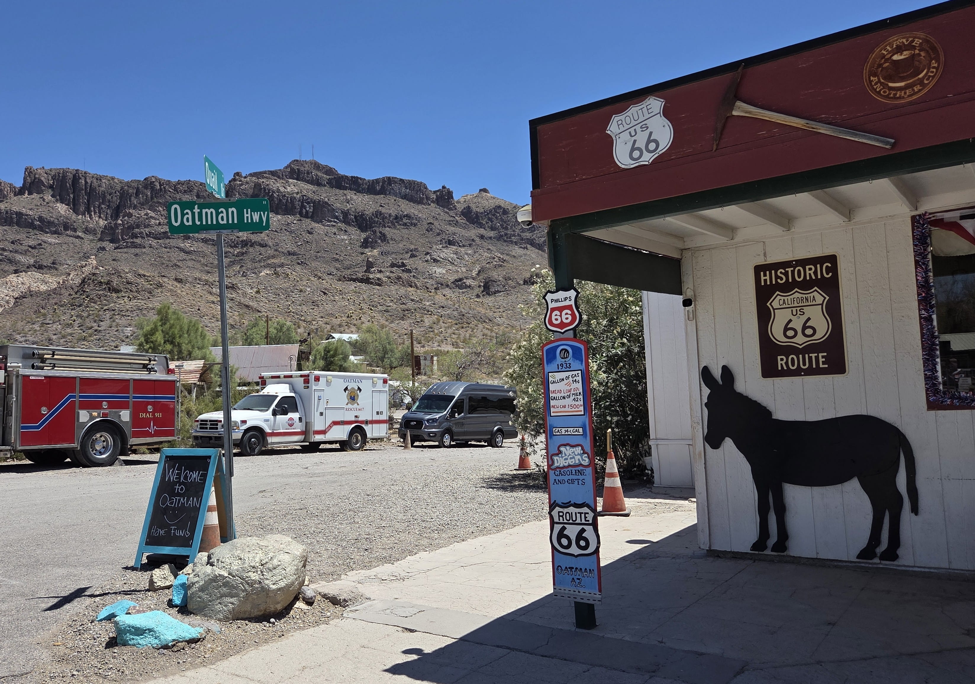
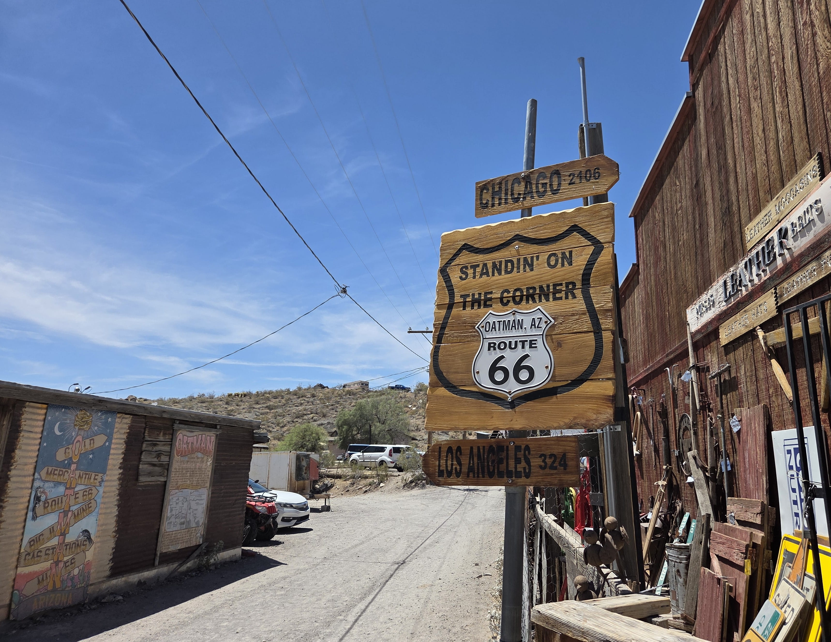
There was also an “outlaws show” on the street at noon. Though it was almost noon, we decided not to stay to watch.
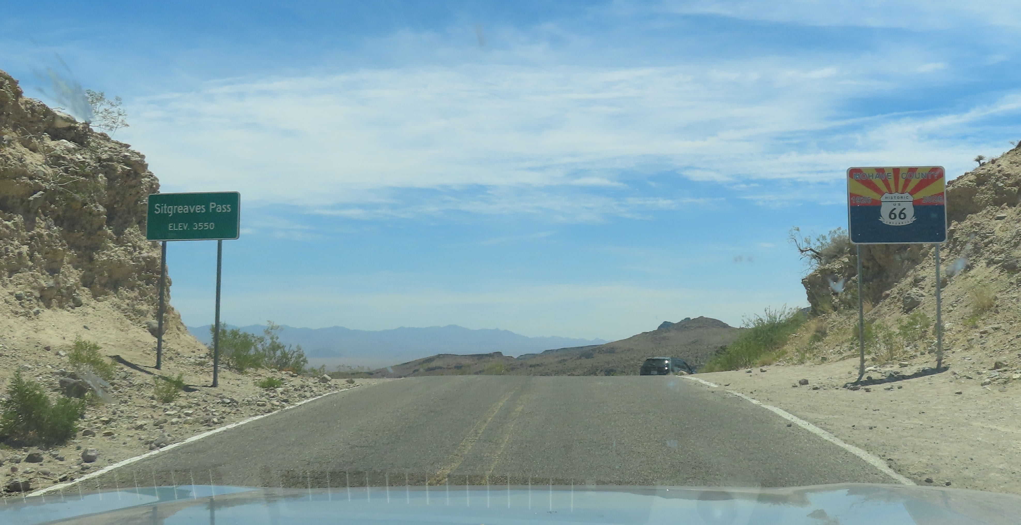
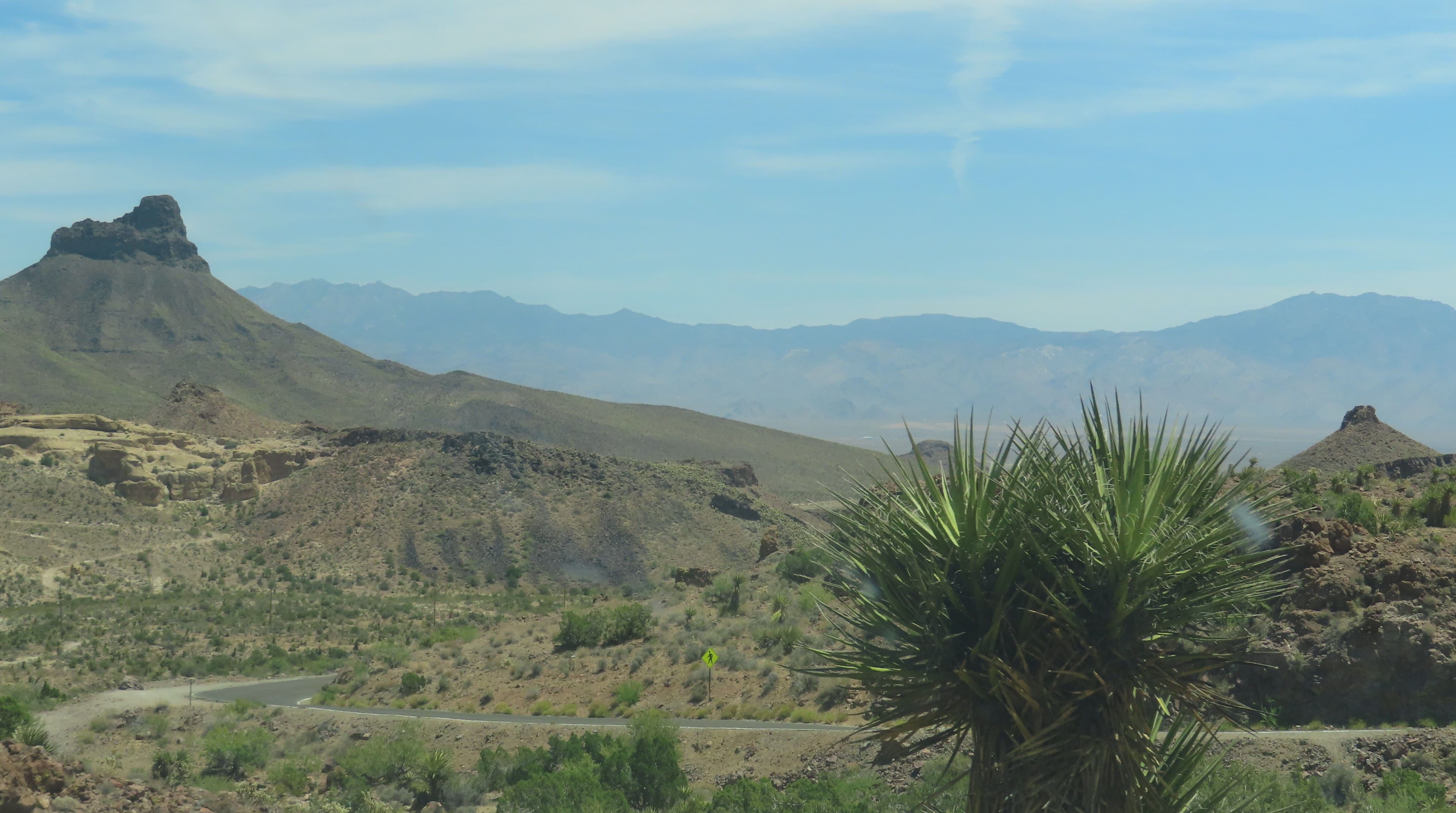
The next section of Route 66 from Oatman to Kingman was even more amazing! The road twisted and turned, revealing gorgeous views from many different angles. Rei had to pay special attention to driving, while I took many photos from the passenger seat. We were so glad that we decided to drive on this route.
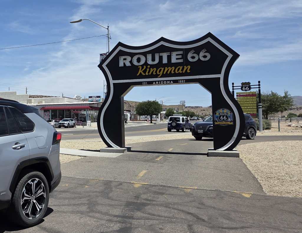
It was close to 1pm when we arrived at the visitor center and museum in Kingman. There’s a “Route 66 Drive-Through Gate” outside the visitor center. It was a one-way drive, and cars had to take turns driving through. I got down from the car to take photos of Rei driving through the gate, and he waved at me excitedly.
The visitor center had a gift shop (of course!) and free public restrooms. There were also free maps and information pamphlets for visitors. The Route 66 Museum required a $10 per person entrance ticket, so we decided not to enter. We found out that they had Route 66 100th anniversary baseball caps in the gift shop, and I got one for Rei as a gift.
Outside the visitor center there was a covered area with picnic tables, where Rei and I ate our salad lunch. We saw a never-ending array of cars and motorcycles driving through Route 66 Gate. Many drivers even left their vehicles to take photos, with some groups taking multiple photos.
After lunch, we continued the drive from Kingman to Williams. This section of Route 66 wasn’t as interesting. There were some historical towns on the way, but they all looked deserted. This portion of the route also wasn’t as scenic.
If you plan to drive Route 66, I will recommend the section between Topock and Kingman. It’s certainly more colorful (both factually and figuratively) than the section between Kingman and Williams.
Rei and I were tasked with purchasing groceries for the group, so we stopped by the Safeway supermarket in Williams to stock up before driving to Grand Canyon.

We finally arrived at Maswik Lodge shortly before 6pm. Friends also just arrived, and they stayed in a nearby building. They came to our room to fetch their supplies. Then Rei and I went to the cafeteria to have dinner. The cafeteria had “regular” national park food items.
Day 3: North Rim
We booked a shuttle ride from Trans Canyon Shuttle that would take us from south rim to north rim. Our shuttle ride was around noon, so we would have time to do some sightseeing in the morning.
Rei and I drove to the Grand Canyon Visitor Center to get national park passport stamps. Google showed that the visitor center opened at 9am. However, when we arrived there at 8:50am, it was already open. (It turned out that the visitor center opened at 8am.) There were already many people inside the visitor center.
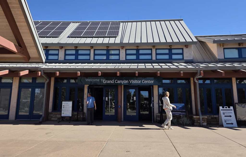
The visitor center was located near the rim, so after getting stamps, we walked to the rim. The South Rim was at about 7,000 ft, and I did feel the effect of high altitude, but Rei said he’s fine. It’s late May now. Some schools have already ended, and we saw many families there. Even though it was still early in the morning, there were already a lot of visitors.
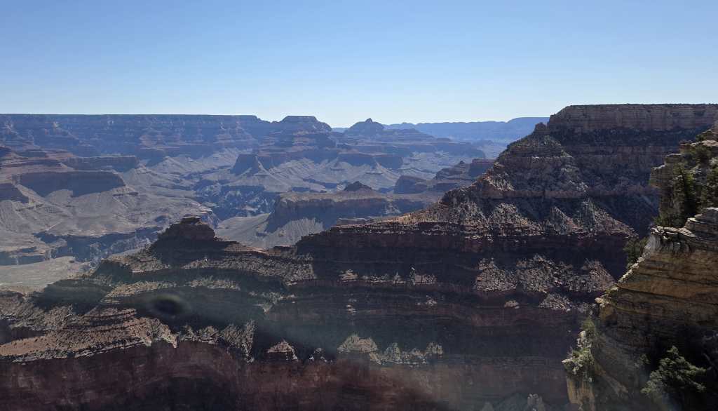
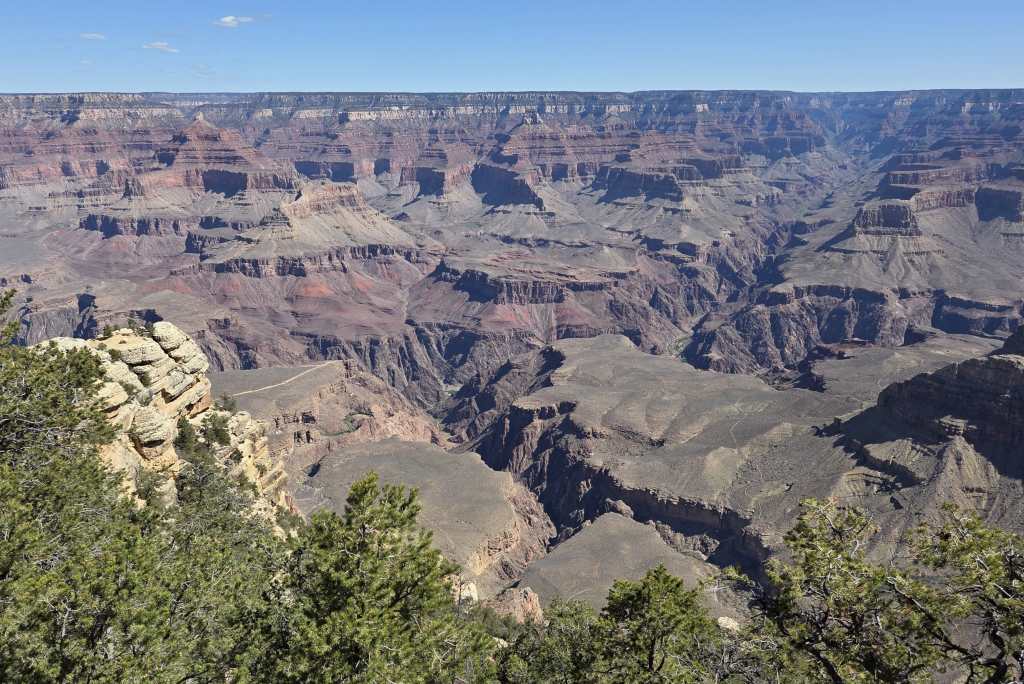
Even though we have been to Grand Canyon several times previously, the great canyon views didn’t stop amazing us. We took many photos. Due to time constraints, we only spent around 45 minutes sightseeing before returning to the hotel. The check-out time was 11am, and then we needed to walk to the Bright Angel Lodge for the shuttle bus ride.
There were two Trans Canyon Shuttle white vans waiting in front of the Bright Angel Lodge when we arrived there. Everybody who took the shuttle was a Rim-to-Rim hiker. The other passengers in our van already did their north to south Rim-to-Rim hike and were on their return trip to the North Rim.
The van first drove east inside the national park and then exited the park to drive on Hwy 89. Hwy 89 was bumpy. After less than 2 hours of drive, the driver stopped at a gas station to fuel. We all got down to using the restrooms and doing some grocery shopping in the food mart. I got a pack of blueberry muffins to share with Rei.
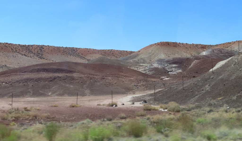
I sat on the left side of the van. The view on the left side was some low hills of various colors. The view on the right-hand side was a lot more beautiful. There were tall rocky mountains with red, orange, yellow and green hues. We will drive on the same route to Page the day after tomorrow, and I will have a chance to take photos of the spectacular rock formations.
We also drove past Marble Canyon. I saw a tall bridge (later I learned that it’s Navajo Bridge) with many walkers taking photos. It looked very interesting. We took notes to visit the place later too.
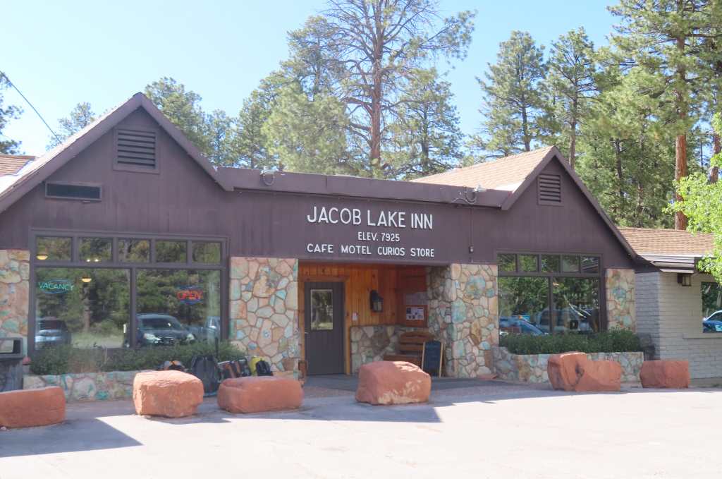
We arrived at Jacob Lake Inn around 5pm. Some passengers disembarked here. The lodge had a small bakery selling very tempting freshly baked cookies. We all bought some cookies, and they tasted very delicious.
The van finally arrived at Kaibab Lodge after 5:40pm. Rei and I booked a small cabin with 2 beds and a bath. The room also had a table with 2 chairs and a coffee machine, but there’s nothing else. The lodge offered buffet dinner for $29.95 per person; it didn’t look interesting. Moreover, we still had food that we needed to finish before tomorrow’s hike, so Rei and I just ate in.
We were in the middle of nowhere without a car, so we simply stayed inside the cabin. There was no shampoo or hair dryer in the cabin, so I had to skip washing my hair tonight and only took a shower. Fortunately, the water was very hot.
Day 4: Rim-to-Rim
Today was the big day – we’re doing Rim-to-Rim hike!
The Trans Canyon Shuttle picked us up at Kaibab Lodge at 4:44am to take us to the North Kaibab Trailhead. It was a half-an-hour ride on a desolate terrain. Some people saw a bison on the way, but I didn’t see it.
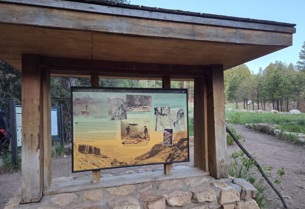
After taking pictures at the trailhead sign, we started the hike around 5:30am. There was already light, so we didn’t need to use our headlights.
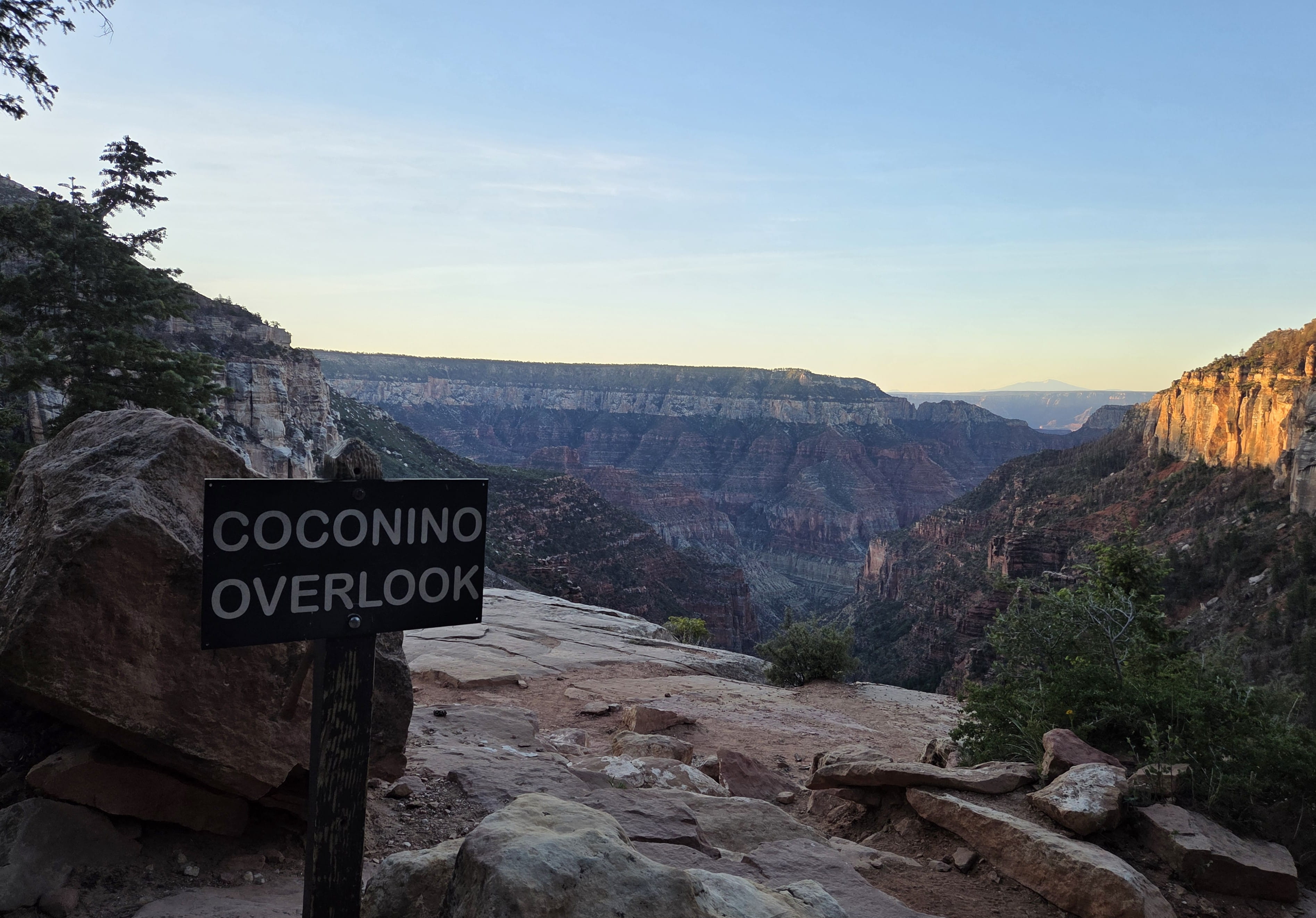
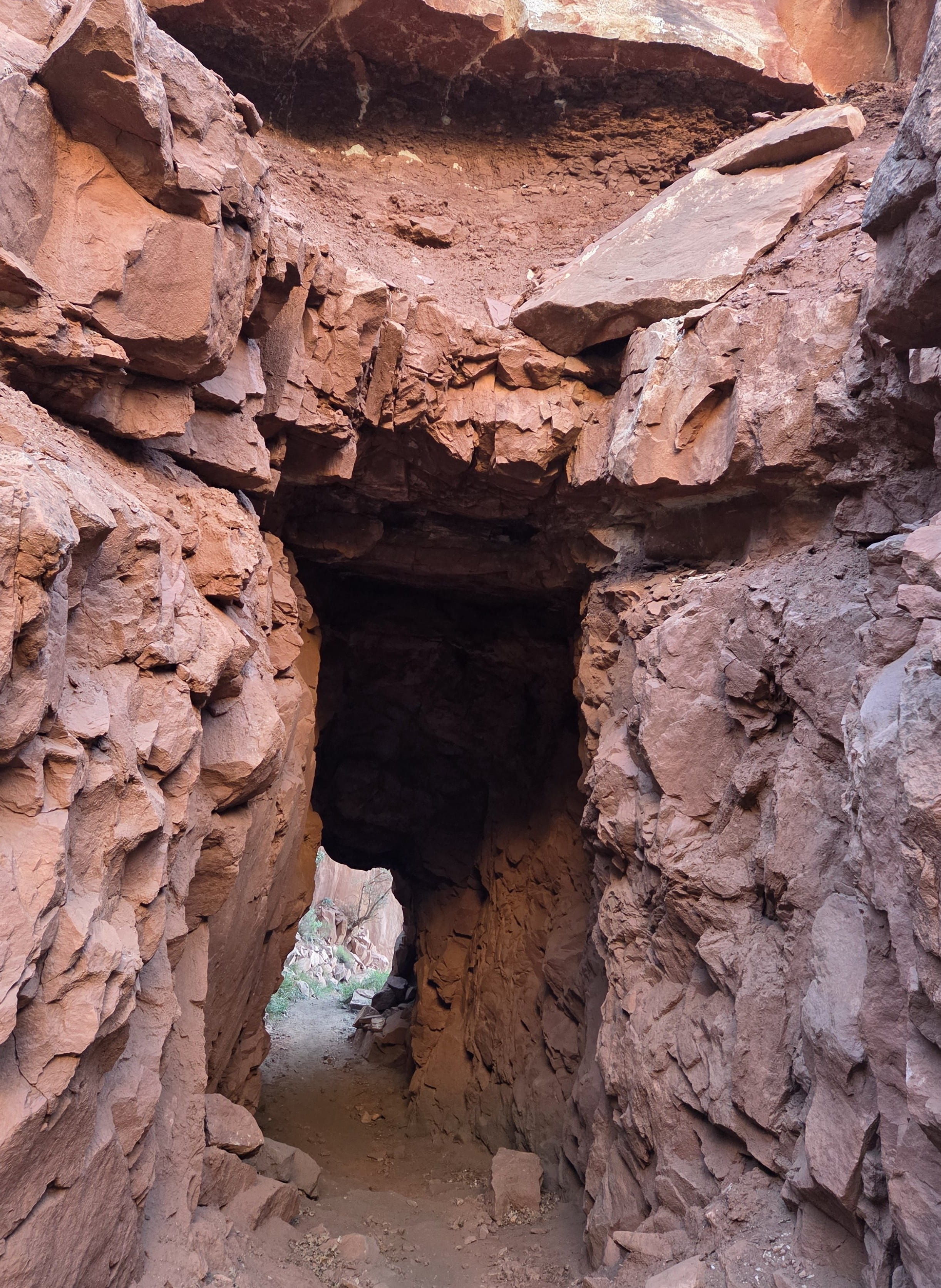
North Kaibab Trail went downhill to the Colorado River. The first section was an easy hike on a dirt and rock trail. Because we were cold, we walked very fast. We reached Coconino Overlook in about 15 minutes. The canyon view here was fabulous. After taking several photos, we continued to walk past Supai Tunnel.
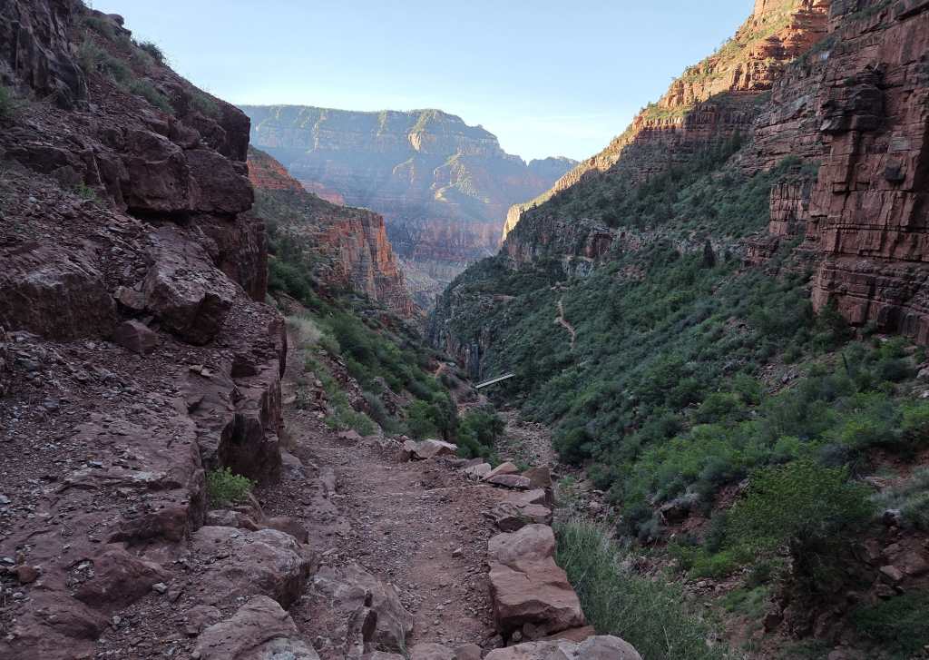
We started the hike in the shade, but we started to get some sunlight around 7:20am. After another 30 minutes of walking, we saw a beautiful waterfall from the trail. After that, it was a very long hike until we finally arrived at Manzanita Rest Area at 8:20am.
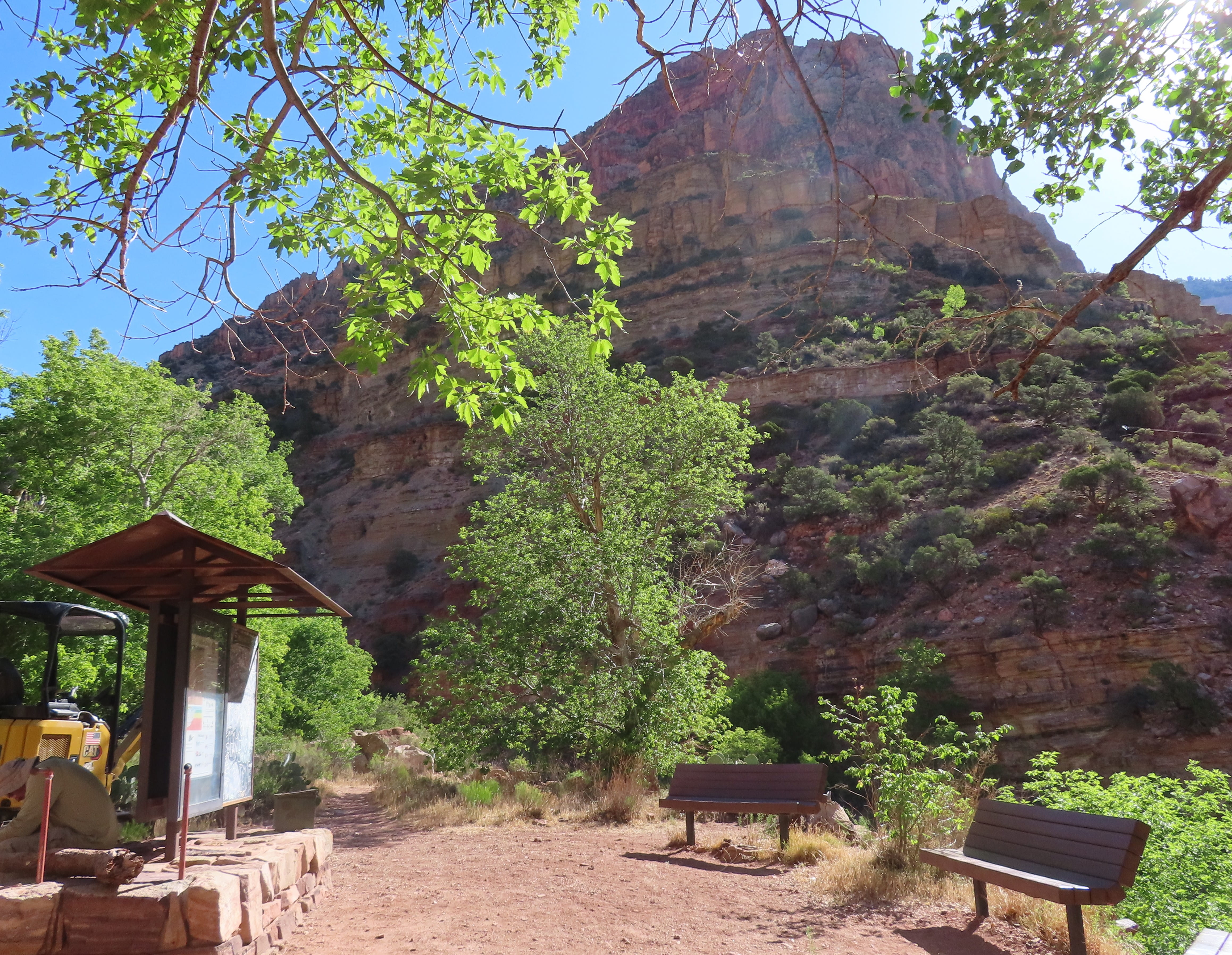
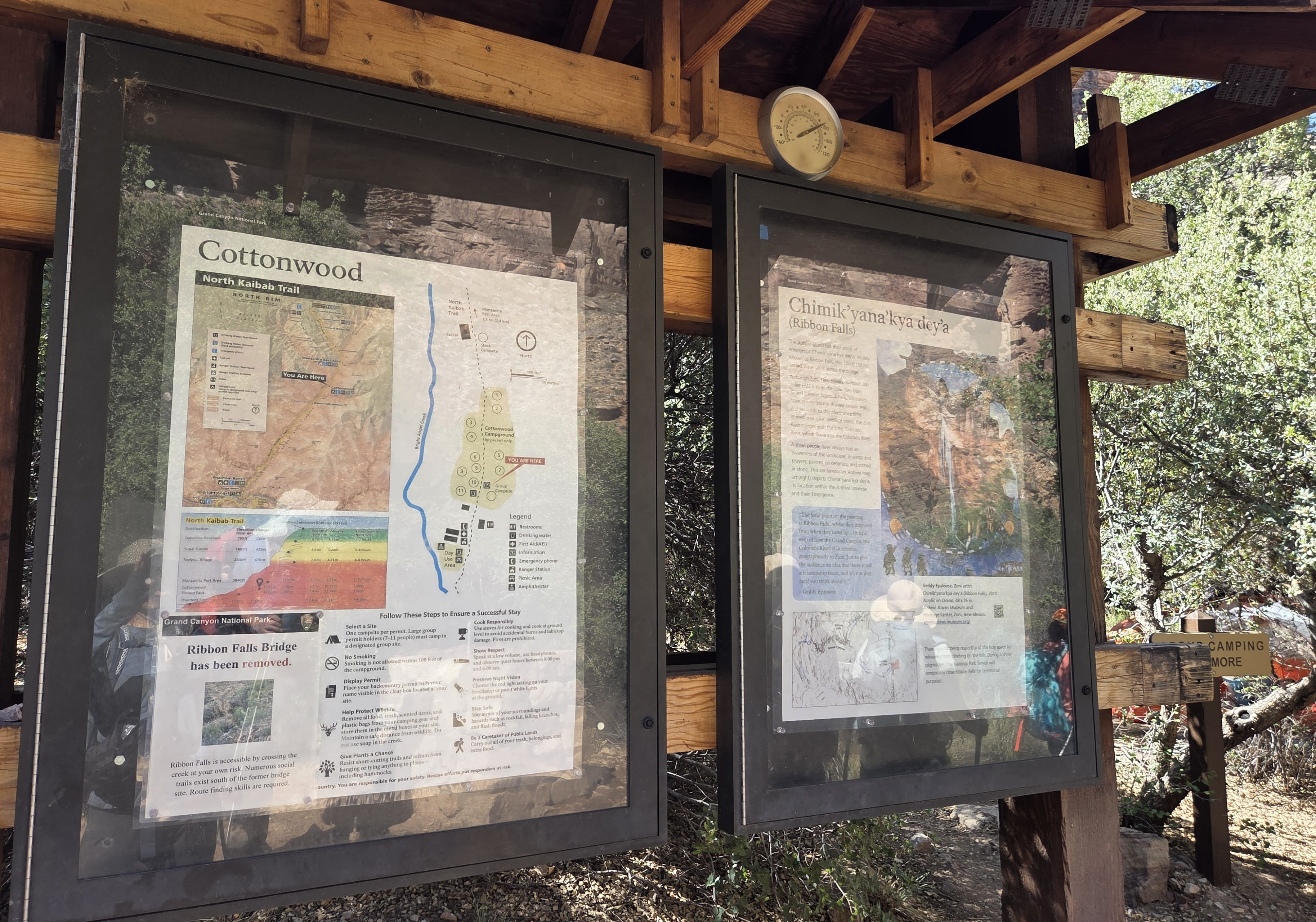
The rest area had toilets, benches and picnic tables. A small creek flew by, which would provide welcome relief in the heat. We rested and ate our packed meal here before continuing the hike to reach Cottonwood Campground around 9:15am. This was a popular campground, and we saw some tents there.
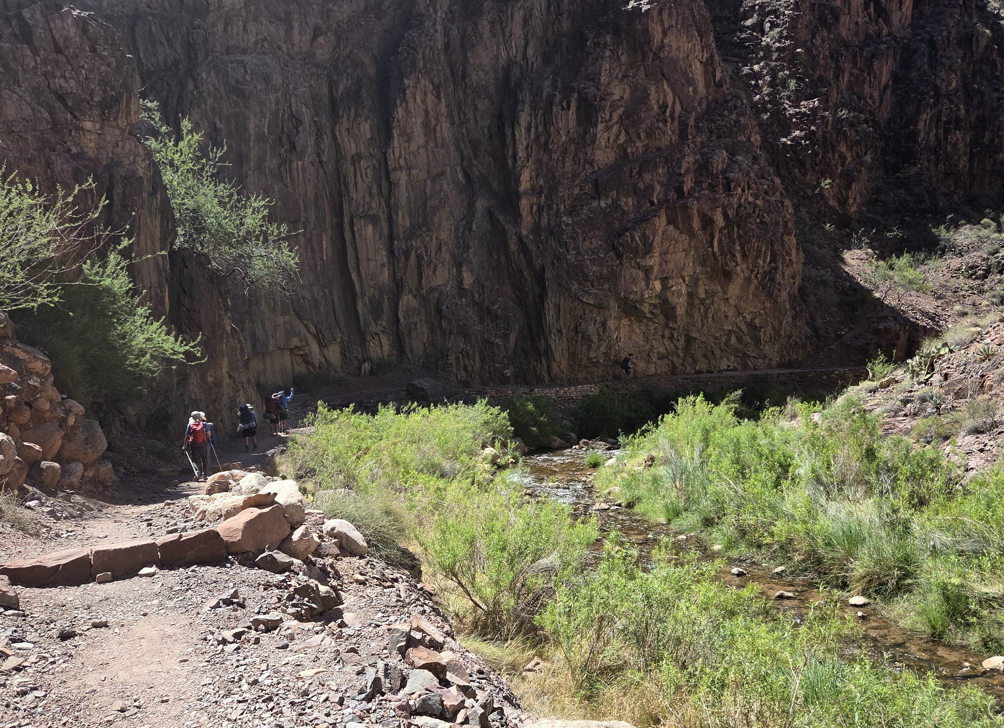
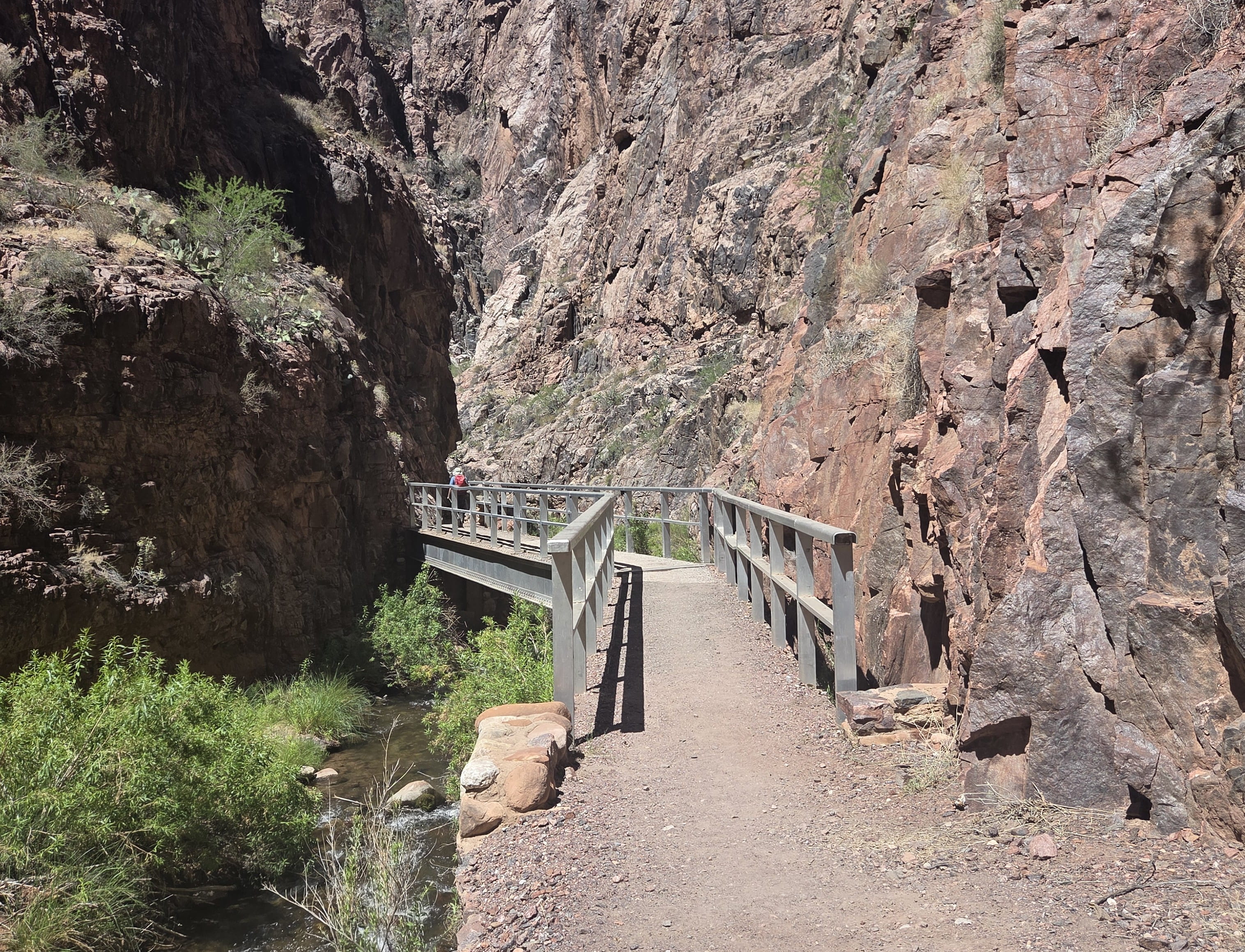
There was a sidetrack leading to Ribbon Falls, but we decided to skip. Now we were mostly walking on open trails, and the weather got warmer. Fortunately, there was a light breeze. Some paths were along Bright Angel Creek and provided splendid views. I saw some small waterfalls/cascades, too. We also needed to walk across several small bridges.
(Later, I learned that this area, called “The Box,” though looked peaceful, is an extremely dangerous place. The summer heat can reach 120 degrees. A deadly flood in late August 2026 washed the foot bridges over Bridge Angel Creek away. Many hikers were evacuated by helicopters. Unlucky ones either perished or were missing.)
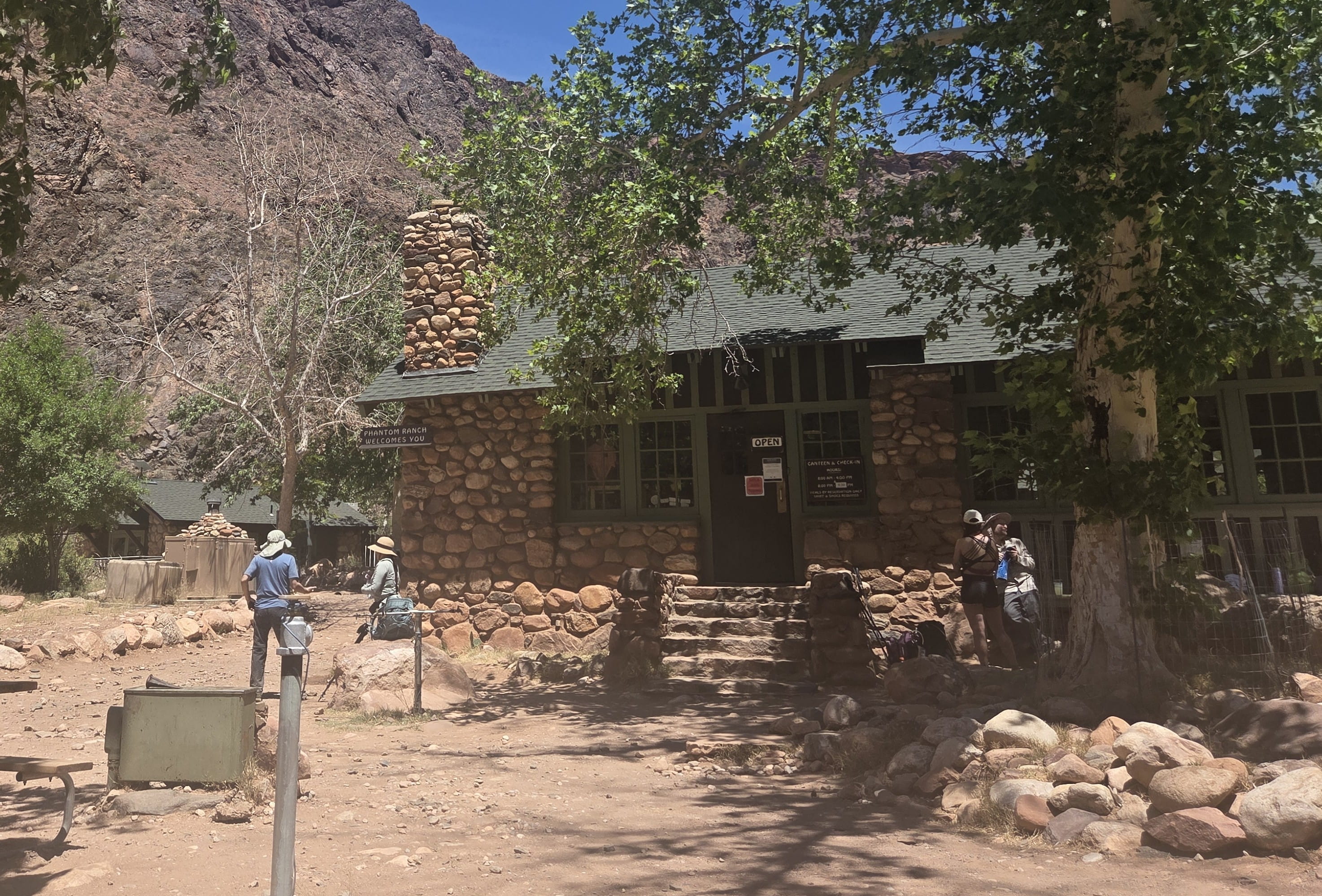
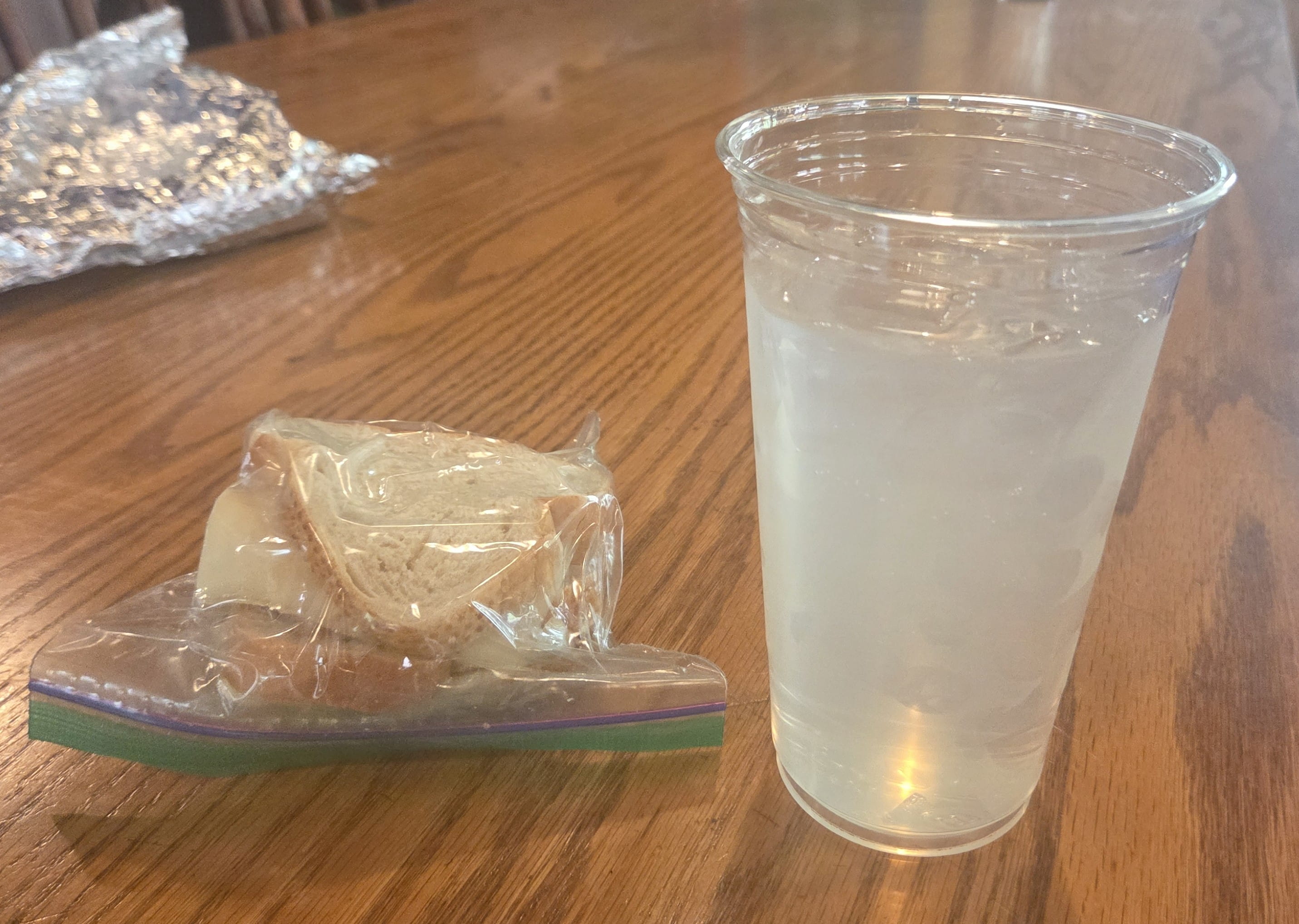
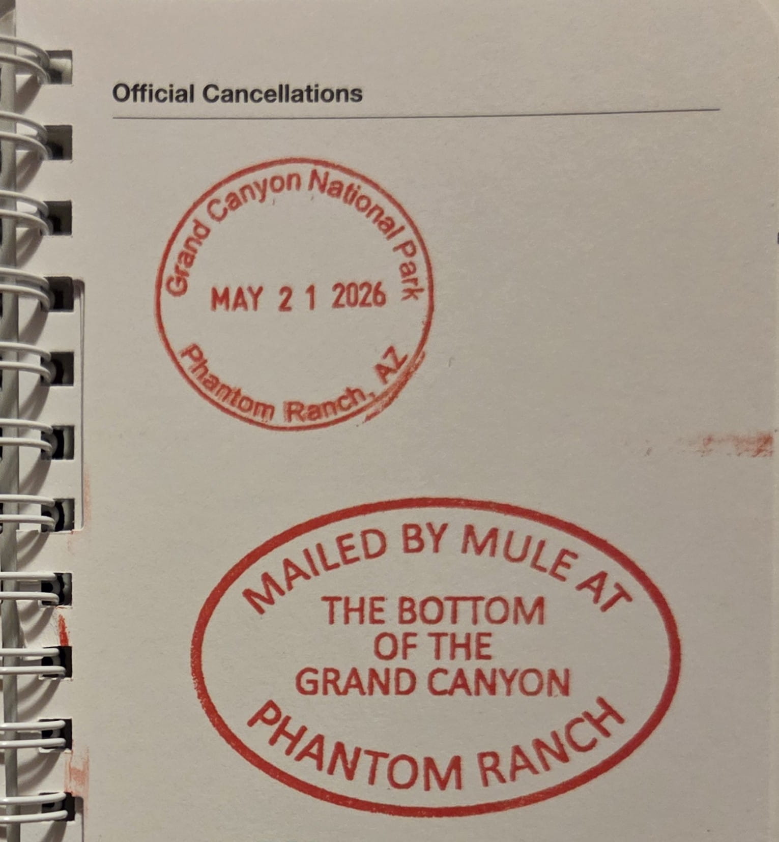
This was a very long and exhausting hike. When we finally reached Phantom Ranch, it was already noon! We bought the famous iced lemonade at the Phantom Ranch canteen and ate our own packed lunch there. There was a national park stamping station inside the canteen, and people could also send “Mailed by Mule” from there.
After the much-needed lunch break, we started hiking around 1pm. Because the Silver Bridge and the River Trail were closed at the time, we had to return to the South Rim by walking on the South Kaibab Trail, which was a more exposed trail than the preferred Bright Angel Trail. Friends stopped by the ranger station, and the ranger advised against hiking up South Kaibab in the heat. They were told by the ranger to wait until 4pm to restart, and the ranger gave them a number to call taxi after reaching South Rim. However, it meant that we would hike into the night. Though we all carried headlights, it’s not ideal to hike in the dark. The thermometer at Phantom Ranch showed that current temperature was in the low 90s, and there’s a light breeze, so we decided to ignore the ranger’s advice and continued to climb up South Kaibab.
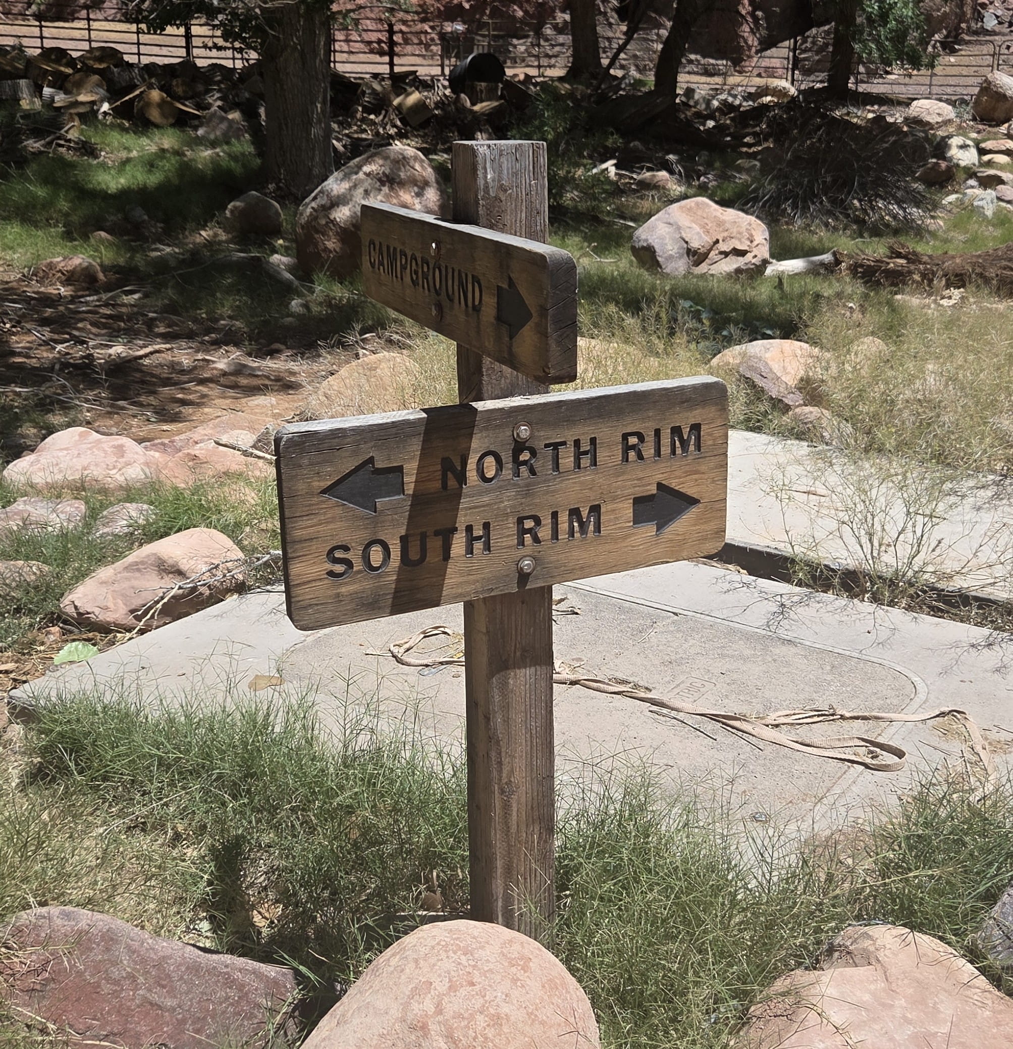
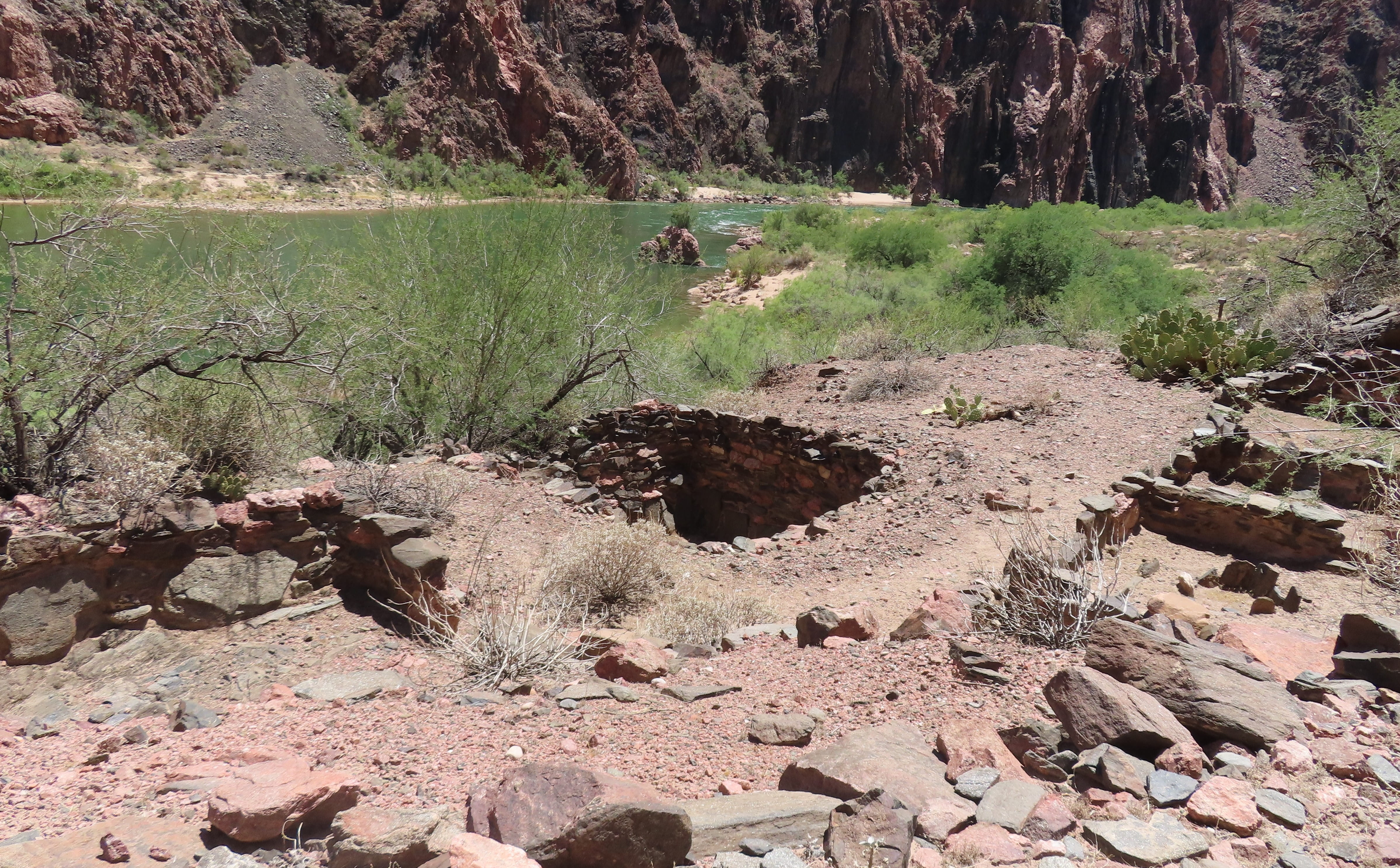
We passed a sign showing the directions of North Rim vs. South Rim. This was the Bright Angel campsite, and there were many people cooling themselves by the river. Further ahead, there’s a Pueblo Archaeological Site with some ruins.
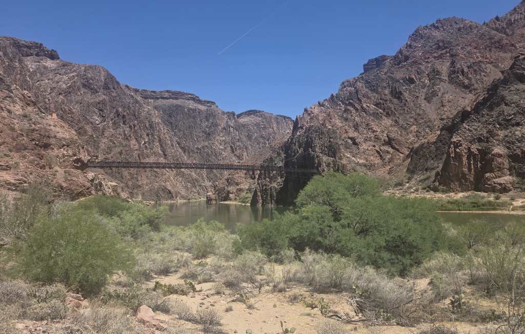
We walked across the Black Bridge over Colorado River. The river was green and looked cool. I saw some photos of the canyon bottom, and the color of the river was brown, so I thought Colorado River was very muddy. This turned out not to be the case.
Several hikers were walking down South Kaibab towards us. Rei asked them about the hike, and they all answered it’s hot.
After we climbed up a while, I started to feel unwell. We found a shady spot to sit down and to get hydrated. I started to wonder whether it’s wise to climb up now. However, we were fine after a short rest, so we continued the hike.
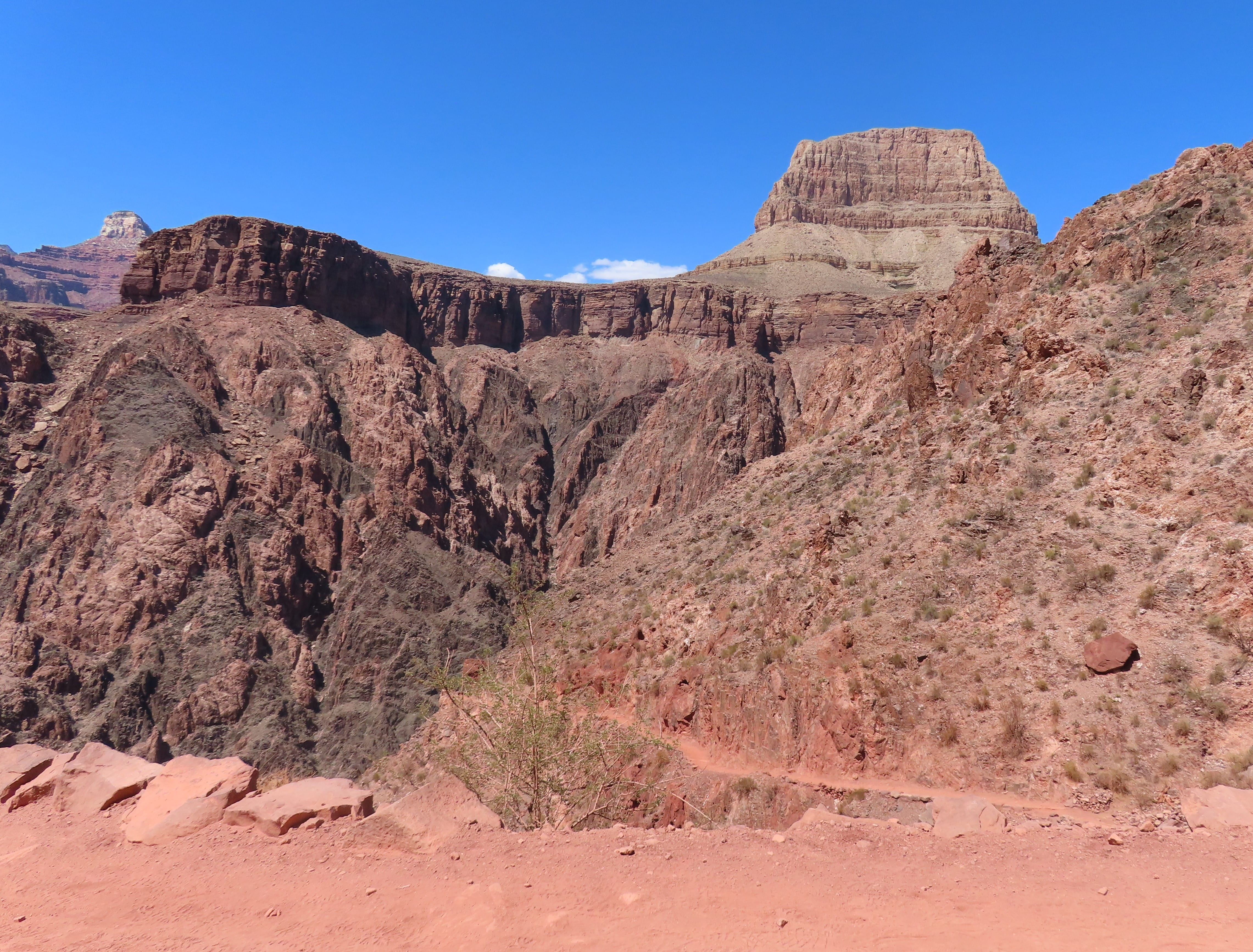
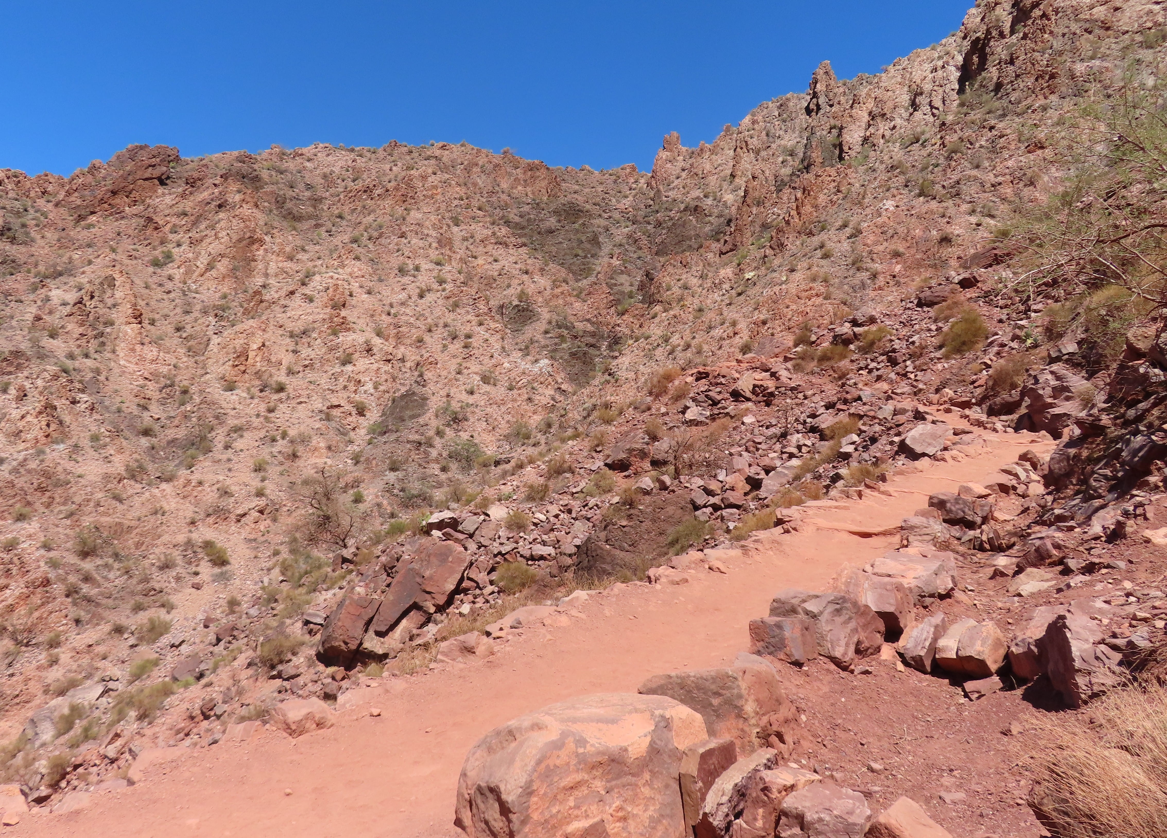
To make the situation even worse, I started to have leg clamps. I took a Tylenol. A fellow hiker, who’s a nurse, gave me a few pills for the clamps, so I was better for a while.
We continued to find shady spots to rest between the hikes. It was a long and painful climb. We finally reached Tipoff rest area after almost 3 hours of hiking. There were a covered structure and toilets. A couple were already there resting. They told us that they overnighted at Phantom Ranch campground and were also on their way up to the South Rim.
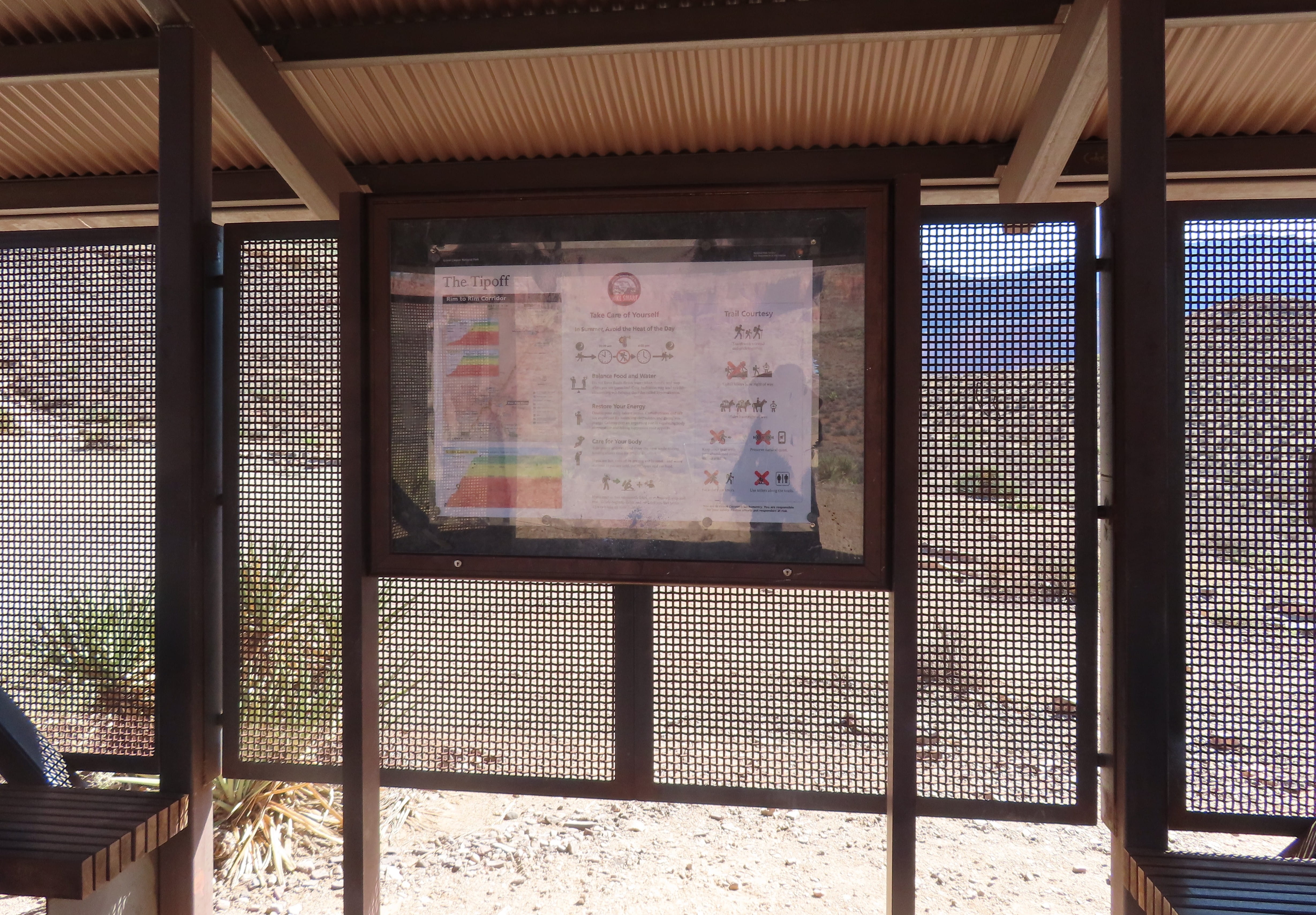
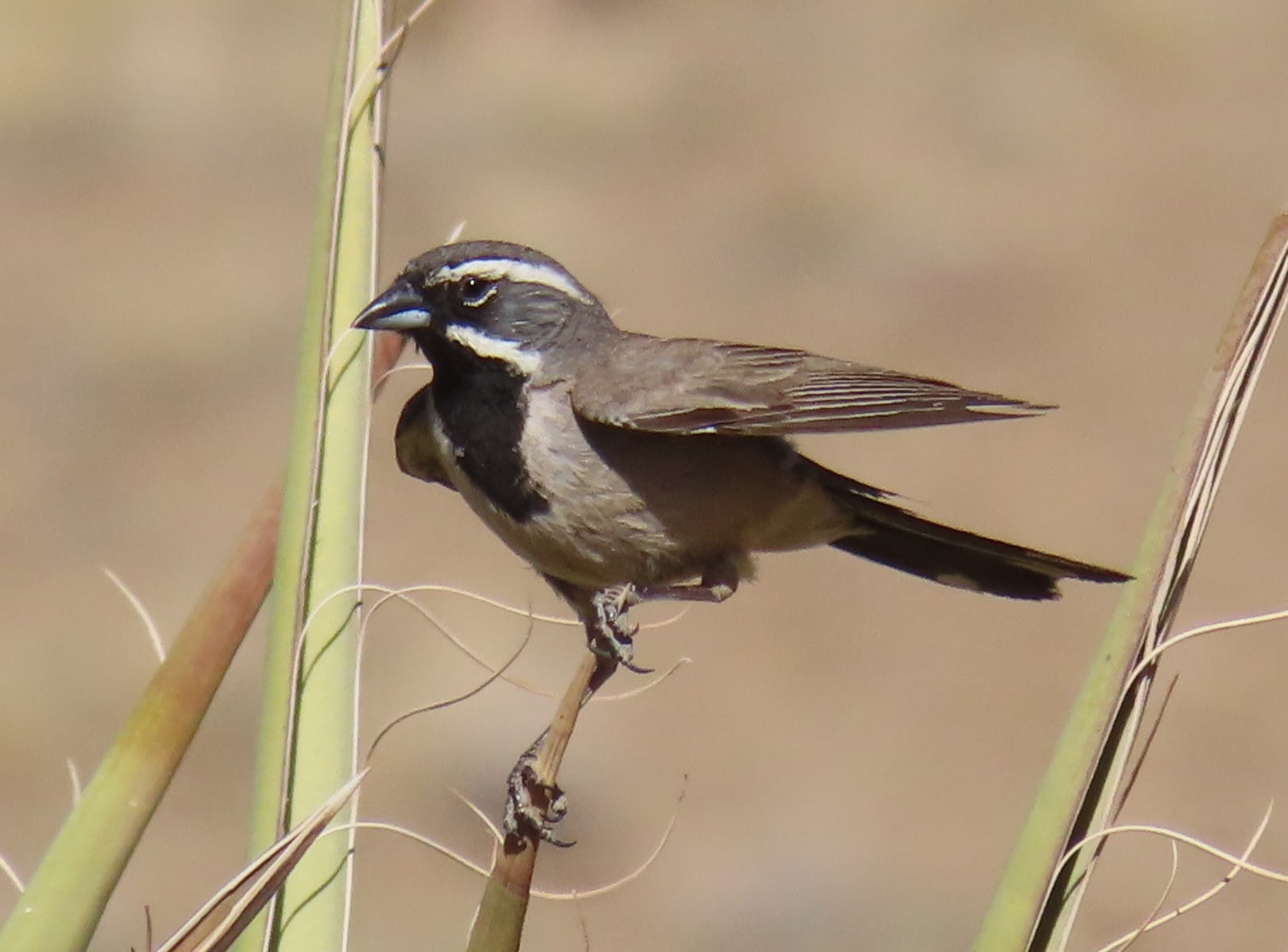
We stopped at Tipoff for a while to rest and to hydrate. I saw a few Black-Throated Sparrows frolicking in the area. They looked beautiful!
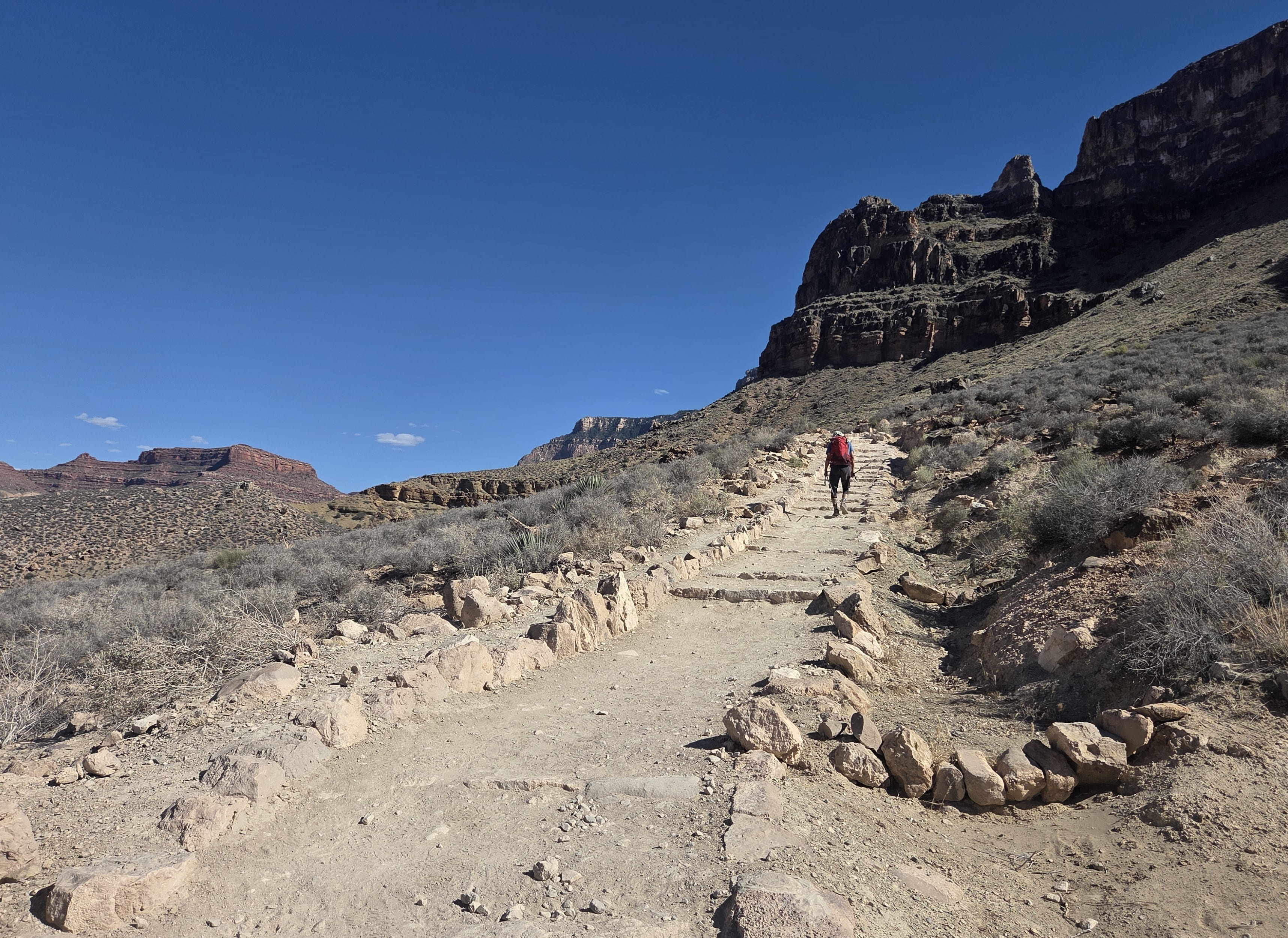
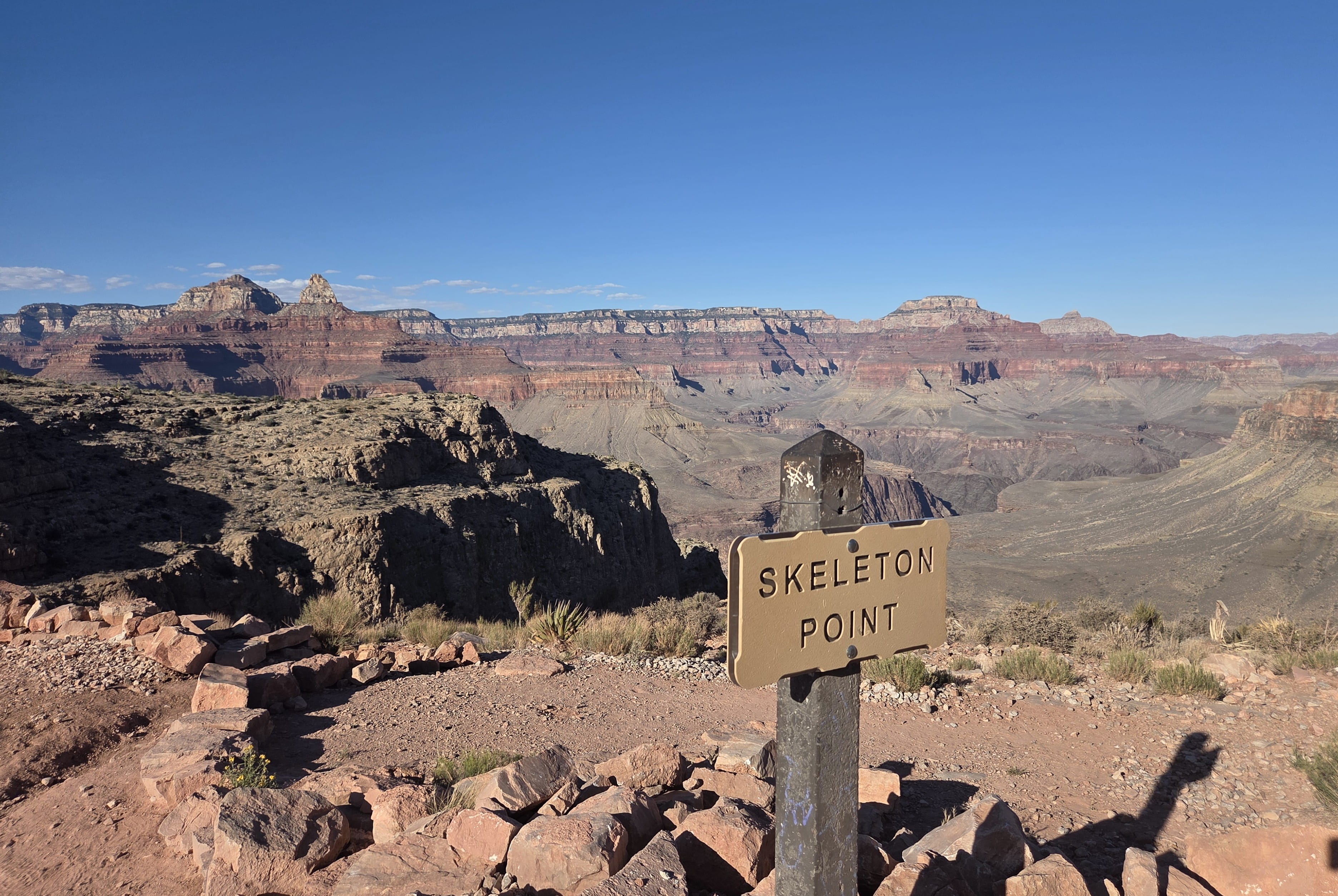
Fortunately, the temperature was cooler now, and there was more shade on the trail, which made the climb a little easier. Skeleton Point was 1.5 miles away, and it took us 1.5 hours to reach there.
We were now 3 miles away from the South Rim. My leg cramps returned, so we needed to take many breaks. When we finally reached Cedar Ridge, it’s already 6:40pm, and we still had 1.5 miles to hike.
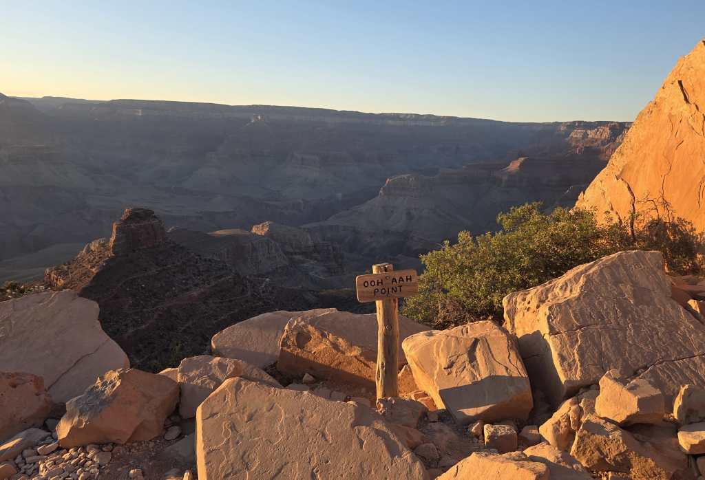
The last stop before the South Rim was Ooh-Aah-Point, which was 0.9 miles down the rim. We saw some people sitting there waiting for the sunset, which was around 7:30pm. We didn’t stop.
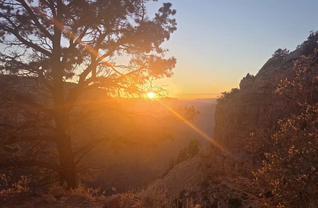
There were many switchbacks to the rim top. When I finally dragged myself up, it was already about 8pm. Rei came down to meet me and to carry my backpack. Originally, we were told at Maswik Lodge that the last shuttle from the South Kaibab Trailhead was 30 minutes after sunset, which would be around 8pm. However, a bus driver told Rei that the last bus was at 8:39pm. I was the last in the group to complete the hike. They all cheered for me when I made it.
We needed to transfer to the Blue Route Shuttle to reach our lodge. The humorous bus driver lowed the bus for us to get down because she considered that we were all “disabled” after the long hike. It was around 9pm when we finally checked in. Friends bought some to-go food from the hotel cafeteria before its 9:30pm closing time. Rei didn’t want any food, so we just went to our hotel room.
Rei immediately took a hot water shower and went to bed. I was famished and very thirsty. So, I made tea and ate whatever food we had in the room before taking a shower.
This was a mad day. Friends all agreed that there would be no more crazy hikes for us!
Day 5: To Page
After yesterday’s exhausting Rim-to-Rim hike, we would take it easy today. Rei and I went to Maswik Lodge cafeteria to have breakfast. He ordered a bacon scramble, and I ordered a veggie scramble. The food was expensive, but the portion was huge. We saved half of the meal for today’s lunch.
Friends were flying home today, but Rei and I would drive to Page to continue our sightseeing. Rei wanted to get more national park stamps, so we first drove to Yavapai Geology Museum after checking out.
Rei went to the Maswik Lodge gift shop after checking out. He found out that they had “Grand Canyon Rim To Rim” baseball cap and happily purchased one. (Yes, he’s collecting baseball caps.)
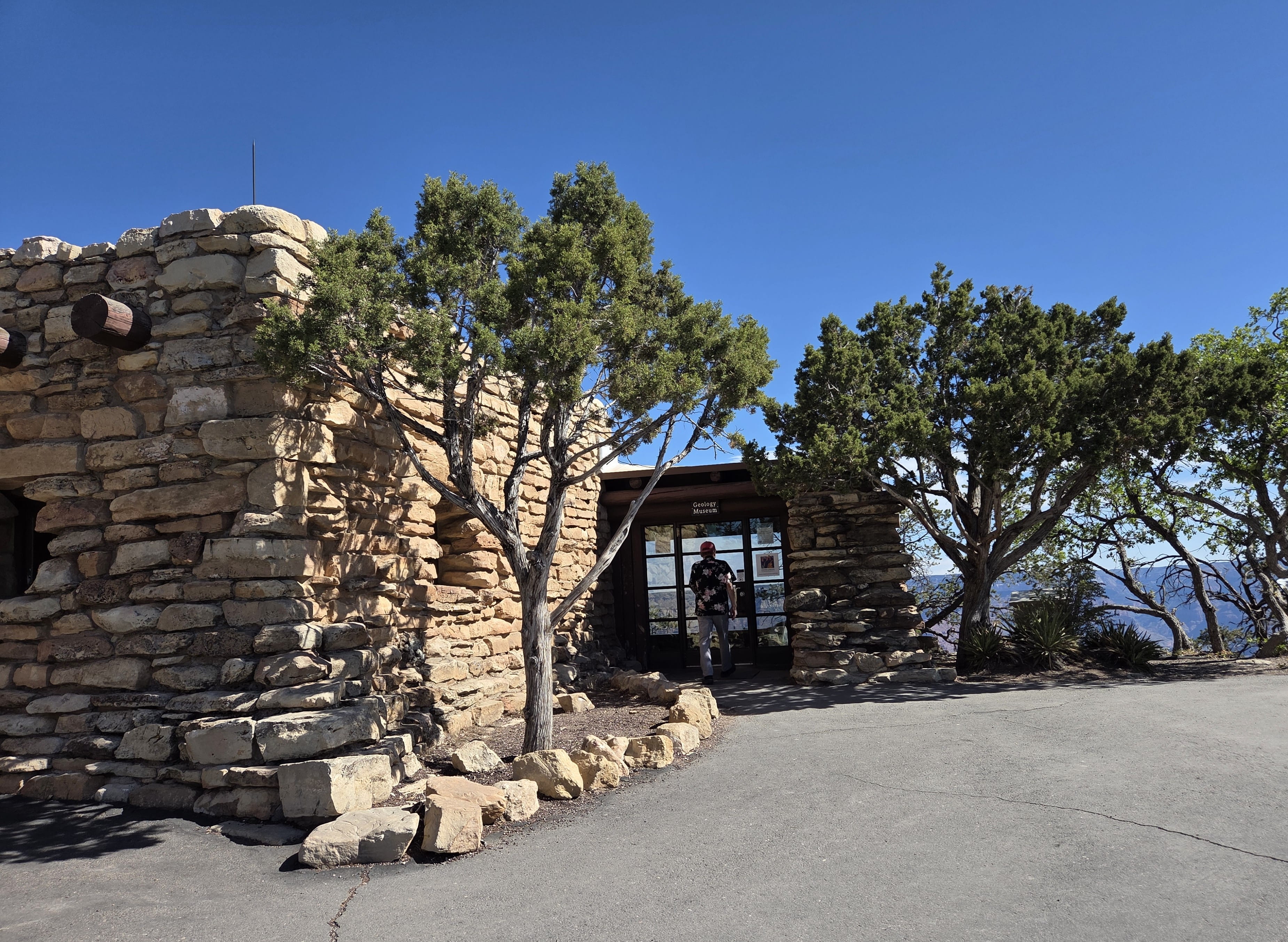
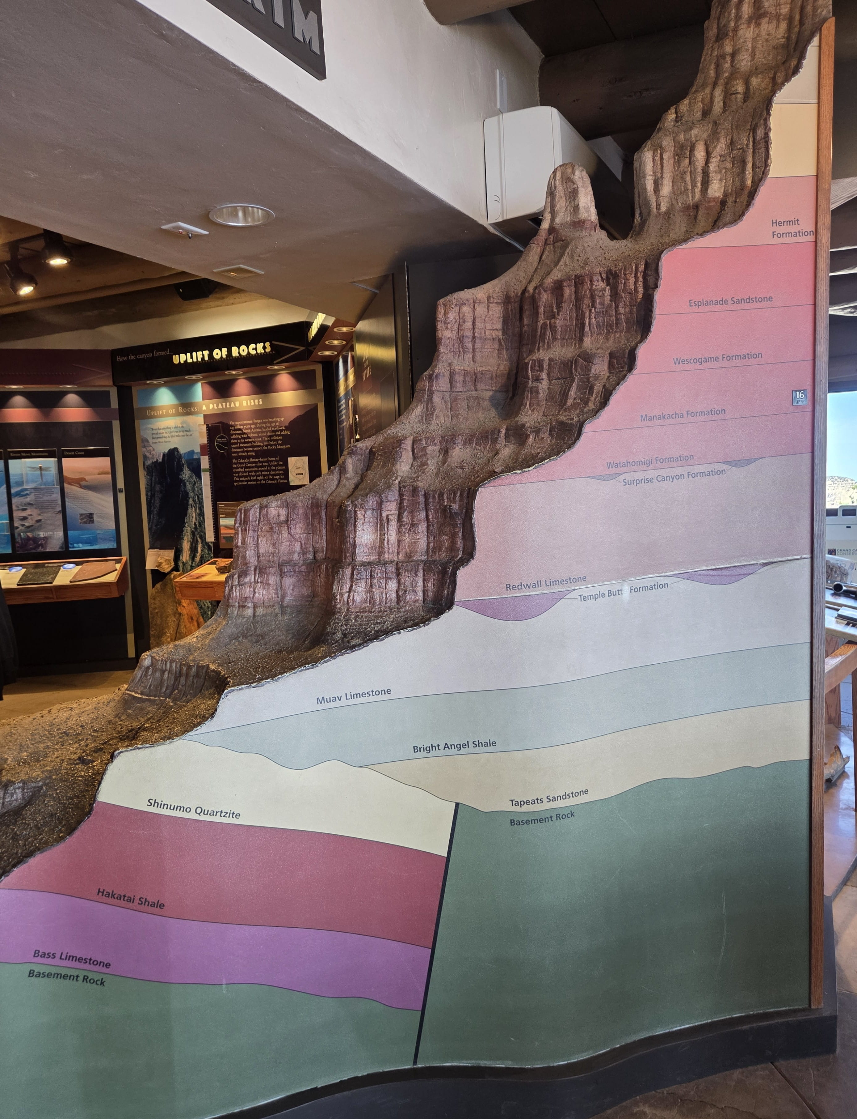
Yavapai Geology Museum was close to the visitor center. The museum offered a great view of the canyon with Colorado River flowing through. There were also many exhibitions showing the forming of the Grand Canyon and the different layers of the rock formations.
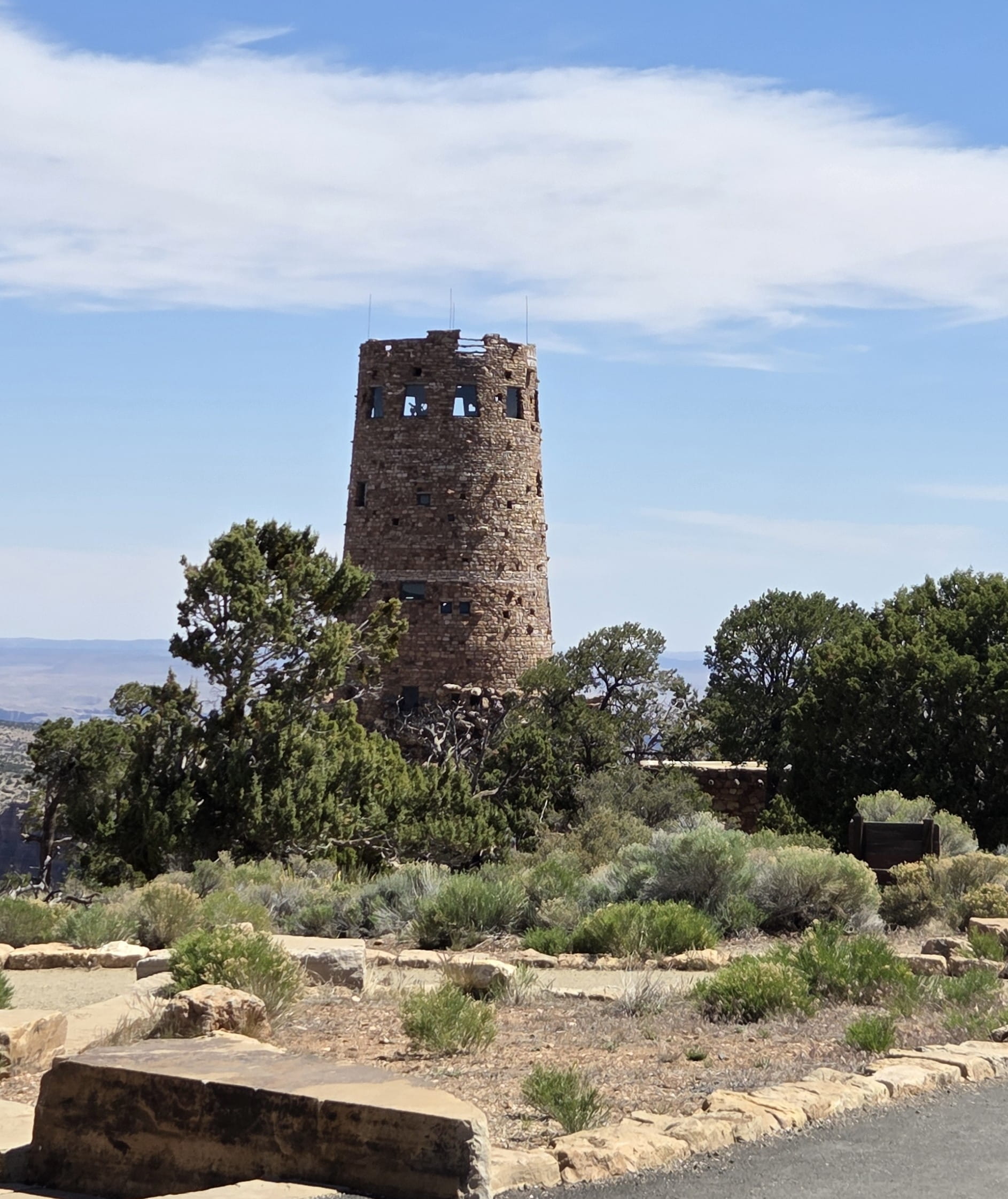
On the way to Page, we drove past Desert View and visited the Grand Canyon Watchtower. The place was swamped with tourists. Tower climbing would require a timed ticket. The next available tickets were at 11am, and it’s only 10:20am now. We didn’t want to wait 40 minutes, so we skipped the climb and only took photos around.
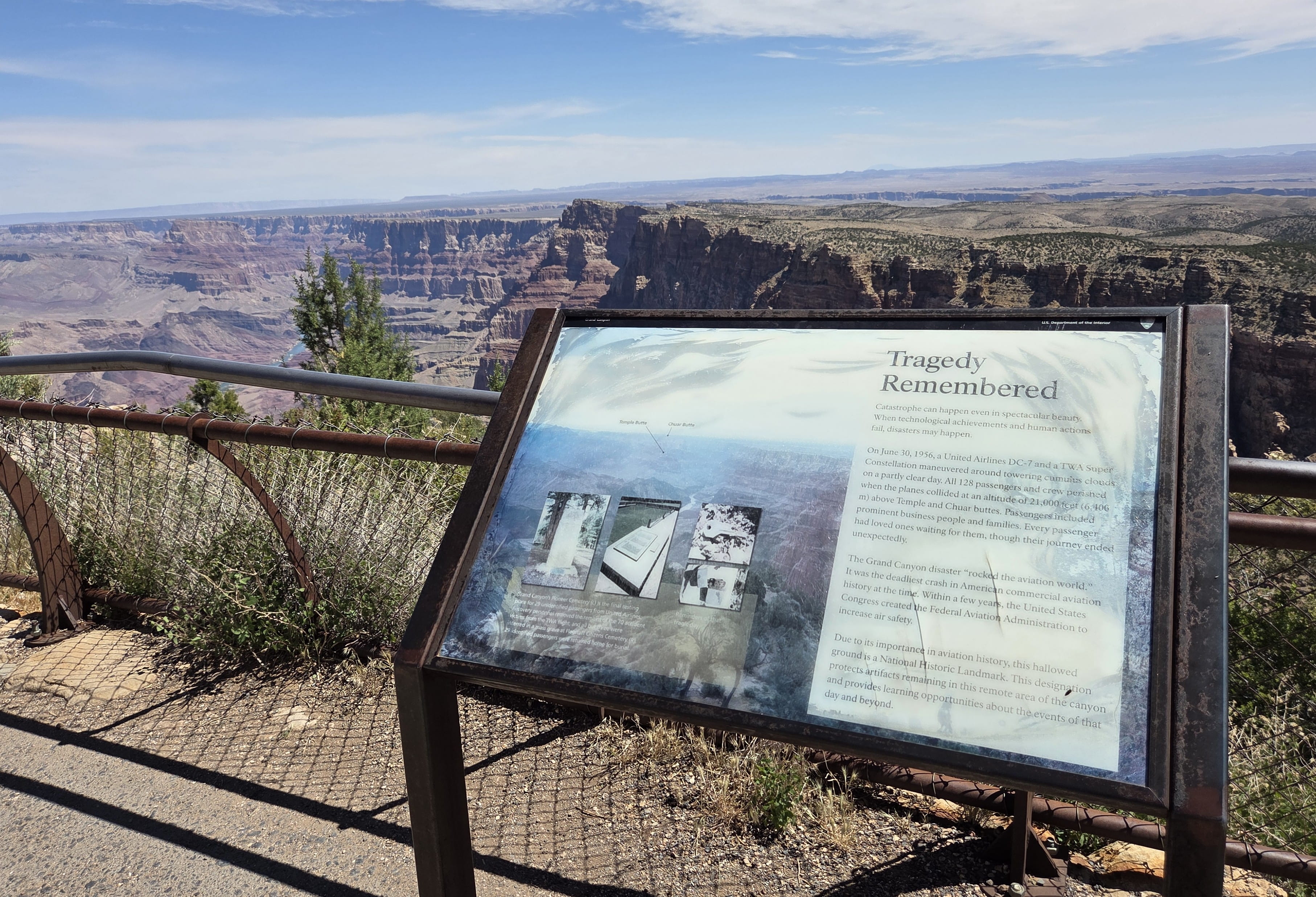
This place witnessed a tragic airplane crash in 1956, and there was a memorial sign. Tony Hillerman (one of my favorite authors) had a book “Skeleton Man” based on this airplane accident.
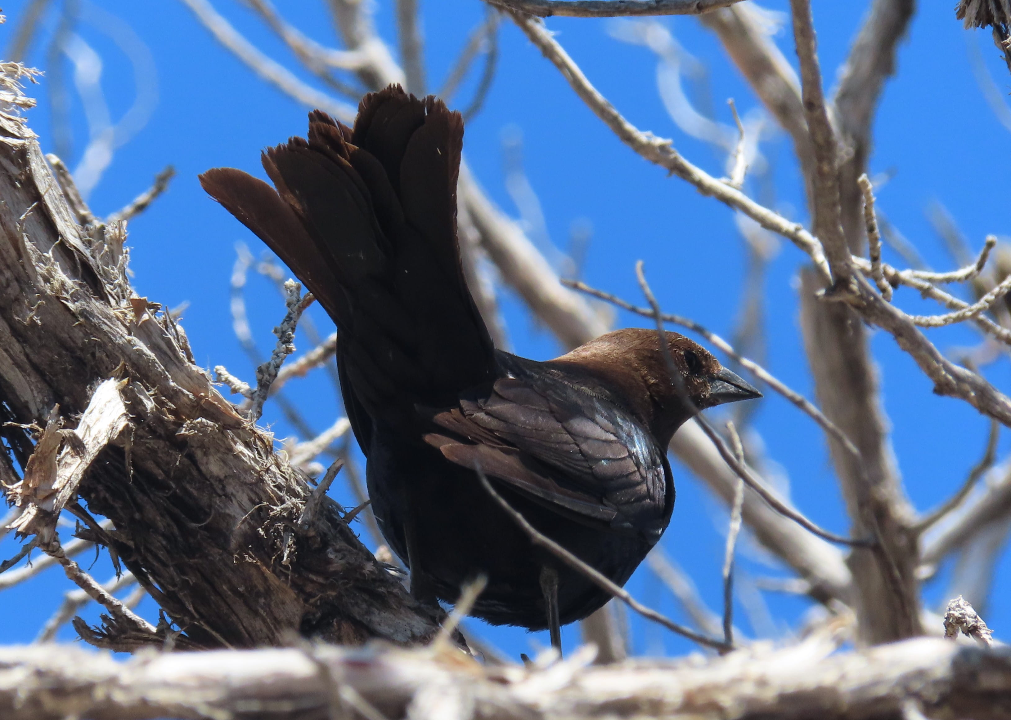
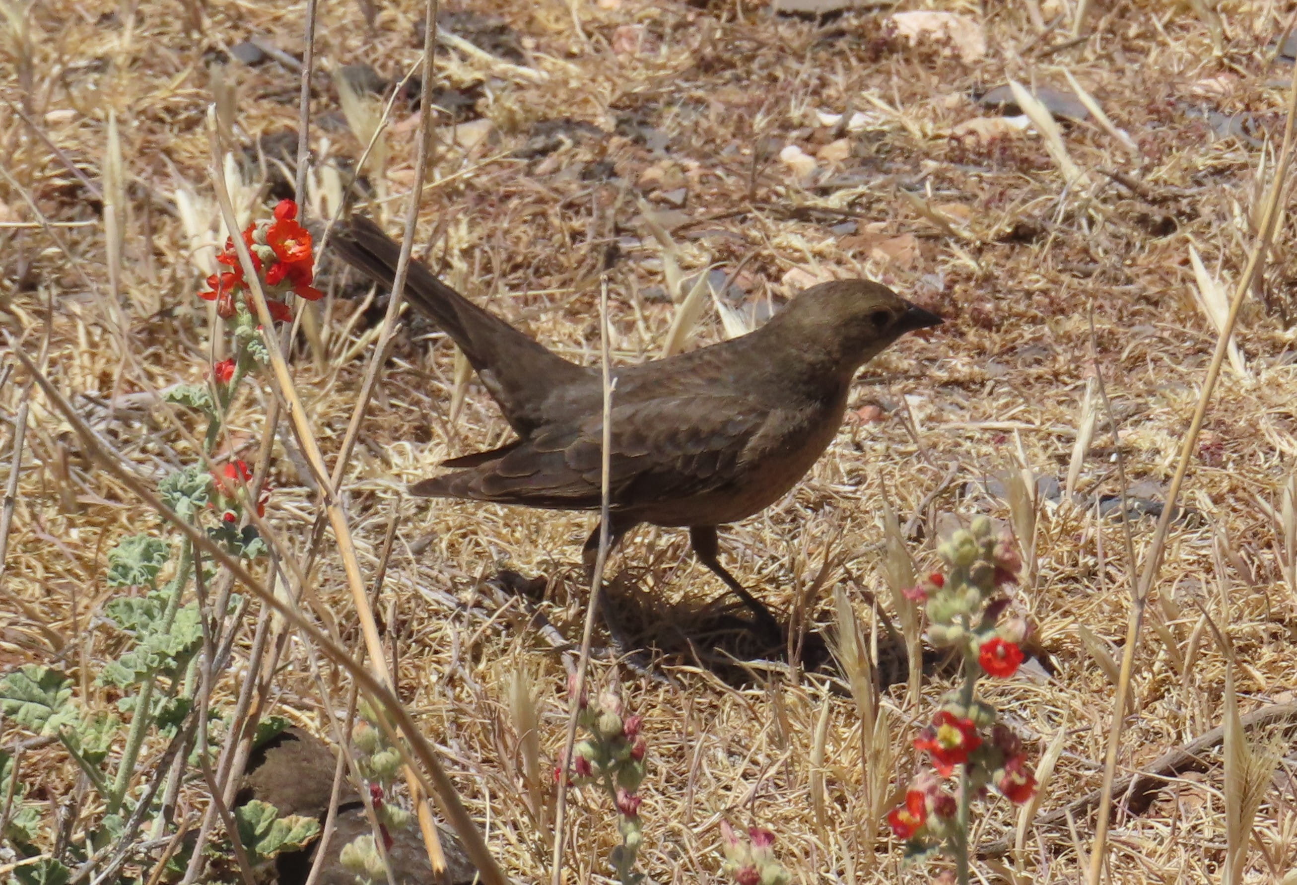
I saw several Brown-Headed Cowbirds flying around the parking lot. There were also Brewer’s Blackbirds on the lawn. This was where I saw most birds in Grand Canyon.
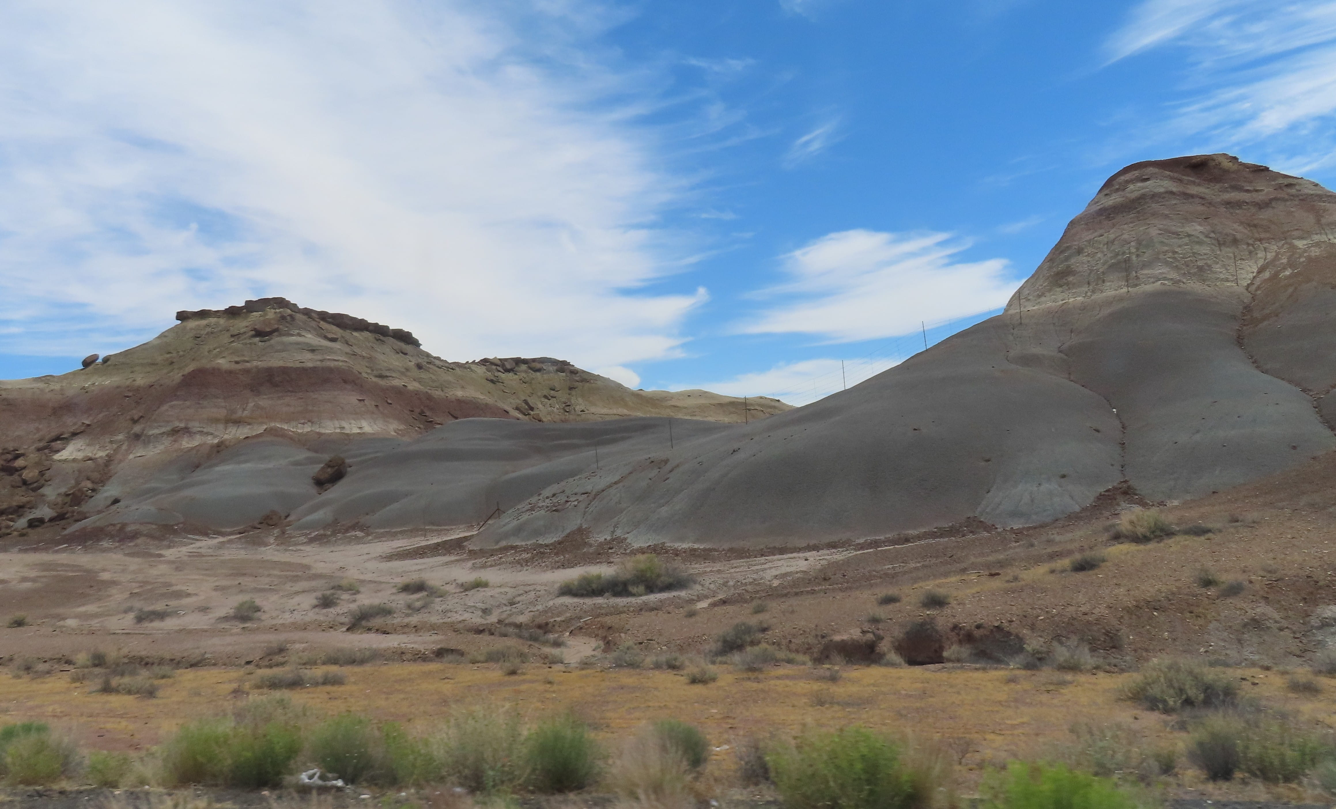
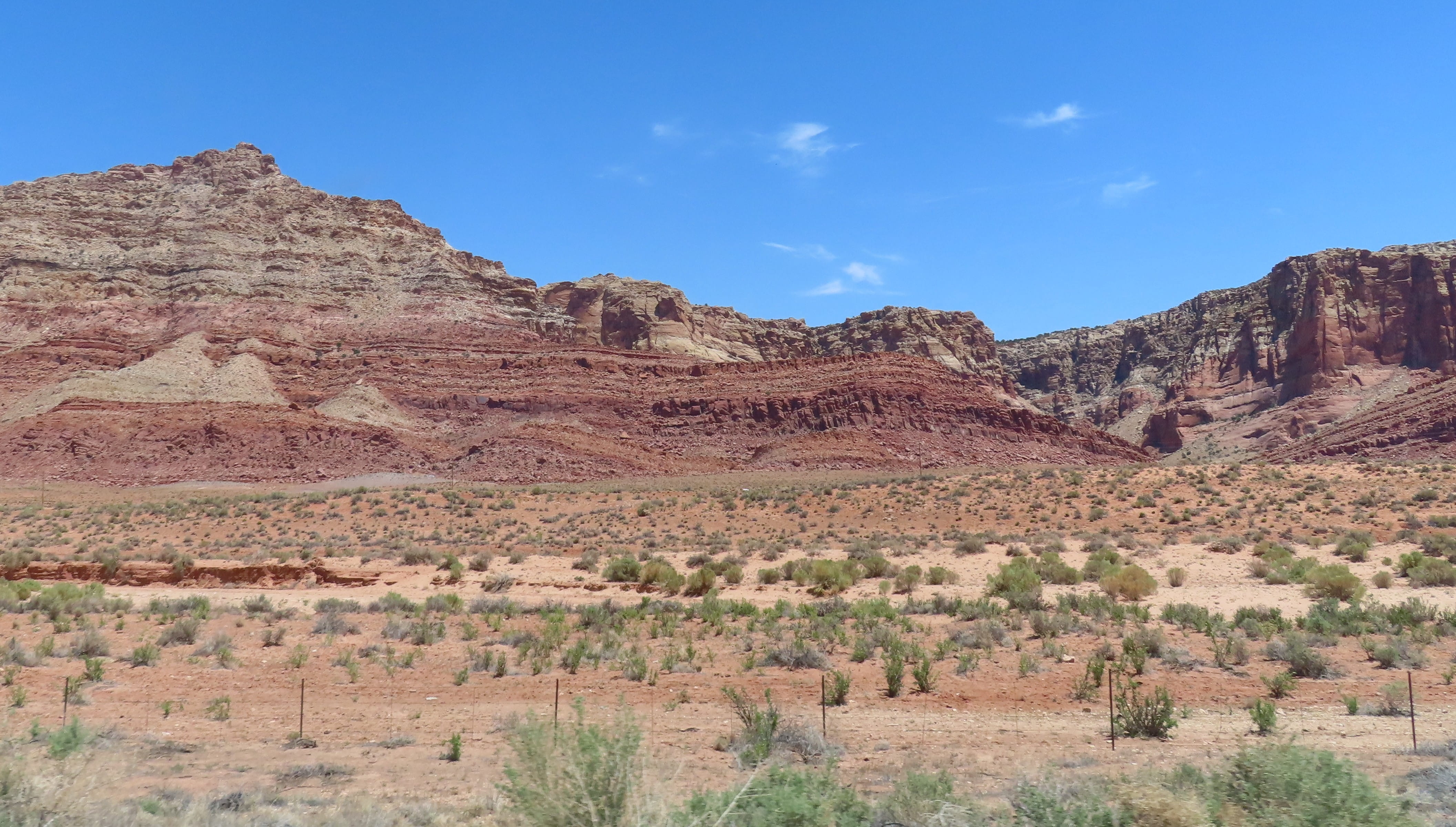
After we left Grand Canyon, we drove on Hwy 89, which was an extremely scenic route. The entire road was lined with colorful painted hills. The area was sparsely populated. There were many vending stalls of native art crafts on the way, but most of them were empty because the prime tourist season hasn’t started yet.
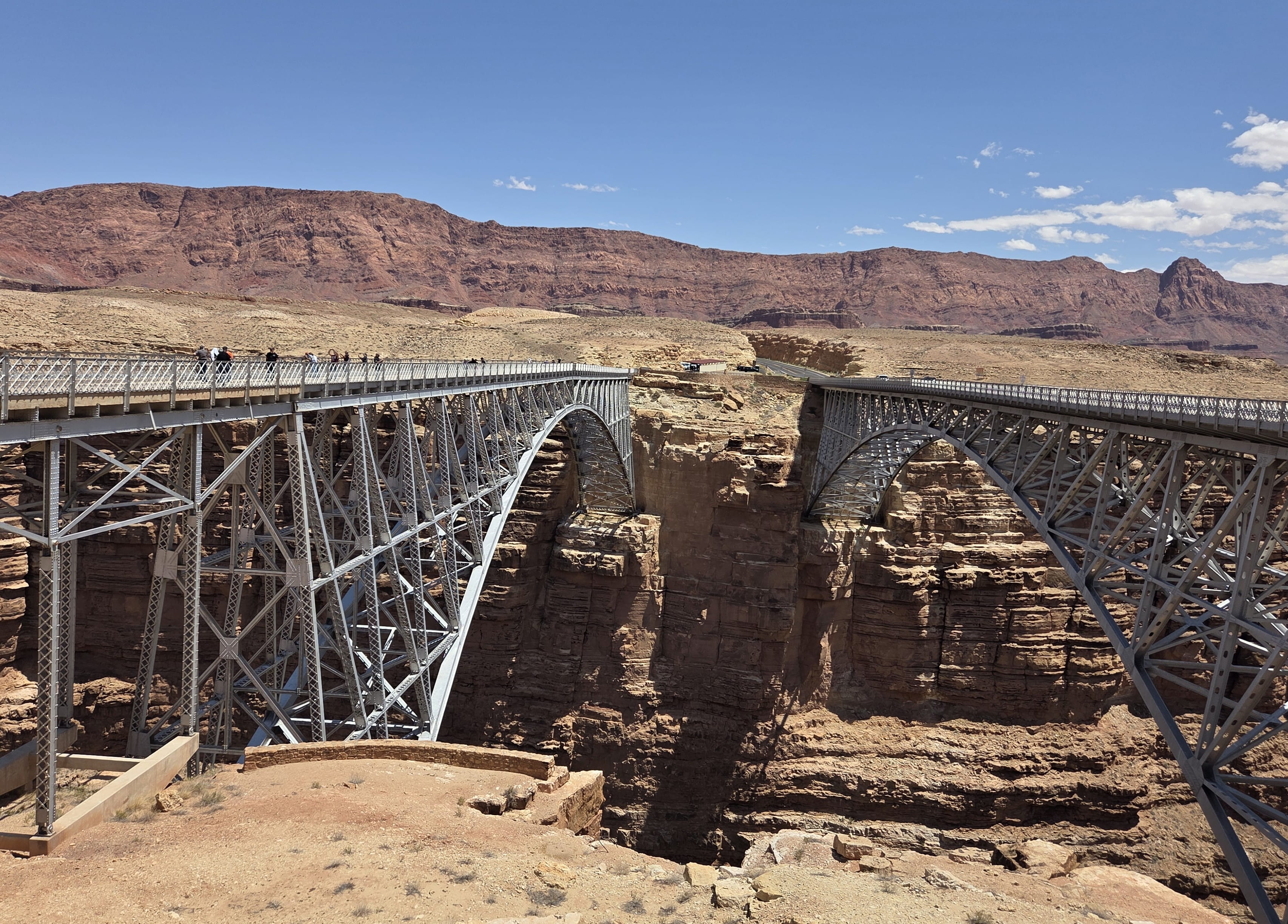
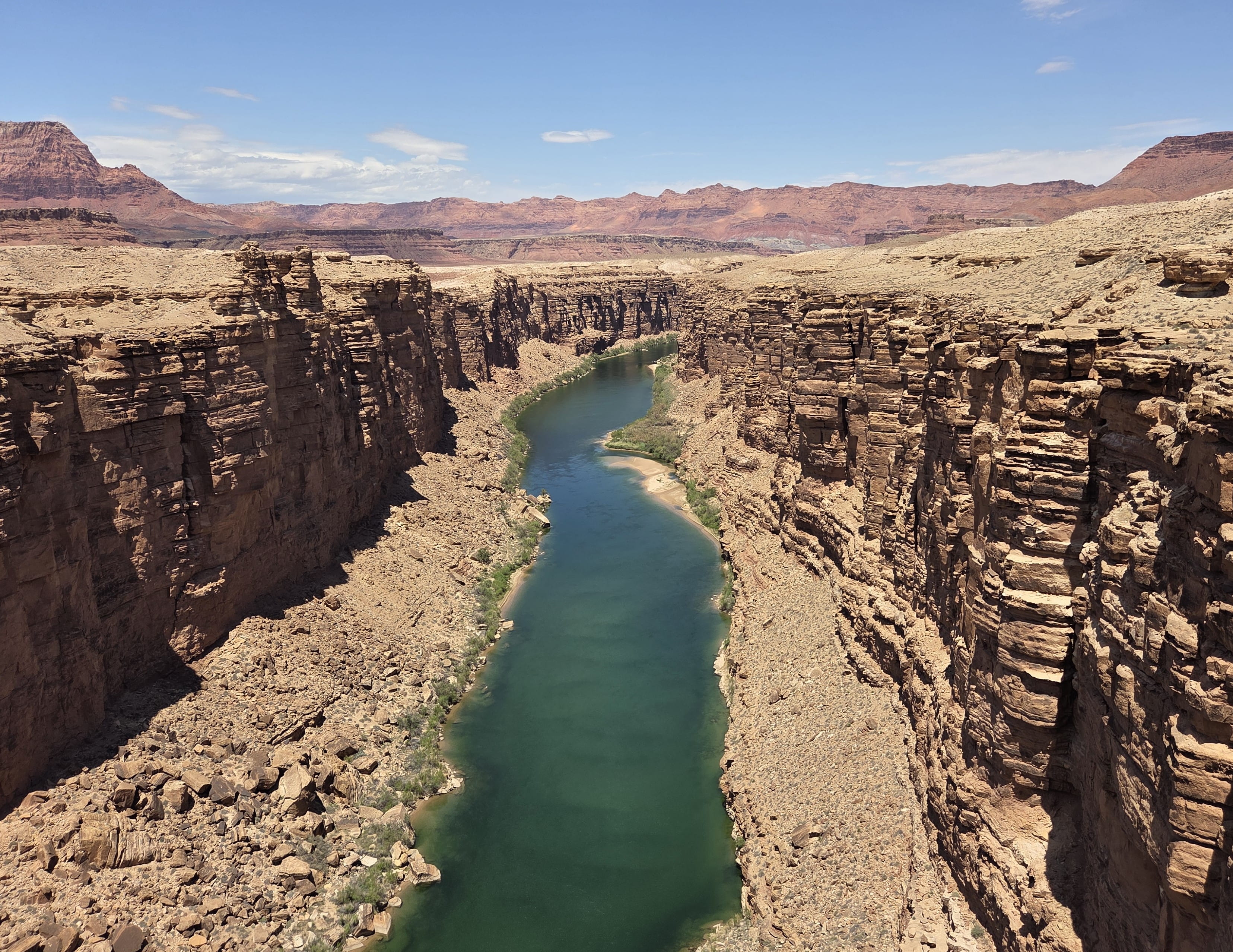
It was already past 12:30pm when we arrived at Navajo Bridge on Hwy 89A. We ate leftovers at the parking lot before walking on the bridge. Navajo Bridge is a historical twin bridge spanning over emerald green Colorado River. We saw two big rafts with many riders on them sailing down the river.
There was also a small visitor center onsite, where we collected more national park stamps.
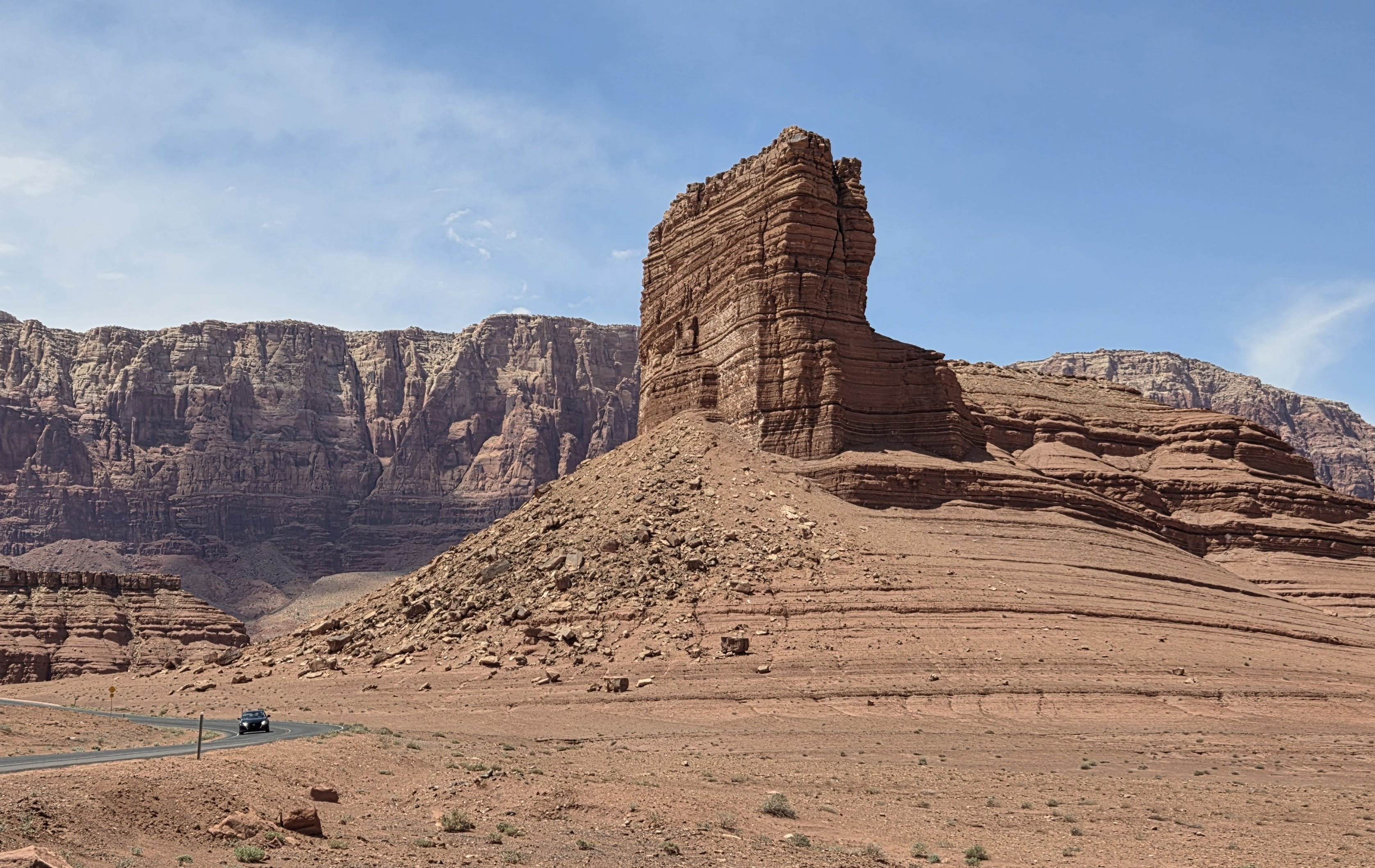
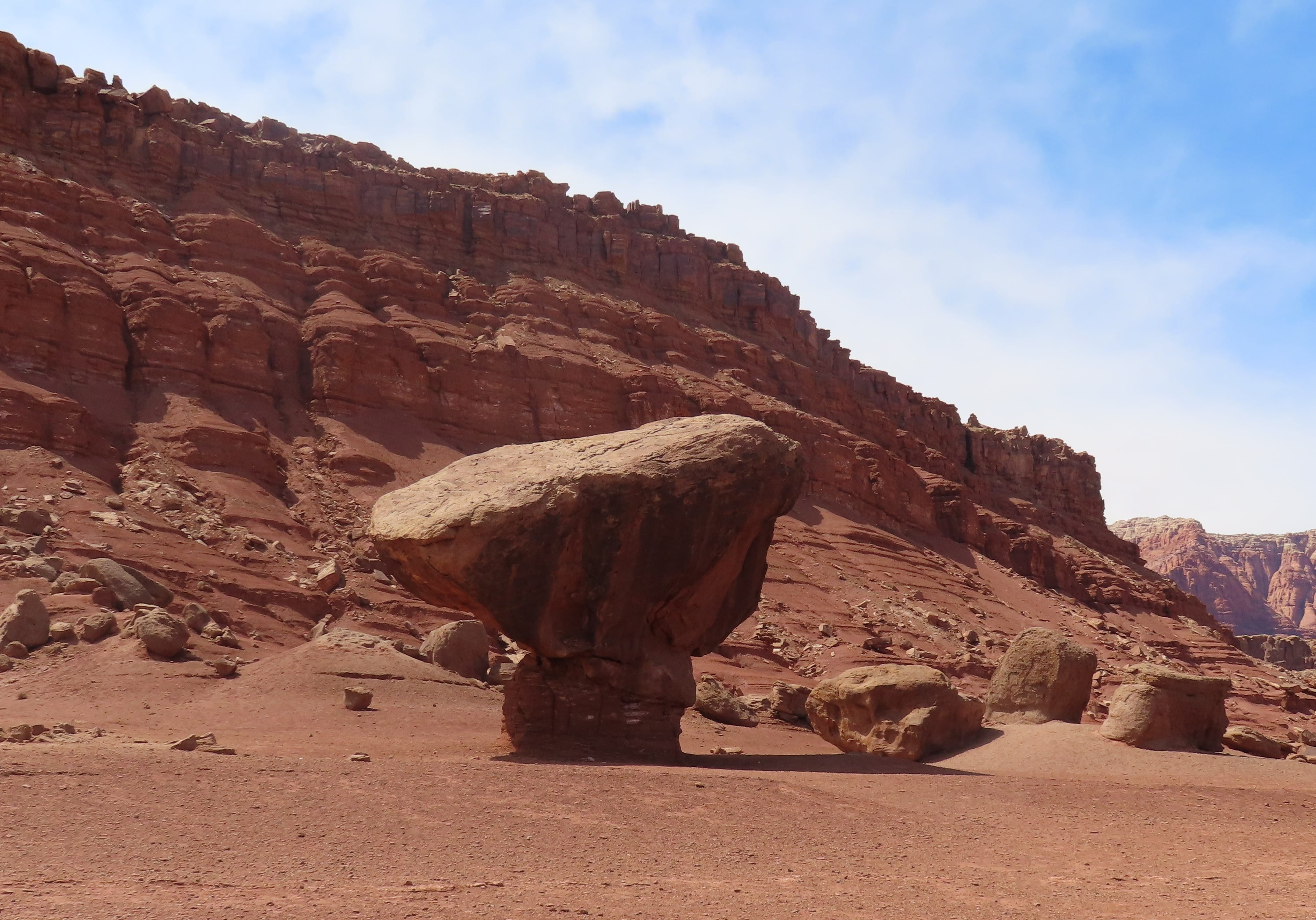
After we left Navajo Bridge, we saw a Marble Canyon sign, but we couldn’t find where to do sightseeing. Then we saw many cars driving towards Lees Ferry, so we decided to follow them. The road was paved and in an amazing condition, so it was a very easy drive. There were fantastic rock formations such as Cathedral Rock and Balanced Rock on the way.
At the end of the road, there’s a sandy beach with several river rafts. Colorado River was very clean. Rei and I both took off our shoes to wade the river. The water was cool.
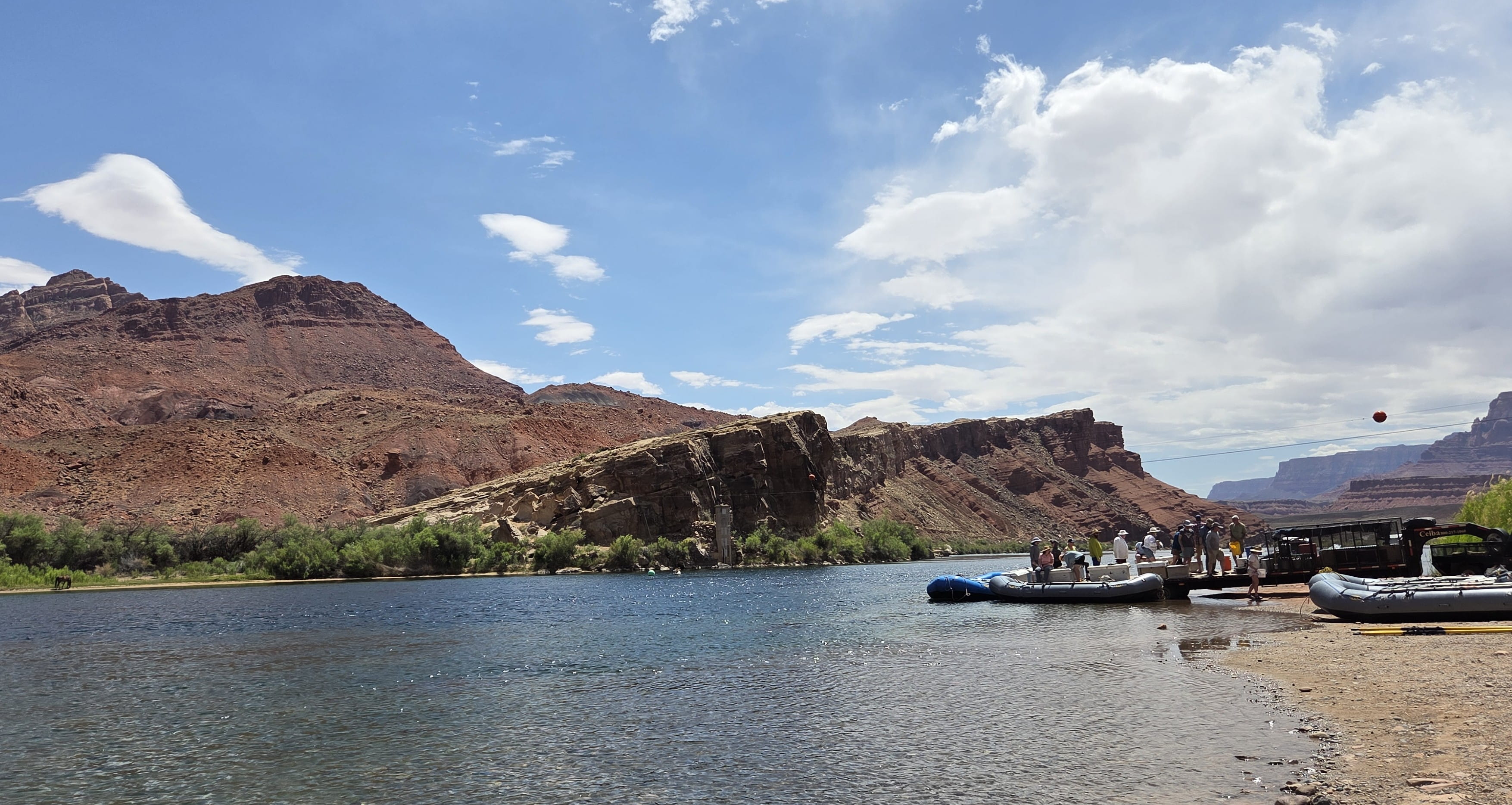
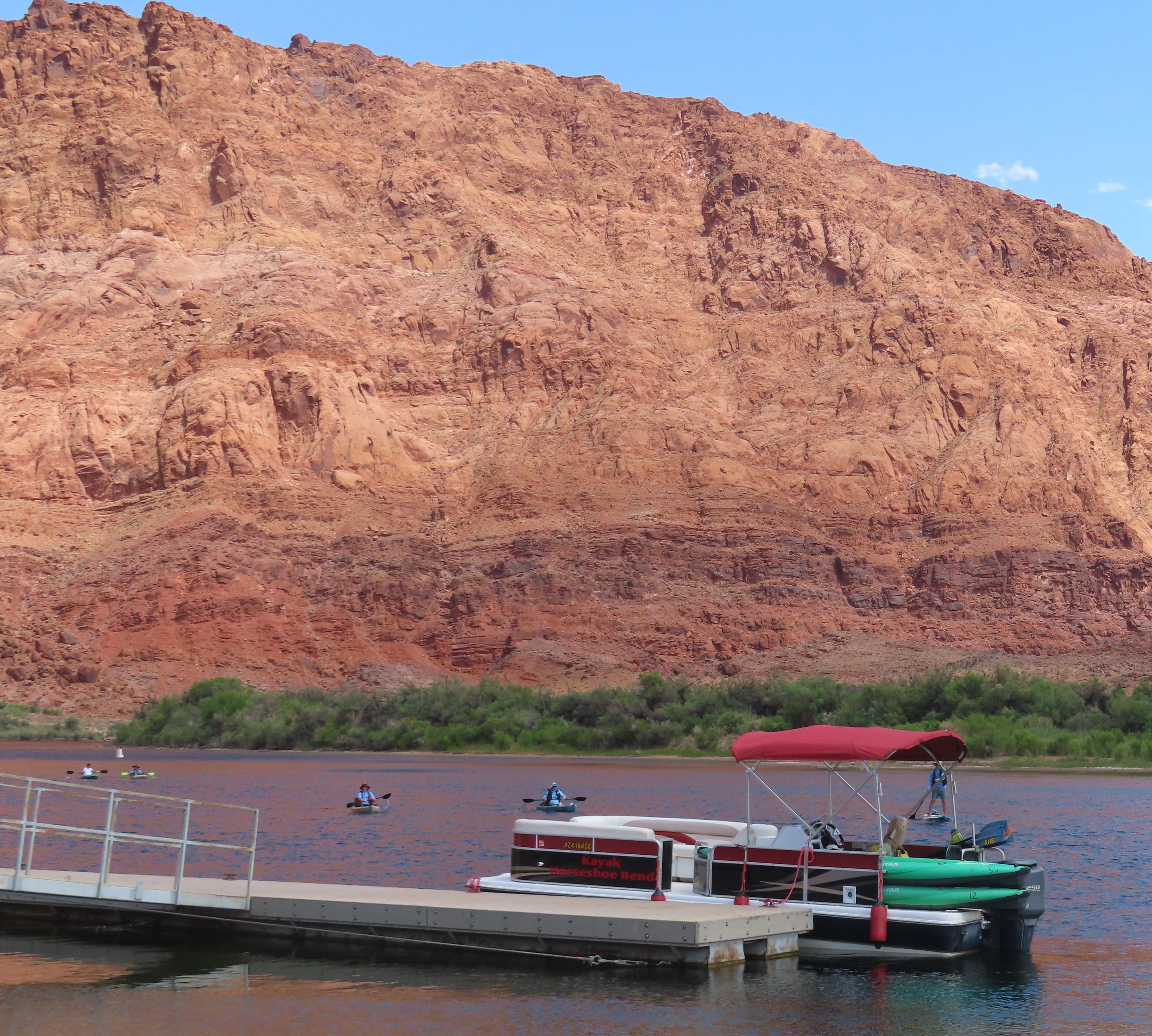
We also saw people kayaking because the river was very calm around here.
“This is a very cool place,” commented Rei.
Red sandstone hills stood behind Colorado River. They looked very impressive. The entire area is part of Glen Canyon National Recreational Area. There were also hiking trails, but it was too warm to hike.
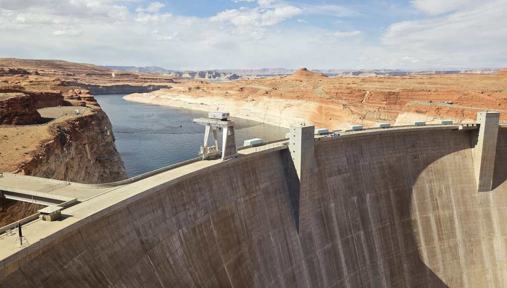
We decided to first stop by Glen Canyon Dam before checking into our hotel in Page. The dam didn’t offer public tours. There were only information and display at the visitor center. The bookstore at the visitor center had a national park stamping station with various stamps to add to our collection.
Today was warm. After we checked into the hotel, Rei immediately went to the hotel pool. I stayed in the room. Our balcony had a partial Glen Canyon Dam view.
There weren’t many restaurants in Page. We had pizza tonight.
Day 6: Antelope Canyon
Antelope Canyon is inside the Navajo Tribal Land and can be visited only by joining a tour by a Navajo travel company. The slot canyon is best visited around noon, when the sunlight can reach the canyon bottom.
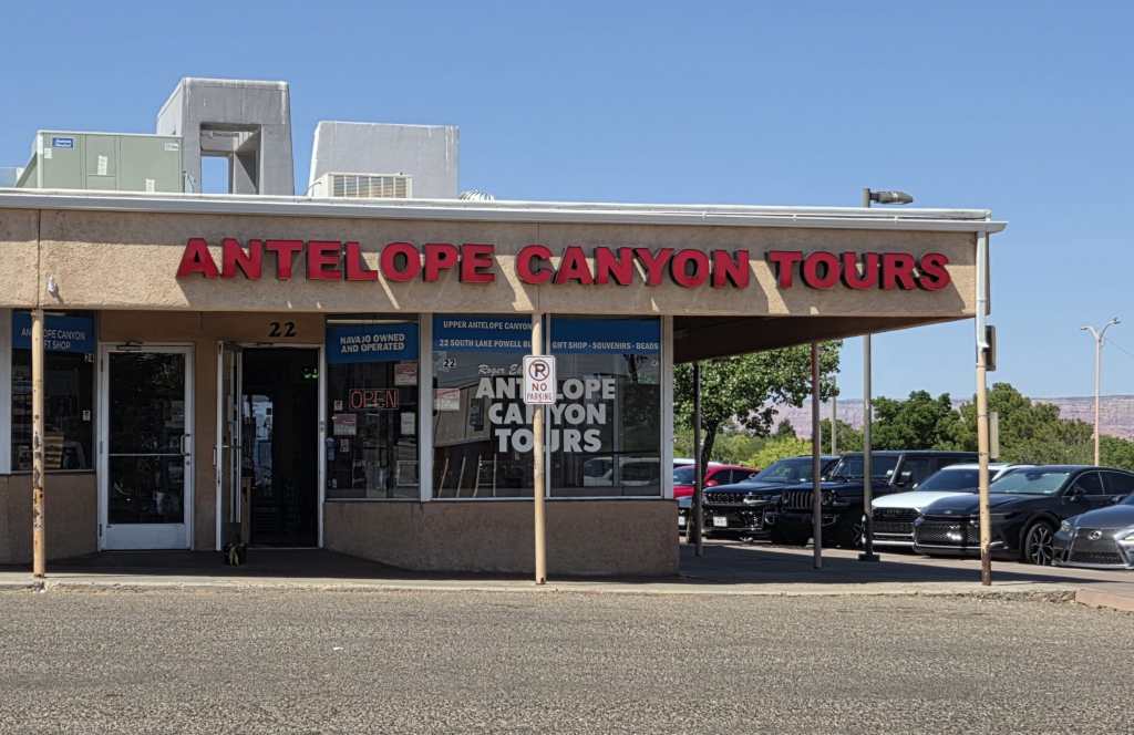
I booked an 11:20am Upper Antelope Canyon tour with Antelope Canyon Tours company. The tours were very popular and constantly sold out. I made the reservation about 6 months ago. There were several groups of the 11:20am tour; we were in the green group with a lady Navajo guide, who drove us to reach Upper Antelope Canyon in a van.
After the canyon entrance. The van drove on an unpaved red sand road. The ride was extremely bumpy. I felt like we got an extra ATV ride with this tour. When we finally arrived at the slot canyon entrance, there were many vans from various tour companies parked there.
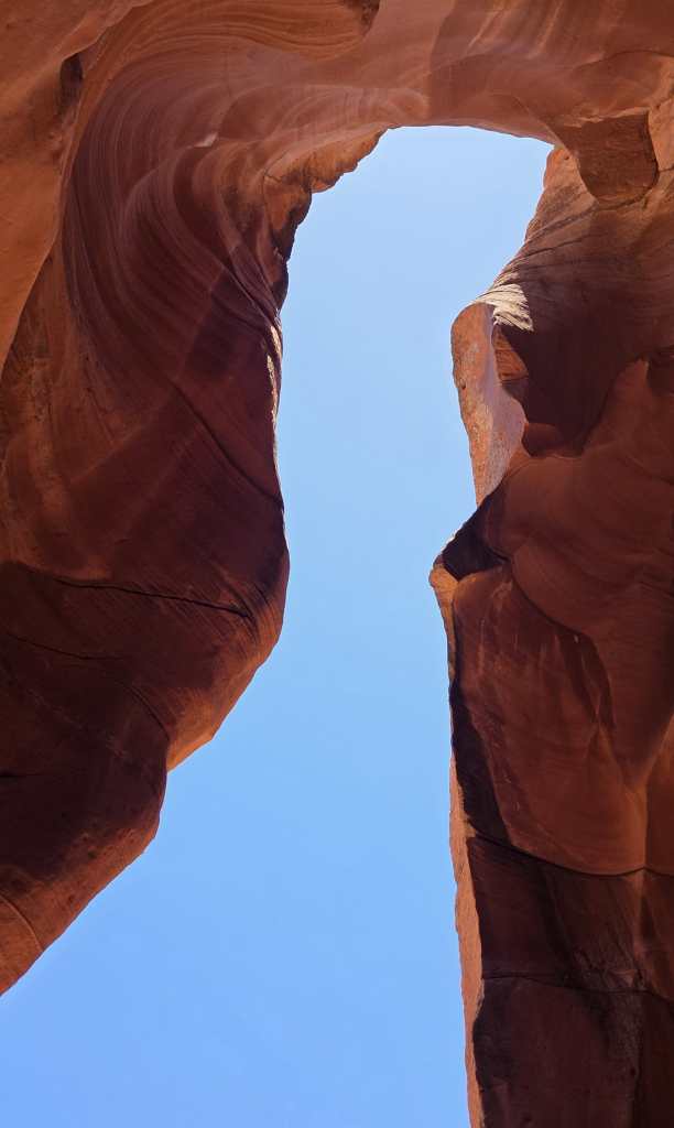
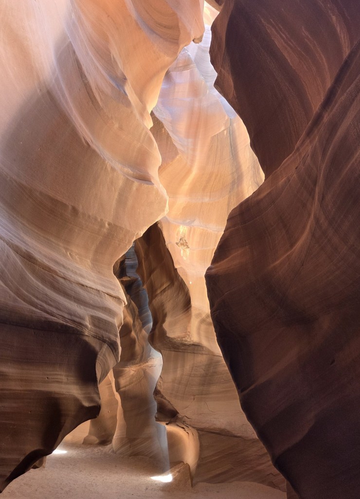
The place was crowded with many tourists, but the guides did a wonderful job controlling the flow. Our guide pointed out many photo points and took pictures for each individual group. At the canyon entrance, she pointed out that the shape of the rock entrance was nicknamed “Lady in the Skirt.”
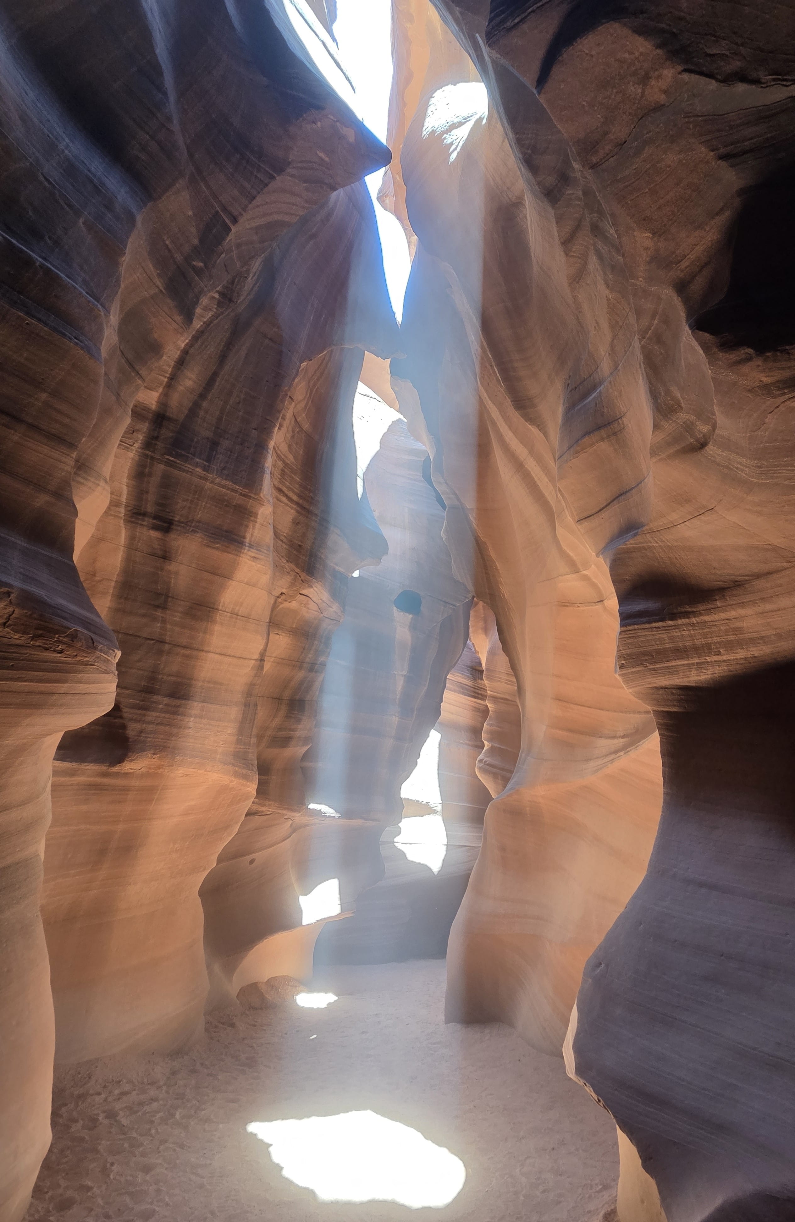
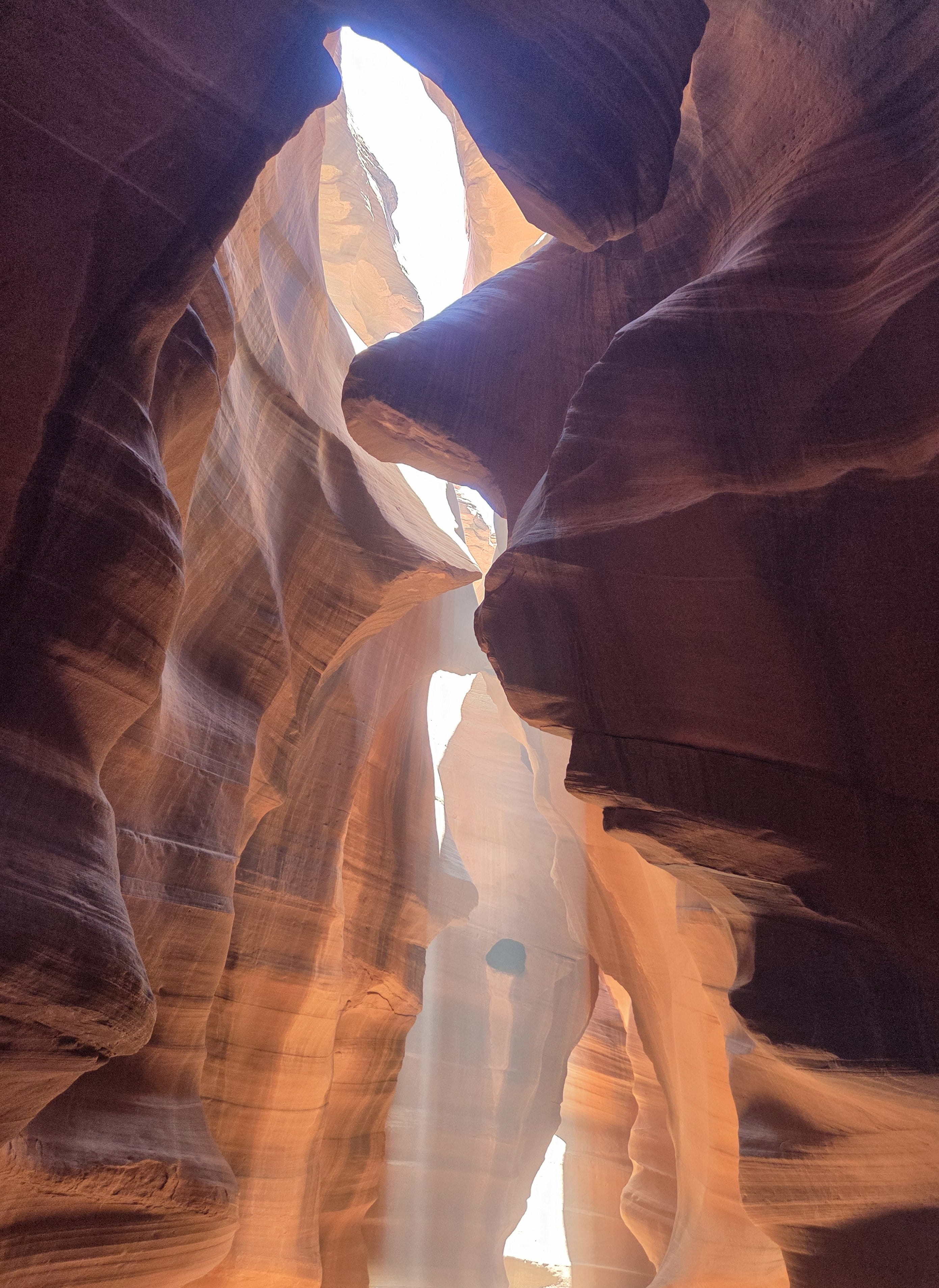
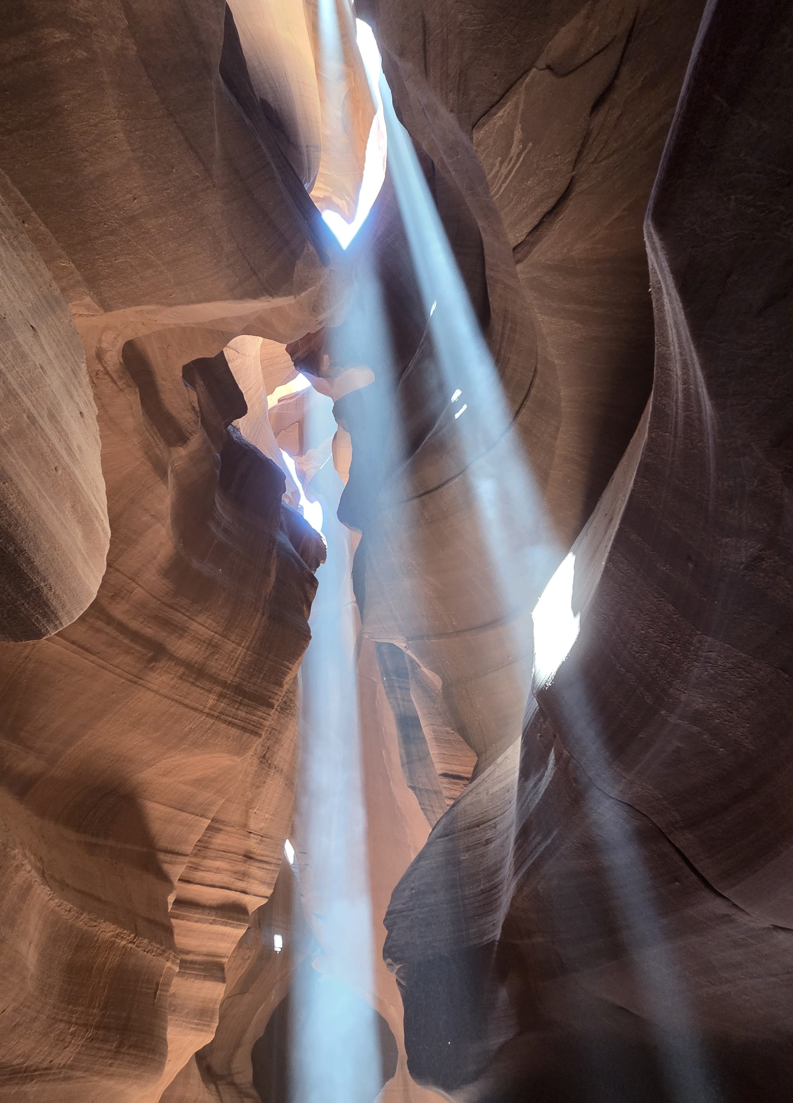
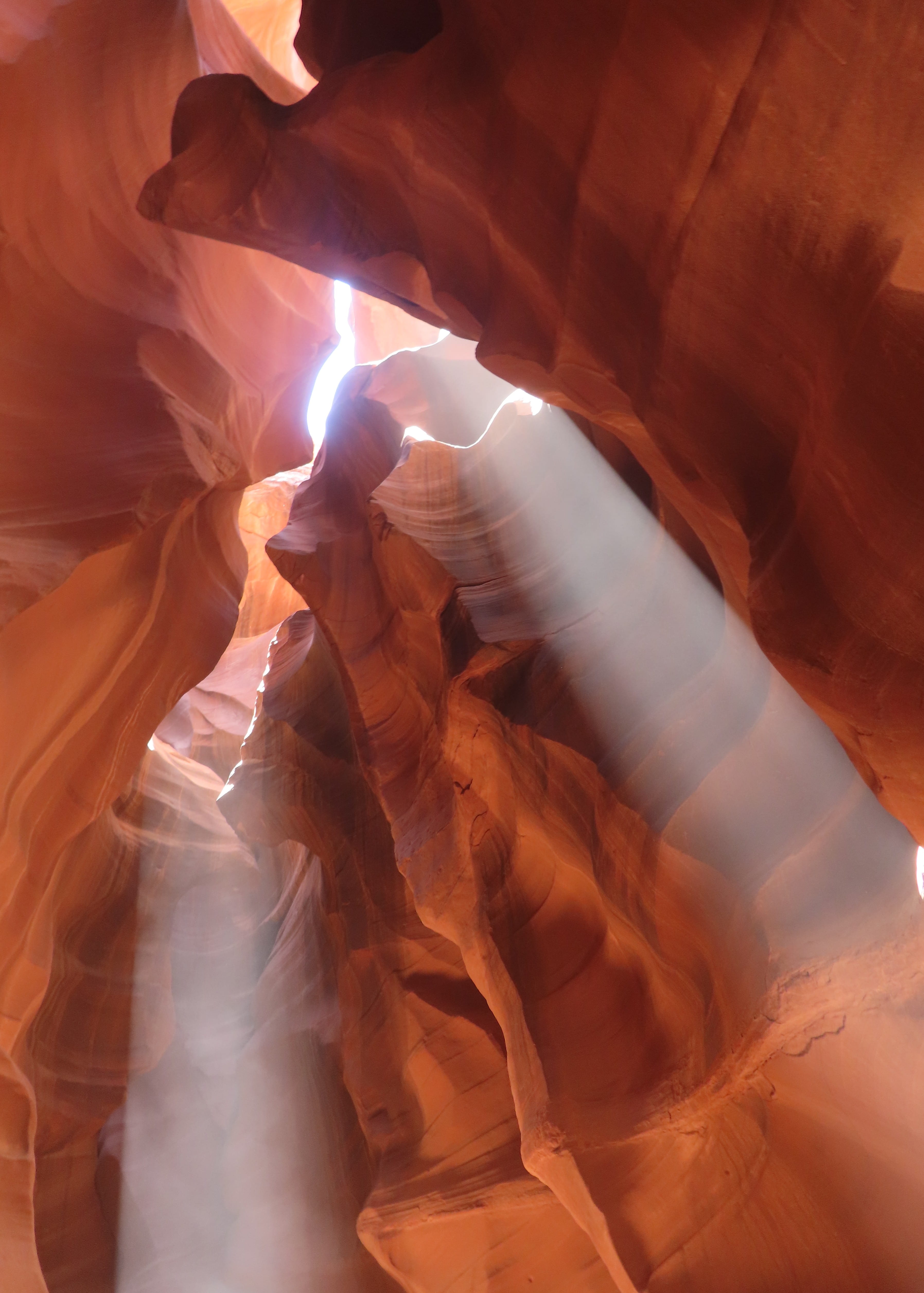
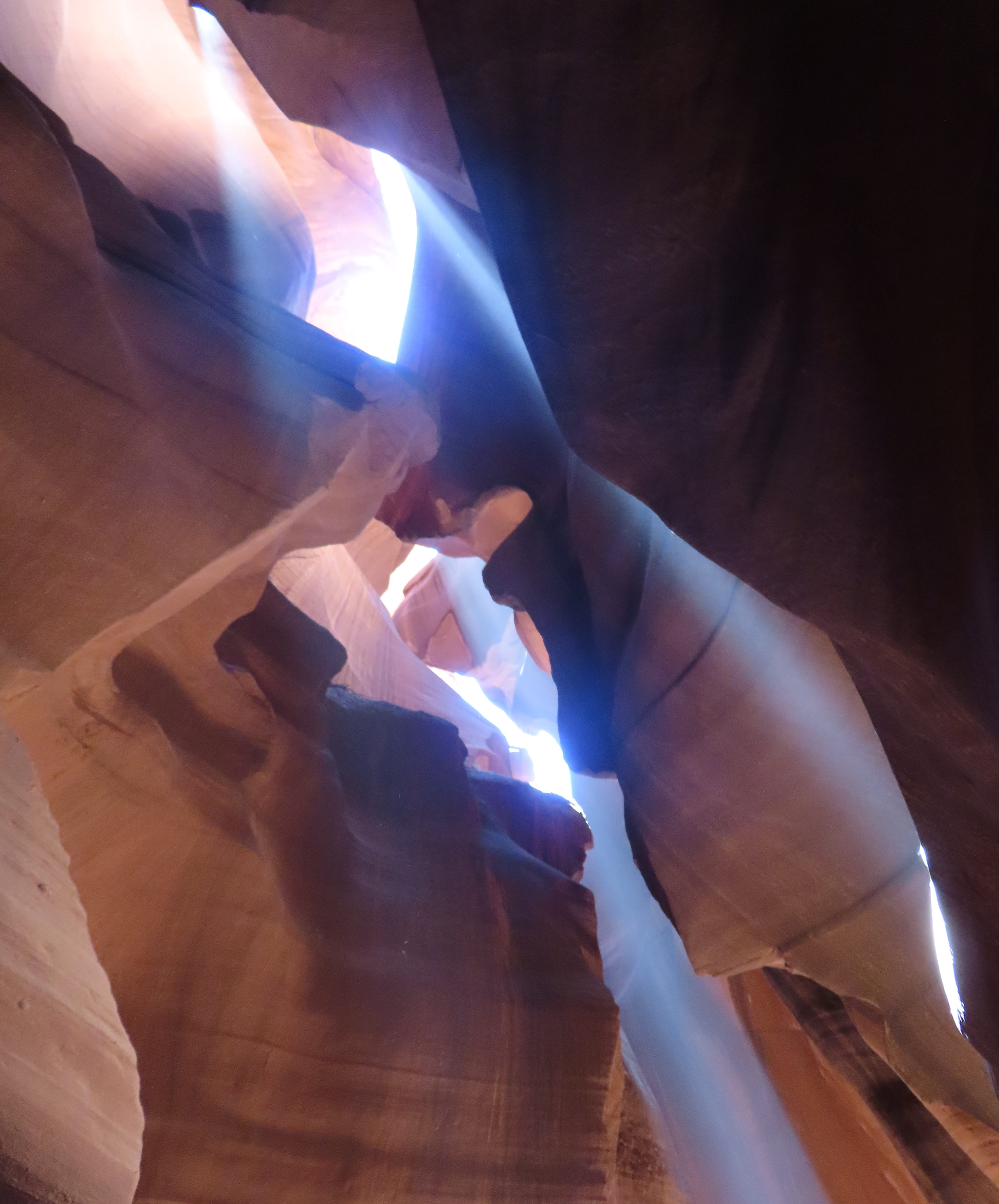
Sunlight came through several places in the slot canyon. In some spots, there were two to three sunbeams shining through. The guide also sprayed red sands towards the sunlight to create “special effects” for us to take pictures. There were two little kids in our group; they were having fun playing with the sand too 😊
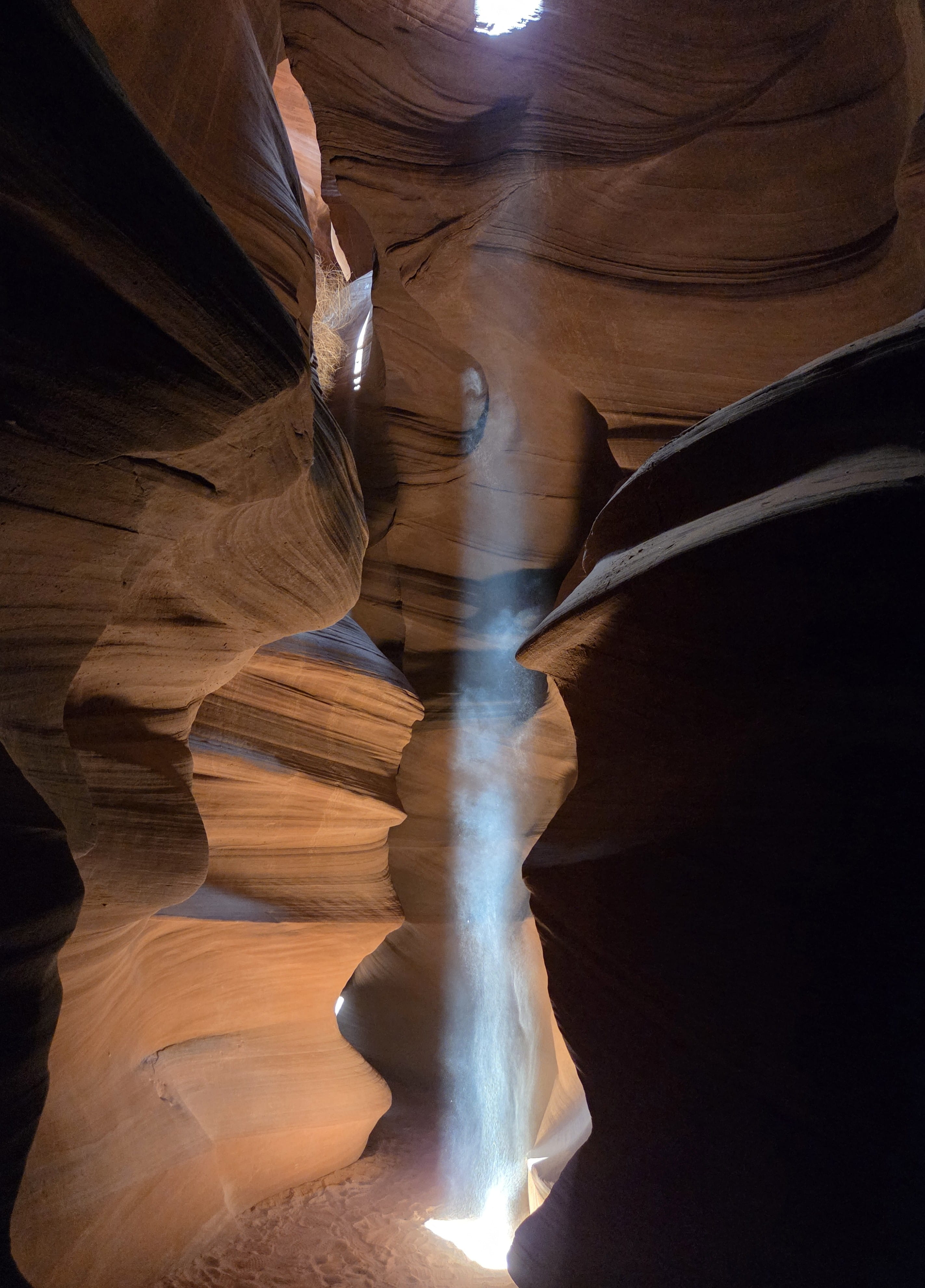
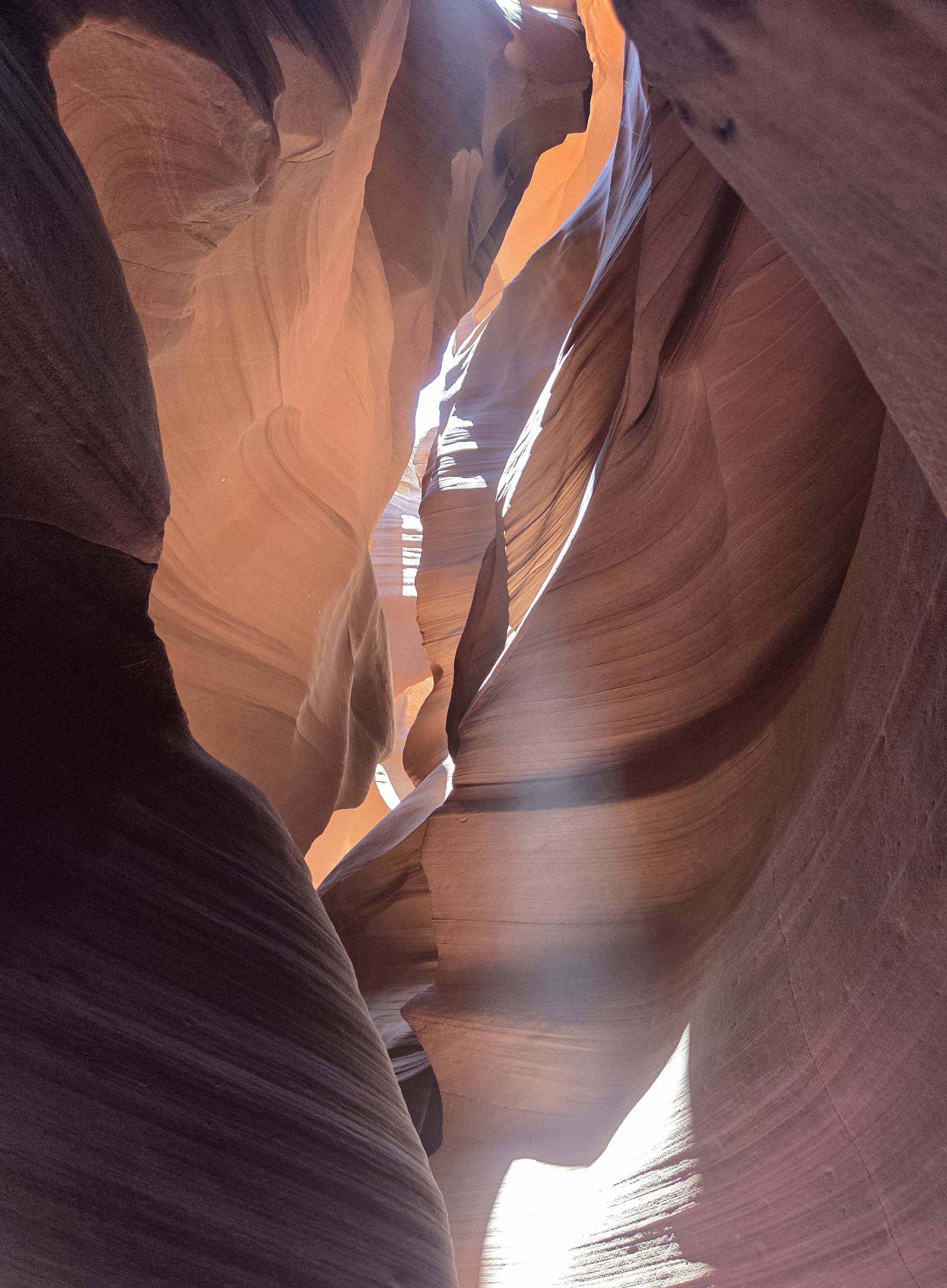
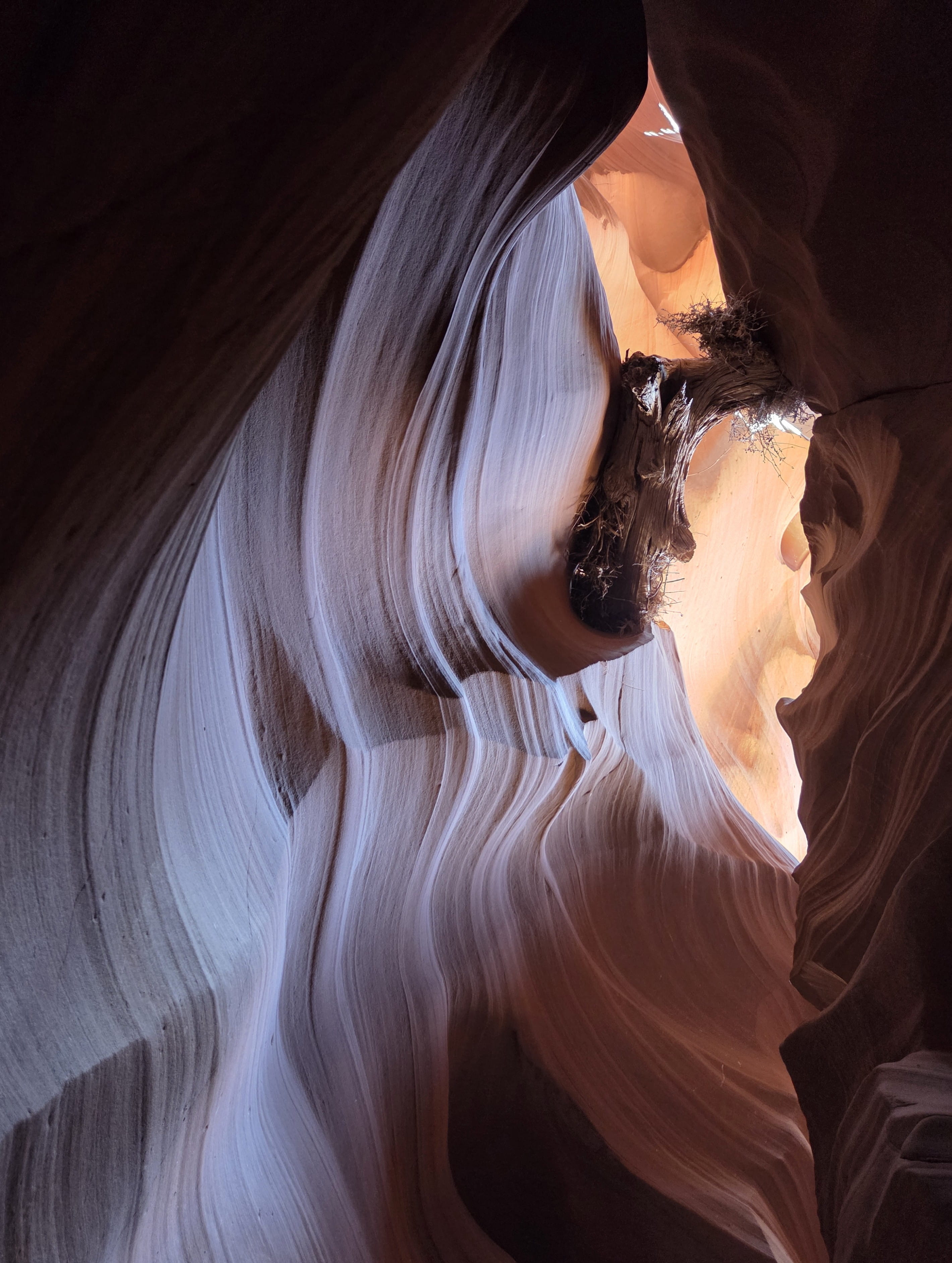
After taking and posing for tons of photos, we finally reached the end of the slot canyon. From there, we walked on a path with staircases to return to the parking lot. This was a fantastic tour! Though it’s very expensive ($127 per person, including $15 Navajo Park Fee), it was well worth the money.
It was after 1pm when we returned. There’s a Safeway supermarket nearby, where Rei and I went grocery shopping for our lunch.
It wouldn’t take a long time to visit Horseshoe Bend, so we stayed in our hotel room to rest and didn’t venture out until 4pm. Moreover, the temperature would be cooler by then.
Even though Horseshoe Bend is located inside Glen Canyon National Recreational Area, the parking lot is on the land belonging to city of Page, so we had to pay $10 to park our car. The parking lot was full of vehicles of various sizes. City of Page must have made a handsome profit!
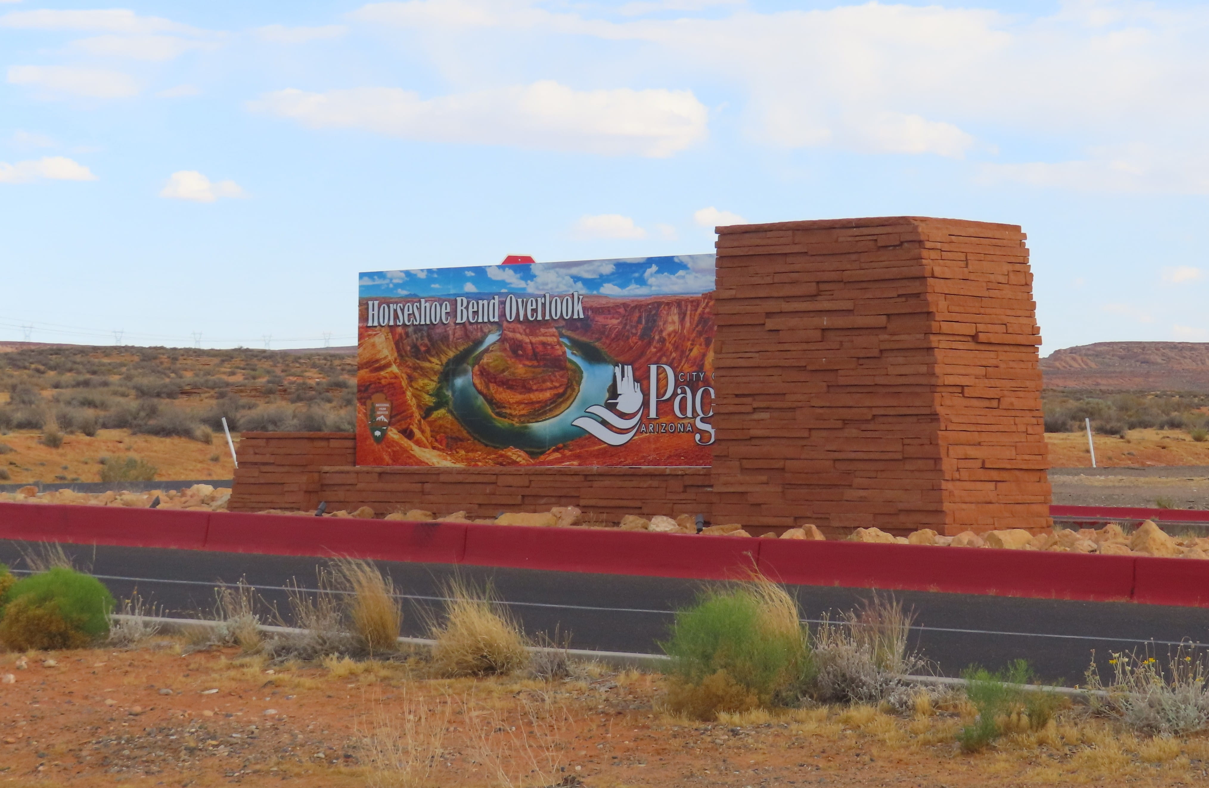
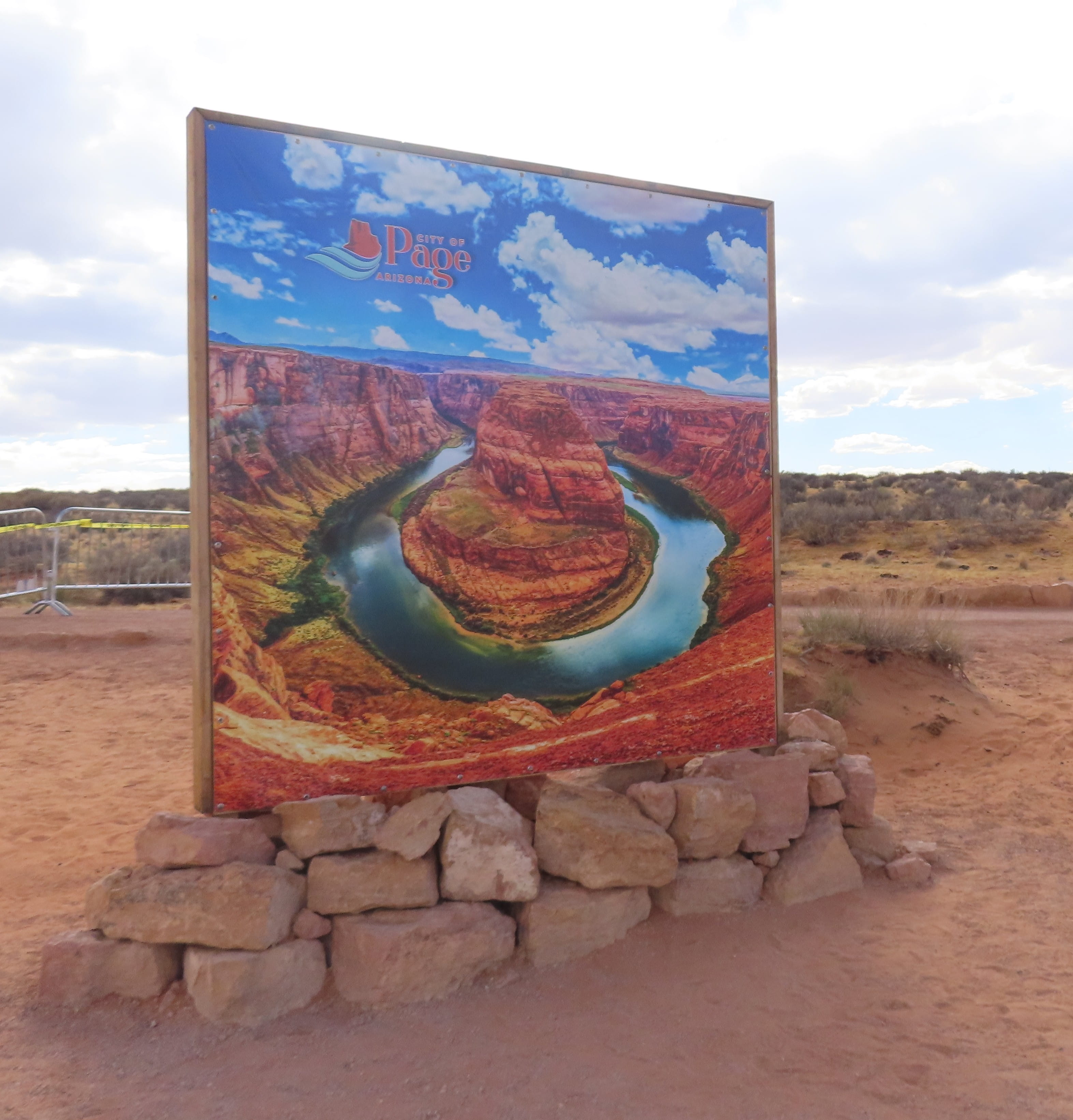
There’s a 1.5-mile roundtrip to reach the viewpoint. Even though the road was unpaved, it was flat and wide. There was a very big crowd walking in both directions.
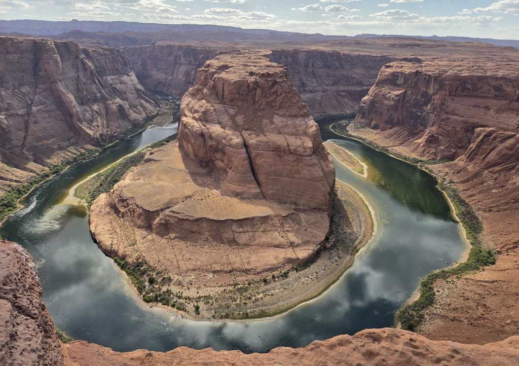
The best viewpoint of Horseshoe Bend was in a fenced area. From there, one could see the panoramic view. We could also see some rafters down by the river. There were other open areas where people could get very close to the rim (kind of dangerous!), but the views weren’t as impressive.
There was a rock formation that looked like Lion King’s Pride Rock. Many people climbed up the rocks to pose for pictures. Rei also went up to let me take a couple of photos.
This was about everything we could do, so we left the place to drive back. On the way back, we stopped by Big John’s Texas BBQ to buy some to-go dinner. The place was full of diners.
Day 7: To Barstow
We didn’t plan to hike Toadstool Voodoo Trail today. I just saw it on Google Map last night. It looked cool, and it’s on the route to Barstow, so we decided to check it out.
The trailhead was next to the Hwy 89. When we arrived, the parking lot was already pretty full with more than 20 cars. Internet information showed that it’s a very short hike, so we only carried a water bottle, and Rei didn’t even bother to put on sunscreen.
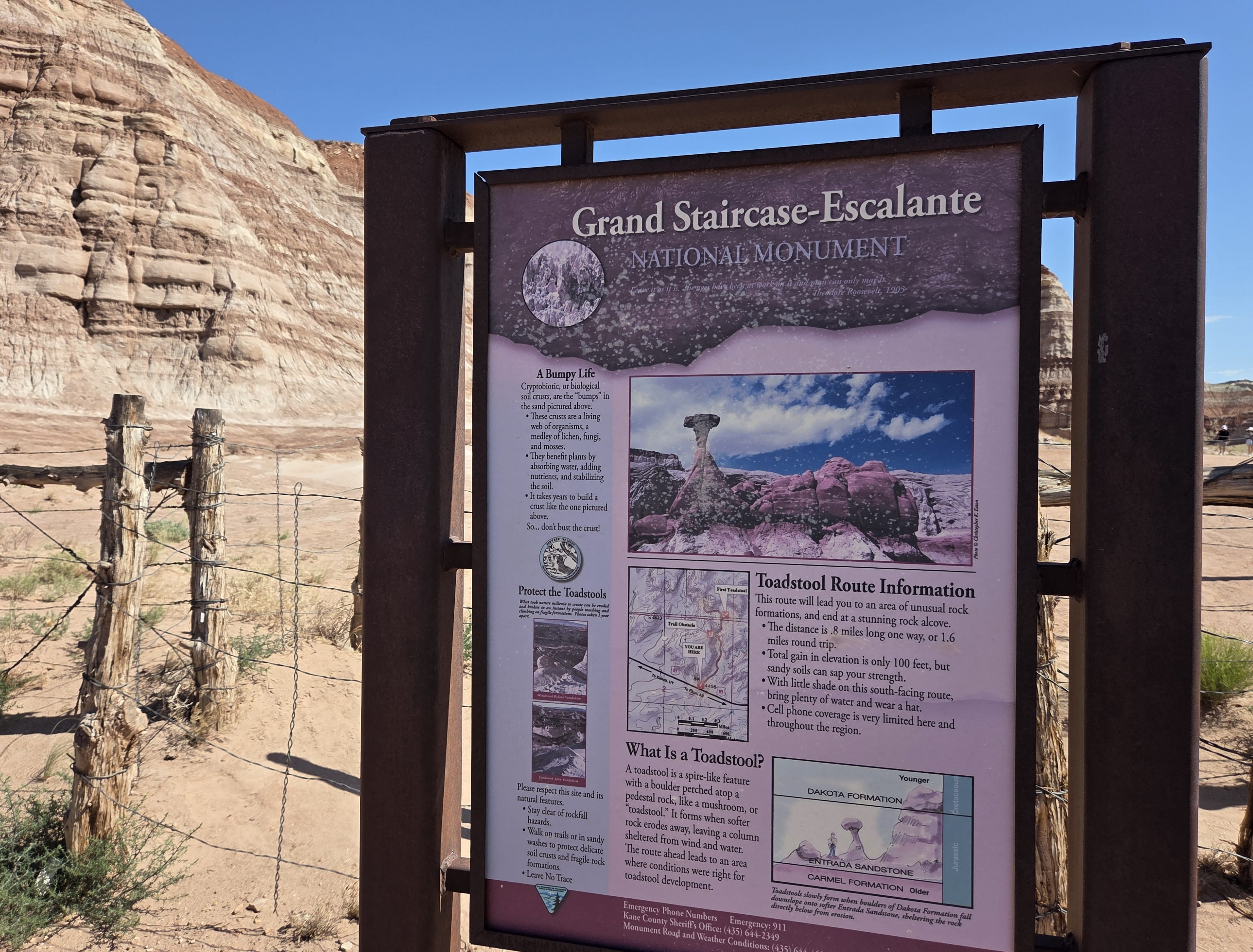
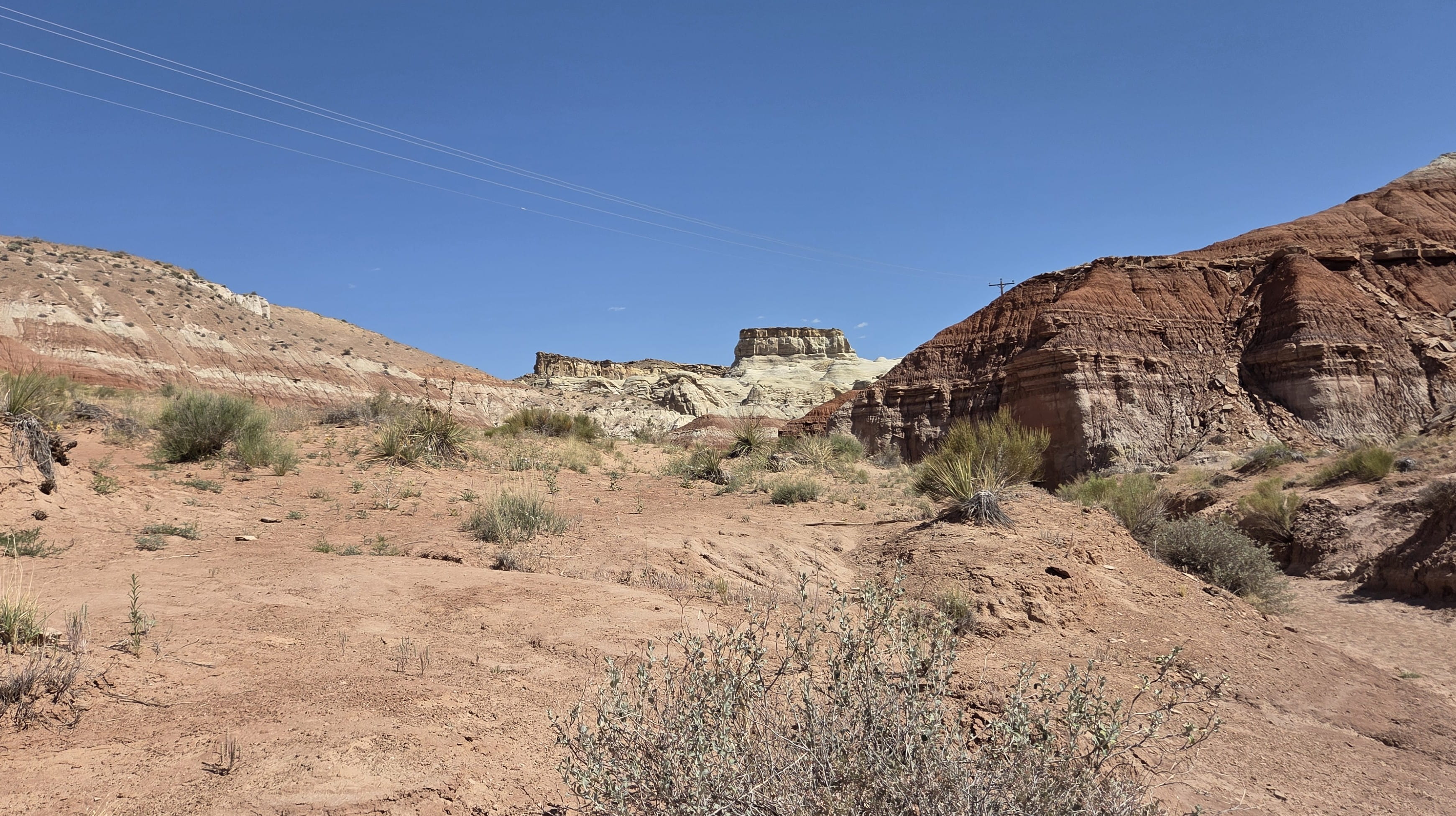
The rock hues here were very different from Vermilion Cliffs’ deep red colors. The rocks near the trailhead were pale yellow with darker brown stripes. We also saw some larger rocks that were pale white.
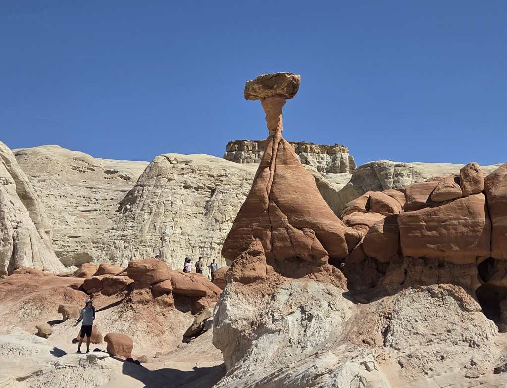
It was about one mile when we finally reached the famed Toadstool Rock. The rock formation was like a very tall mushroom colored bright red. It looked spectacular among the surroundings. We saw many tourists, including lots of children and teenagers, in the area.
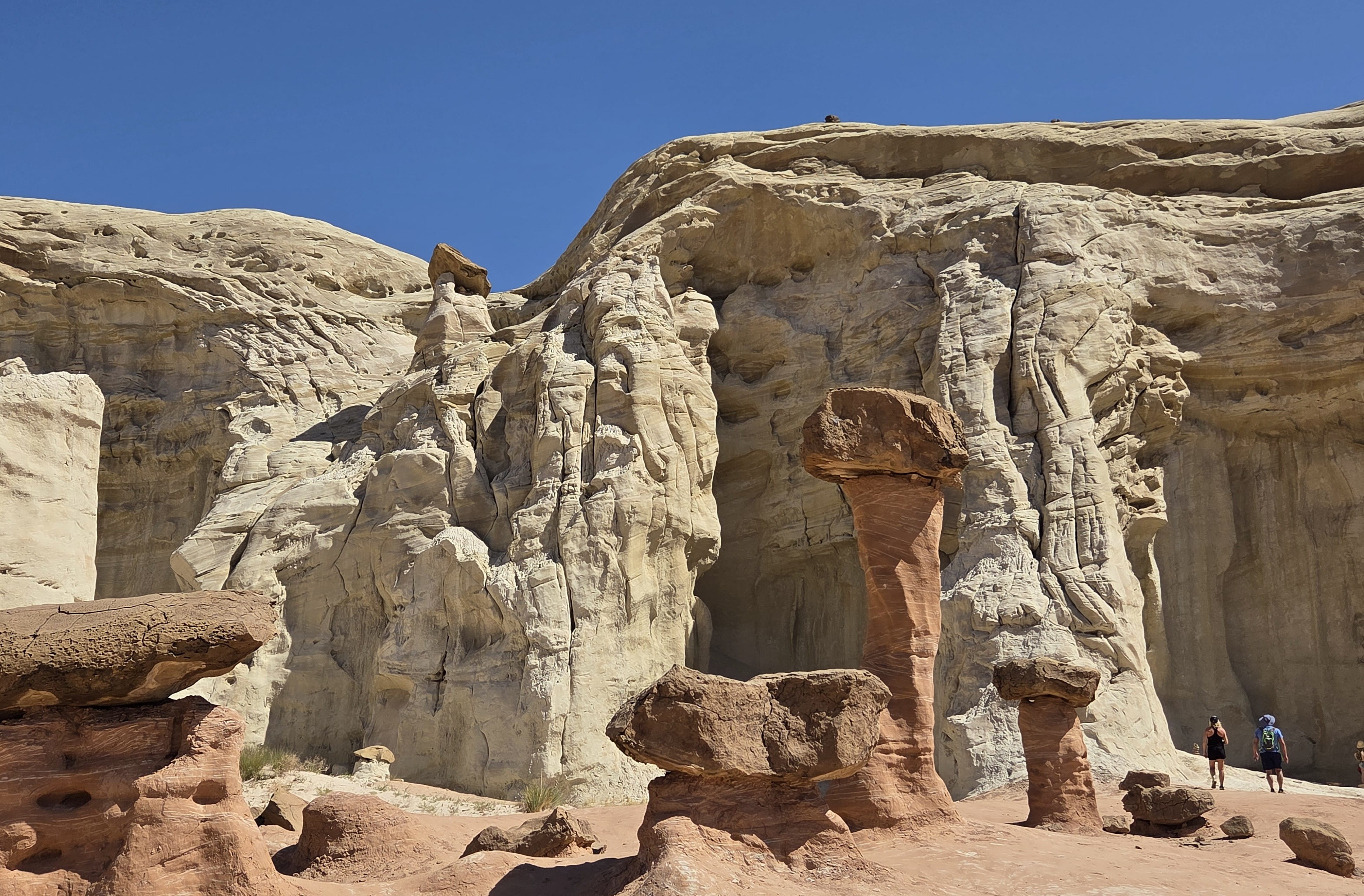
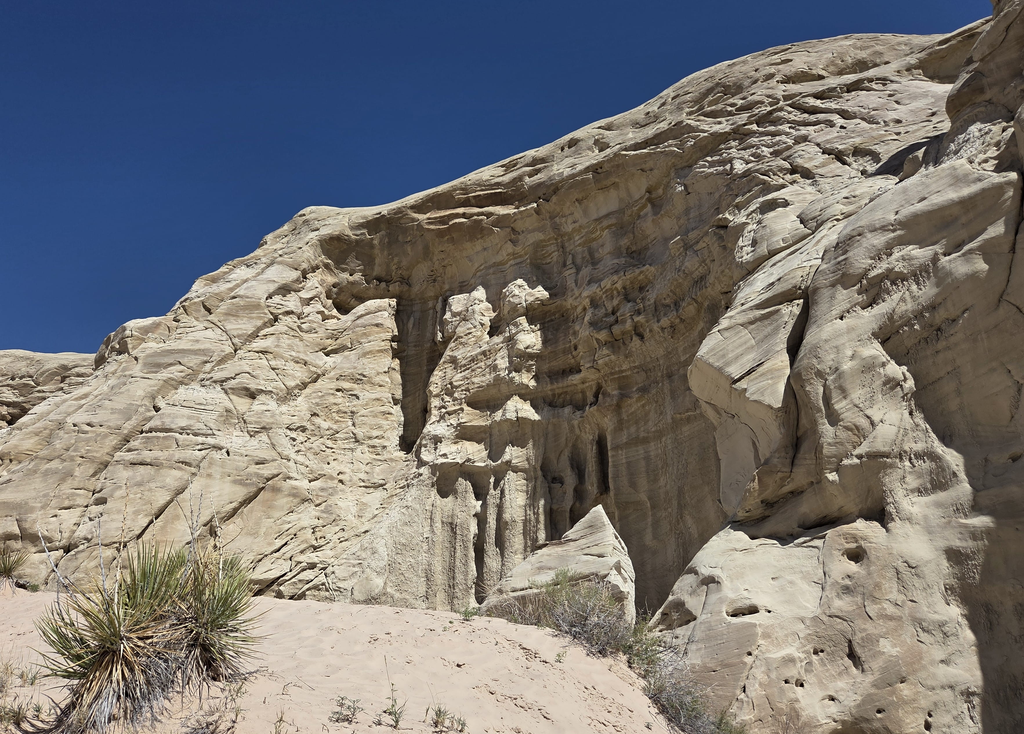
There were also striking white cliffs with other “mushroom rocks” in the area. The entire region is part of Grand Staircase-Escalante National Monument. There’s also a trail leading inland. We saw some hikers walking on the trail, but we didn’t venture further. We spent about one hour here before driving to the next destination.
When we arrived at Pipe Spring National Monument, it was past 11:30am. The helpful ranger informed us that the main house, called Winsor Castle, would be closed soon for a lunch break, and we should head there immediately.
The main house was very large with a big courtyard. It’s a 2-story building with many rooms. We later learned that the owner was a Mormon with multiple wives and children, which explained the size of the house.
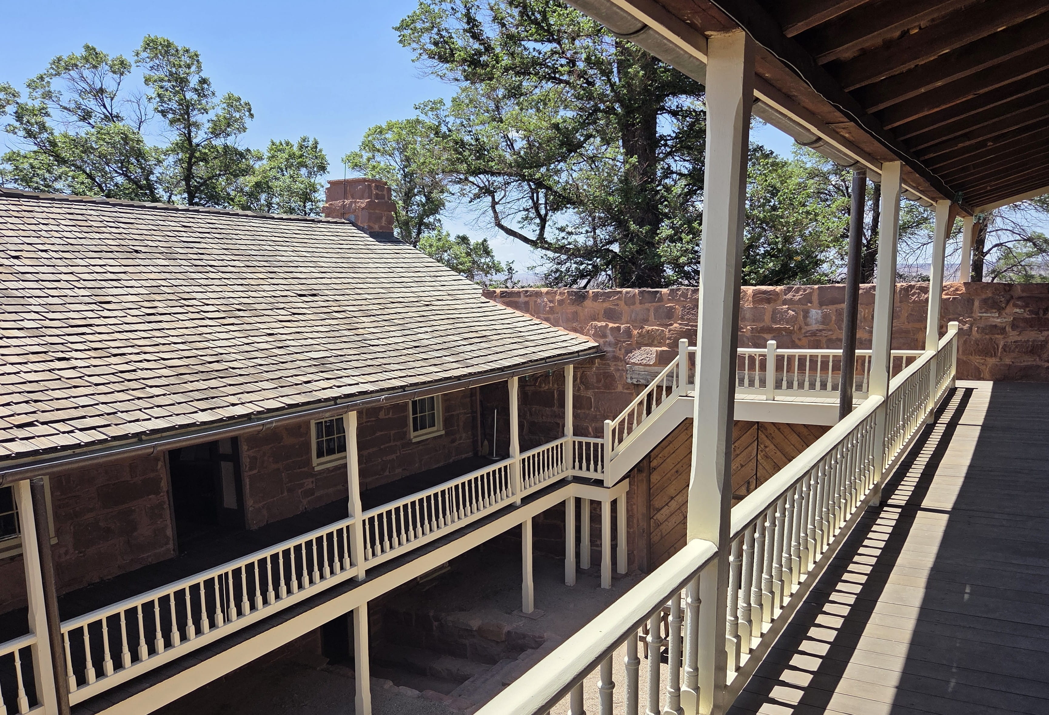
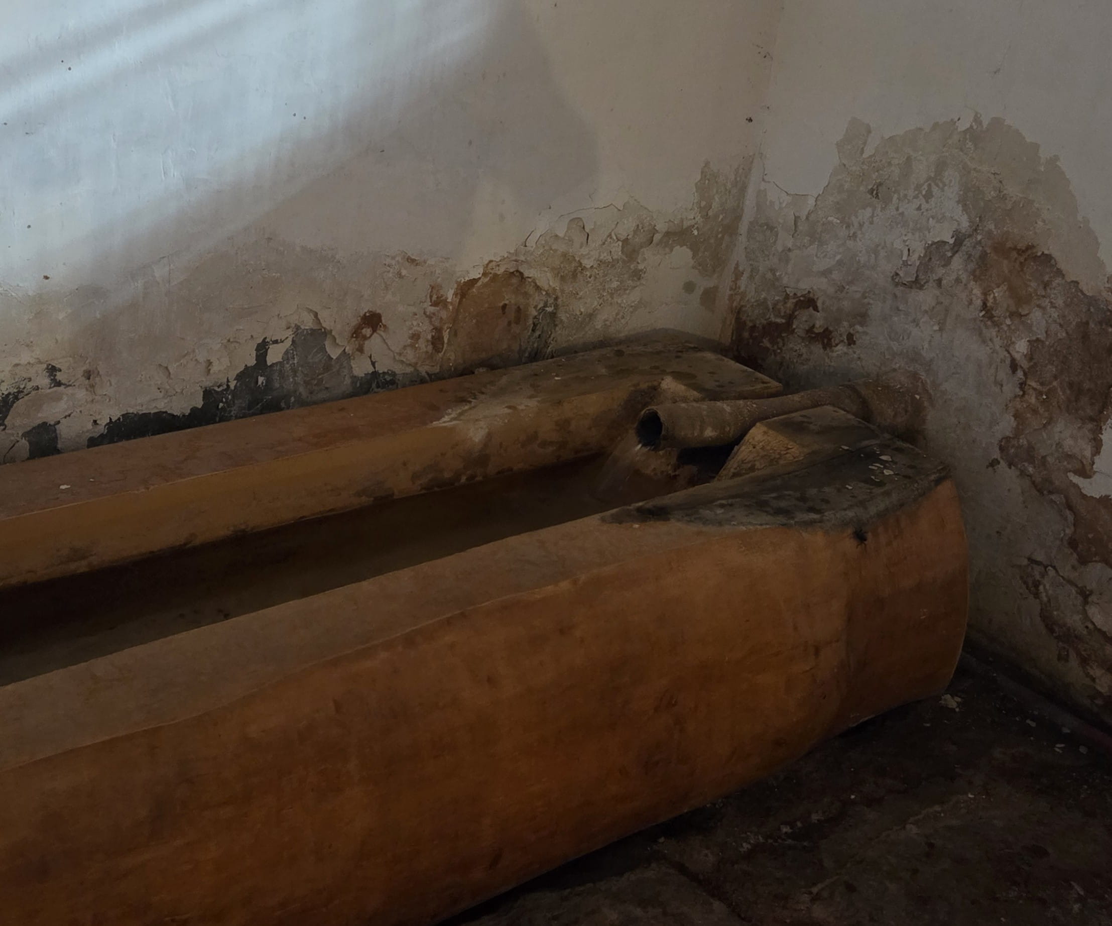
Pipe Spring National Monument was special because there’s spring flowing by. There were also Native Americans living in this area due to the water. Winsor Castle has a pipe with spring water flowing in. It’s so convenient in such an arid area!
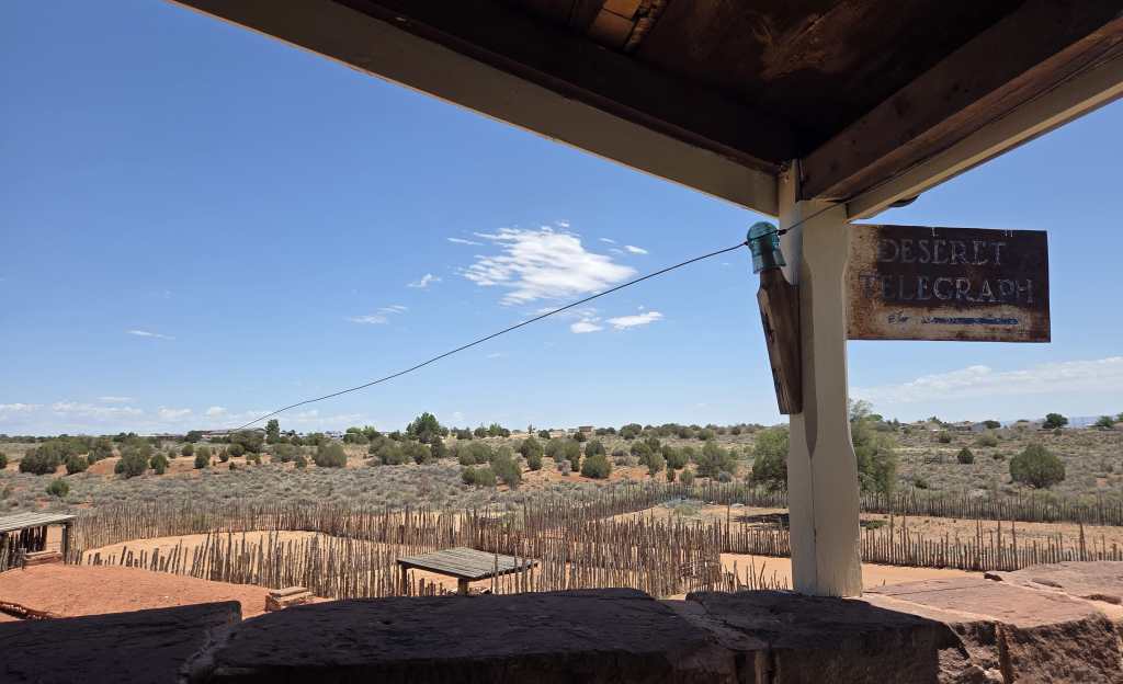
Winsor Castle was also the first telegraph station in Arizona. There’s telegraph equipment in the house, which was very interesting.
The visitor center has many different national park passport stamps to add to our collection. There were enough stamps to cover an entire page!
There’s a shaded picnic area at the back of the visitor center, where Rei and I had our packed lunch.
This ended the sightseeing portion of the trip. We drove to Barstow afterwards, and we’re returning home tomorrow.
Practical Information on Grand Canyon Hikes
The Trails
There are 3 trails connecting canyon rims to the canyon floor.
North Kaibab Trail: This is the only trail connecting the North Rim to the canyon floor. It’s around 14 miles from North Kaibab Trailhead at the North Rim to the Bright Angel Campground near the Colorado River.
South Kaibab Trail: This is a 7-mile steep trail from the South Rim to the Bright Angel Campground via the Black Bridge. The trail was exposed and without water stations. Moreover, the trailhead is far from the Grand Canyon Village or Visitor Center and requires a (free) shuttle ride.
Bright Angel Trail: This is a longer but not as steep trail from the South Rim. It is about 9.5 miles from the trailhead near the Grand Canyon Village to the Bright Angel Campground through the connecting River Trail and the Silver Bridge. It is the favorite South Rim trail because there are a few water stations along the way and it also provides some shades.
The Combinations
North-to-South Rim-to-Rim hike starts from the North Kaibab Trail to the Phantom Ranch and the Bridge Angel Campground. From there, one can connect to either Bright Angel Trail or South Kaibab Trail to reach the South Rim.
South-to-North Rim-to-Rim is the other way around.
There is also a South-only Rim-to-Rim hike that only walks on the Bright Angel Trail and the South Kaibab Trail. The hike does not go to the North Rim, and therefore it does not require a trans-canyon shuttle ride.
There are also crazy hikers or runners doing Rim-to-Rim-to-Rim, either from north or from south.
The Shuttles
Grand Canyon National Park provides free shuttle rides to visitors. It is necessary to use the free shuttles to reach the South Kaibab Trailhead from the village or the visitor center.
Trans-Canyon Shuttle provides paid shuttle services between South Rim lodges and North Rim lodges, and between North Rim lodges and the North Kaibab Trailhead.
The Lodges
Grand Canyon Village at the South Rim has many lodge options. There are also lodges outside of the national park.
A wildfire in 2025 destroyed the Grand Canyon North Rim lodge. The closest lodge is now at Kaibab Lodge (where we stayed). There is also a Jacob Lake Inn further north.
(Click here to find out more about trekking.)
Practical Information on Antelope Canyon
Antelope Canyon is located inside the Navajo Tribal Land and can be visited only by joining a tour by a Navajo travel company. The tours are very popular and are constantly sold out. Therefore, you need to book far in advance, especially if you want to join the noon tour, when the sunlight can reach the canyon bottom.

