8/23 – 8/30/2026
Rei had an Alaska Airlines companion ticket that would expire at the end of the year, so we decided to visit Alaska to collect more national park stamps. This was one of those “spending more money in order to save money” trips.
Alaska has 8 national parks, but only three of them can be reached by cars: Denali National Park, Kenai Fjords National Park, and Wrangell-St. Elias National Park. We would visit these three parks during the trip.
Day 1: Kenai Fjords National Park
We arrived in Anchorage past 10pm last night. It was already close to midnight after we checked into the hotel; therefore, we didn’t do anything else.
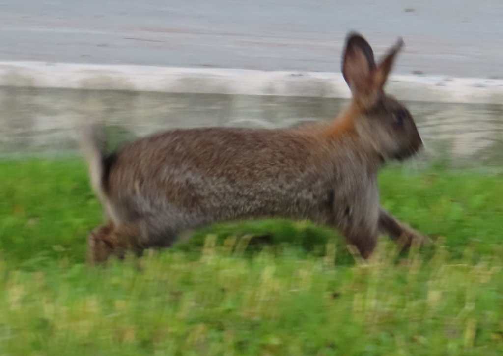
The breakfast was included. When we were eating breakfast, we saw a big hare running outside the hotel! Alaska was indeed in the wilderness!
We’re going to Kenai Fjords National Park today. According to the national park website, parking at Exit Glacier Nature Center was limited, and visitors were advised to arrive before 10:30am. Since we would need to drive about 2.5 hours, we left before 7:30am.
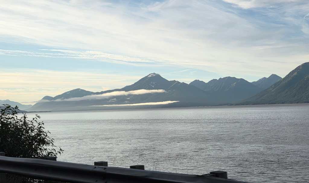
Highway 1 South to Seward was coasting around Cook Inlet. The view was surreal! We didn’t have time for photo stops, so I only took pictures from inside of the car. The entire route was full of viewpoints and trailheads. One could spend weeks in this region hiking different trails!
Then the road turned inland. The hills were verdant with many magenta Fireweed flowers. There were also snowcapped mountains. Some sections of the road were foggy too.
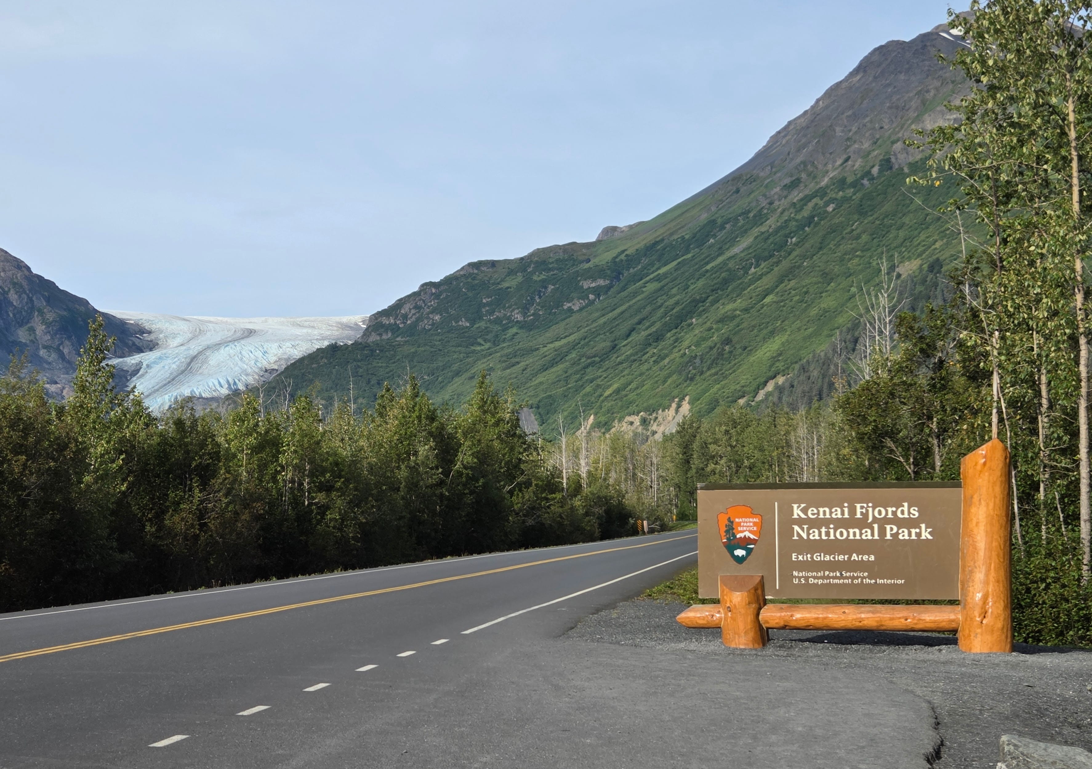
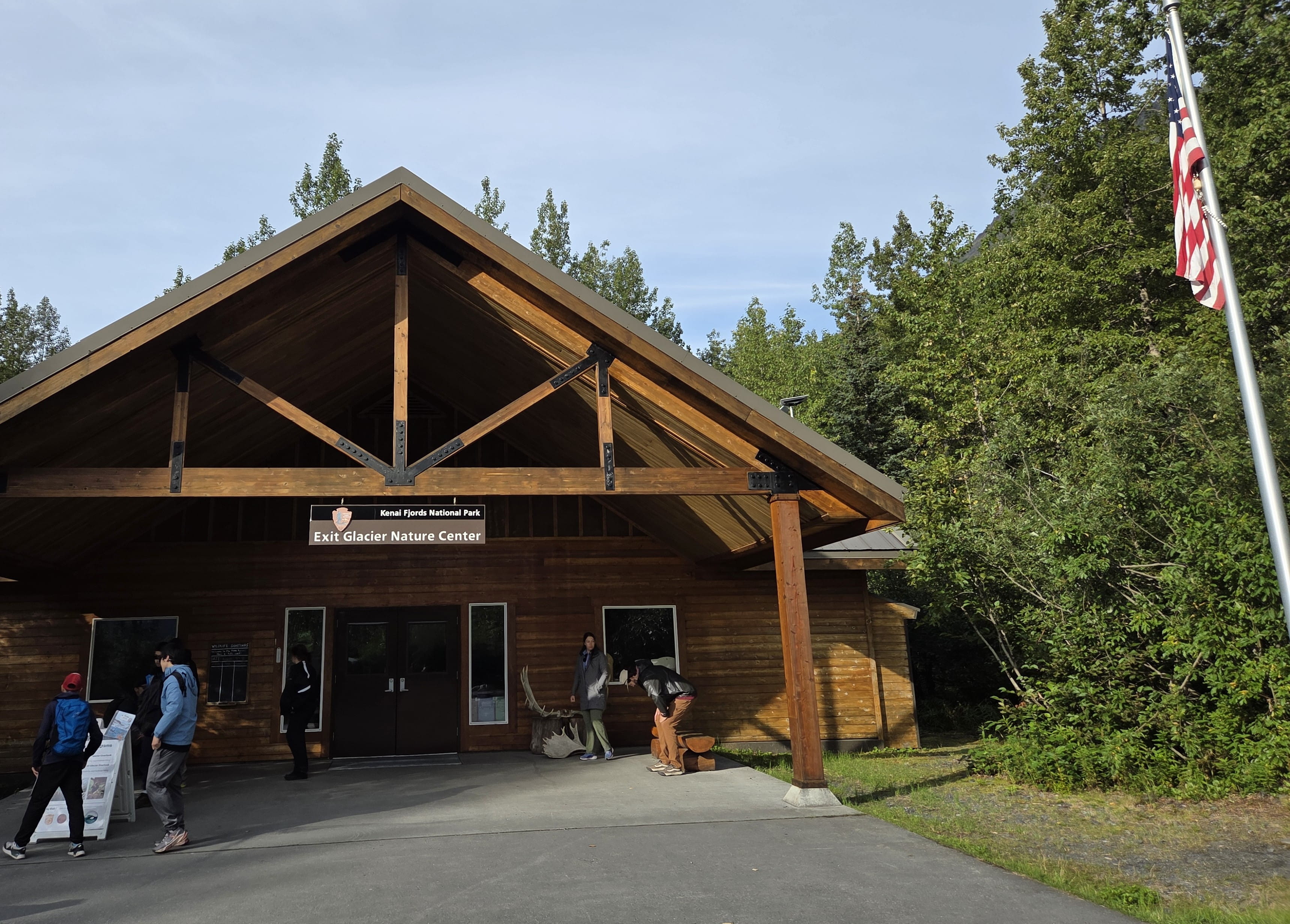
When we arrived at Exit Glacier Nature Center, it was only past 9:30am, but the parking lot was already crowded with cars, buses and RVs. Fortunately, we could still find a parking space.
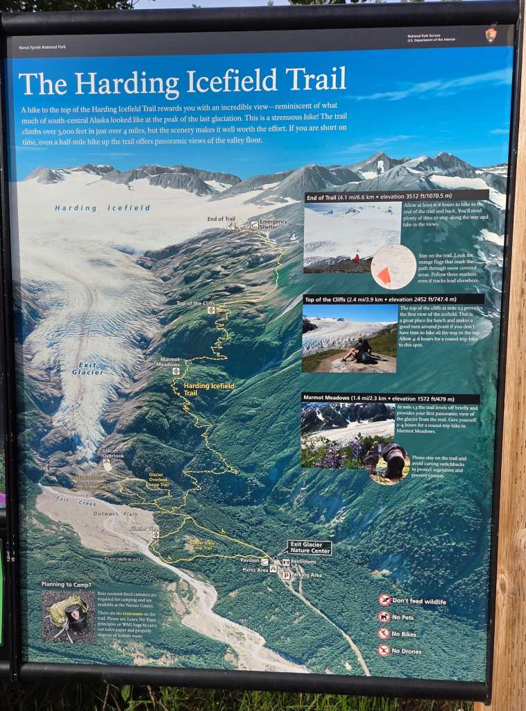
We wanted to hike the Harding Icefield Trail. A ranger warned us that it’s a strenuous 8.2-mile trail with more than 3,000 ft elevation gain. On top of that, we would need to walk additional half a mile to reach the trailhead. Rei and I were experienced hikers, so this would not be a problem. The ranger also advised to bring lots of water. When we asked about the trail condition, he told us that the trail was clear of snow except for the very last section. There were still some patches of snow on the ground, but we wouldn’t need to bring our Yaktrax.
We started to hike around 10am. There were surprisingly many hikers on the route! The first section was partially shaded and with quite some annoying bugs. Rei bought bug spray for the trip, but he forgot to bring it!
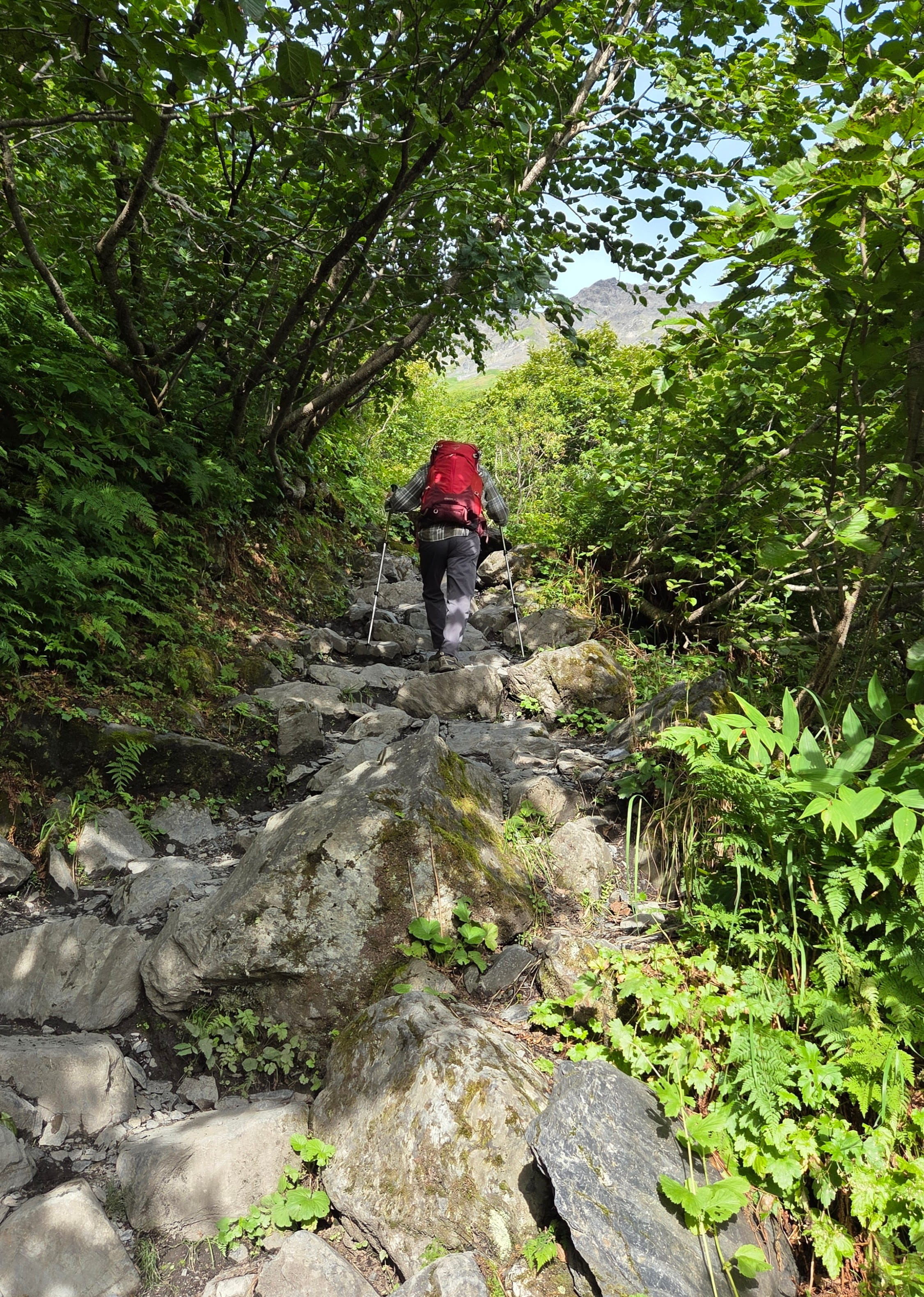
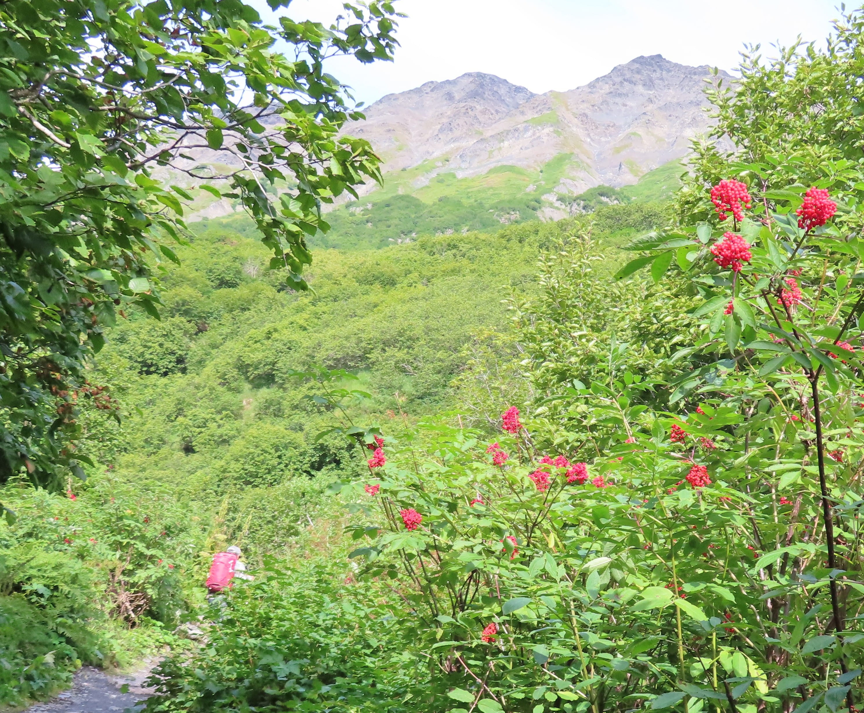
We had to climb on uneven and slippery dirt and rock narrow trails. This was definitely not for novice hikers. However, there were gorgeous views everywhere.
There were already hikers walking down. When asked, they told us that they only reached Marmot Meadows, the first major viewpoint at 1.4 mi from the trailhead.
We reached Marmot Meadows at 11:15am, and planned to take a break there. However, we met a guided group. The guide told us that Marmot Meadows viewpoint was for those hikers who did not plan to climb any higher. If we planned to go higher, we should continue walking to Top of the Cliffs, where the view would be more impressive. However, this would involve another brutal 45-minute hike with 1,000 ft additional elevation gain.
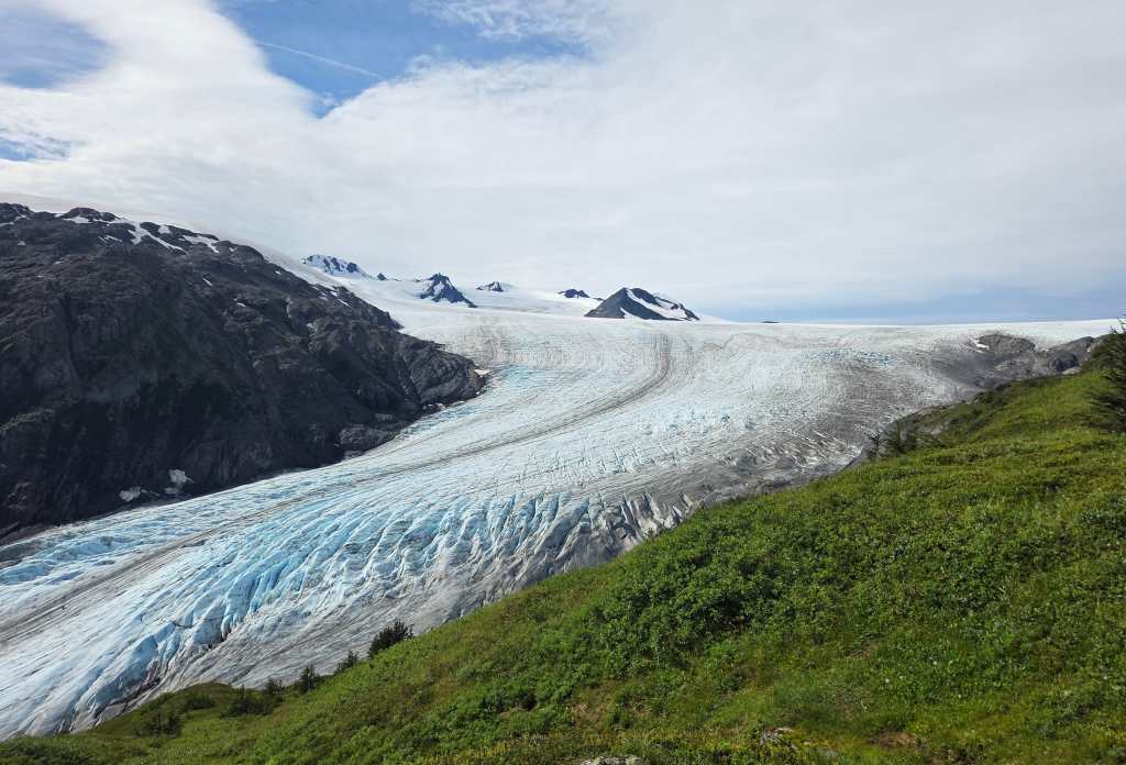
Rei said we should continue walking to arrive at Top of the Cliffs around noon to have our lunch break there. So, we huffed and puffed another 0.8 miles to reach the Top of the Cliffs. The view from the top was indeed splendid. In addition to Exit Glacier, we could also see Harding Icefield on top. We had a 20-minute lunch break there eating scones, energy bars and fruit.
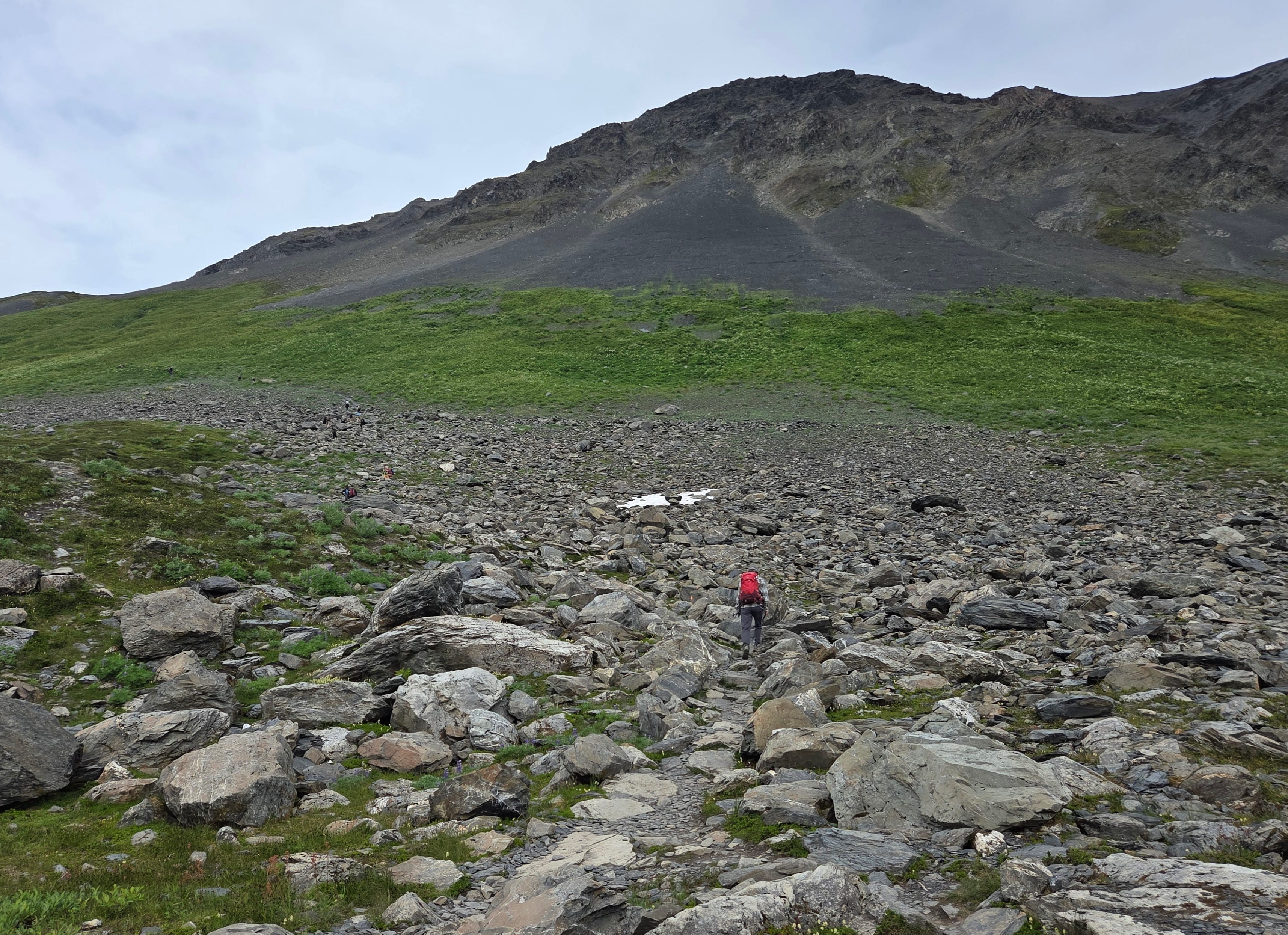
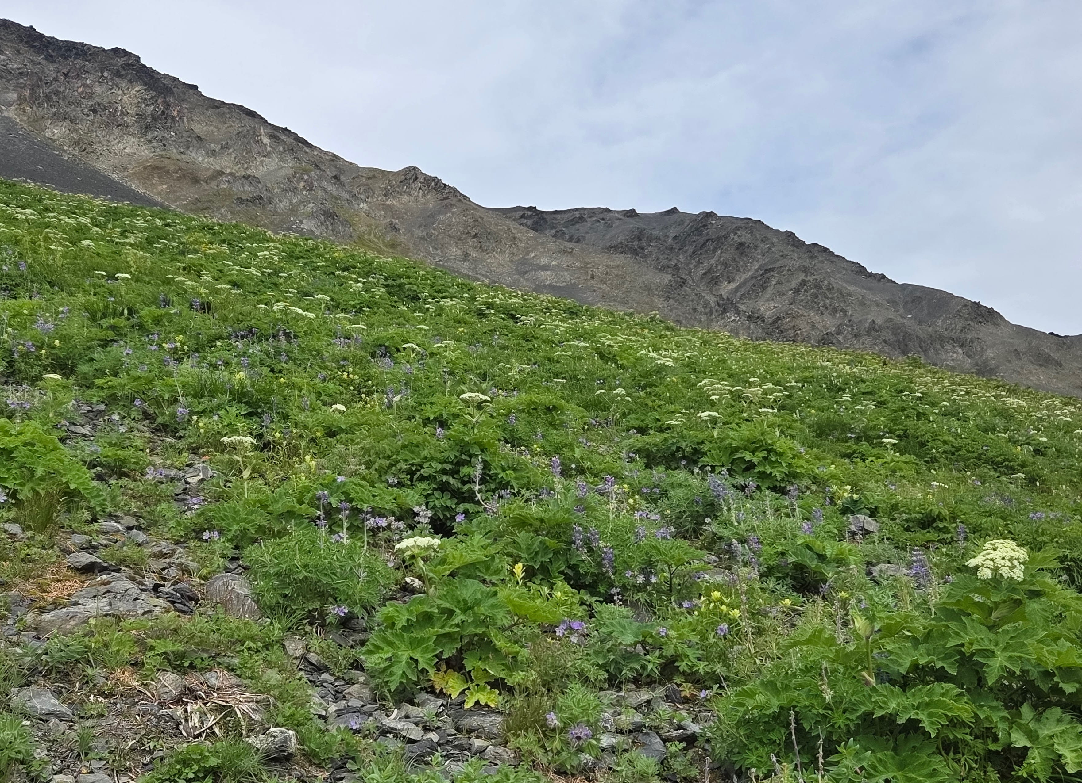
Some hikers wouldn’t climb further up, but we didn’t like doing things by halves, so we restarted the hike after lunch. We had to climb on a steep trail with scree. The hills on the right were carpeted with colorful wildflowers. The left side was the glacier and icefield. There were also snowcapped mountains. A hiker exclaimed that the view was insane here!
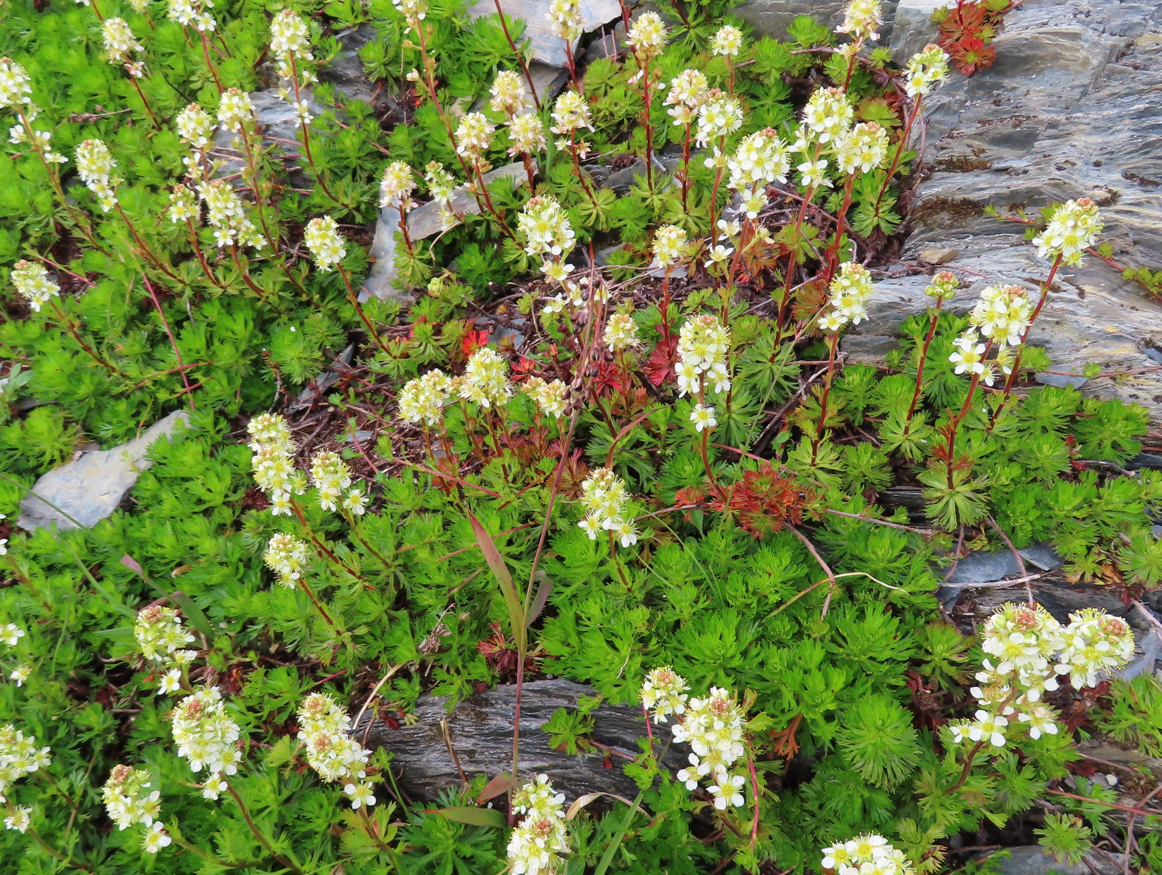
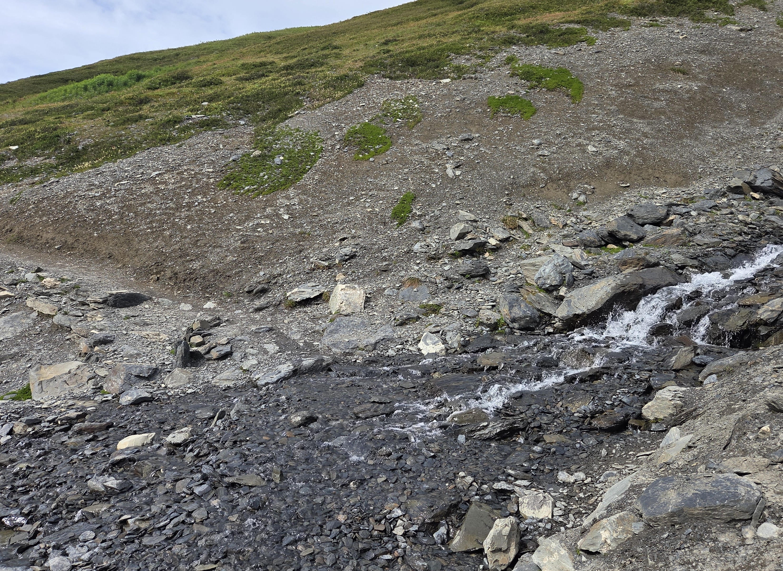
We had to ford shallow water and walk through several patches of snow. However, they were all easy enough.
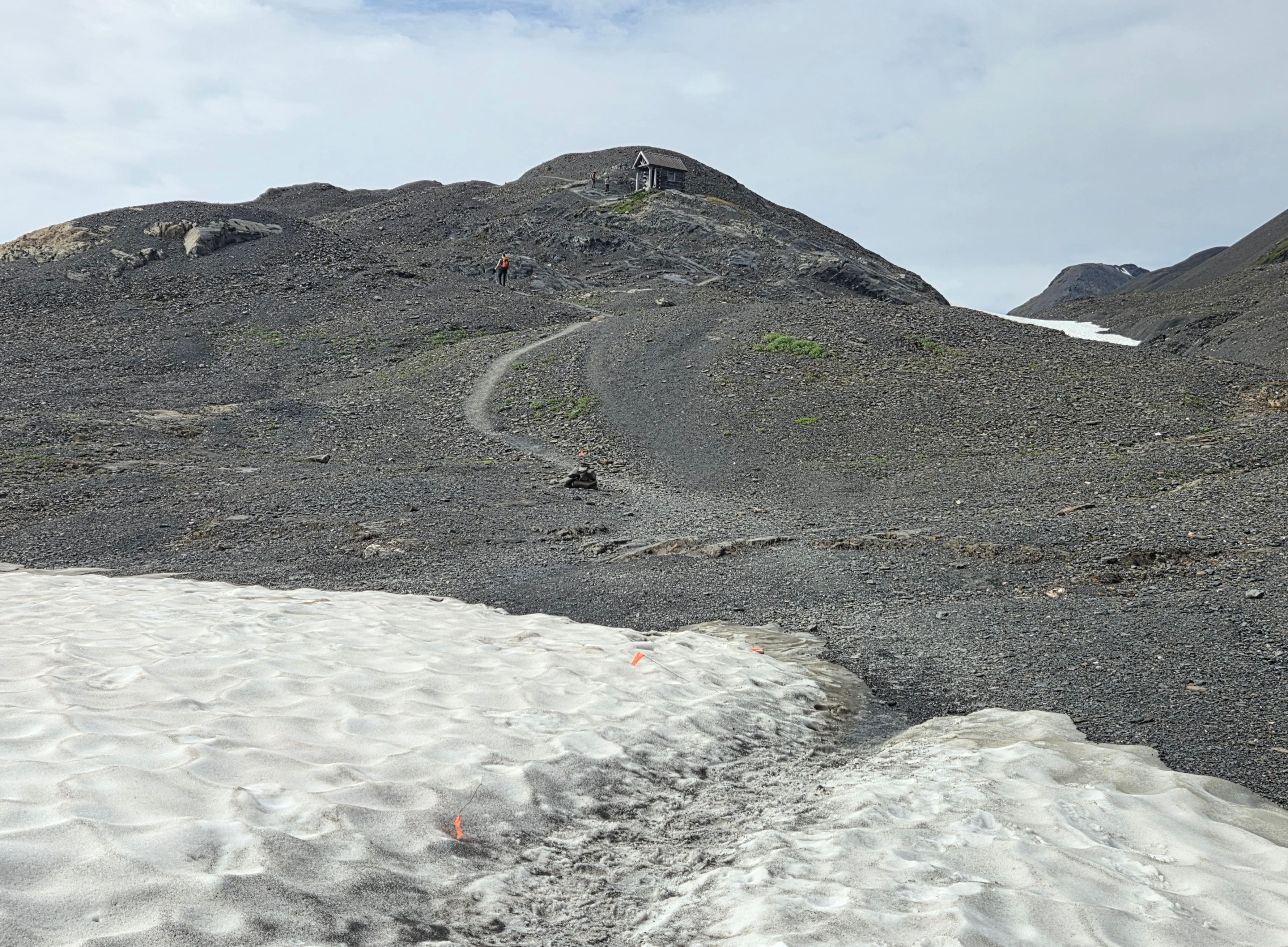
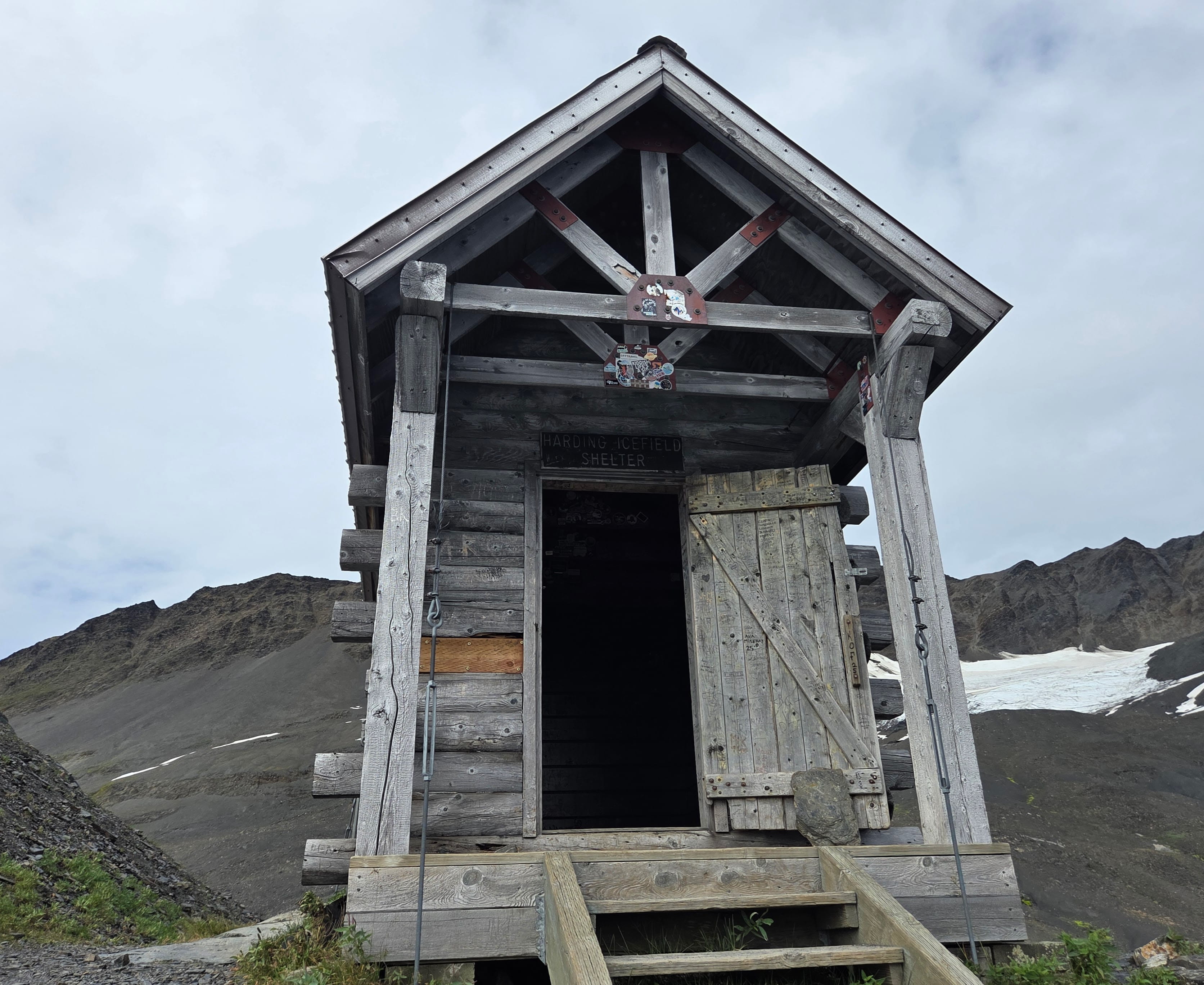
There was an emergency shelter, Harding Icefield Shelter, sitting high on the mountain, very close to the End of Trail. It was a shelter for hikers during inclement weather.
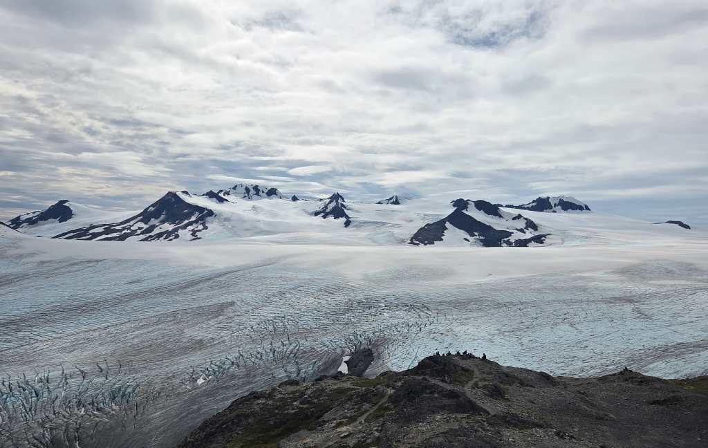
We finally reached the End of Trail around 1:35pm to see the magnificent Harding Icefield. The place was crowded with many hikers. We had our second lunch there and took more photos before going down at 2pm.
Walking down wasn’t easy either. The terrain was hard on knees. However, it’s faster than climbing up. It only took us about an hour to reach the Top of the Cliffs, and another 35 minutes to reach Marmot Meadows. There were still many hikers climbing up. A hiking group asked for our opinion. Rei and I encouraged them to reach the Top of Cliffs to see the icefield. However, there’s no need to reach the end if they are tired or run out of time.
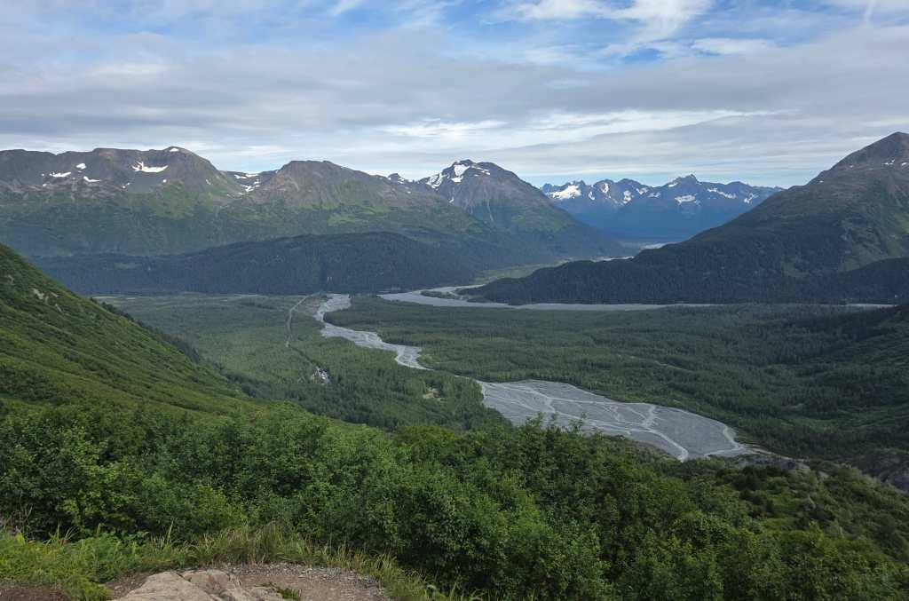
After further down, I could see the parking lot, but it was still very far away. The parking lot didn’t seem closer after another 15 minutes of hike, so it was very frustrating!
We finally returned to the trailhead past 4:30pm. Hence, it was a 6.5- hour hike with 2 lunch breaks. It was almost 5pm when we were leaving the national park.
On our way back to Anchorage, a light rain started. We were glad that it didn’t rain while we were hiking.
We were exhausted, so we simply ordered a to-go pizza for dinner. (Fortunately, this would be the only difficult hike of the trip.) At least, the pizza was delicious.
Day 2: Matanuska Glacier, Wrangell-St. Elias
This morning we checked out to drive to Wrangell-St. Elias National Park, which was about 3.5 hours away. There was a light rain.
Since the national park is in a remote area, we first stopped by a supermarket to stock up food and water. Then we drove to Costco gas station to fill up the tank. It was already past 10am when we were on the road.
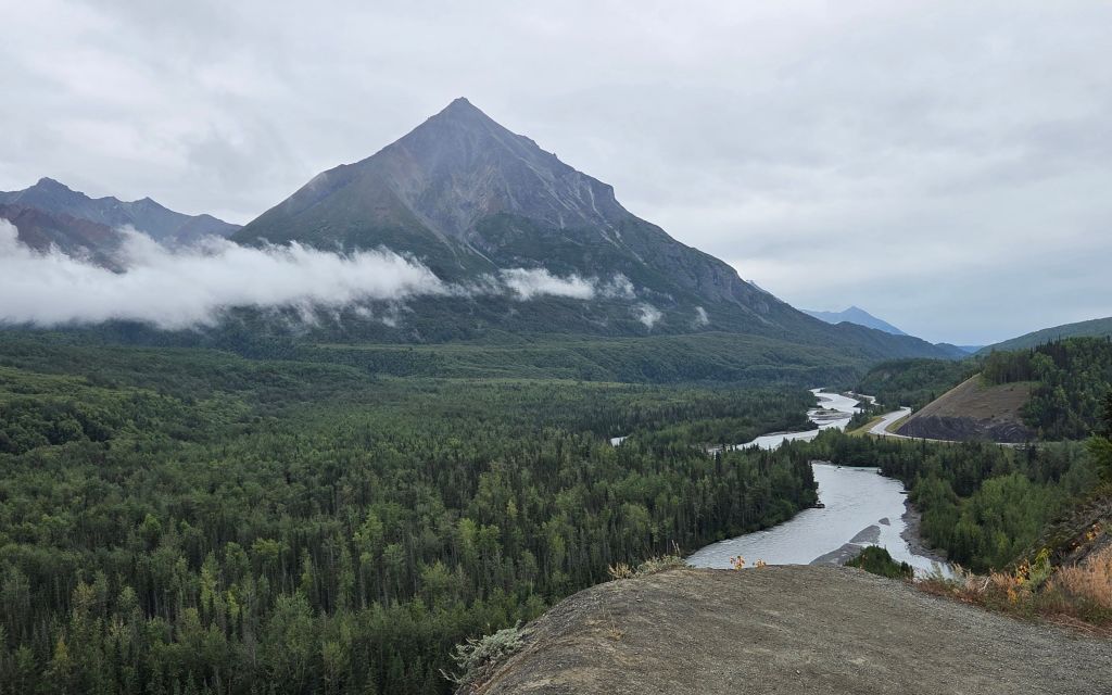
We were driving on Highway 1 again, but on the opposite direction of yesterday’s trip. Though the views were different, they were still very scenic. This route also had many viewpoints and hiking trailheads.
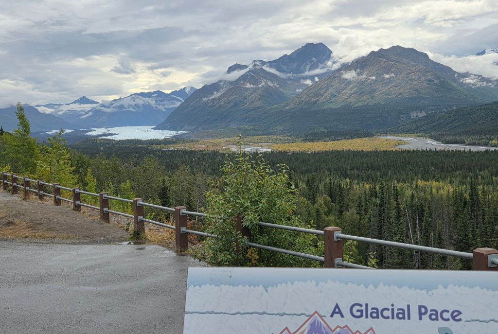
This would be a very long drive, and we needed to find a place for a lunch break. The wifi connection was spotty, but I finally found Matanuska Glacier State Recreation Site along the road. There were only 2 other cars in the parking lot. It took Rei a while to figure out how to pay the $7 entrance fee. The site had pit toilets and picnic tables. Most importantly, it had a spectacular view of the Matanuska Glacier!
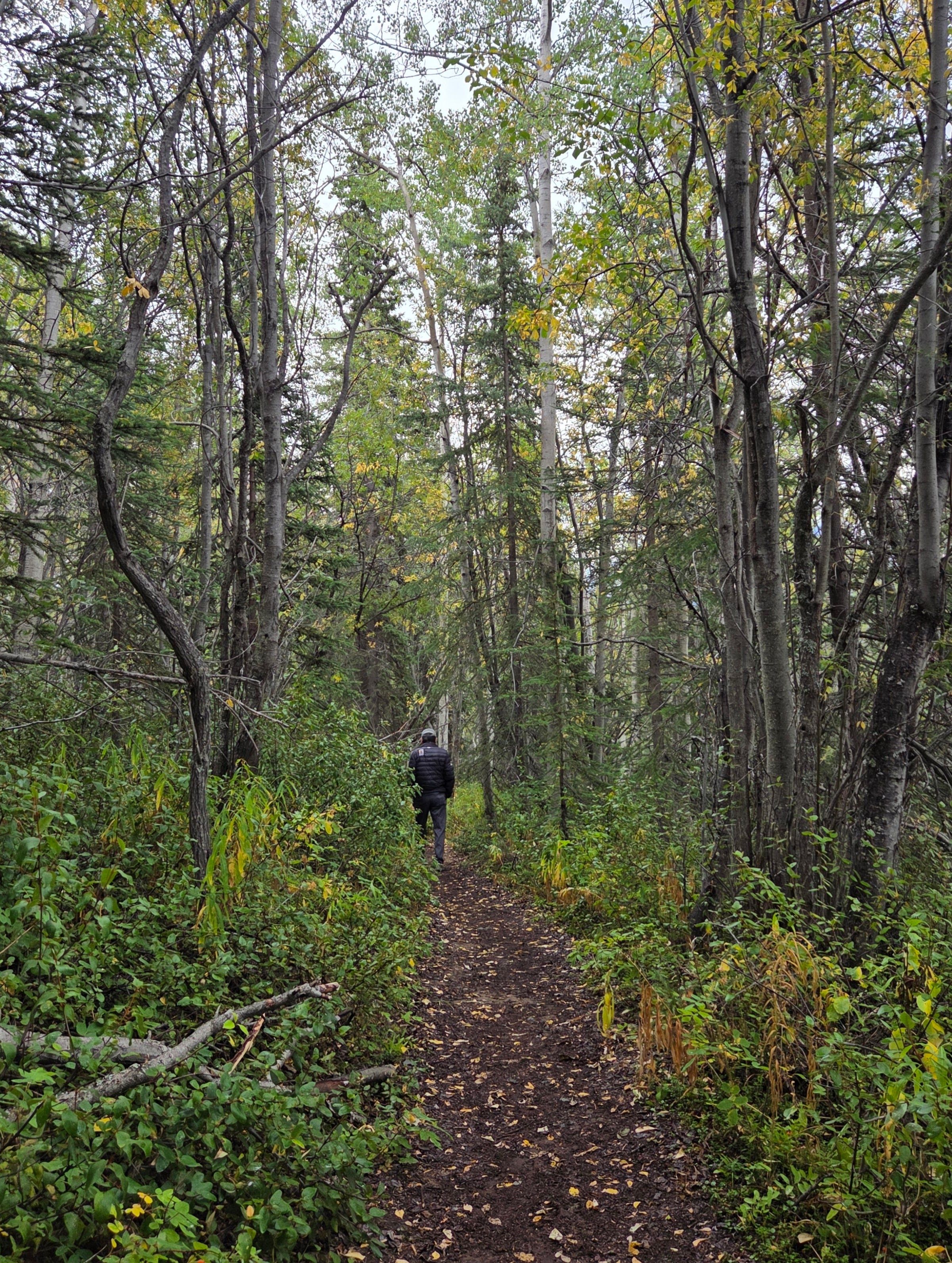
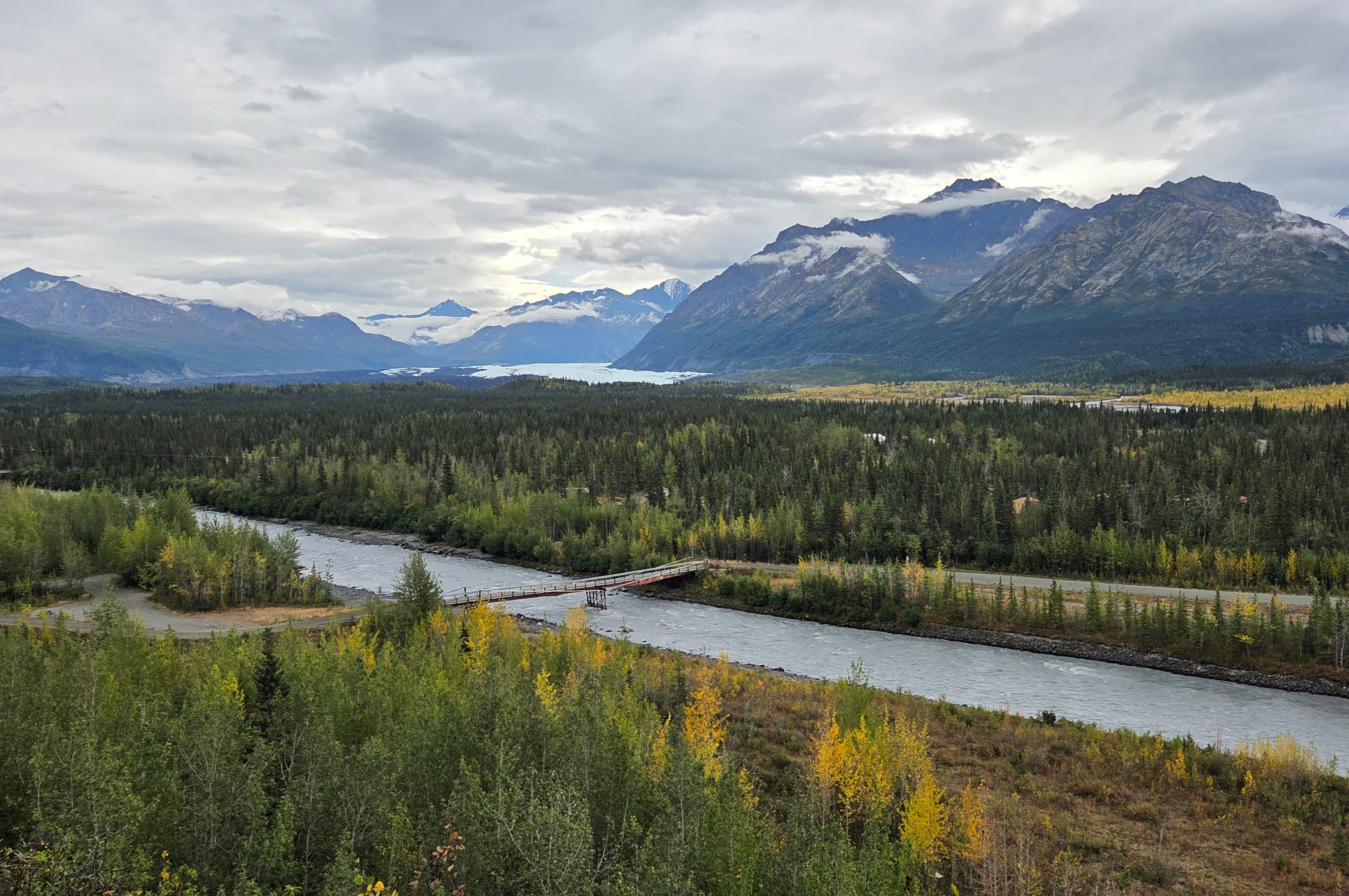
The sky was overcast, but it didn’t rain. After our picnic lunch, Rei and I walked the one-mile loop trail starting from the parking lot. The trail went through a forest and had many lookout places for the glacier viewing. There were many small birds flying inside the forest. It was dark, and the birds moved too fast for me to take any photos.
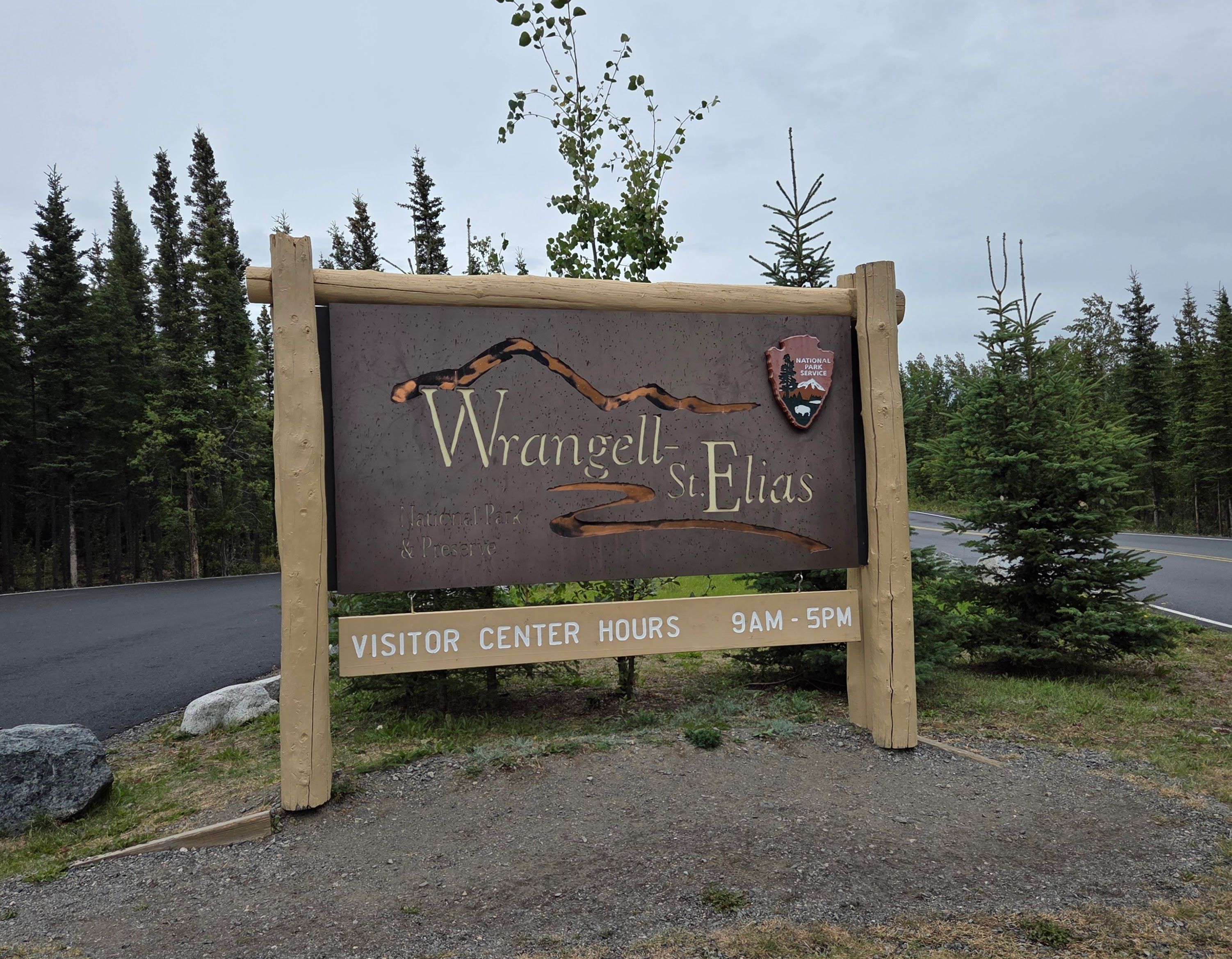
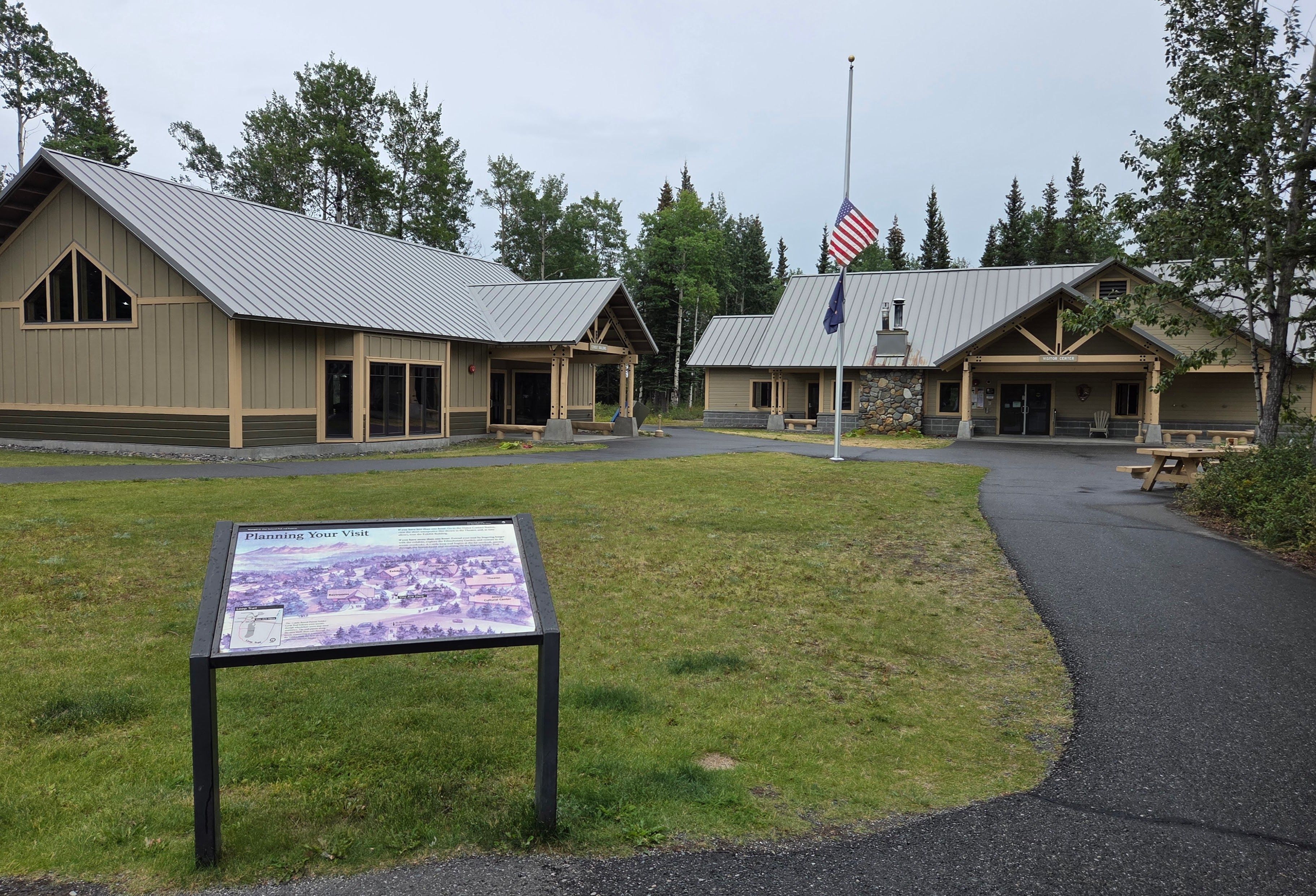
We still needed to drive a long way to reach Wrangell-St. Elias NP. It was already past 3pm when we arrived. It was raining by the time. Rei thought we would be the only crazy people at the visitor center, but we saw a number of cars at the parking lot, including a Princess Cruise tour bus!
We entered the visitor center to collect national park stamps. A ranger at the front desk informed us that we were just in time to watch the 3:30pm film. We learned that Wrangell-St. Elias was the largest U.S. national park — it’s 6 times the size of Yellowstone NP! This park has many impressive geographic features and wild animals. However, it’s in a remote area, and most locations couldn’t be reached by cars.
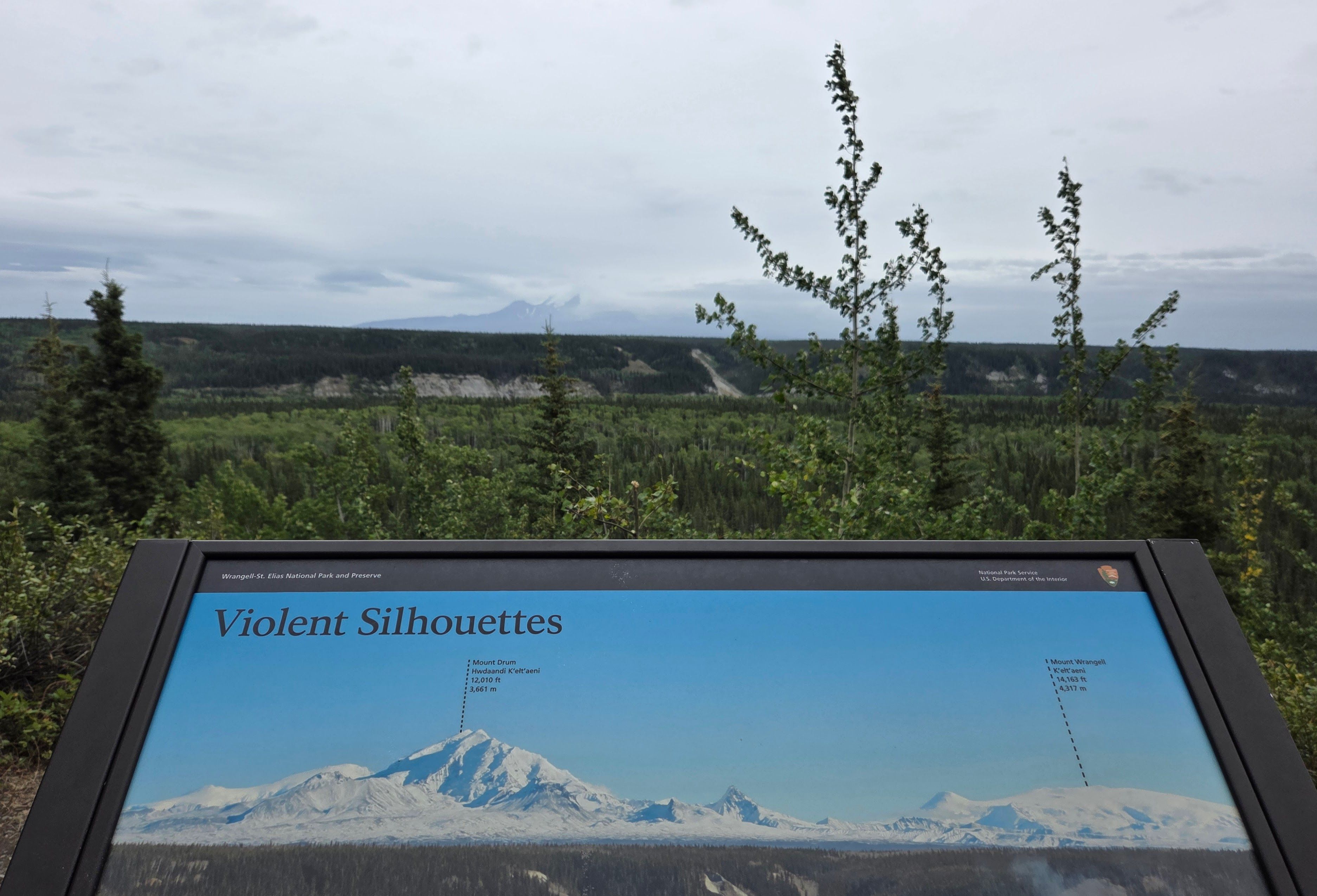
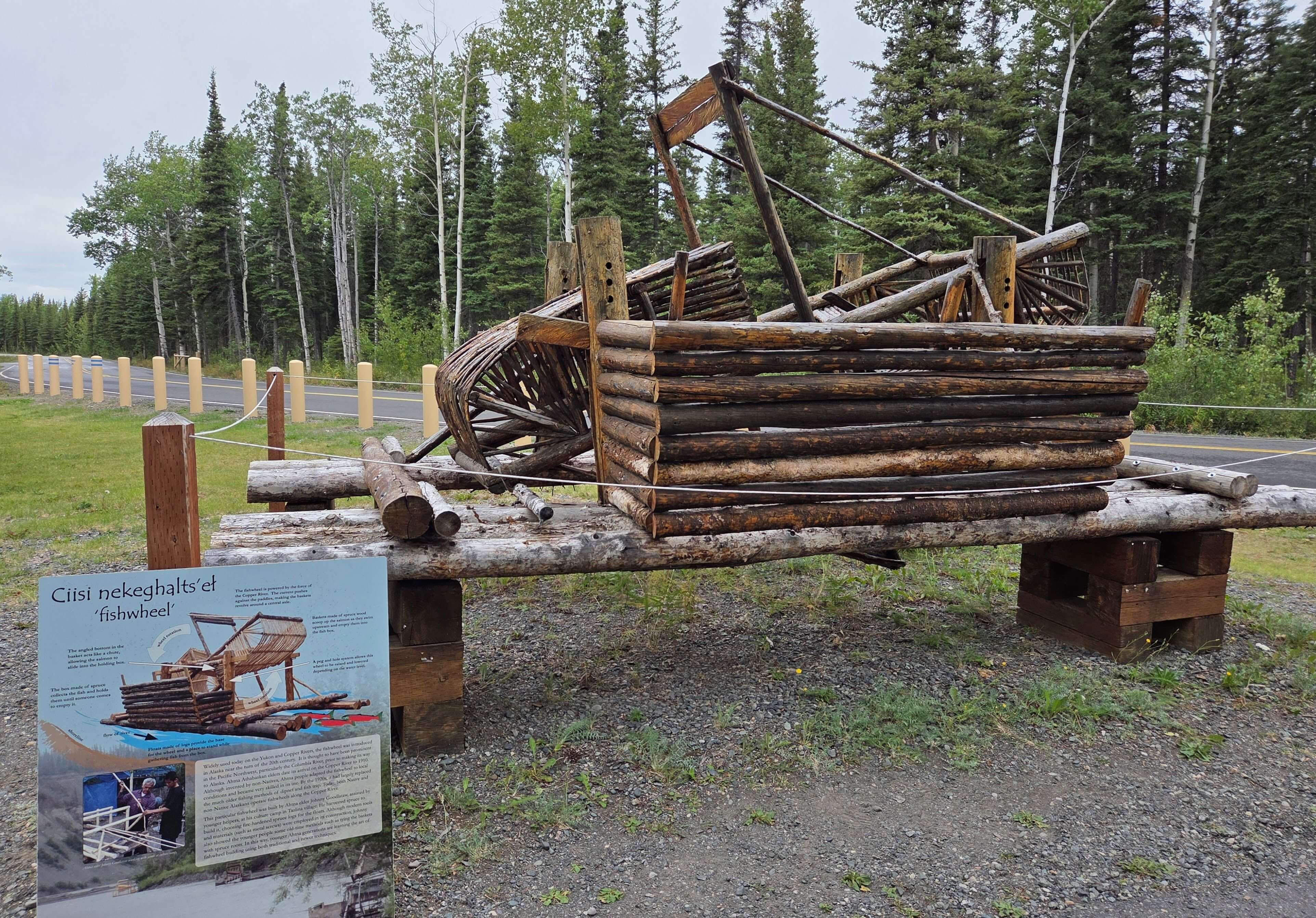
Afterwards, we went to the visitor center stores to buy 2 magnets for Cutie, and Rei bought another national park patch. We walked around to take some pictures before leaving. We would have an entire day tomorrow to explore more. Besides, we would have good weather tomorrow.
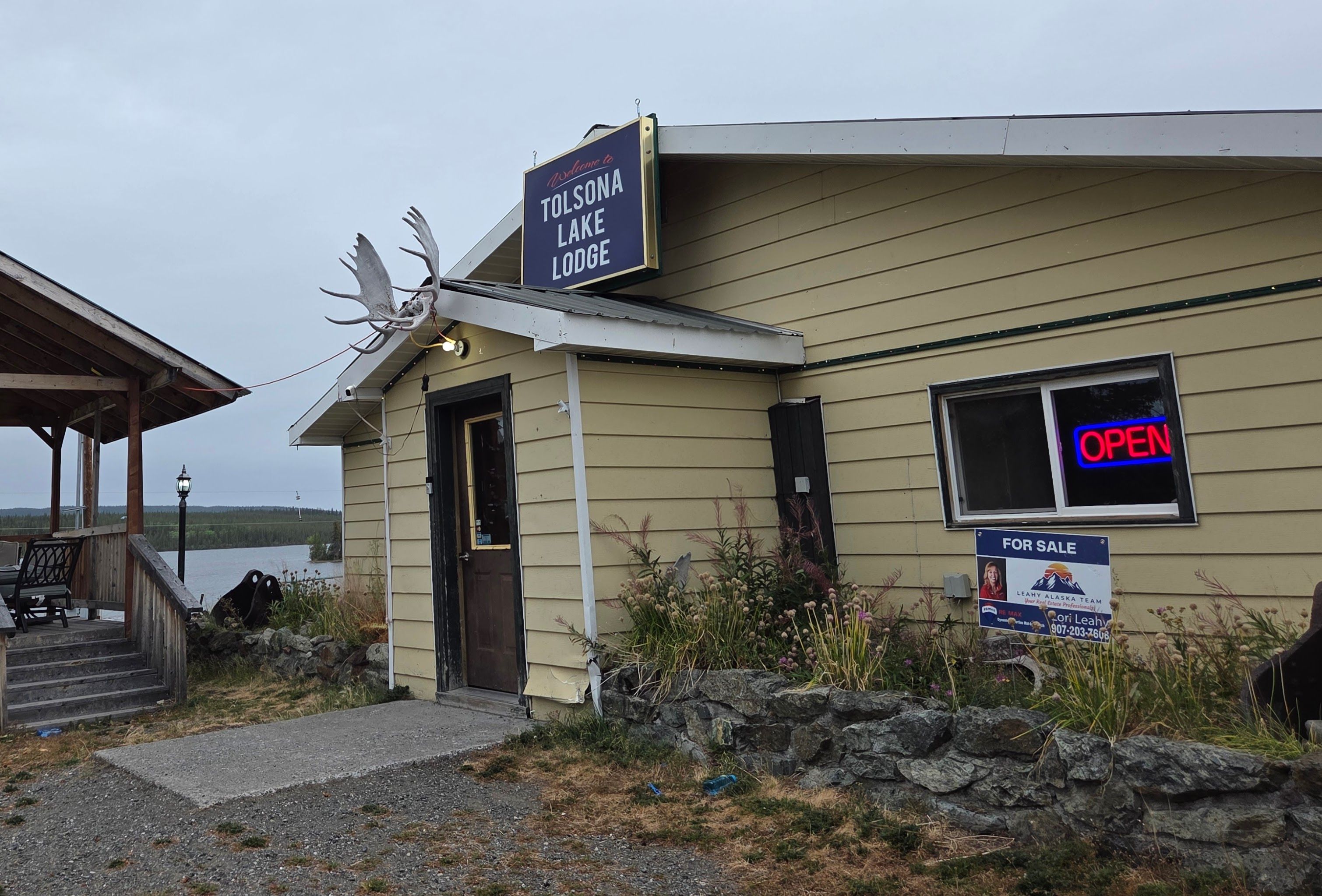
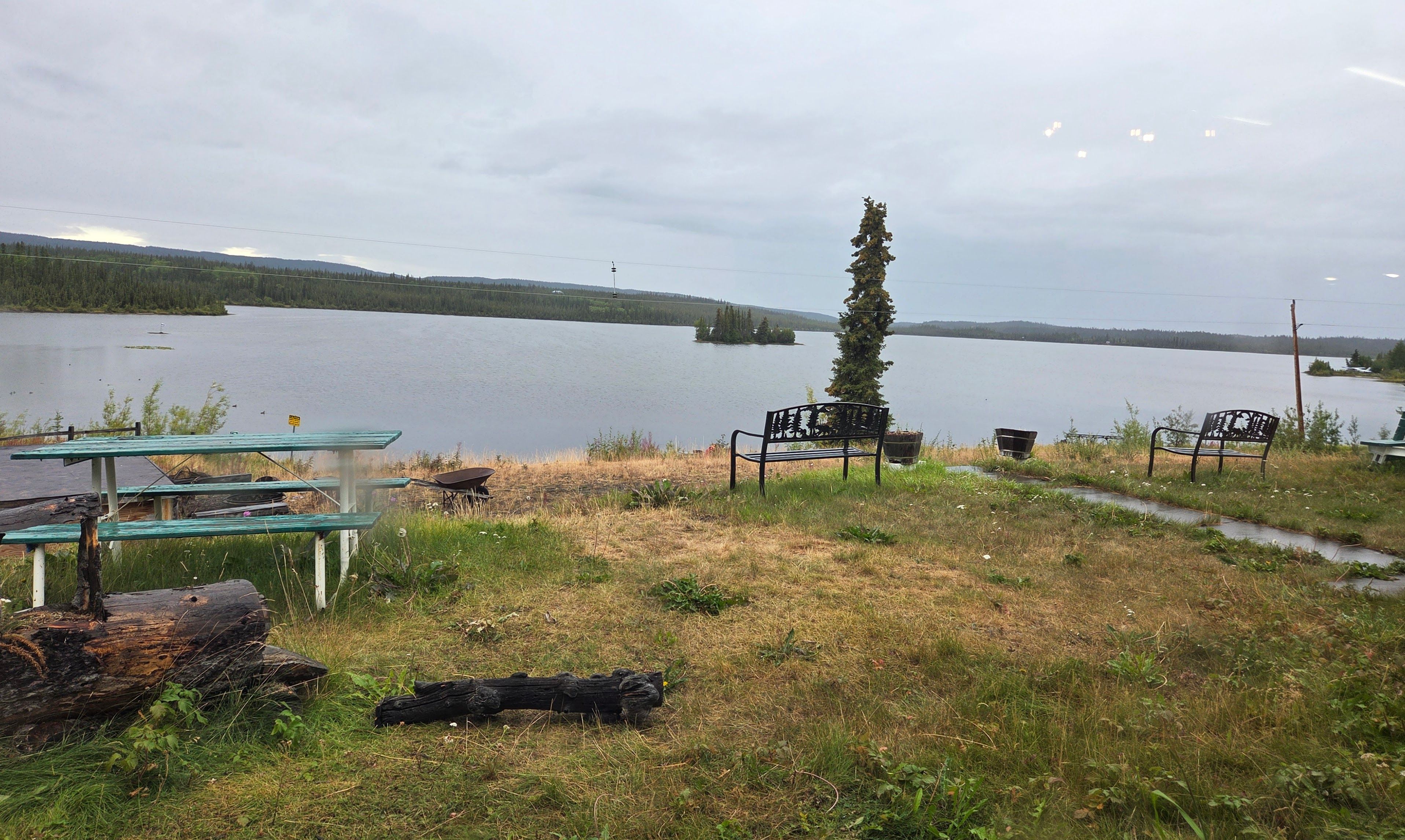
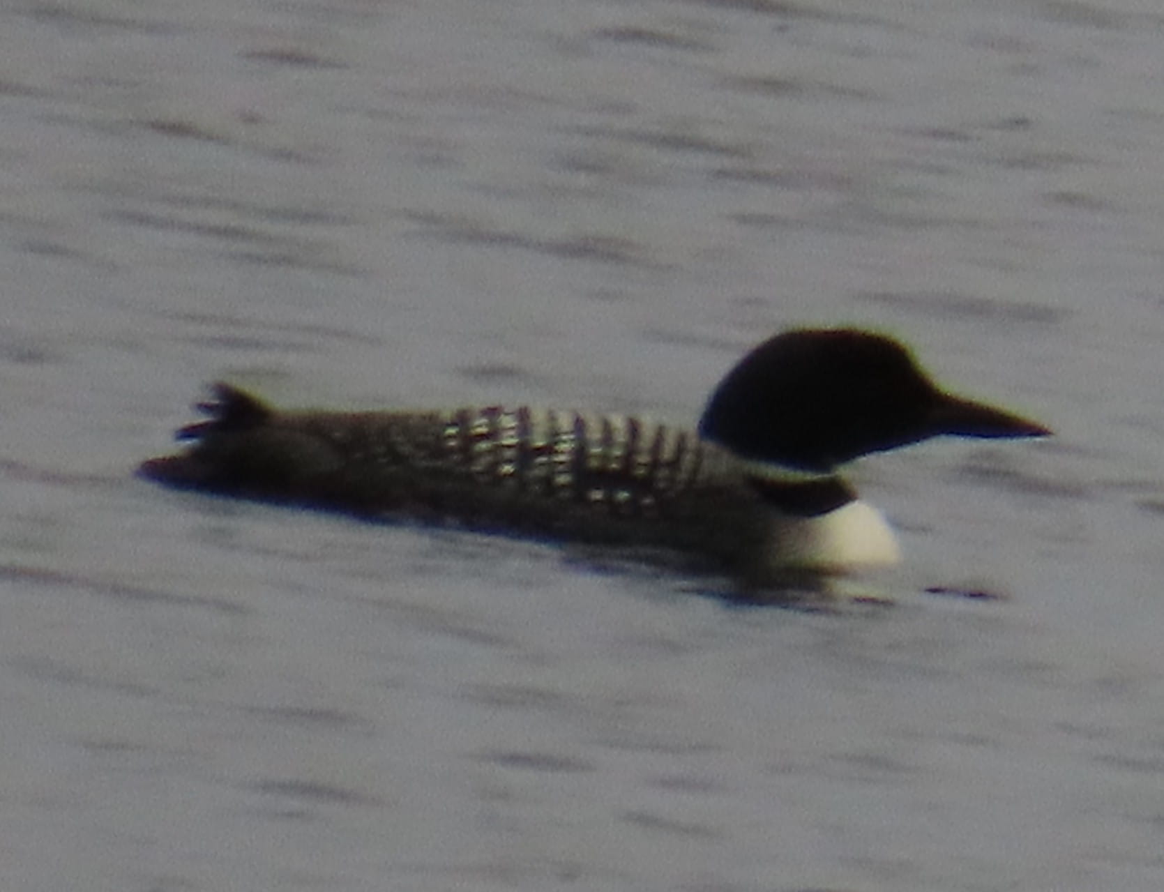
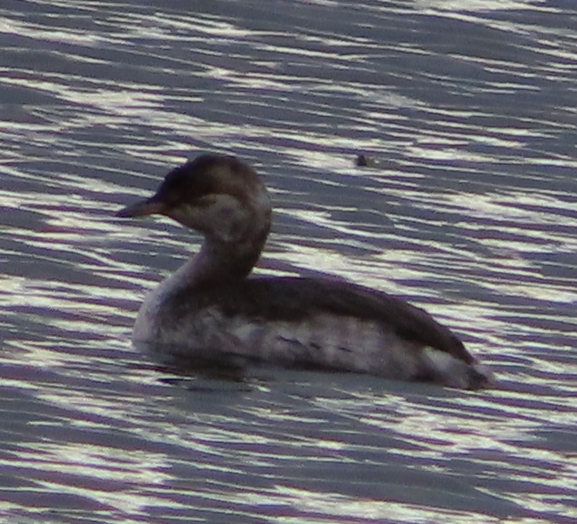
Tonight’s lodge, Tolsona Lake Lodge, was 30 minutes away from the visitor center. The lodge was right by the photogenic Tolsona Lake. I saw some beautiful Common Loons and Horned Grebes on the lake.
Since we were at a remote area, we had dinner at the lodge.
Day 3: Kennecott, Wrangell-St. Elias NP
We had several sightseeing options today. Since it didn’t rain, Rei decided that we should drive to Kennecott inside Wrangell-St. Elias National Park.
This would be a very long drive, especially that the last 60 miles to reach Kennecott was on an unpaved road. I made sandwiches, and we stopped by a gas station to pump more gas in preparation for the long drive.
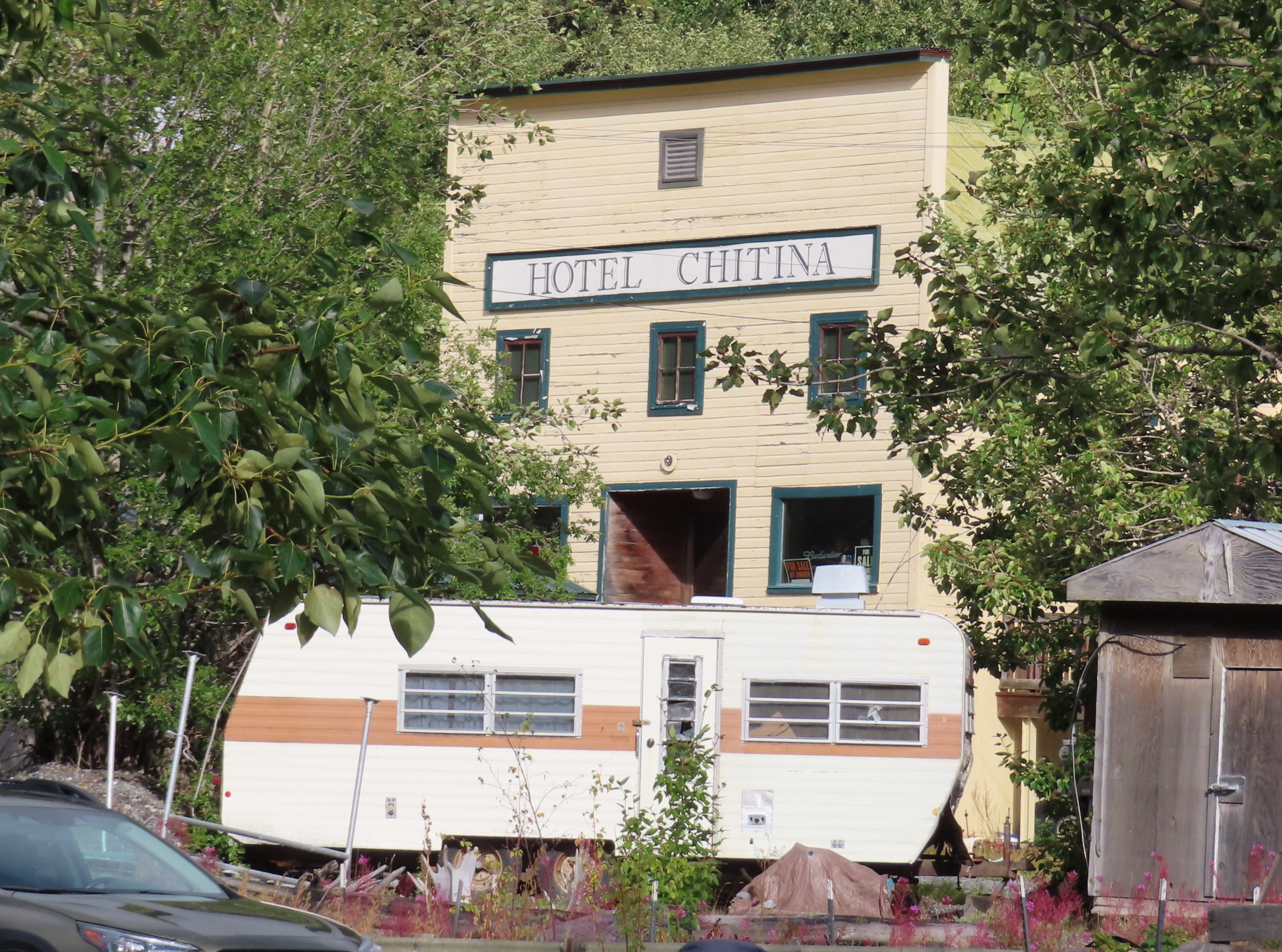
Even though it didn’t rain, the sky was very cloudy. We drove on Highway 1 before turning to Highway 4 South and then Highway 10 to reach Chitina. We were surprised to find that Chitina had a small hotel, and there was a tour bus in front of the hotel!
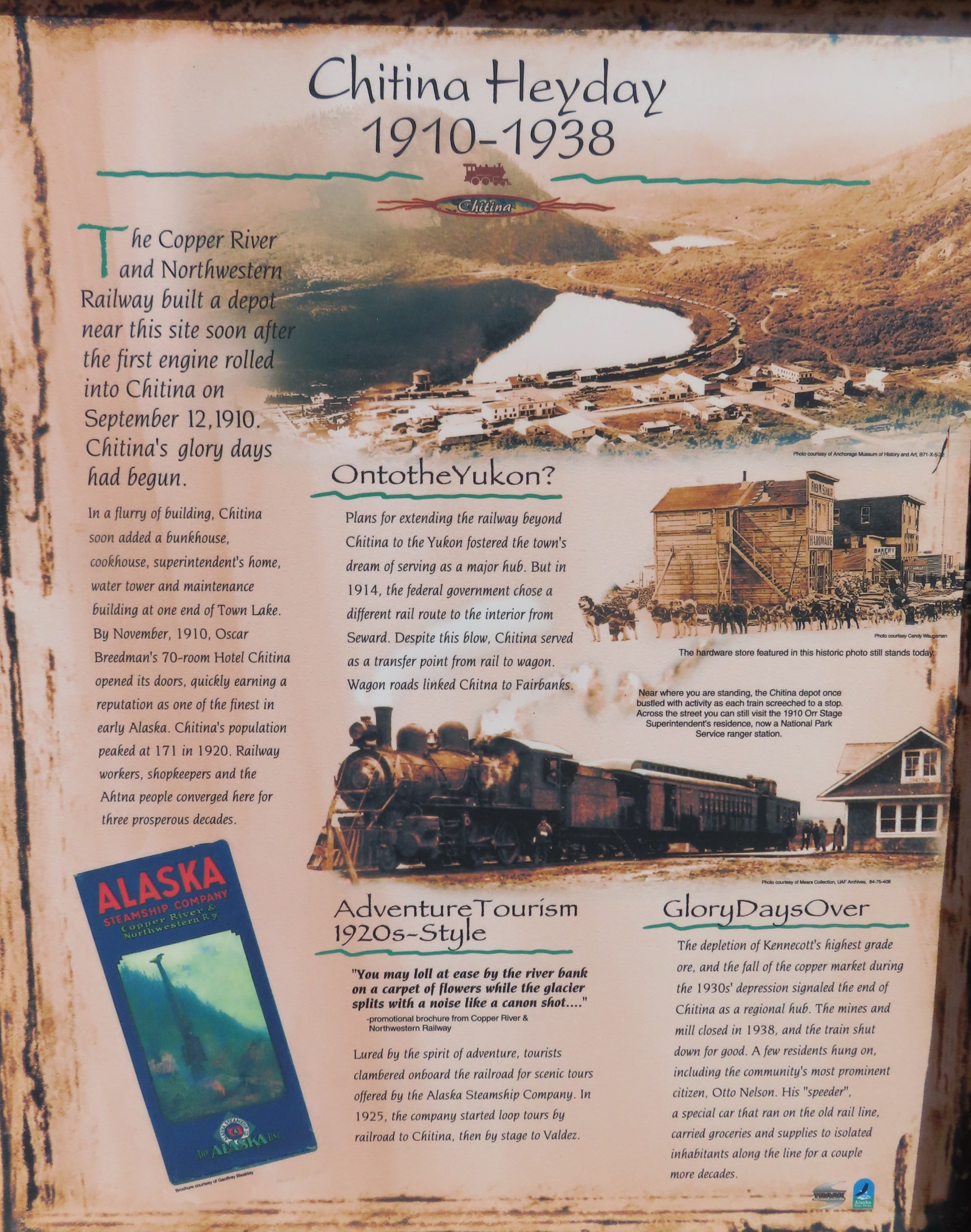
The ranger station in Chitina was closed. However, we learned from the wayside information boards that Chitina was once a thriving town and popular tourist destination. The area still attracted adventure tourists nowadays.
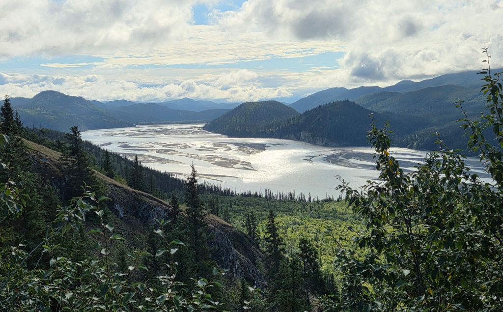
Chitina was at the end of the pave road. The next section, McCarthy Road, was unpaved. There was a very narrow entrance, followed by a dirt and gravel road. Then we were surprised to find out that the “unpaved” road was partially paved, and it wasn’t too bumpy. When we drove past the Copper River Bridge, Rei saw two fishwheels by the river, but I couldn’t see them from my side. Later, Rei made a stop by the roadside for me to take some pictures of valley views.
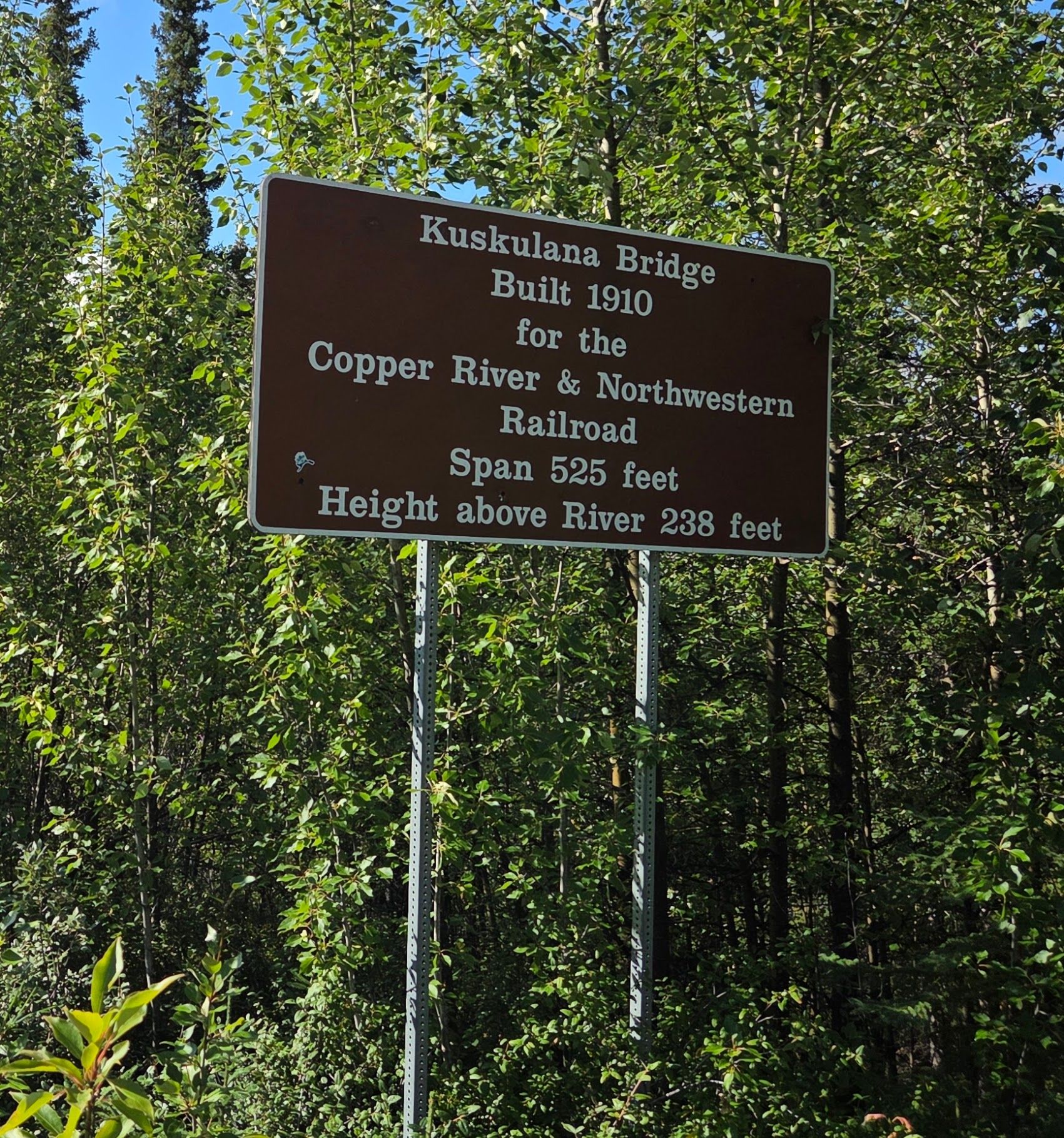
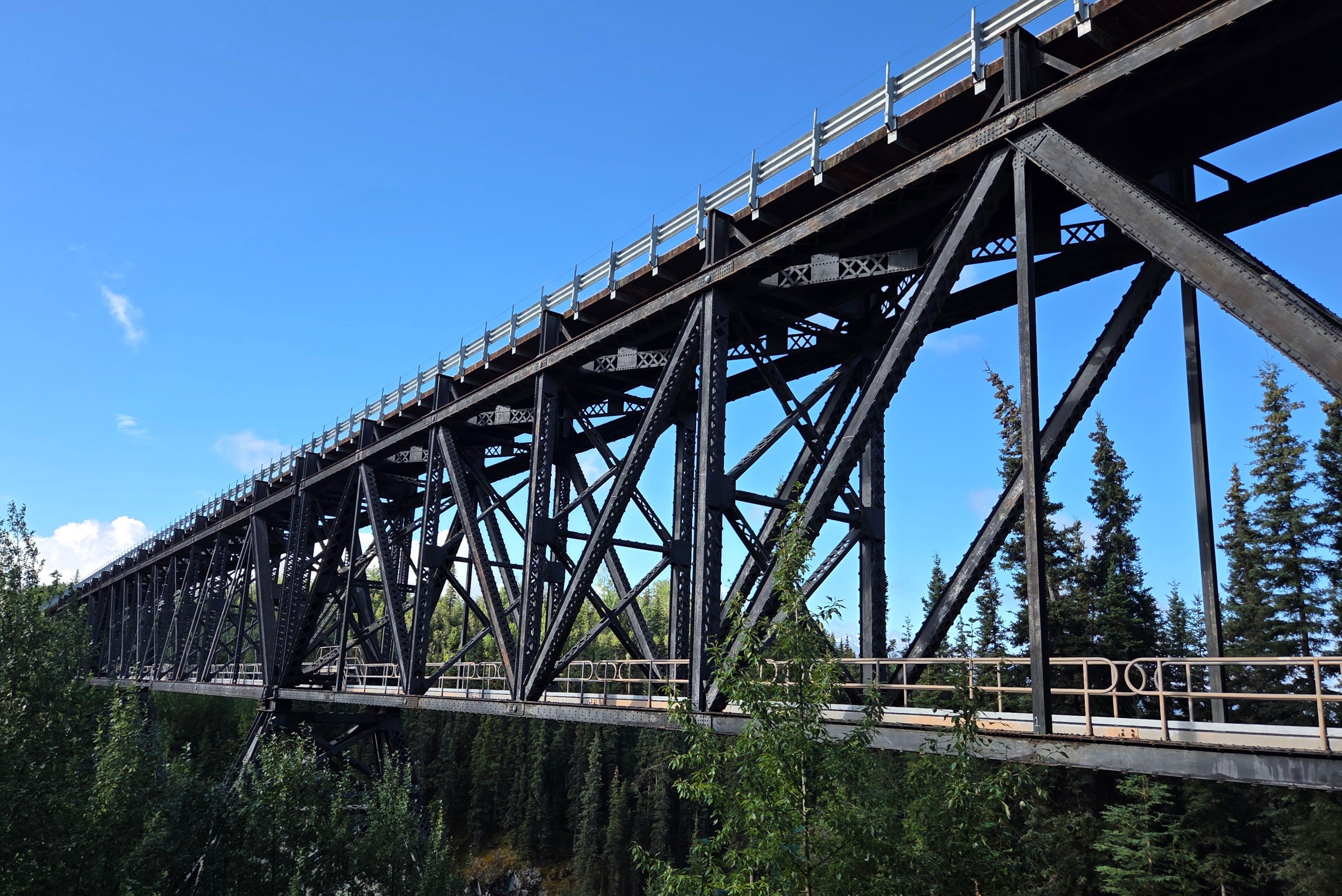
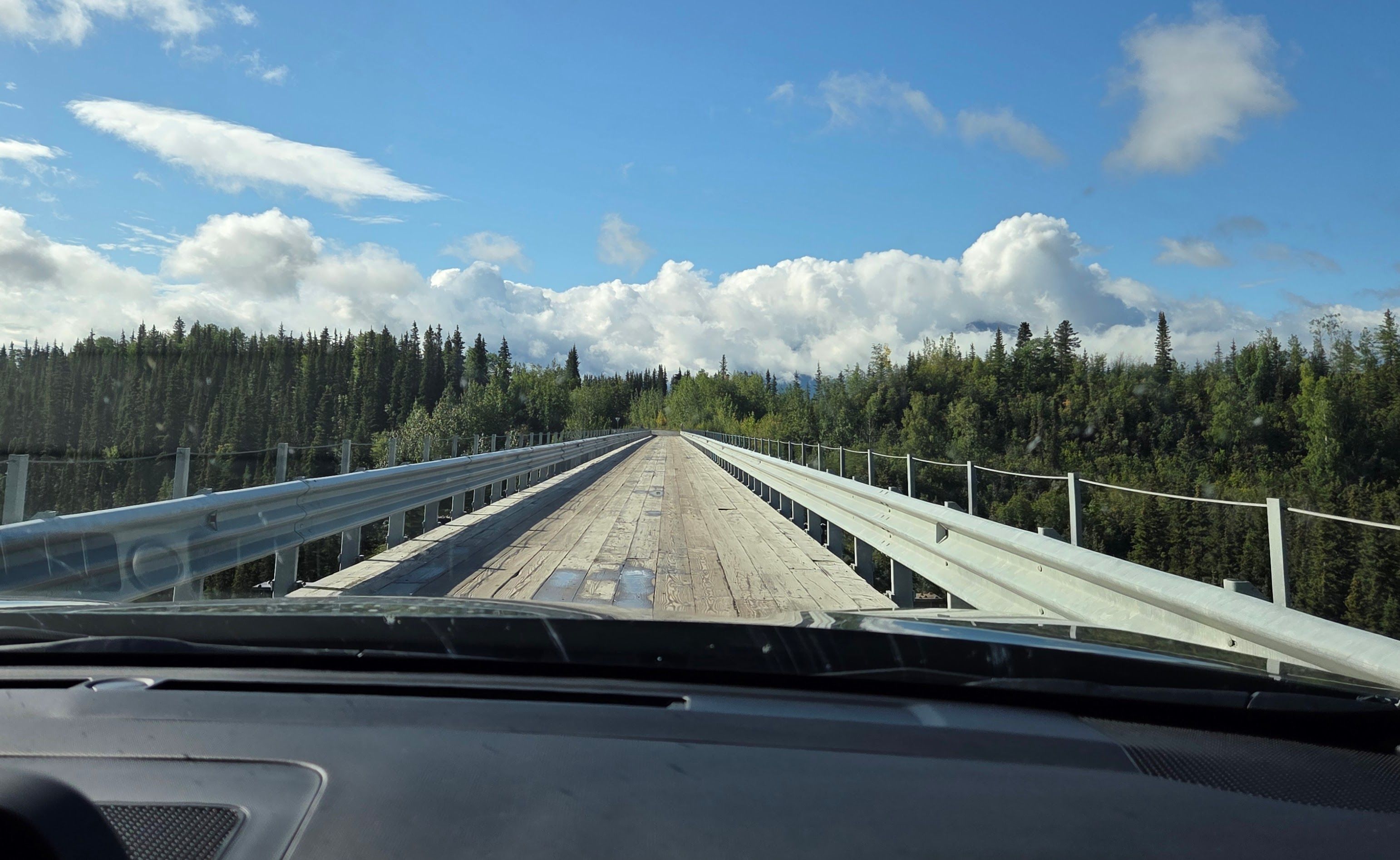
We then stopped at the Kuskulana Bridge. This was a narrow, historic one-lane bridge. We walked down a small trail in order to take good pictures of the bridge.
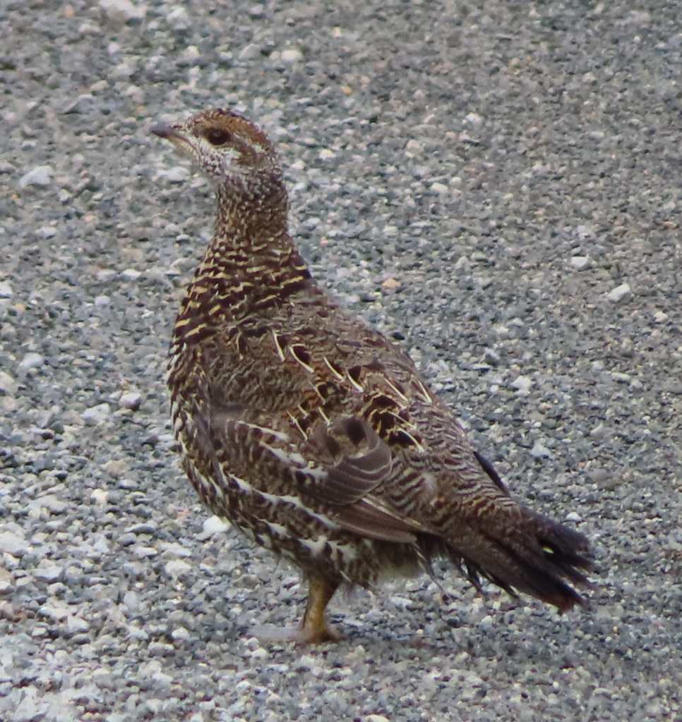
After more driving, we spotted a pair of Spruce Grouses by the roadside. It was actually our first “wildlife” viewing inside this national park!
Wrangell-St. Elias National Park was a vast wilderness. It’s very verdant. The road was lined with many green trees, and some leaves were already turning yellow.
We were surprised to see other cars and RVs on the way in this remote national park. Apparently, there were many crazy people like us, who didn’t have more interesting things to do.
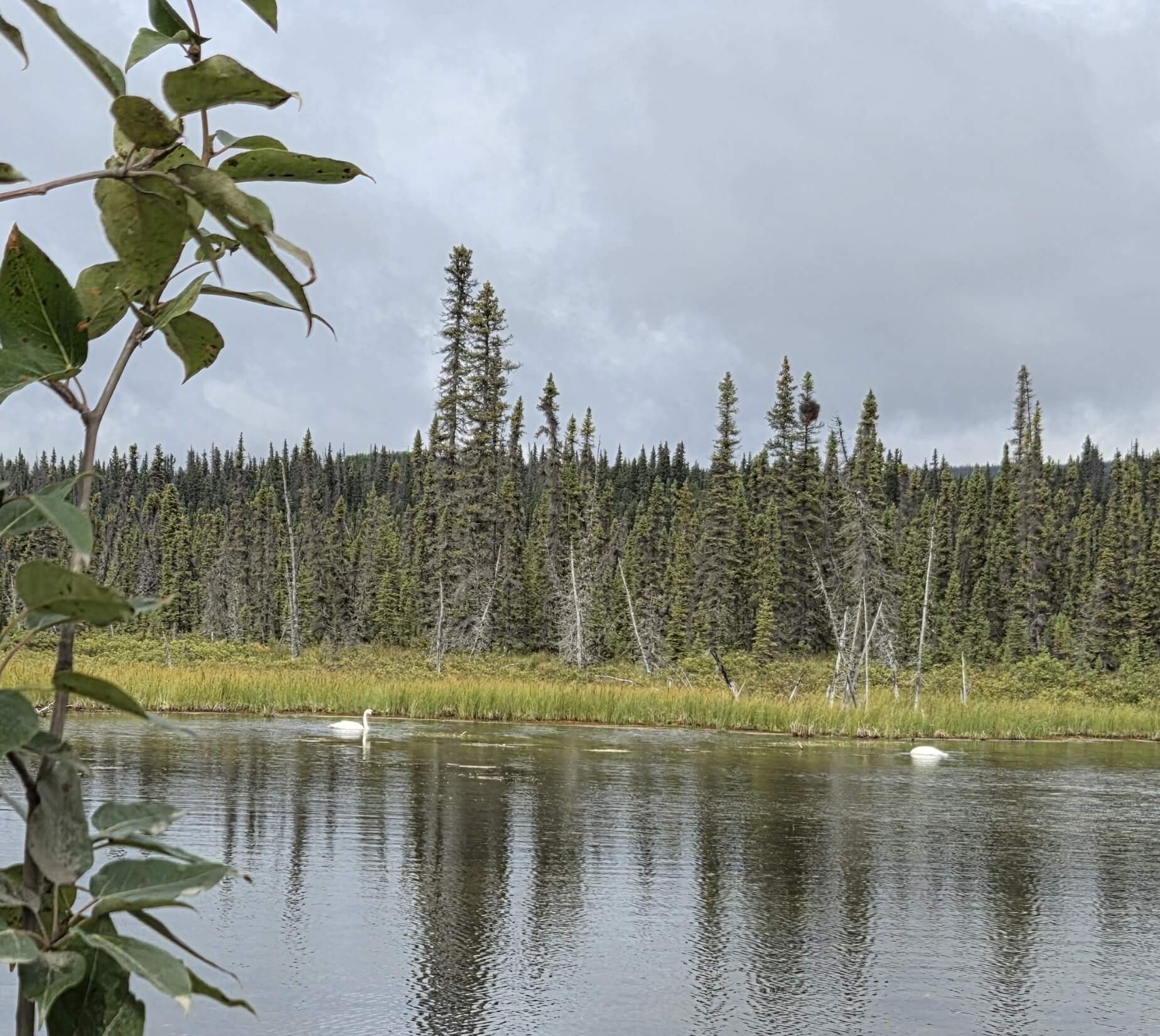
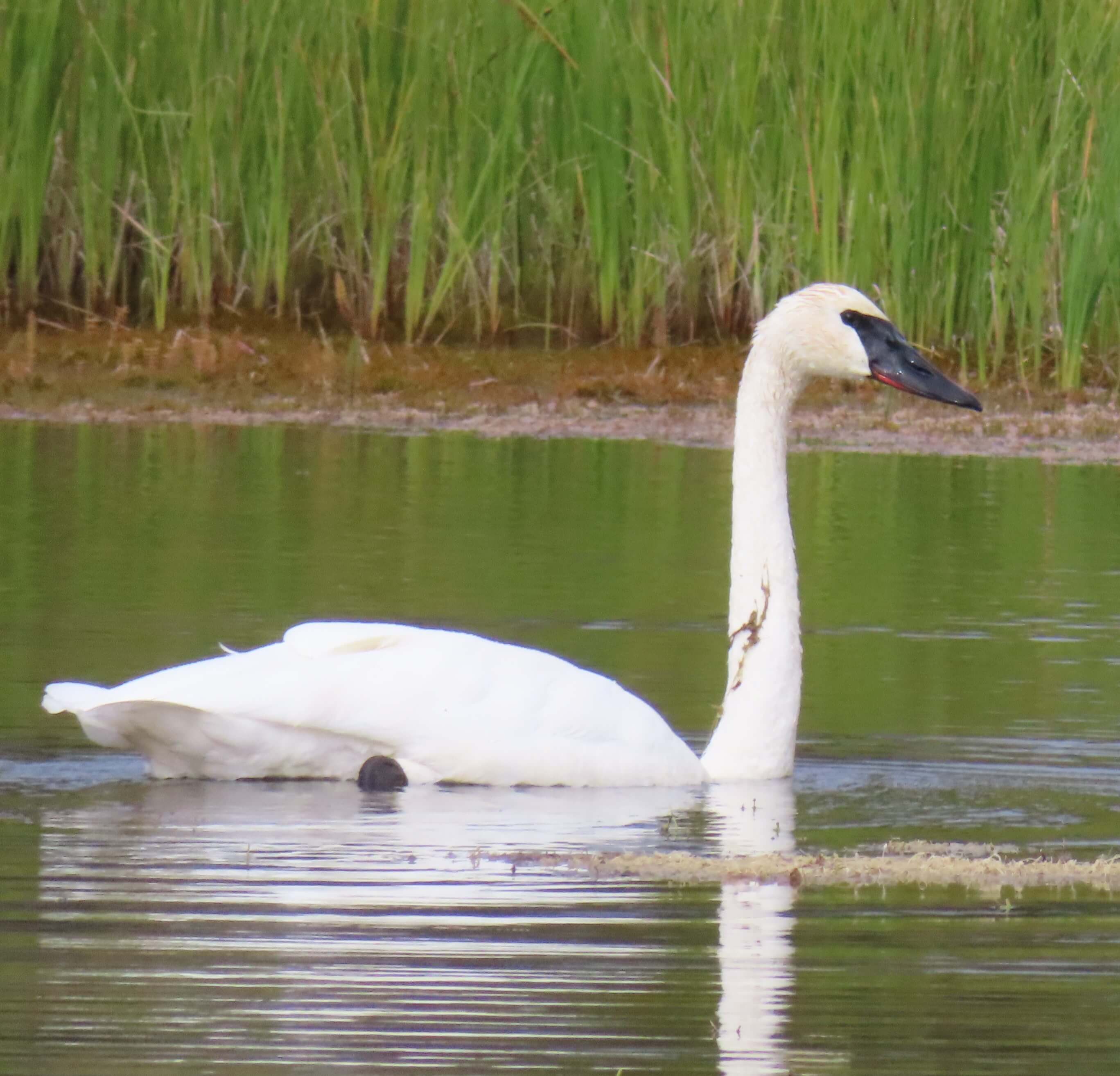
There were also a lot of lakes on the way. We saw two Trumpeter Swans feasting on a small lake.
GPS told us to make a right turn at a small junction. However, there was a “no right turn” sign with a warning: “Google Map was wrong!” So, we kept driving until we reached a foot bridge.
It was very confusing. Rei stopped the car to ask for information. He was told that we had to leave the car in the parking lot (with a fee), and then pay for a shuttle ride to reach Kennecott.
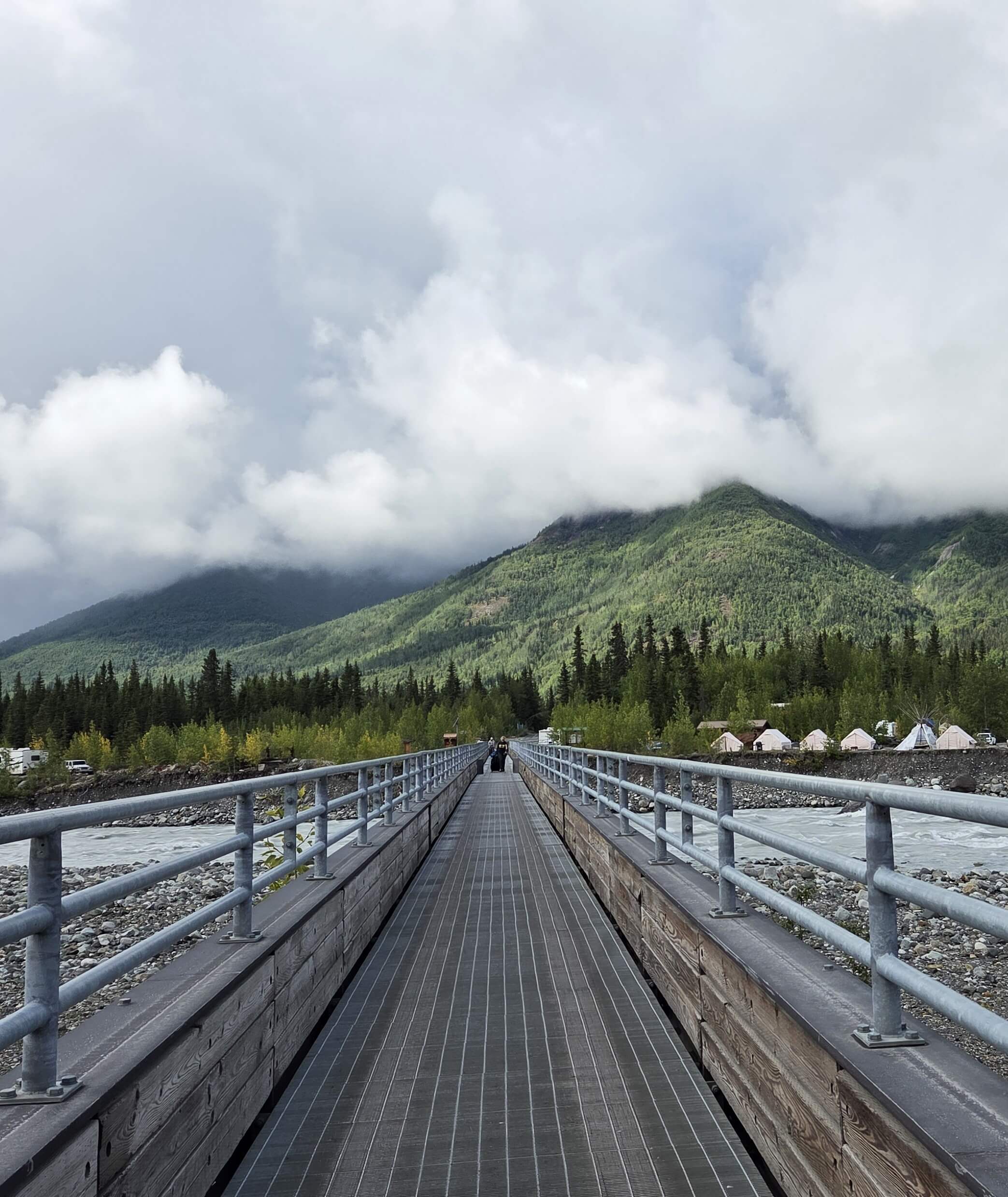
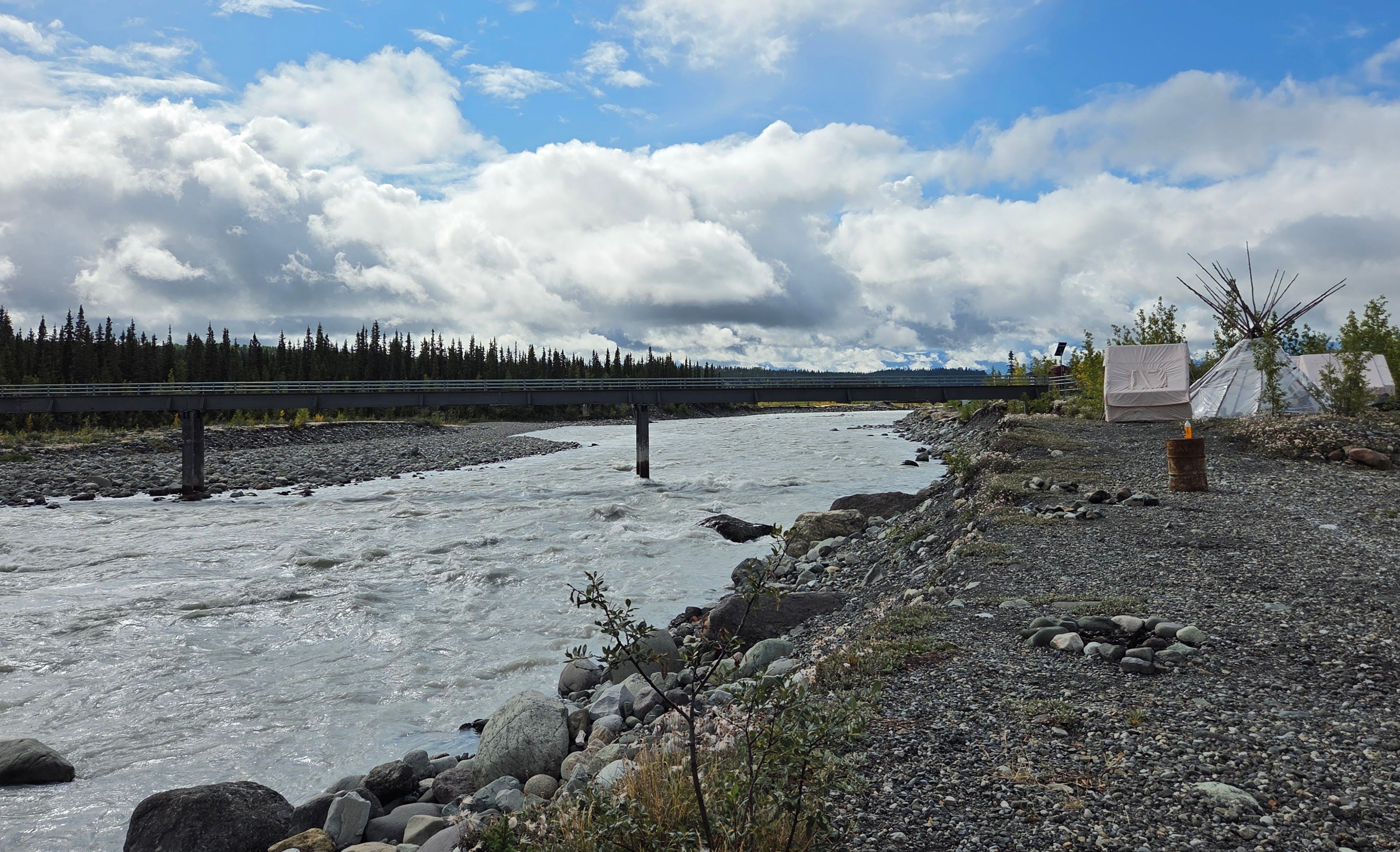
It was already 12:45pm, so we found a picnic table by the river to eat our homemade sandwiches and fruit. There were a few other tourists waiting for the shuttle. The 1:15pm shuttle didn’t arrive. There was another Copper Town Shuttle coming around 1:30pm. The driver told us that we could get on the shuttle to their McCarthy management office to purchase an all-day pass ($15 each). McCarthy was a rustic town with a couple of lodges and some shops. Two passengers stayed in a hotel there.
After we purchased the shuttle passes (they were orange, thick wrist bands), we reboarded the shuttle to go to Kennecott.
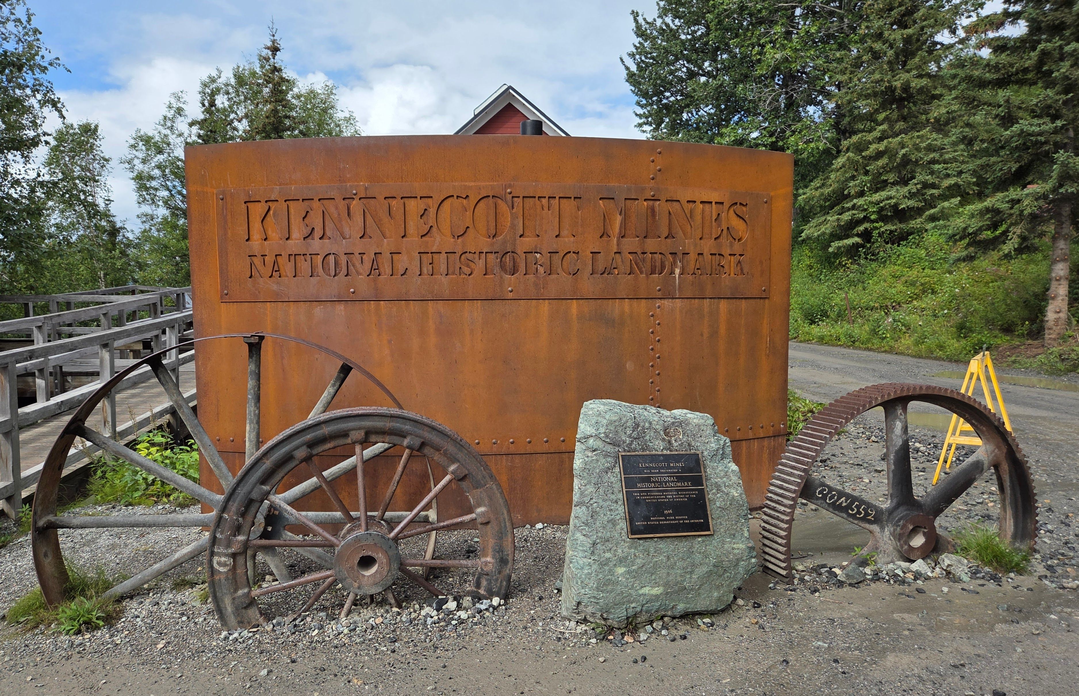
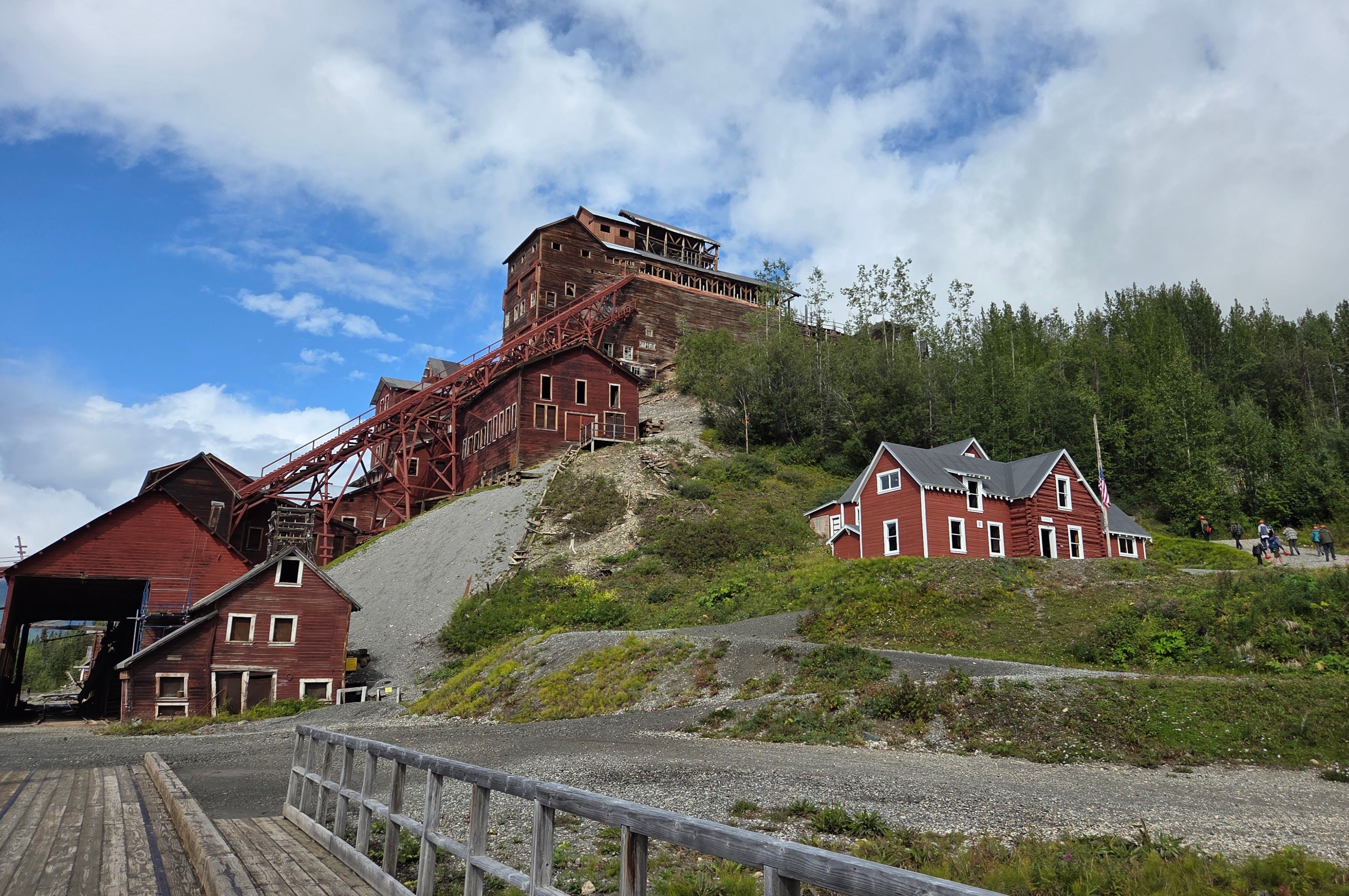
The shuttle stopped in front of the national park visitor center in Kennecott, where we got a different national park stamp. Visitors to Kennecott had options to visit copper mines, hike to a glacier, or just walk around. Most people chose the last option.
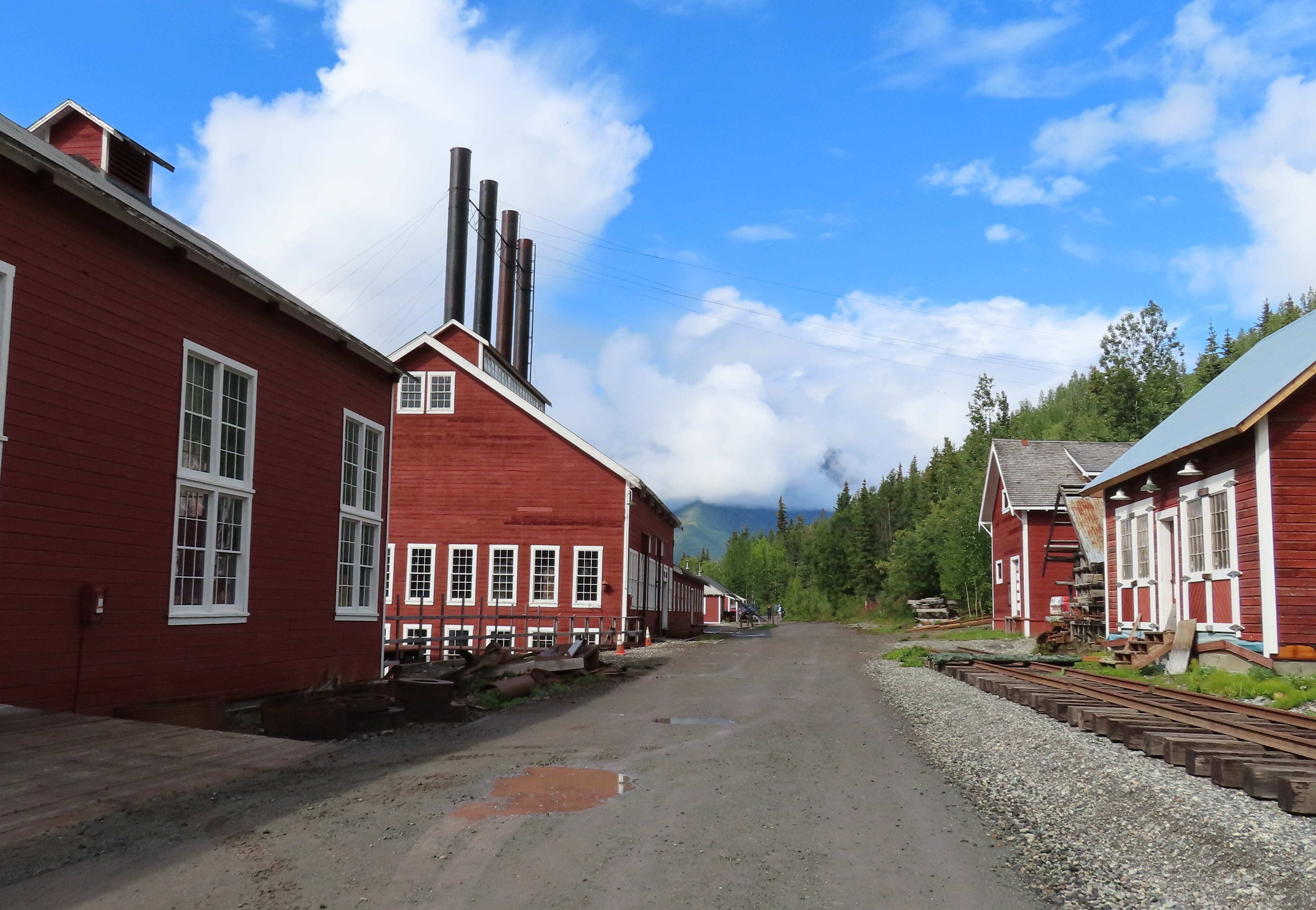
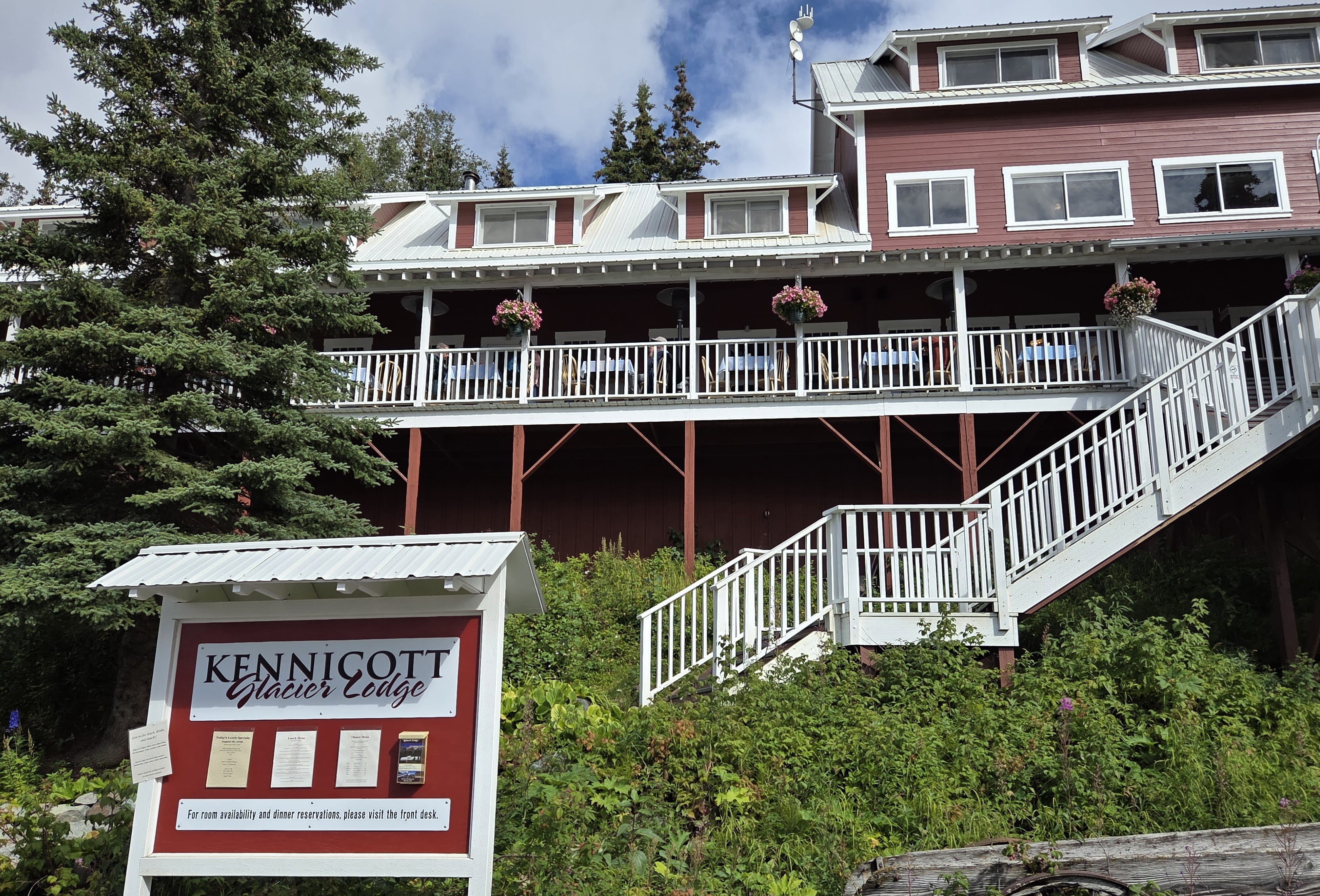
Rei and I visited a few buildings and took photos. There was a Kennicott Glacier Lodge that looked magnificent!
We took the 3pm shuttle back to the foot bridge. Since we would need to drive several hours to return to our lodge, we didn’t linger.
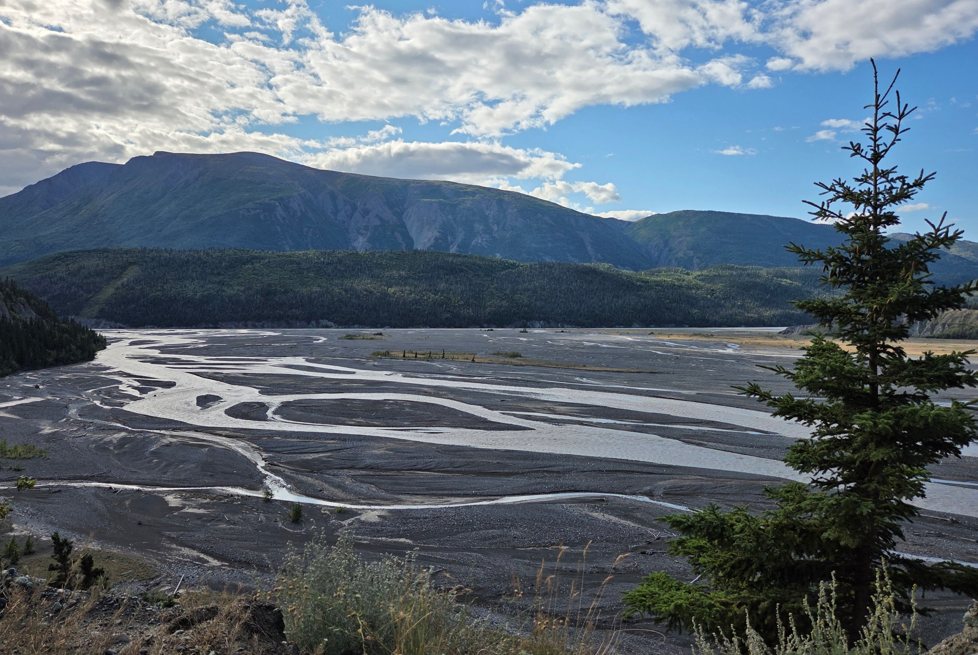
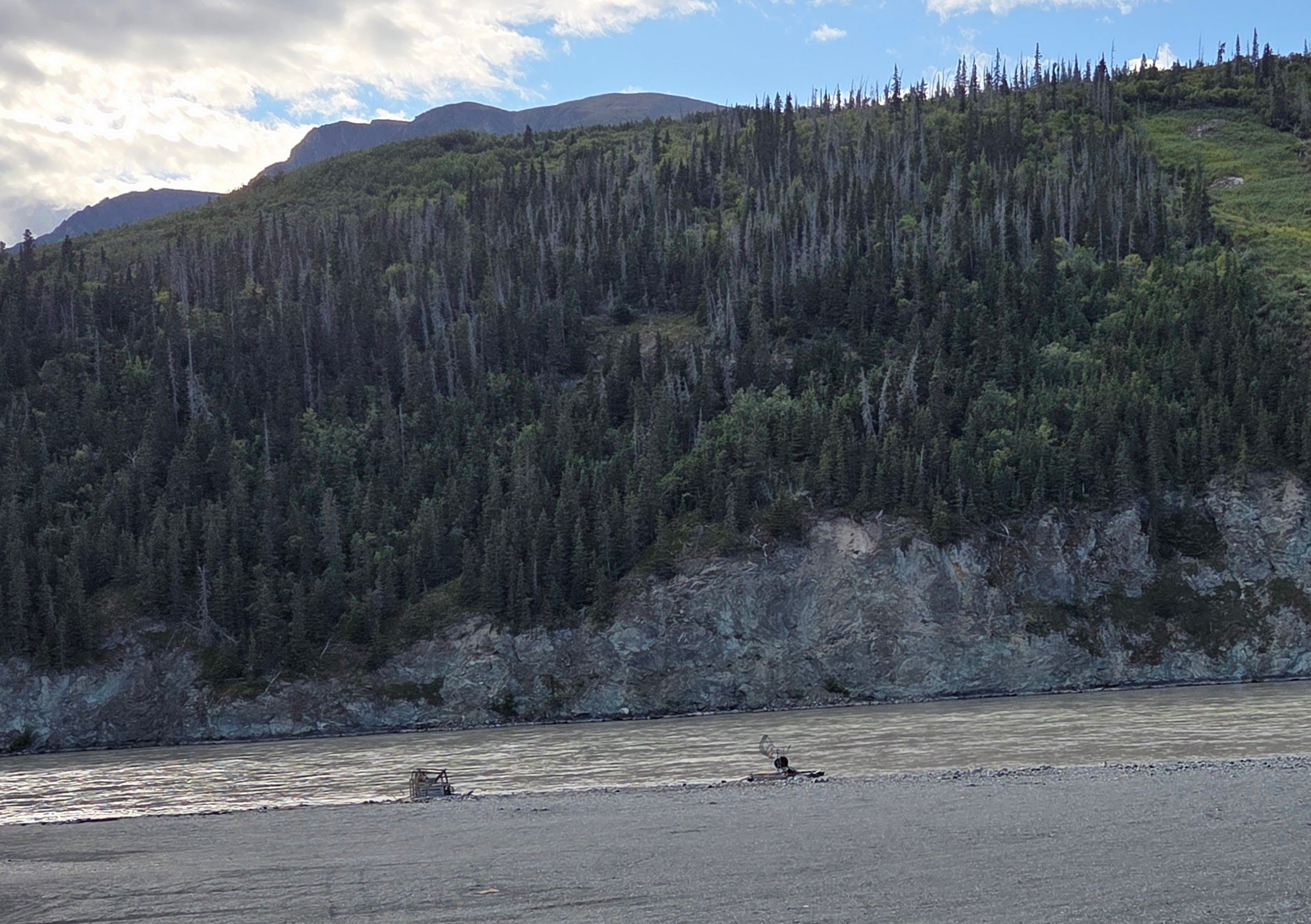
During the returning trip, I was finally on the “scenic” side. I took many photos of the mountains, the Copper River, and the two fishwheels.
The lodge restaurant was closed today. We ate cup noodles and sandwiches for dinner in our room.
Day 4: Musk Ox Farm
We checked out from Tolsona Lake Lodge this morning around 8:20am to drive towards Denali National Park. The weather was brilliant this morning, and therefore the views were a lot better than when we came from the opposite direction previously.
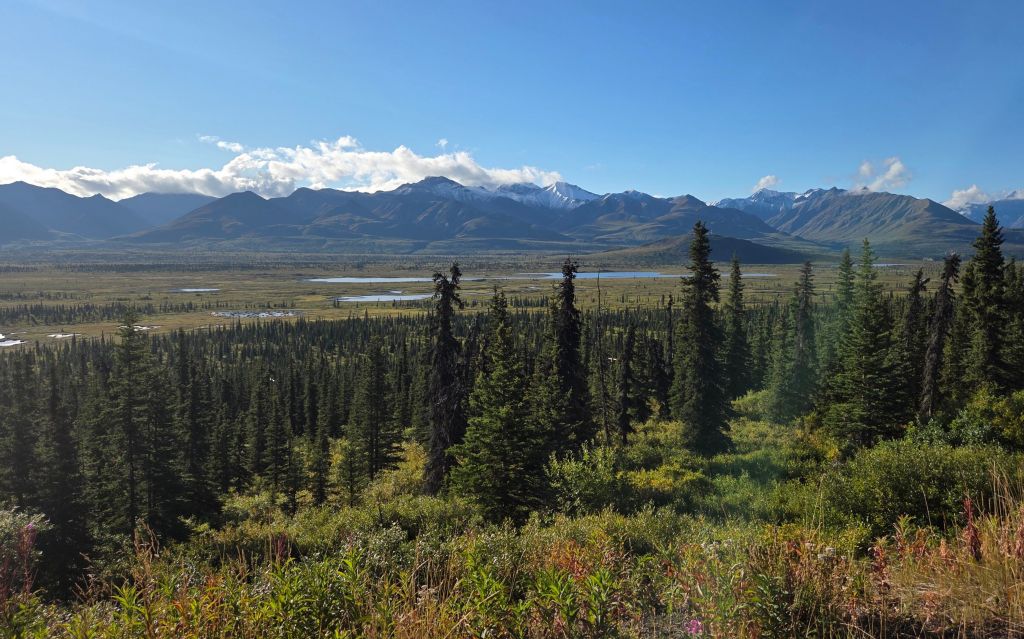
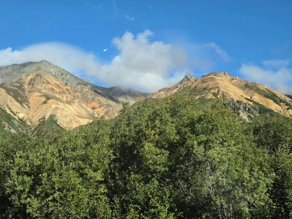
On the way, we saw a tour bus stopping by the roadside, and passengers all got down to take pictures. Rei also stopped the car, and we took many photos. The mountains were very colorful too.
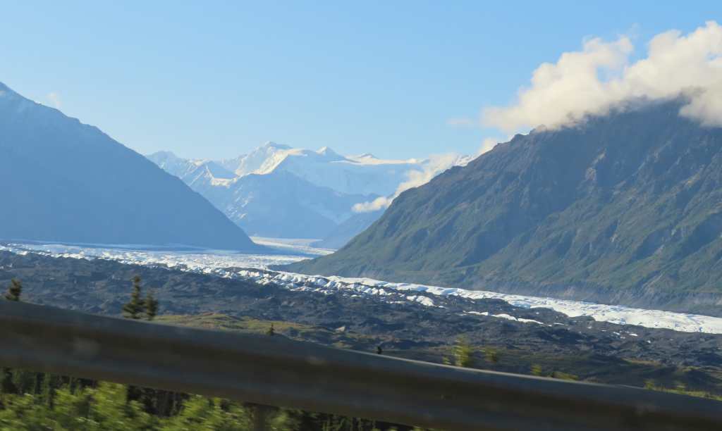
Then we drove past Matanuska Glacier again. The glacier looked brilliant glistening under the morning sun.
There were many road constructions in Alaska during summertime. Soon we encountered the first construction of the day and had a 15-minute delay.
Since we would pass Palmer on the way to Denali, we decided to stop by the Musk Ox Farm. When we arrived, we were just in time to join the 11am tour. There were only two other visitors from Oregon in the same tour.
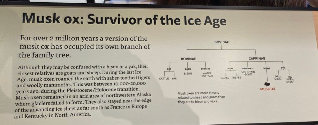
Our guide was an enthusiastic young man, who gave us a very animated presentation. We learned that despite the name, musk oxen are more related to goats and sheep than to yak and buffalo.
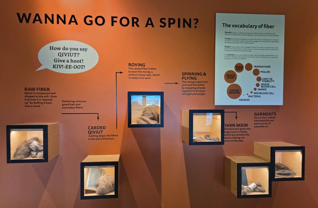
The farm currently had 77 musk oxen, including 5 newborns this year. Workers gathered qiviut, which is the soft underwool of musk oxen. Qiviut is shipped to Peru, where people there had extensive experience processing alpaca wool. After processing, qiviut yarn is shipped back to the U.S. Knitters can then make hats, scarves, or neck warmers. The guide showed us his neck warmer, which was light (only 1 oz) and warm. Visitors can purchase such neck warmers in the gift shop, and they are very costly!
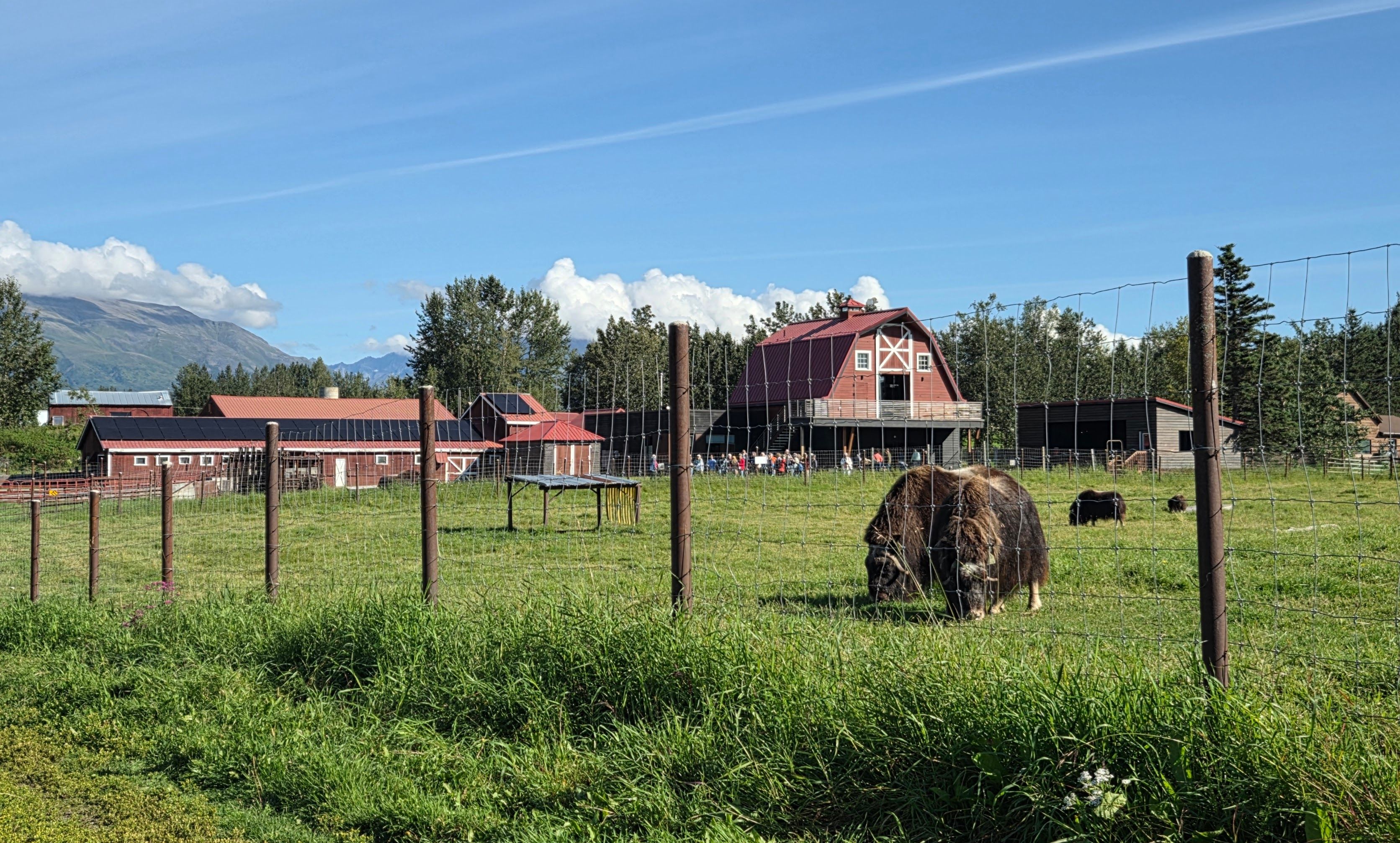
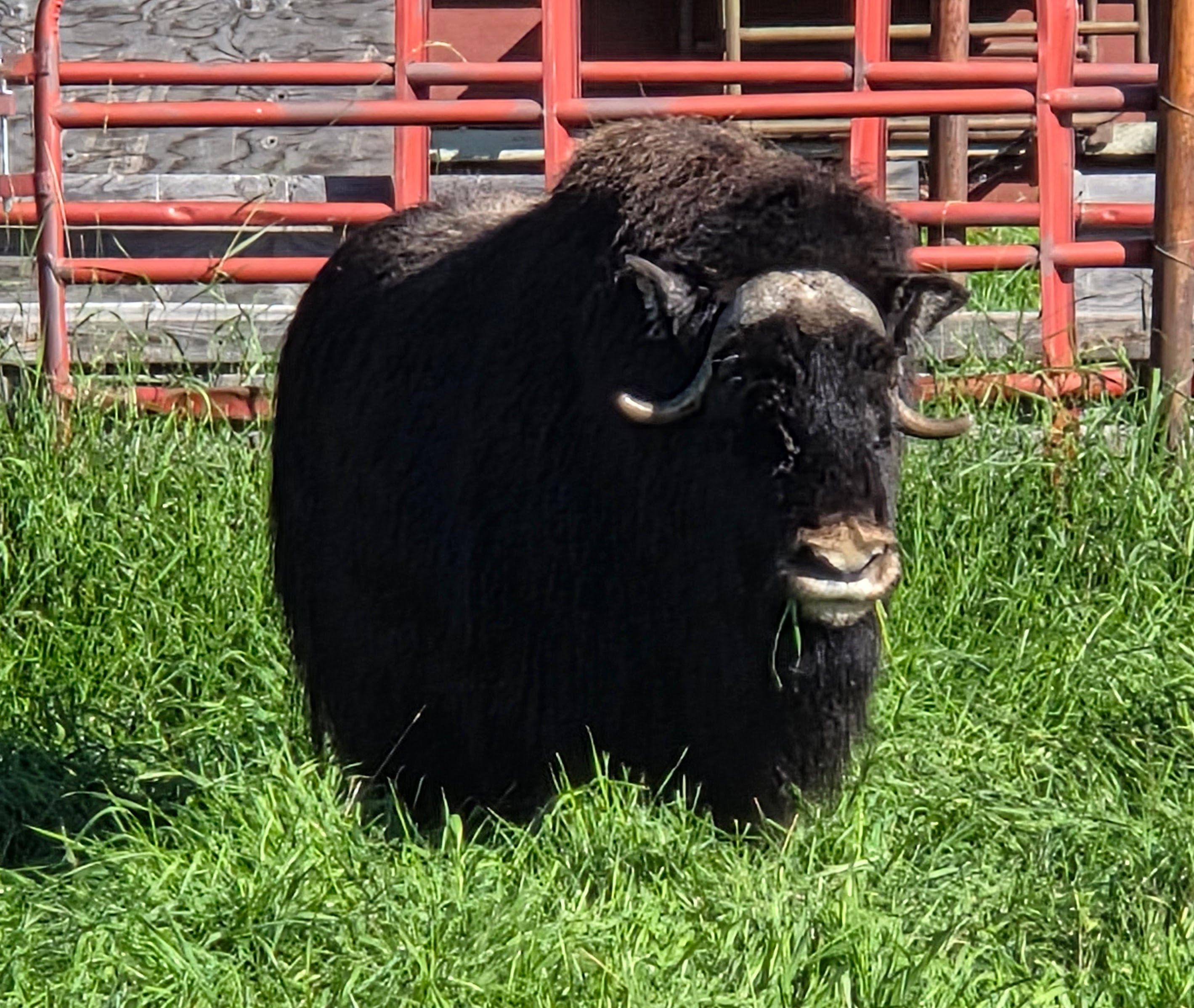
Then the guide led us to visit the farm to meet the musk oxen. He gave us very comprehensive information regarding the diet and the behavior of the oxen.
It was already noon when the tour ended. The farm had several picnic tables, where Rei and I ate our sandwiches and fruit.
We stopped by a supermarket to stock up again before continuing to drive to Denali. There were more road constructions, therefore, we didn’t arrive until 5:30pm.
When we were close to Denali National Park, there was a sign pointing to a Denali Mountain lookout point. Rei decided that we should go take a look. There were many people at the lookout, all trying to figure out which one was Denali. The final conclusion was: it’s behind the clouds. (More on Denali viewing later…)
Our lodge was across the street from a Princess Cruise Lodge. Rei wanted to go there to have a nice dinner. However, they were full, and other nearby places didn’t look impressive.
We ended up going to a pizzeria. There’s a long wait for an inside table. Rei didn’t want to dine at the patio (“It’s too cold!“) So, we ordered a pizza to go.
Day 5: Denali National Park
I booked a 6am Tundra Wilderness Tour leaving from Denali Bus Depot. We had to get up very early today. Fortunately, our lodge, Denali Rainbow Village RV Park and Motel, was only 15 minutes away. It’s really worth the $300+ per night cost.
We left around 5am to drive to Denali Bus Depot. It was still very dark, and Rei had to drive slowly. Luckily, the road was very empty. We had breakfast at the bus depot while waiting for the departure.
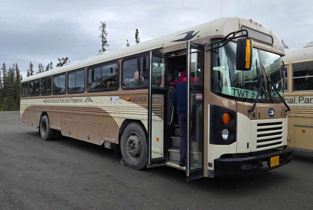
The sky was overcast, and there’s a light rain, so we didn’t have a high expectation of this trip. We have taken a similar tour many years ago during our first Denali National Park visit and have seen moose and caribou, so we didn’t mind if we couldn’t see any wildlife on this tour.
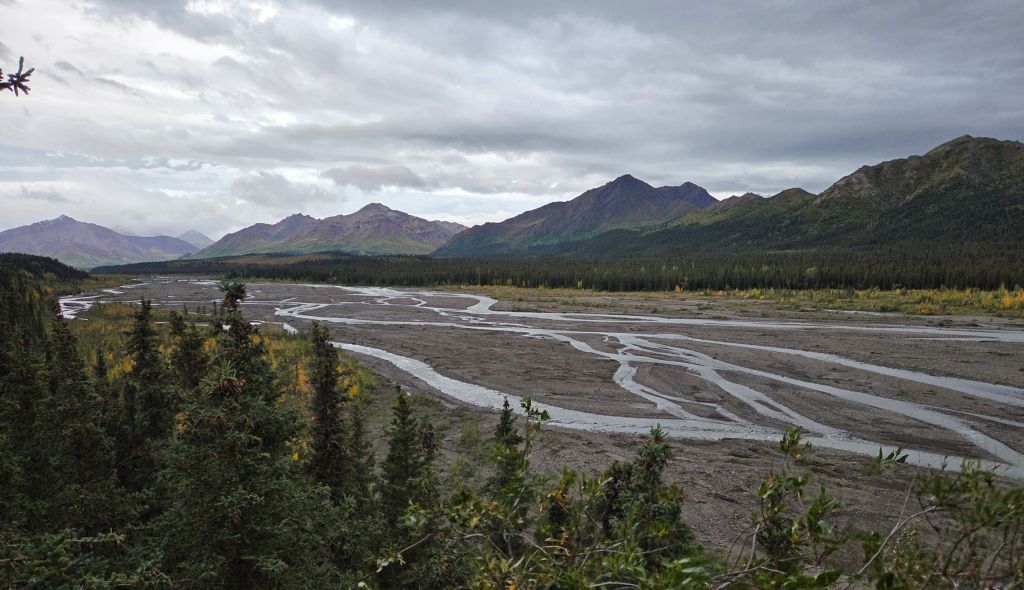
On our way to Savage River (where the paved road ended), we saw two willow ptarmigans and a porcupine on the road side, but it was too dark to take photos.
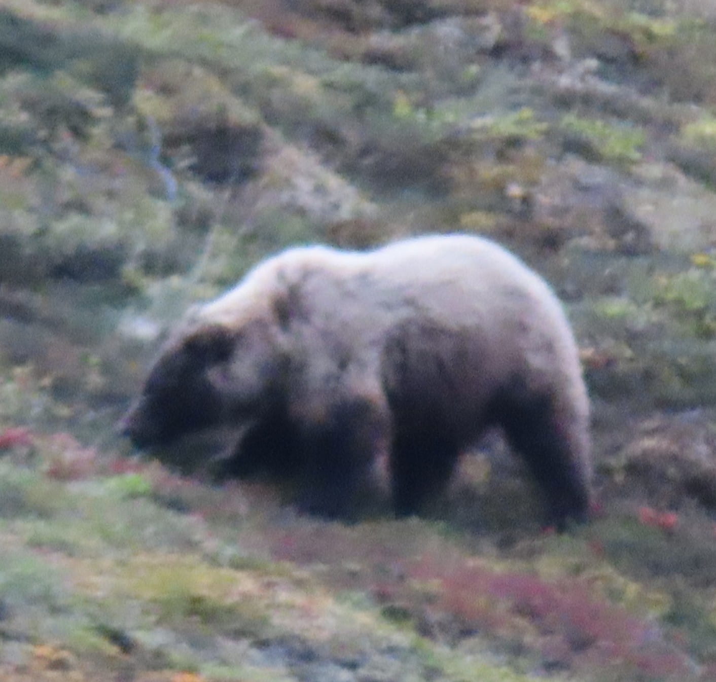
Many fellow bus passengers brought binoculars. Soon someone spotted a fat grizzly bear on the mountain side! Our driver stopped the bus to let us take photos. This was the first time we saw a grizzly bear in the wild!
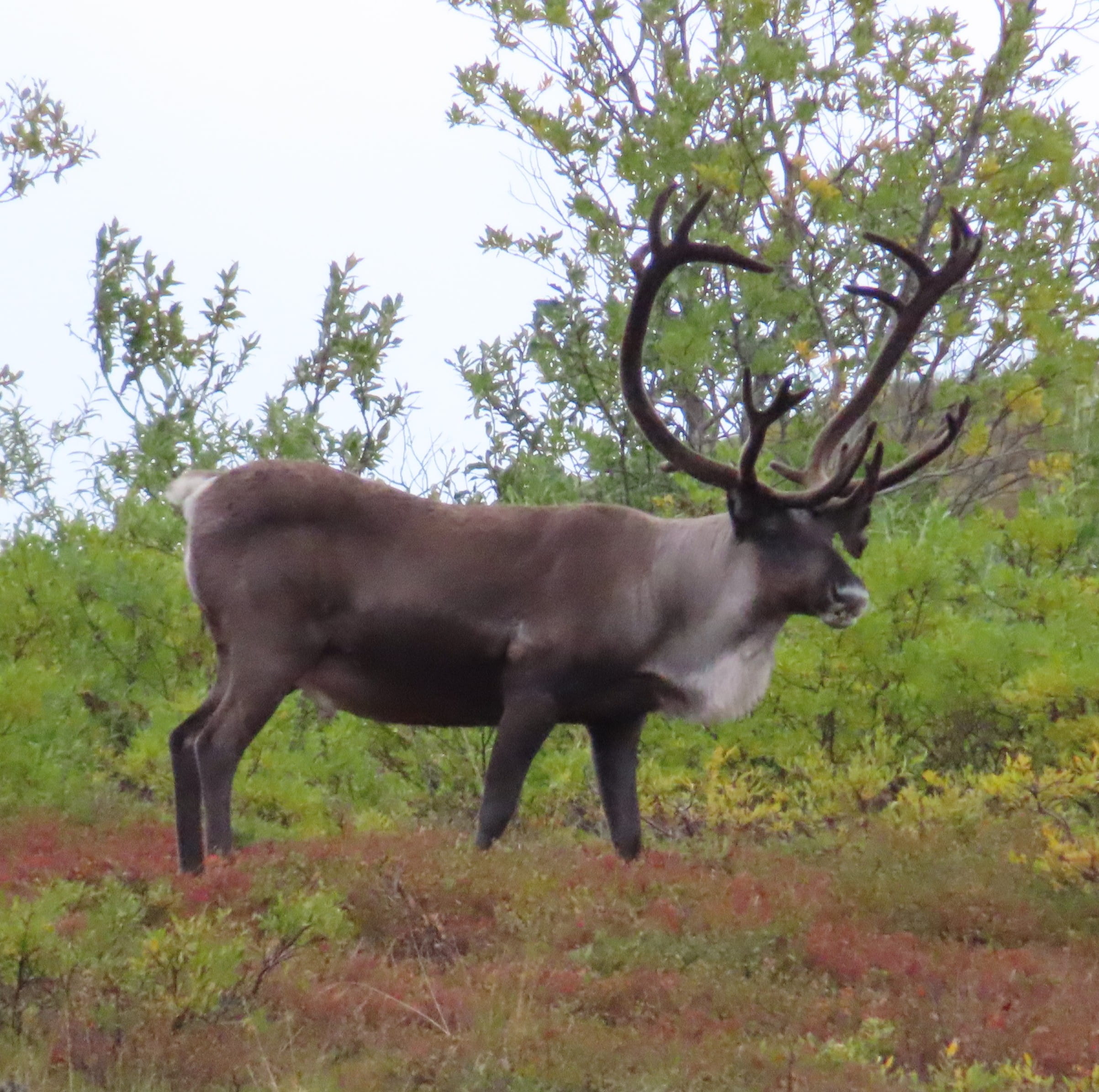
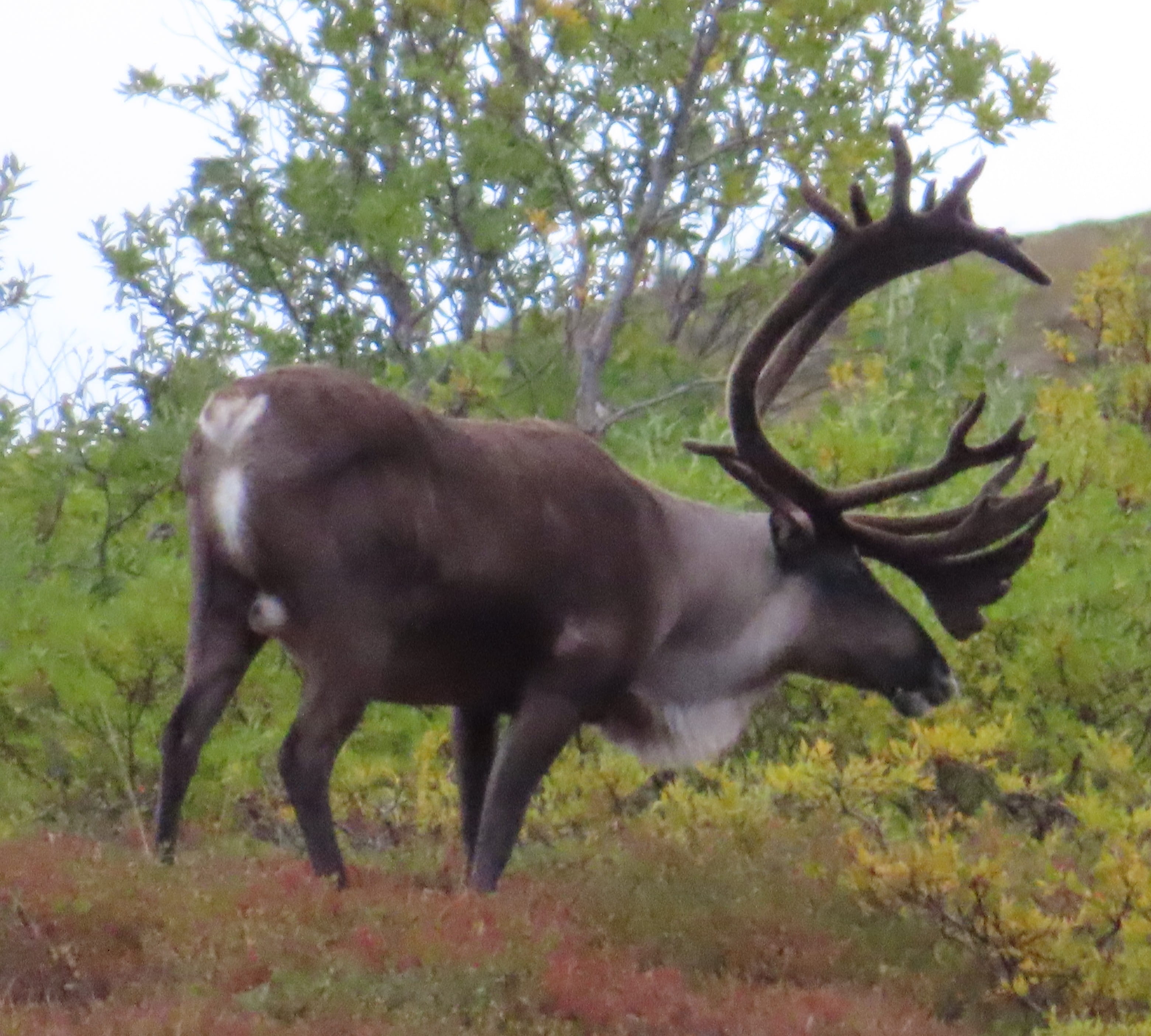
A short while later, there was a caribou with huge antlers grazing on the hill. Everybody was very excited. We all took many pictures. Later, we saw more caribou.
There was also a gold eagle flying close by, but I didn’t manage to get a picture.
Someone asked the driver whether he informed other bus drivers about wildlife spotting using a radio. The driver replied that they used hand signals. There were different signals for grizzly bears, birds, caribou, Dall sheep, etc., and there’s even one for Denali Mountain. It’s pretty cool!
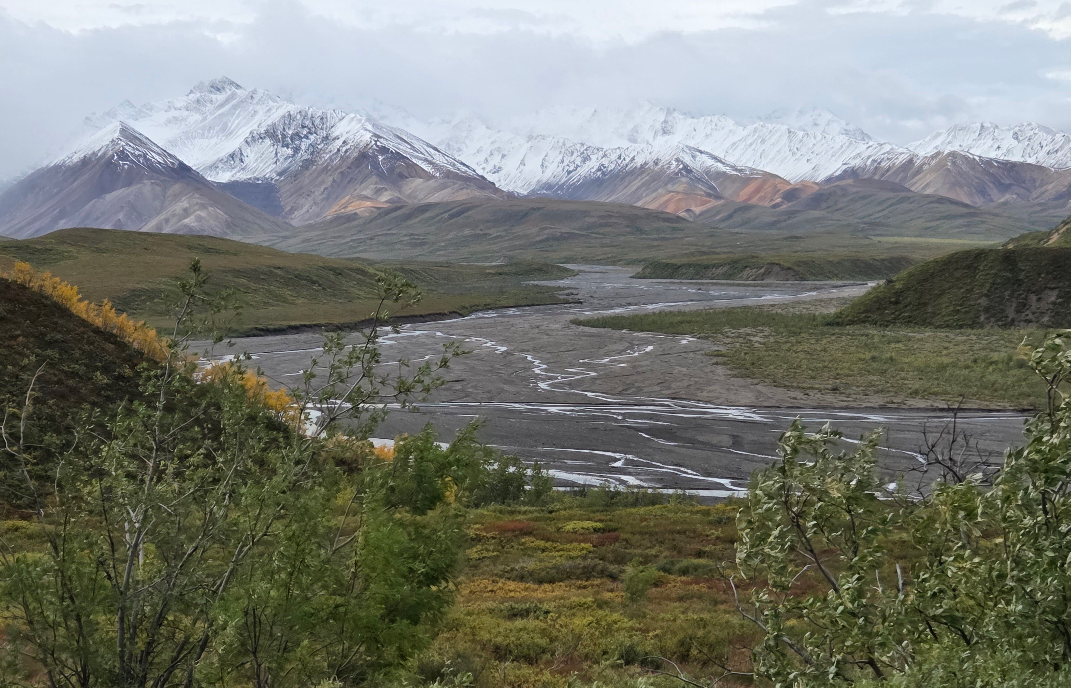
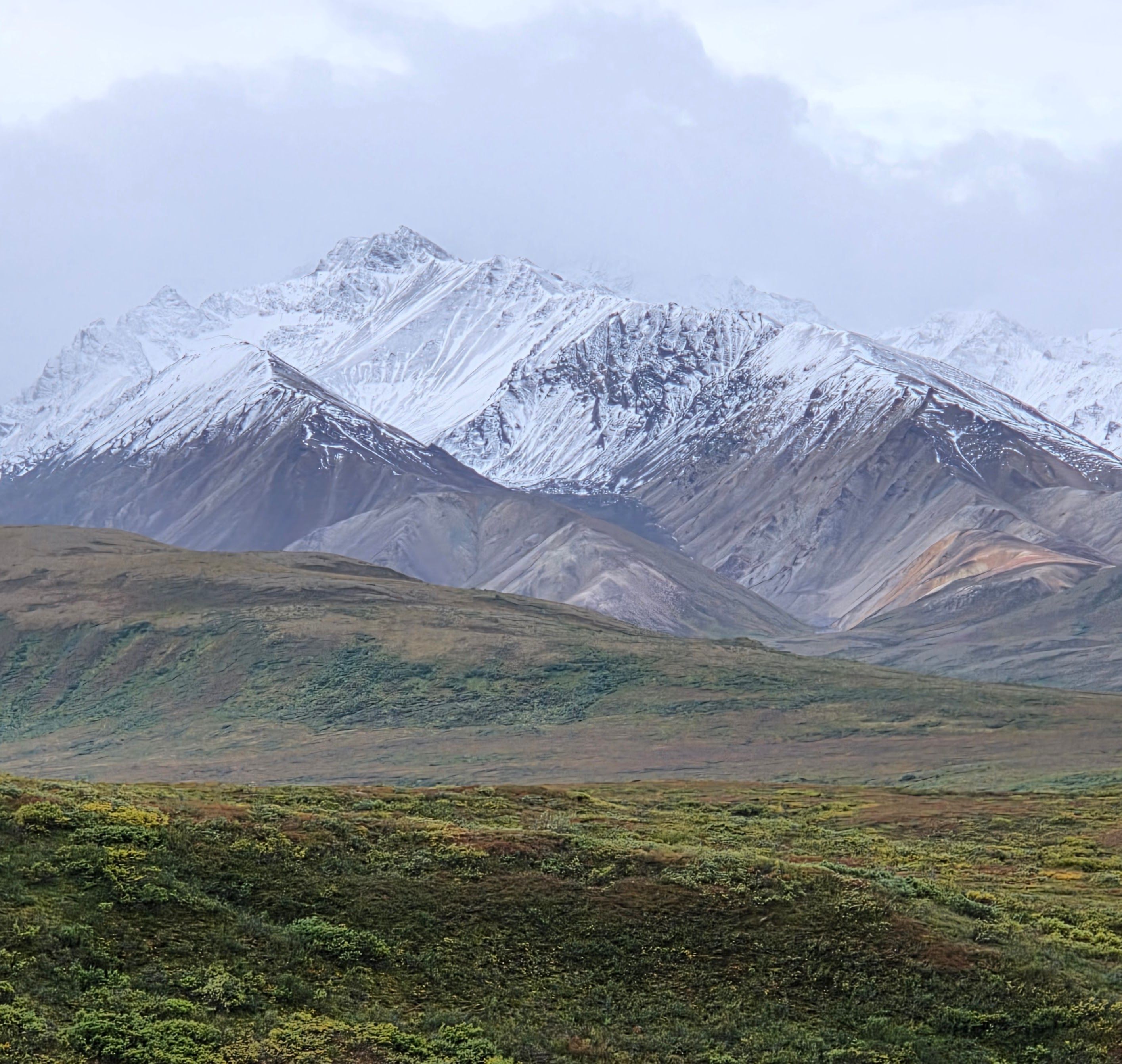
Due to the current road condition, we had to turn back at Sable Mountain. (Our previous tour went further.) The view at Sable Mountain region was splendid with snowcapped mountains and multi-colored hills. It’s a pity we couldn’t go further.
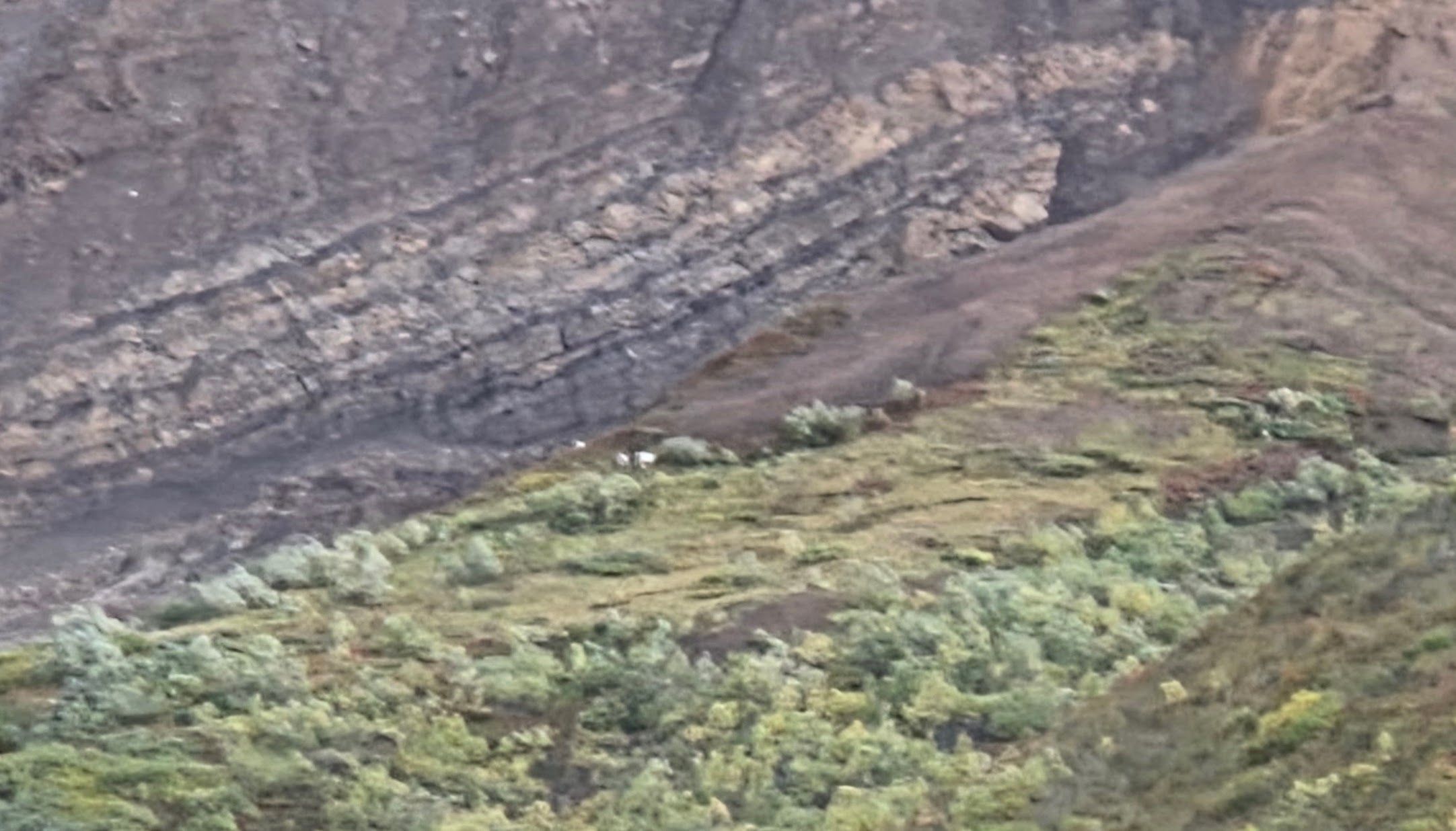
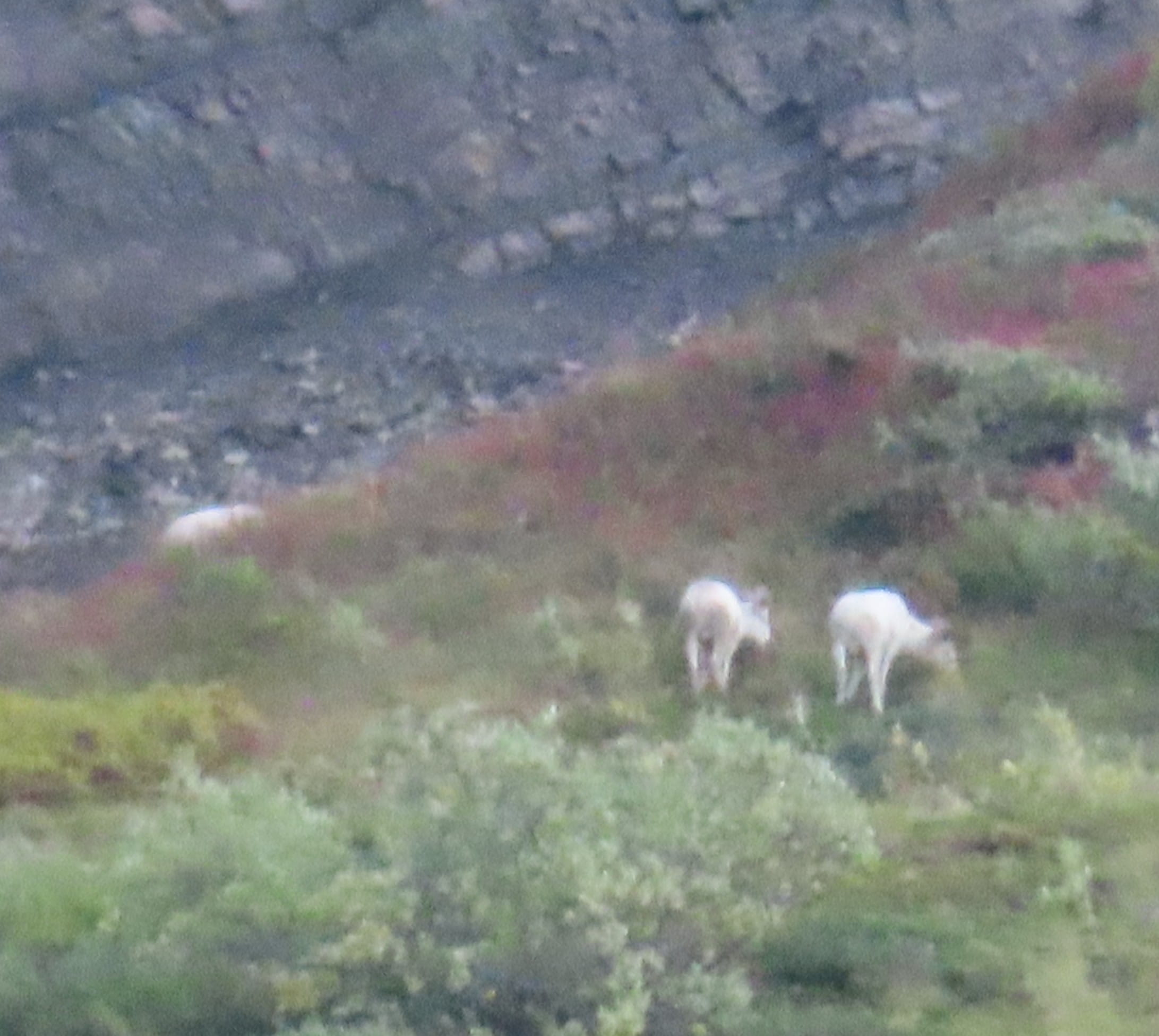
Not too long after we turned back, our bus driver received a hand signal of Dall Sheep spotting from another bus driver. We first saw a big sheep on the hill. Later, we found three additional sheep on a lower ground. They were far away though.
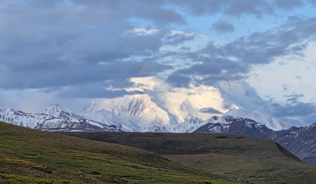
Very soon, fellow passengers spotted Mount McKinley/Denali. (Our fellow bus passengers were amazing!) Even though the top of the mountain was covered by clouds, we got a pretty decent view. This tour was getting better and better!
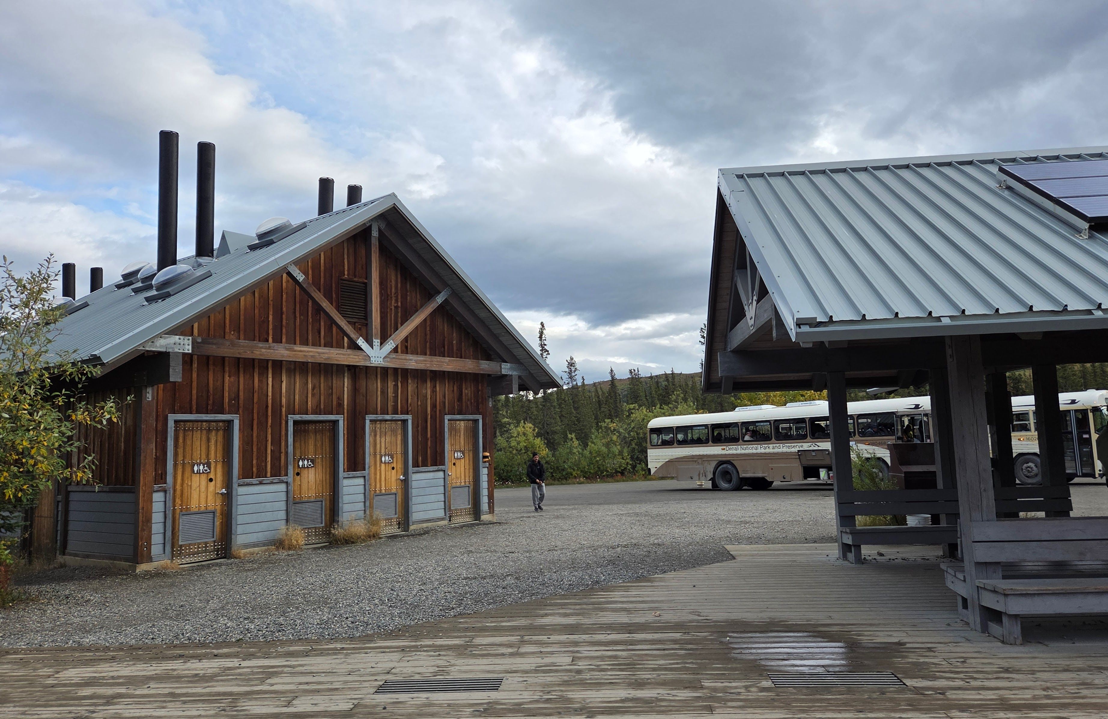
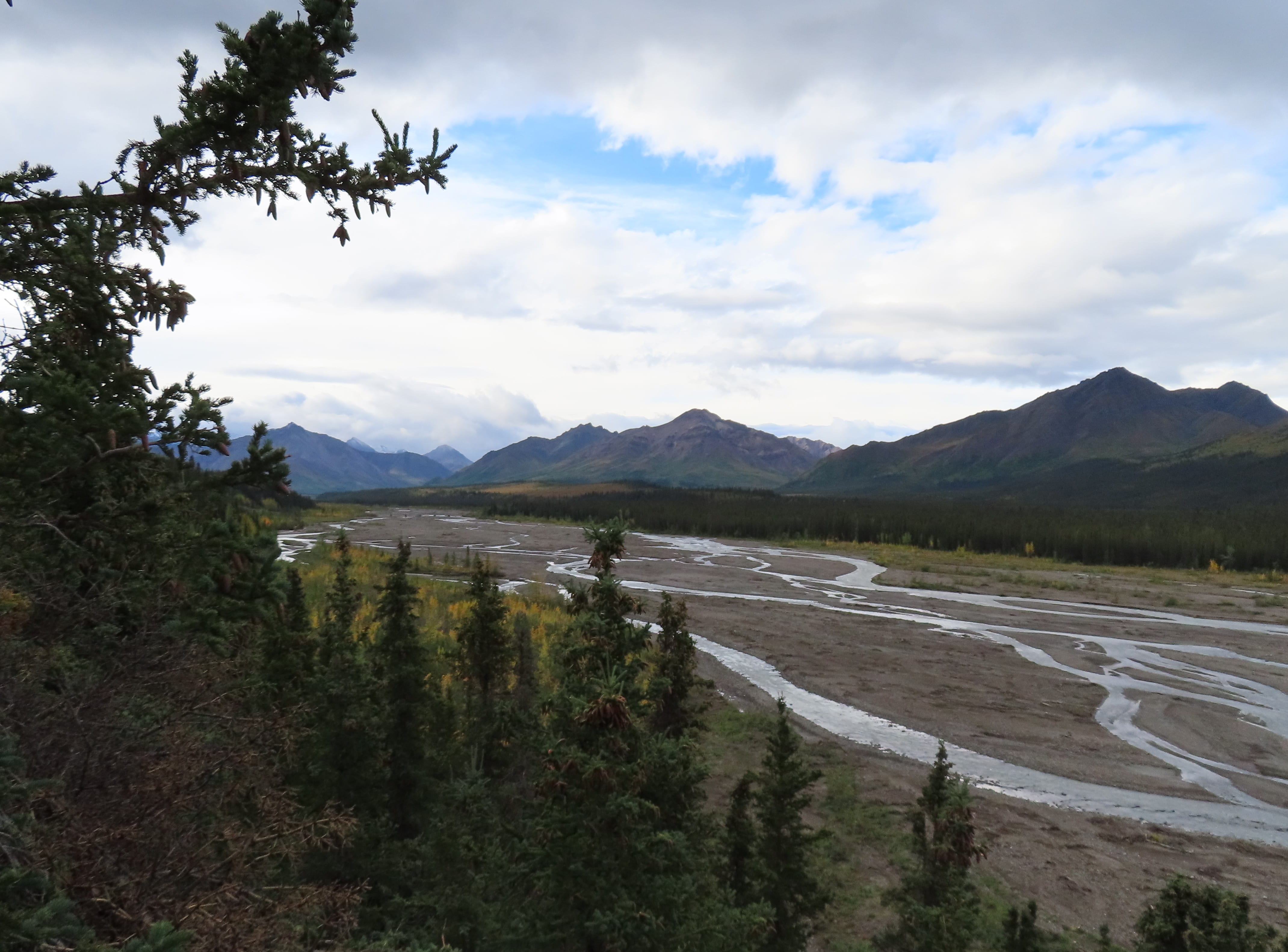
We had another restroom stop at the same place we stopped in the morning. The weather was a lot better now (it was super windy and cold this morning), so we had a longer stop for additional photos.
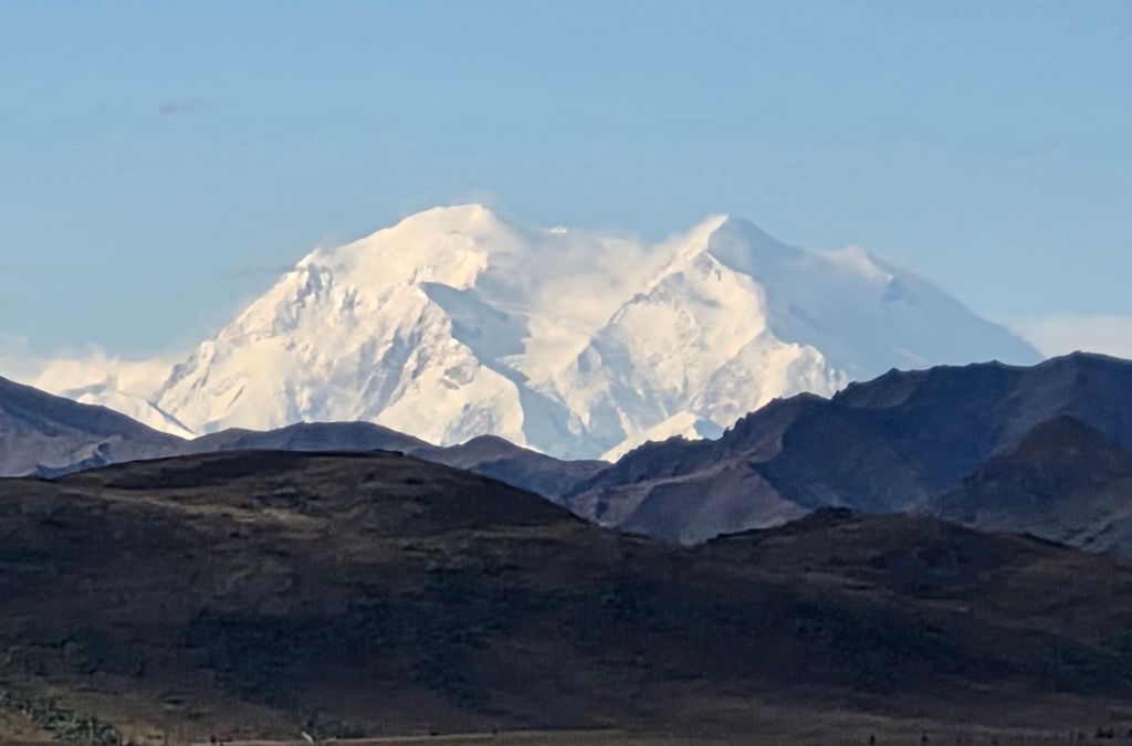
Now we were ready to return to the bus depot. Since it was still cloudy, the driver didn’t think we would get an even better view of the Denali Mountain. To everybody’s surprise, the next mountain viewing spot provided a completely unobstructed view of Denali. It was insane! The entire group, including the bus driver, was awestruck. Of course, we all took tons of photos and considered ourselves extremely lucky!
When the bus returned to Savage River, the driver informed us that we could get down here to hike a 2-mile loop, and we could catch a green shuttle bus for a free ride back to Denali Bus Depot. Rei immediately told me: let’s go!
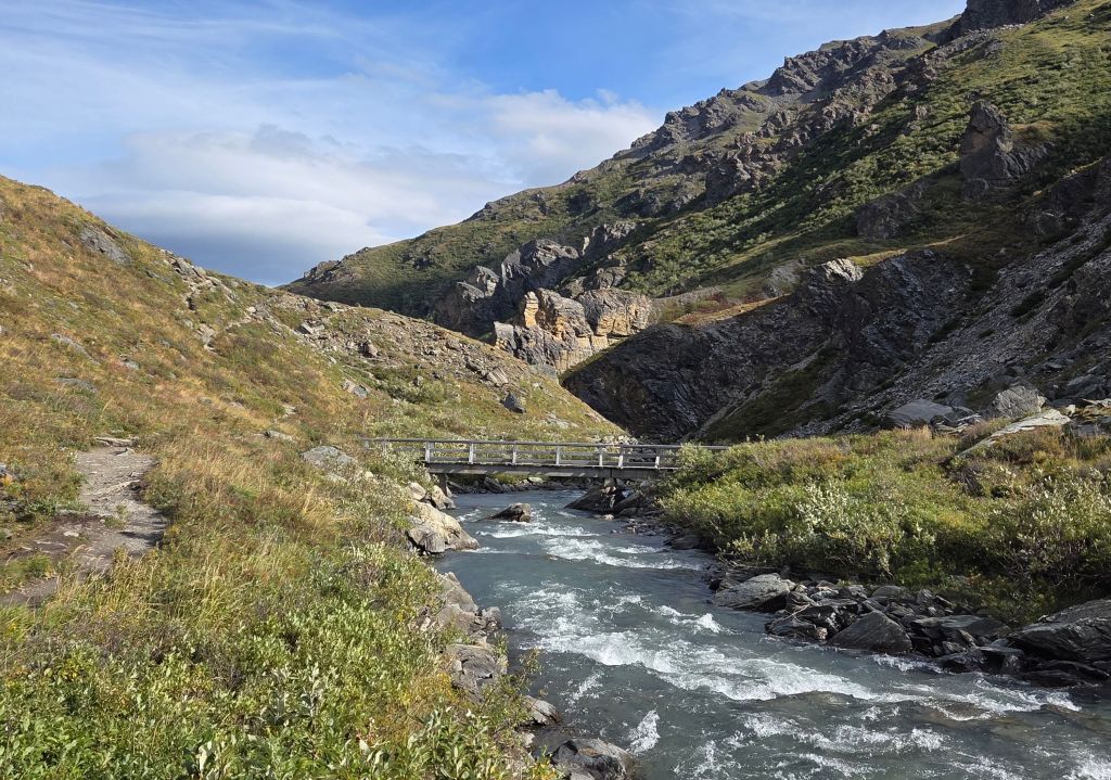
The 2-mile loop trail was an easy and mostly flat trail along a fast flowing river. The real challenge was the strong wind. There were many hikers on the trail.
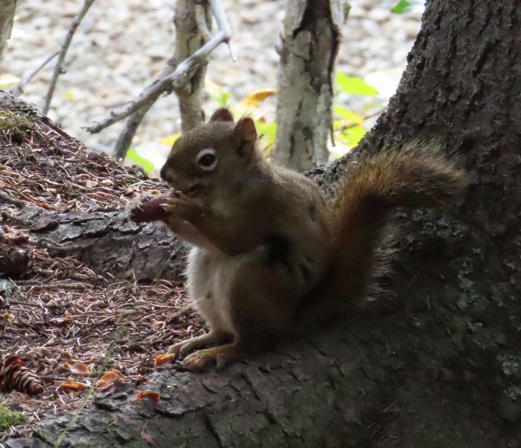
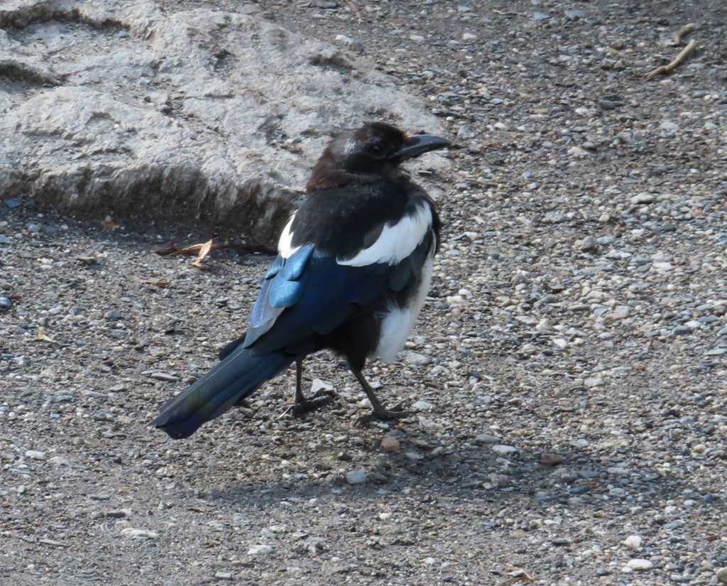
I spotted a ground squirrel and a fat magpie. When we returned to the trailhead around noon, a green shuttle bus was about to leave. The kind driver waited for us to board the bus.
It was already 12:30pm when the shuttle reached the visitor center compound. We decided to get off here to have our lunch break. Since we packed sandwiches, we only need to purchase coffee and hot chocolate.
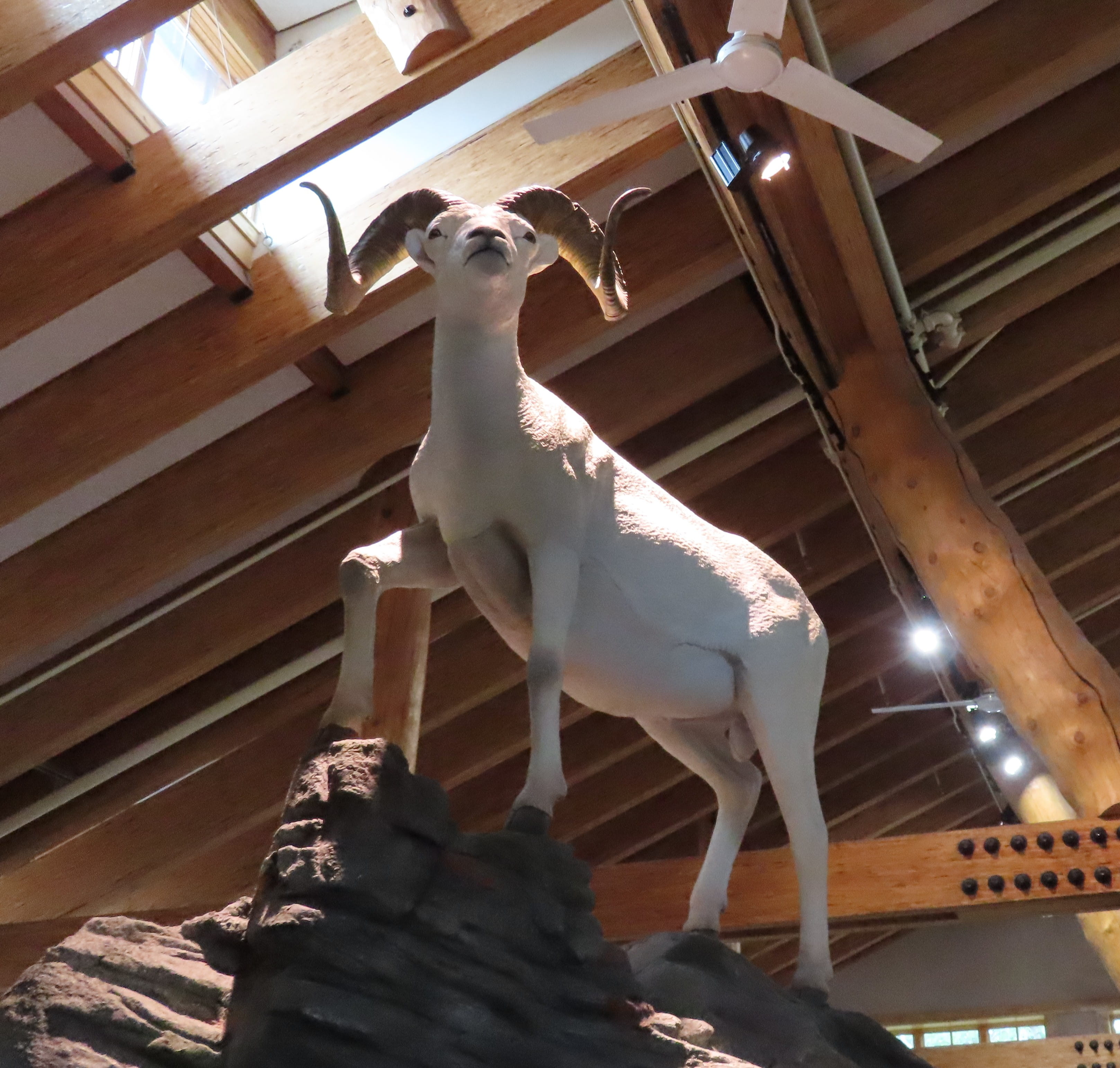
After lunch, we went to the visitor center to collect the national park stamps and to watch a film. Rei also asked a ranger for hiking suggestions. There’s a park store nearby, where we bought additional magnets for Cutie.
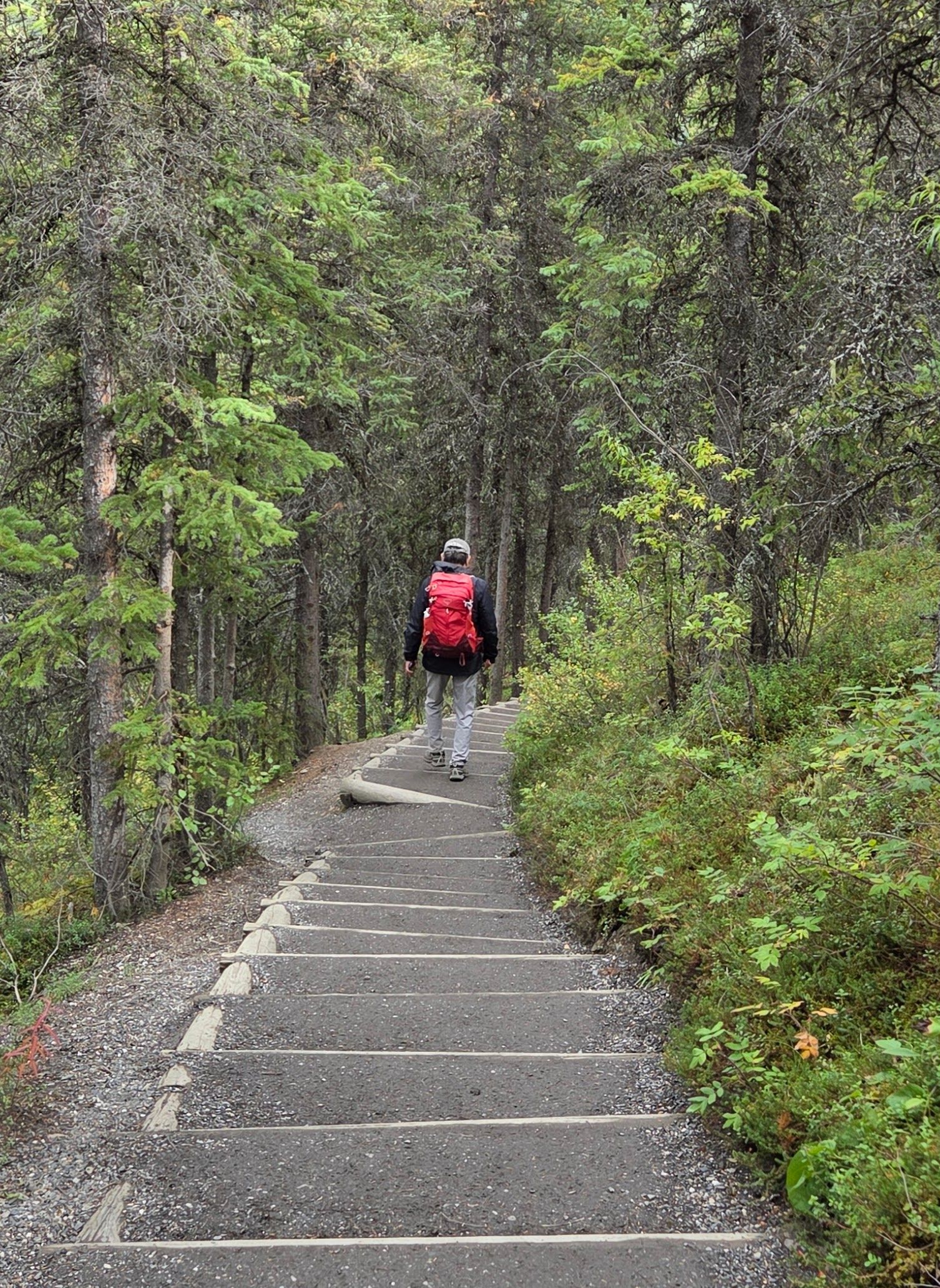
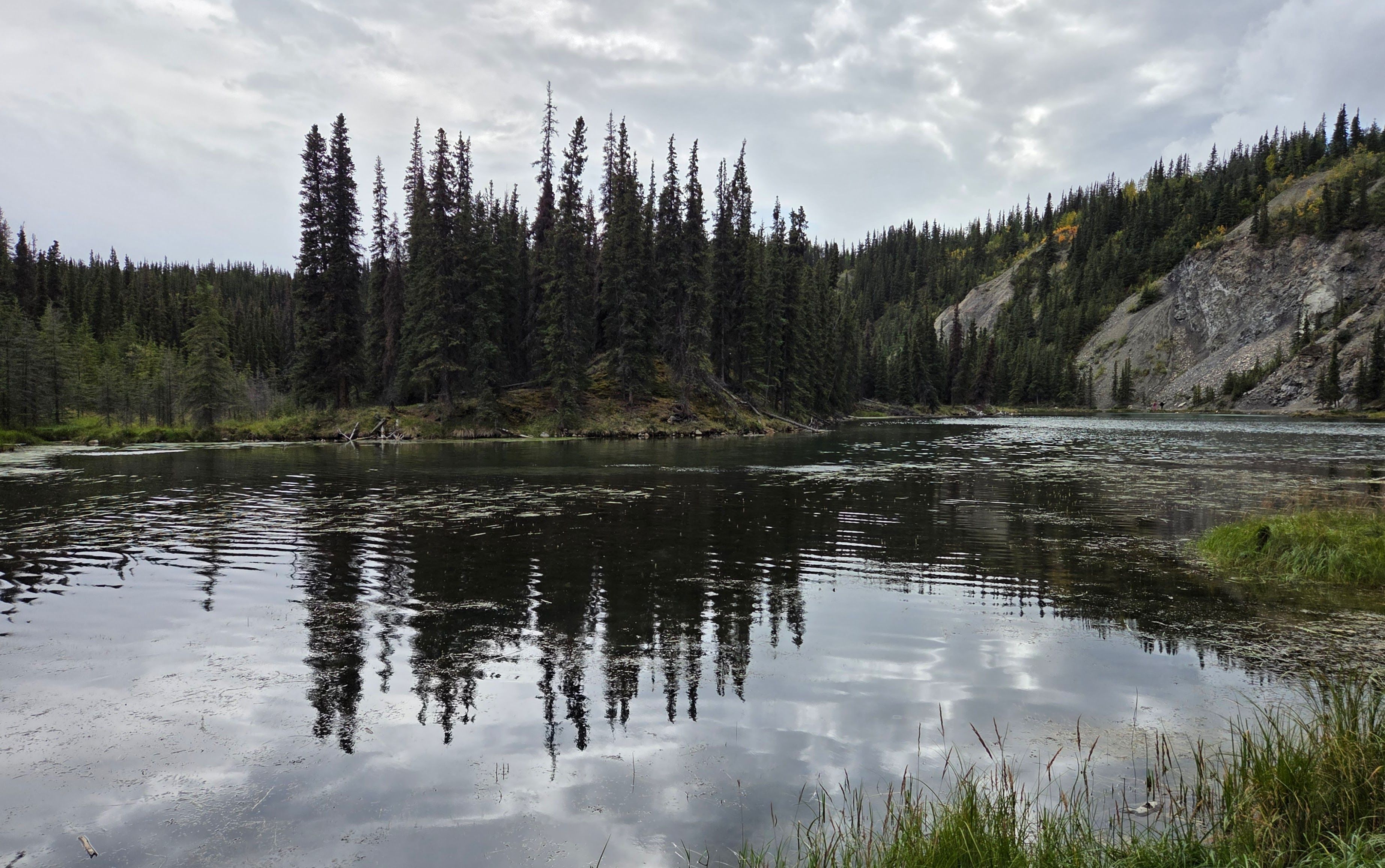
The ranger suggested that we hike to Horseshoe Lake. Fifteen minutes into the hike, Rei and I realized that we have hiked this trail during a previous winter visit. At that time, the trail was icy and very slippery. Some hikers gave up half-way. The trail was completely clear today, and the hike wasn’t hard at all.
We had yesterday’s leftover pizza for dinner.
Day 6: Talkeetna, Potter Marsh
We were exhausted from yesterday’s excursion, so we woke up late this morning. The lodge did not provide breakfast, so we ate blueberry muffins and croissants we bought the other day. It was already almost 9am when we checked out.
After driving a while on Highway 3 South, we saw a magnificent, unobstructed Denali Mountain view from the road. It was even better than what we saw yesterday!
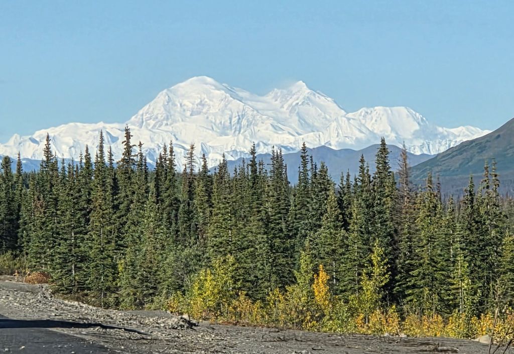
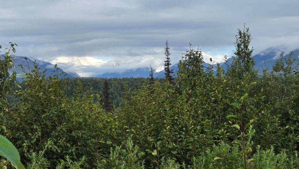
Several drivers parked their cars on the roadside to take photos. I took several photos from inside the car. Rei told me that we could wait until we reached a viewpoint to take photos. Fortunately, I didn’t listen to him. Because this was what we saw when we arrived at the next viewpoint about half an hour later:
We still need to drive a couple more hours before reaching Anchorage, so we decided to take a short detour to Talkeetna for our lunch break. Talkeetna was full of cars and tourists. We finally find a place near the river park to park our car.
The park had flushed toilets and several picnic tables. We found an unoccupied table to have our picnic lunch.
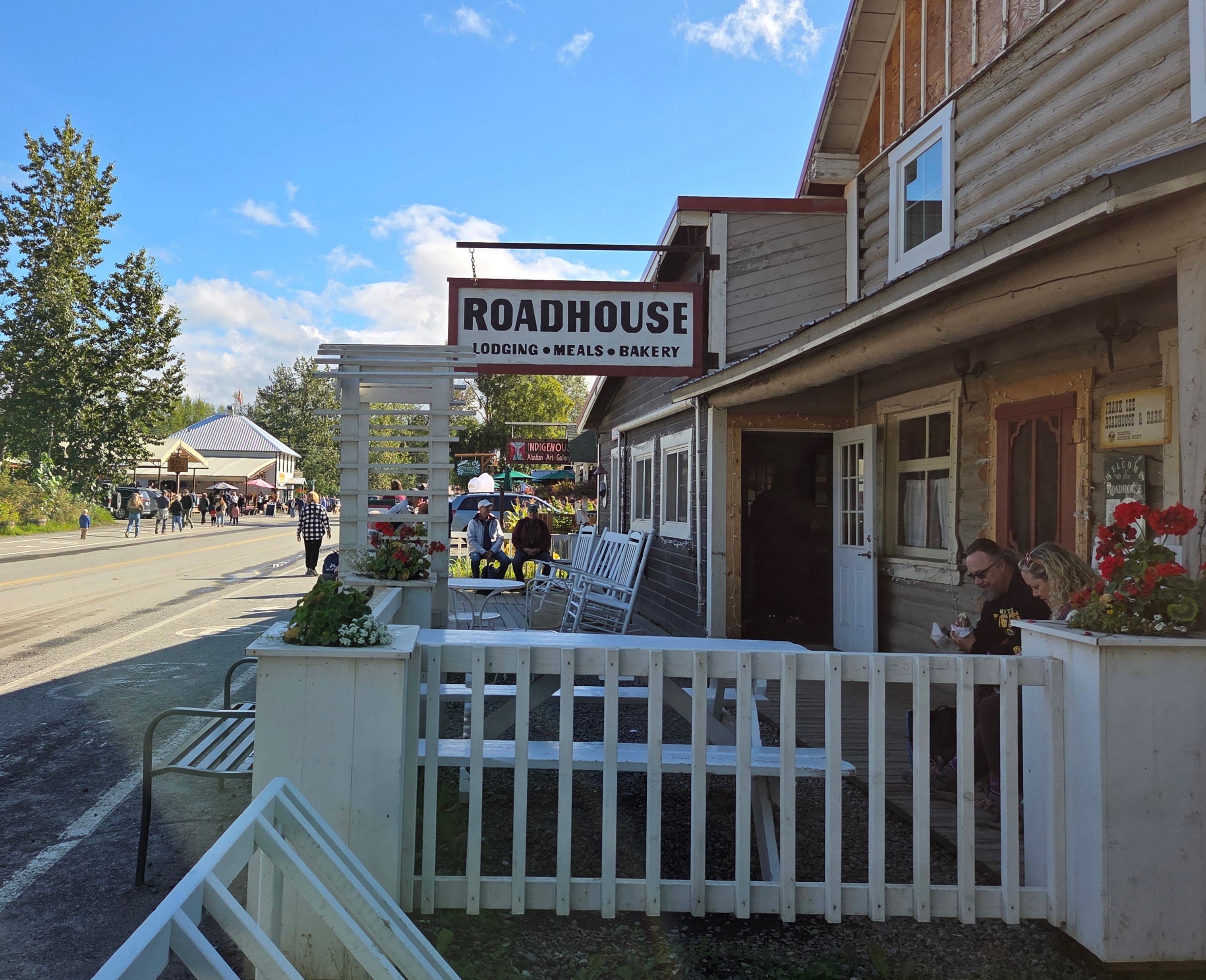
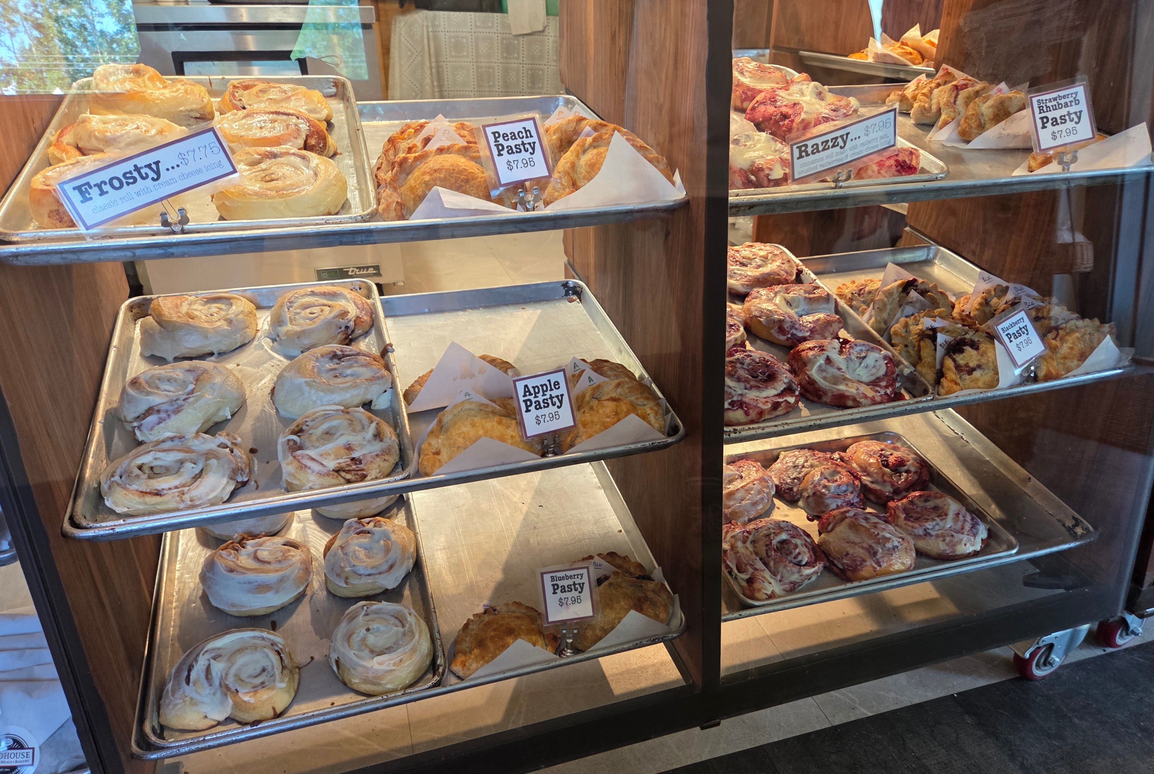
I read from the web that Talkeetna Roadhouse had a famous bakery. It was very close to the river park, so I walked there to buy a blackberry pasty. Later, I told Rei that the people in front of me and behind me were all purchasing “Razzy” — an icing pastry filled with jam. Rei said we should get one too.
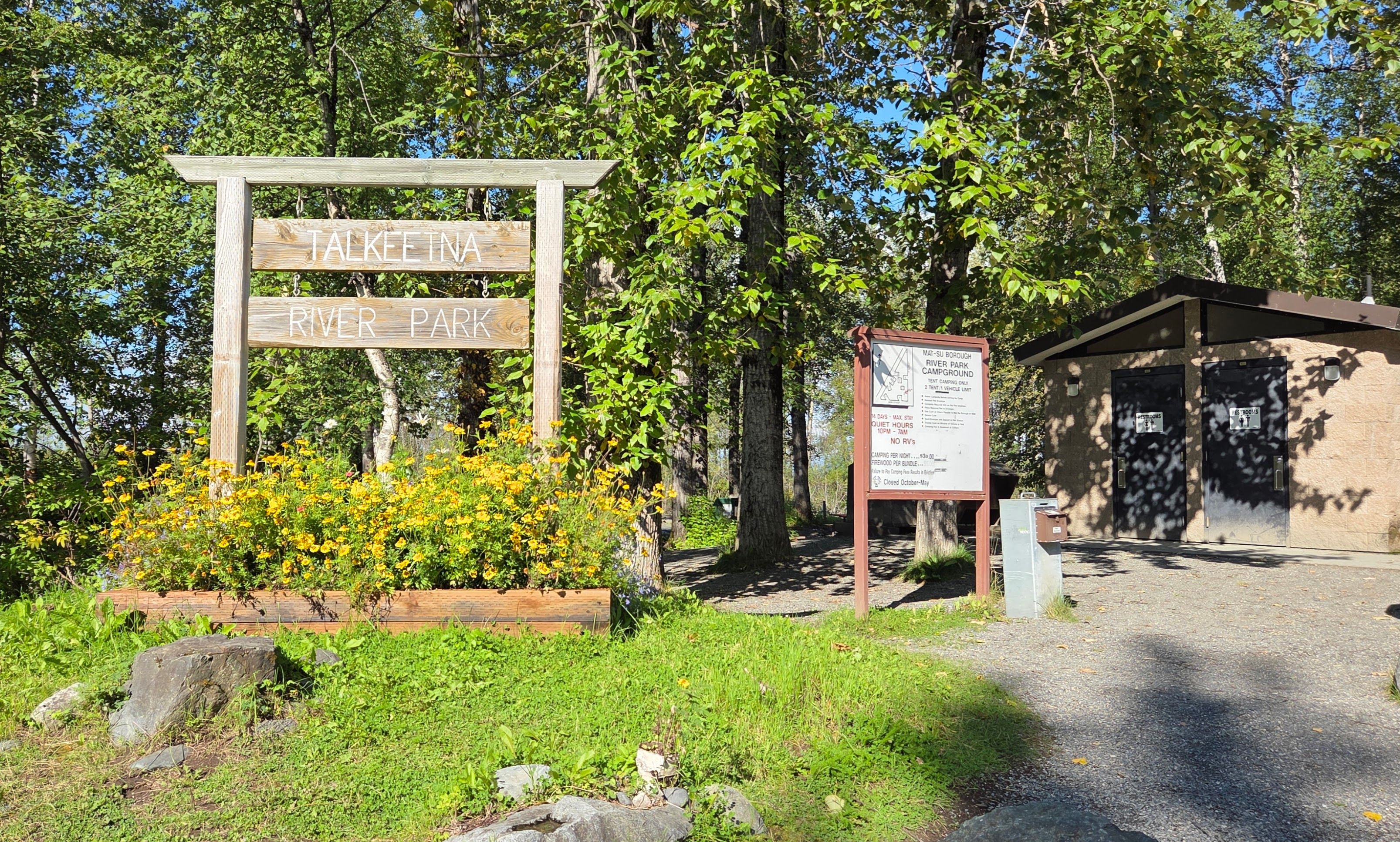
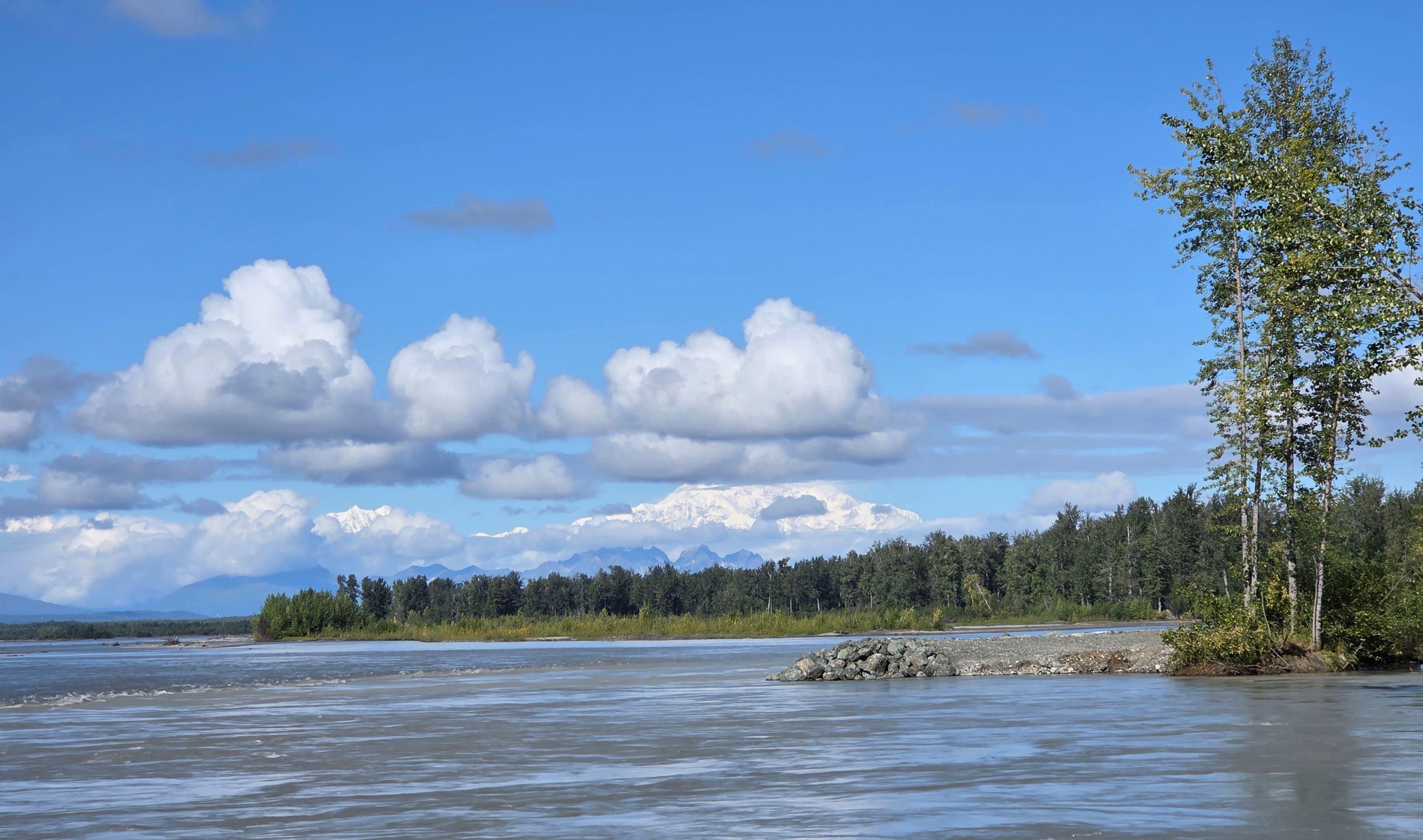
The river park also had a Denali viewing point. Many people were taking pictures there. The mountain was still partially covered by clouds.
Talkeetna has another Denali National Park ranger station. We went there to get another stamp and a walking map.
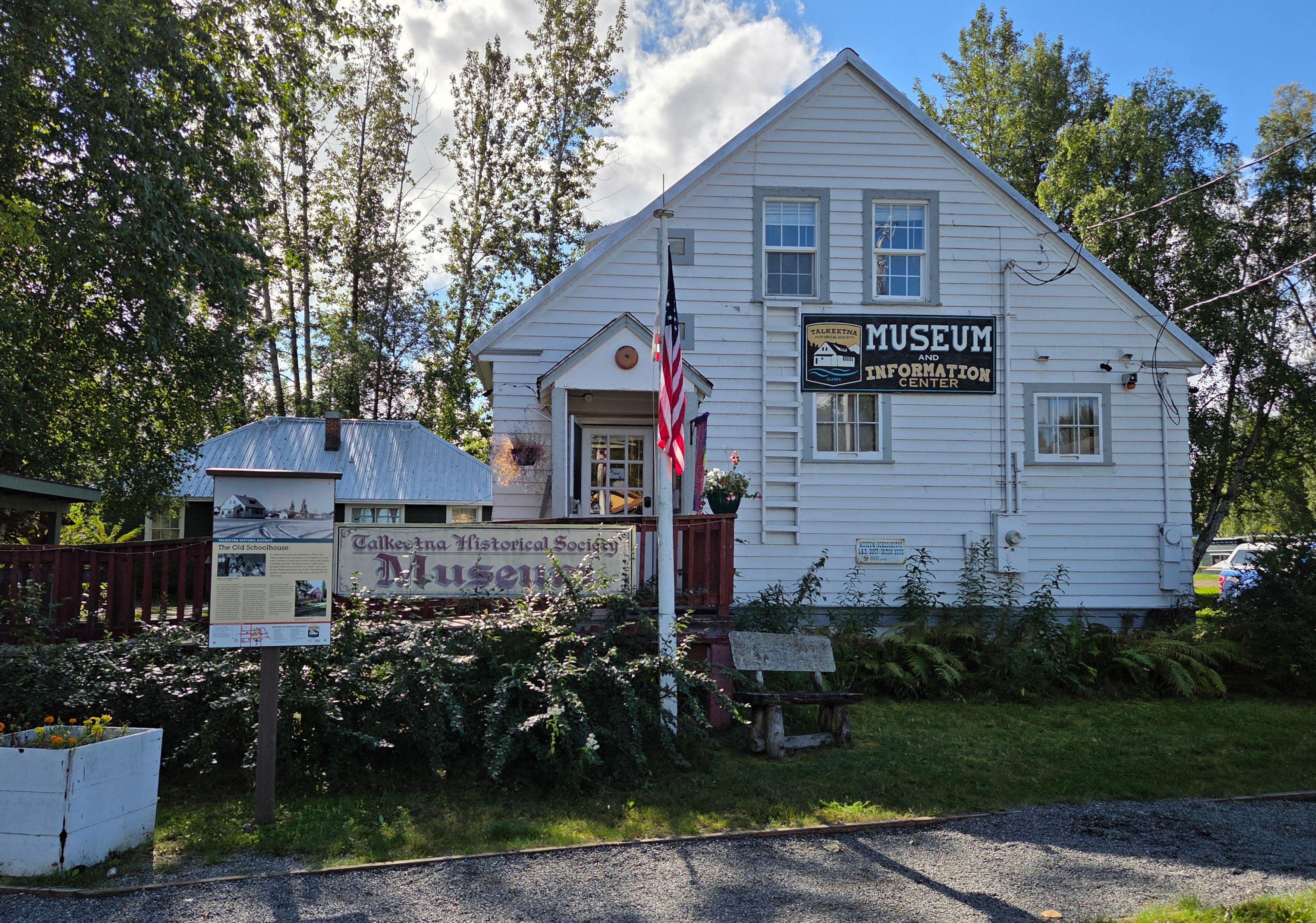
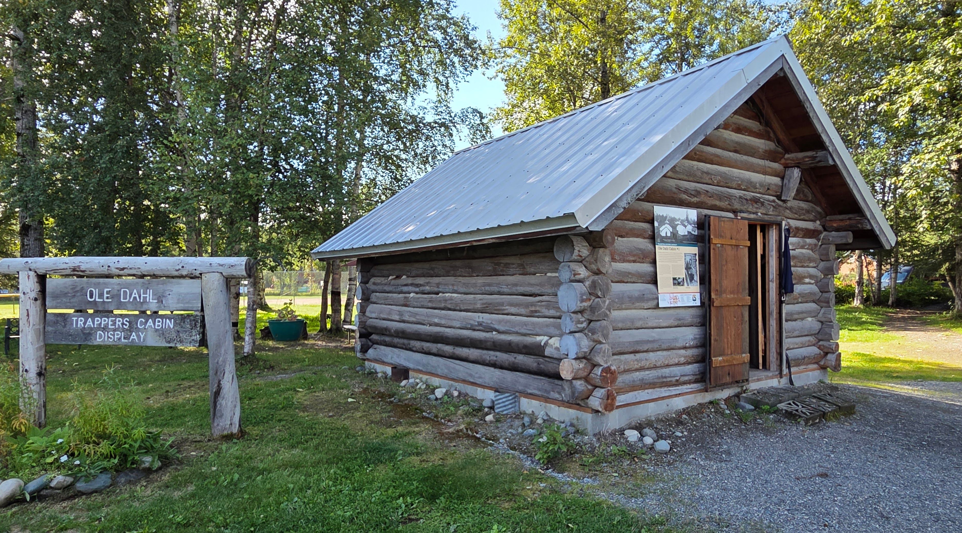
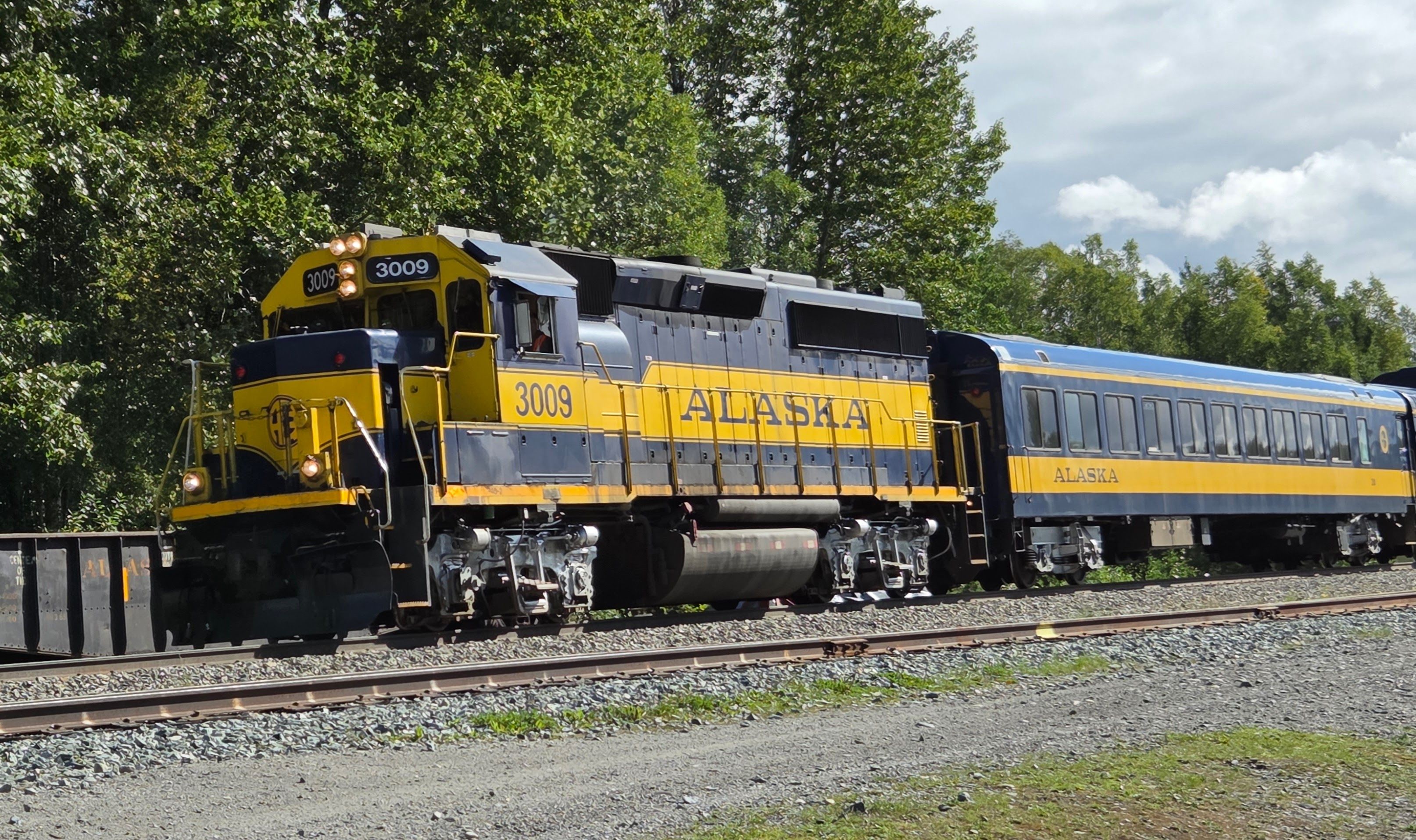
Talkeetna has a historic downtown. The museum was the old schoolhouse. There were several other historic buildings such as a trappers cabin. We also saw an Alaska Railroad train about to departure. The town was full of souvenir shops, tour providers, restaurants and cafes. Rei went in the Roadhouse to get coffee and a Razzy. We shared the pastry. It’s very tasty!
We ended up spending about 2 hours in Talkeetna before resuming the drive to Anchorage. I wanted to do some birding, so we drove to Potter Marsh after checking into tonight’s hotel.
When we arrived at Potter Marsh, we saw a small viewing point with zero birds! It was very disappointing. We drove around a bit before realizing that we should have set the GPS to “Potter Marsh Bird Sanctuary” rather than just “Potter Marsh”!
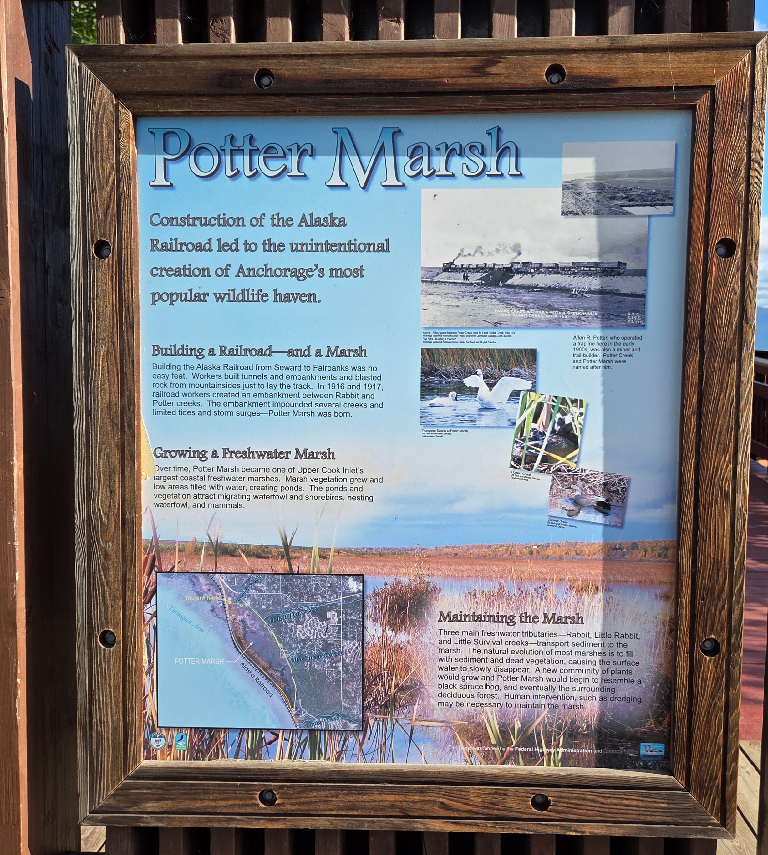
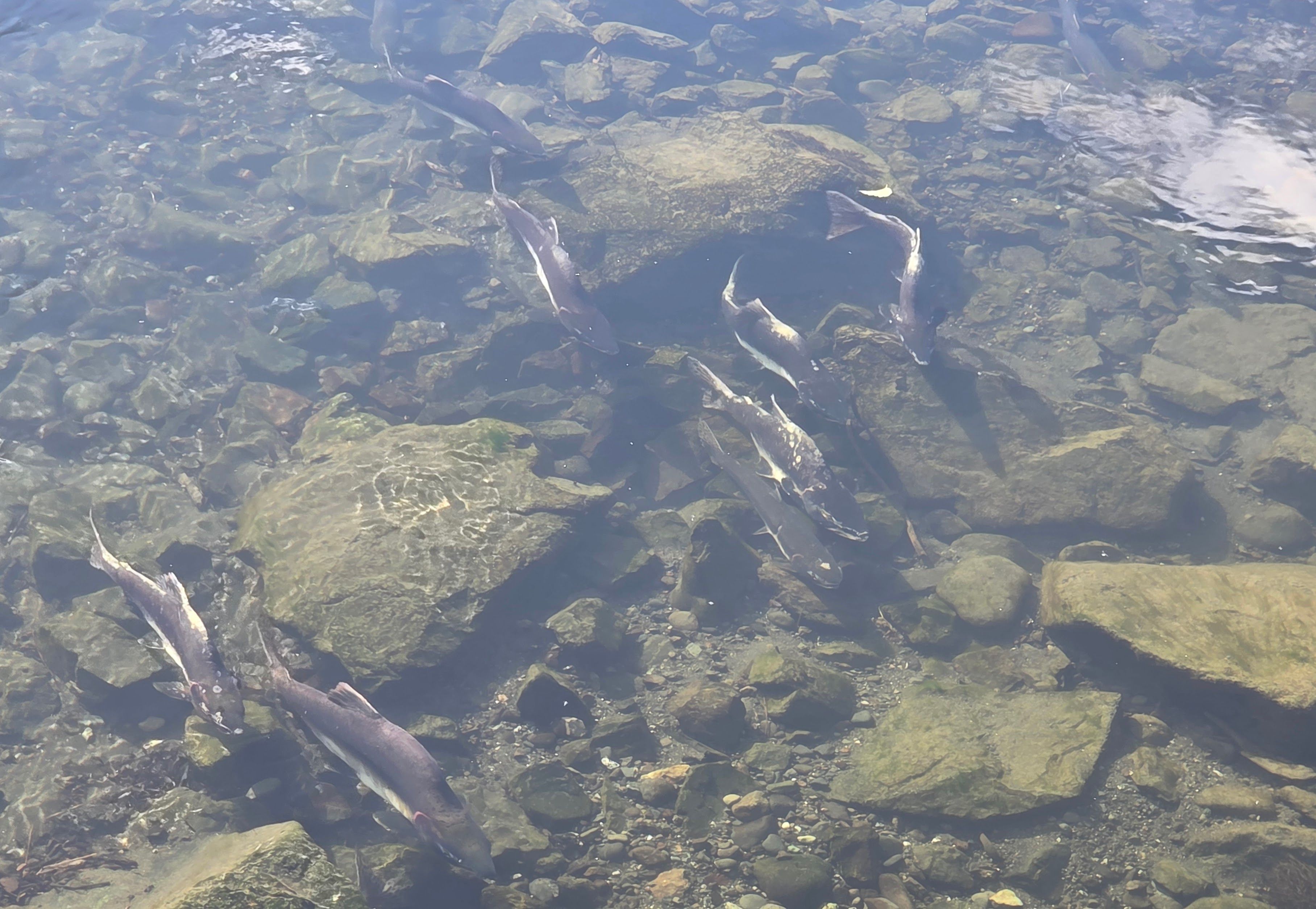
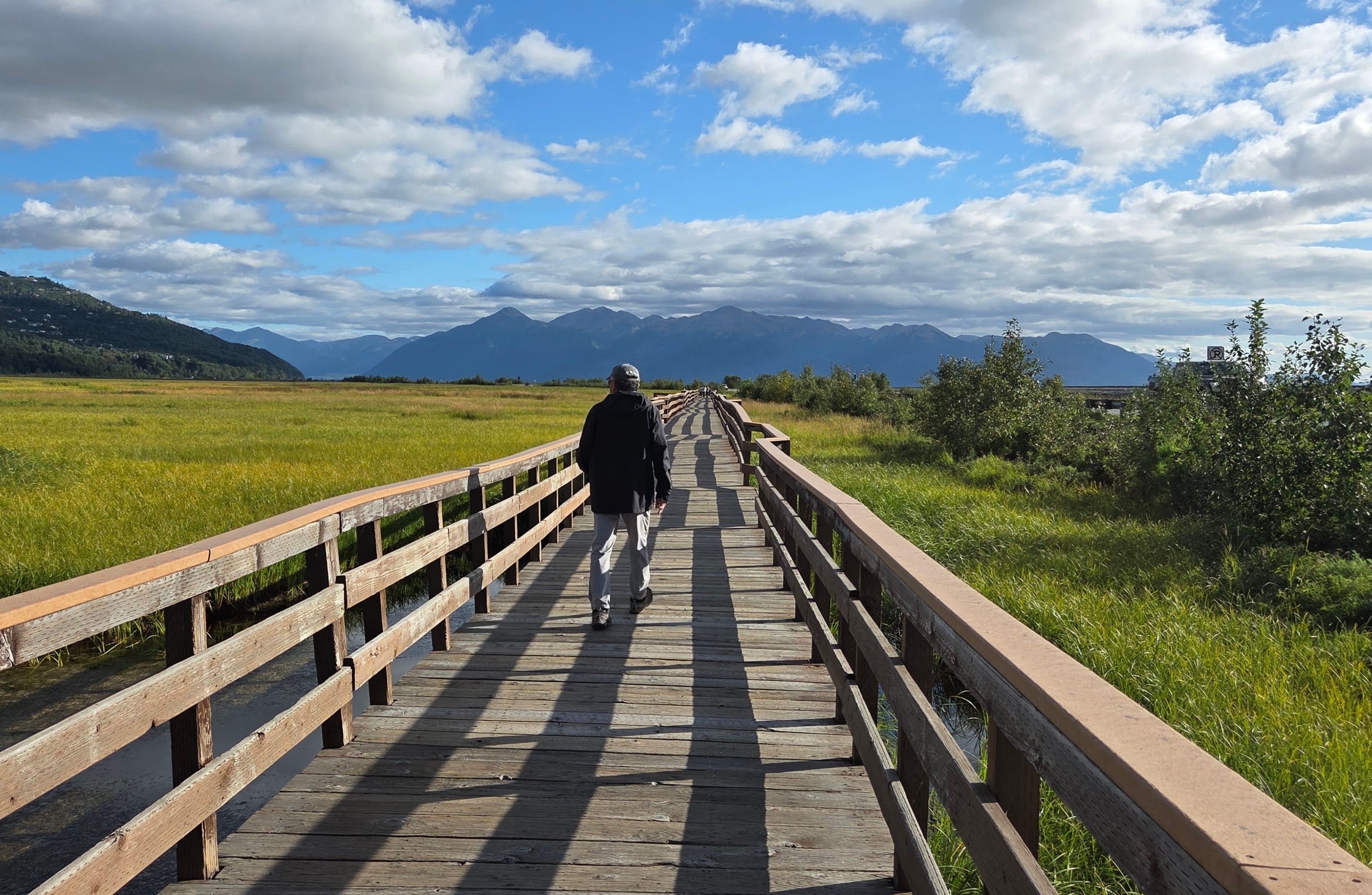
Potter Marsh Bird Sanctuary had a larger parking lot, and there were longer boardwalks. We were surprised to find many salmon swimming in the water!
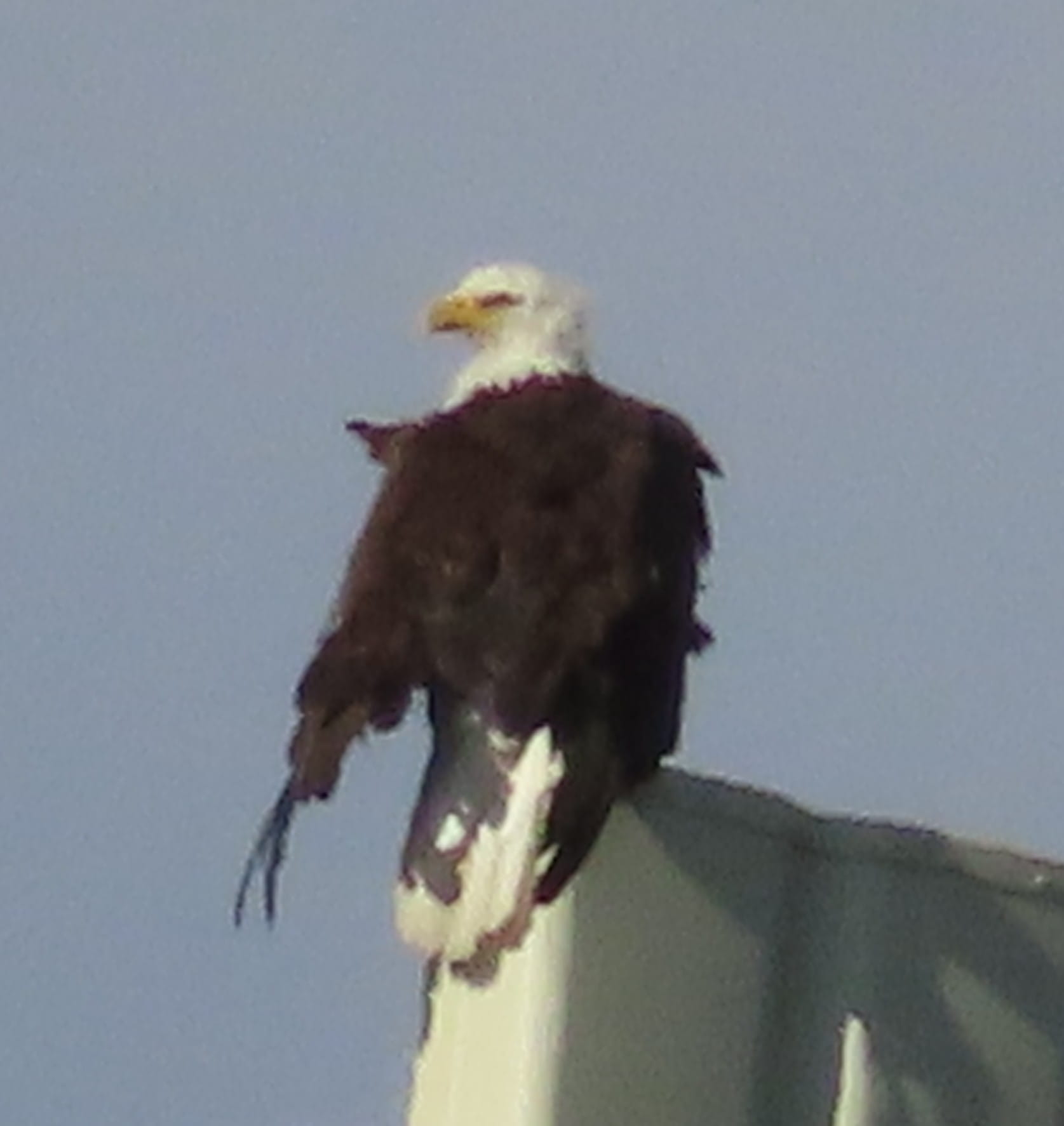
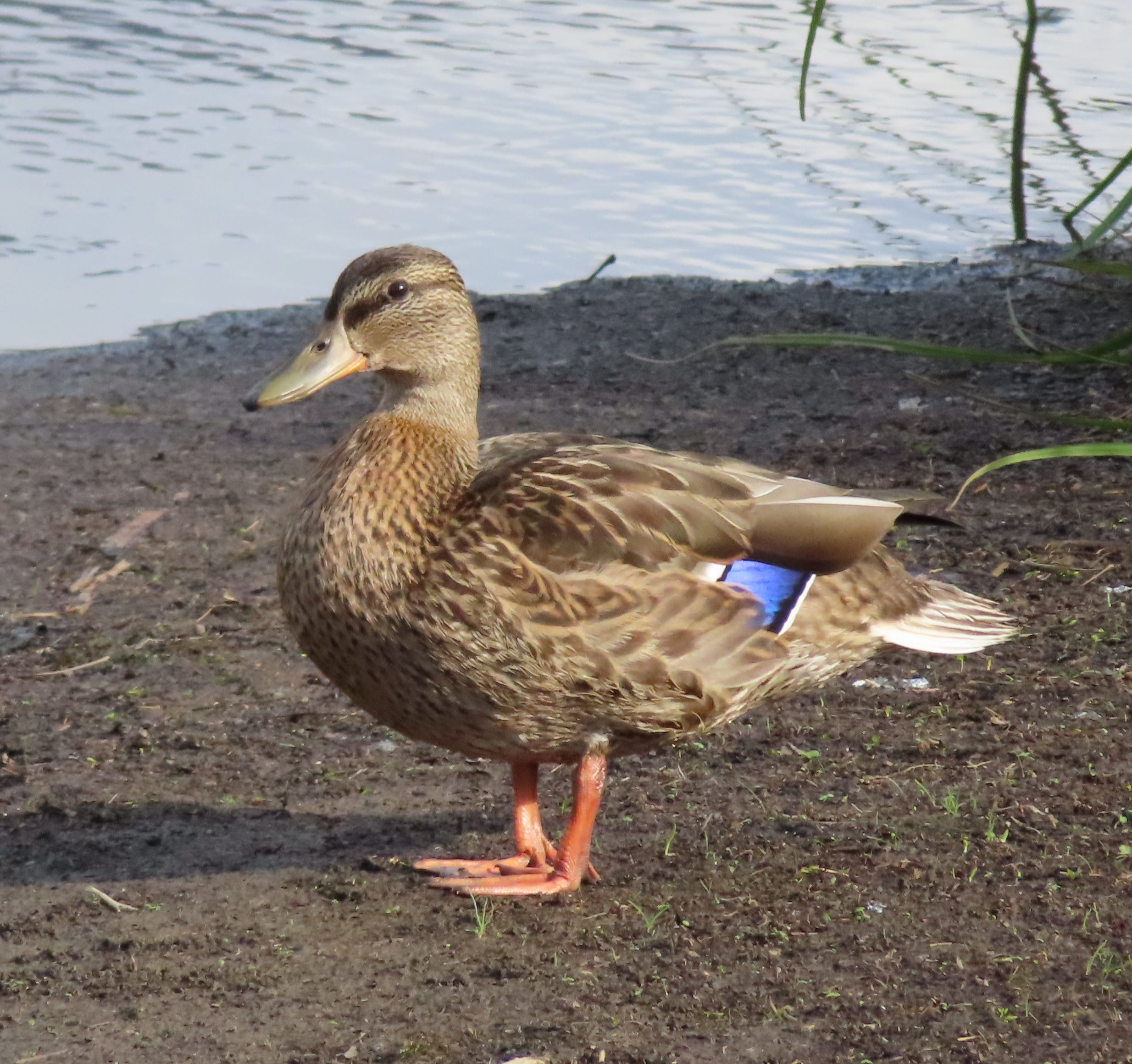
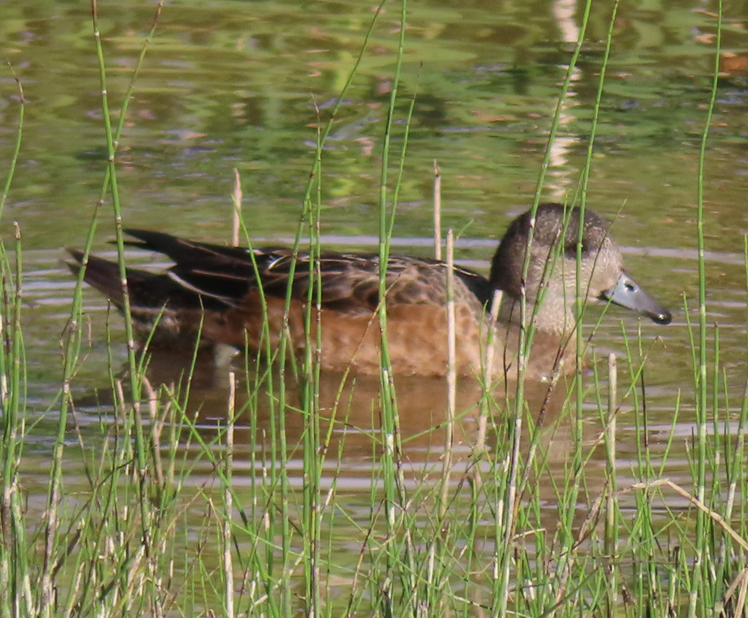
Regarding birds, we only saw some Mallards and American Wigeons. It’s underwhelming. But when we reached the end of a boardwalk, we saw a group of “professional” bird watchers with large cameras and binoculars. There was a Bald Eagle perching high on a metal structure. I pointed out the eagle to Rei, and we both took many photos. That’s the only highlight of the birdwatching. (Check my Bird List.)
We would fly home tomorrow, and we still had lots of food remaining. So, we just staying in the hotel room to eat as much food as we could.
Day 7: Flying Home
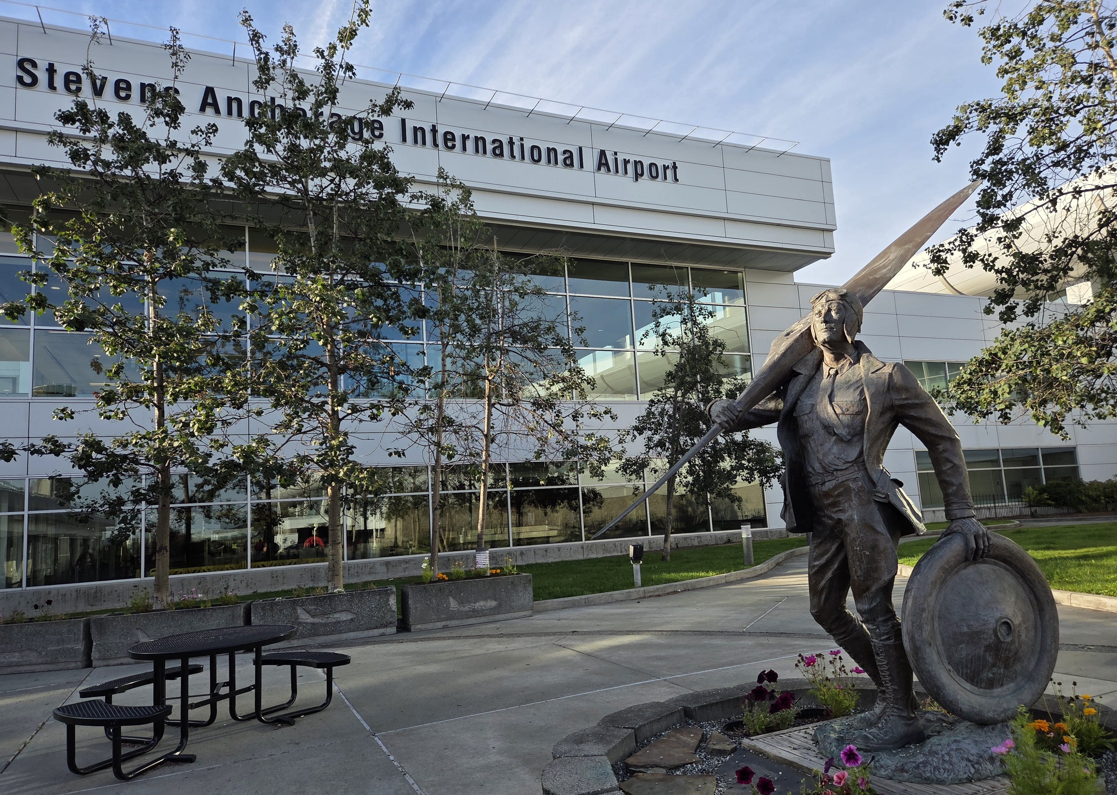
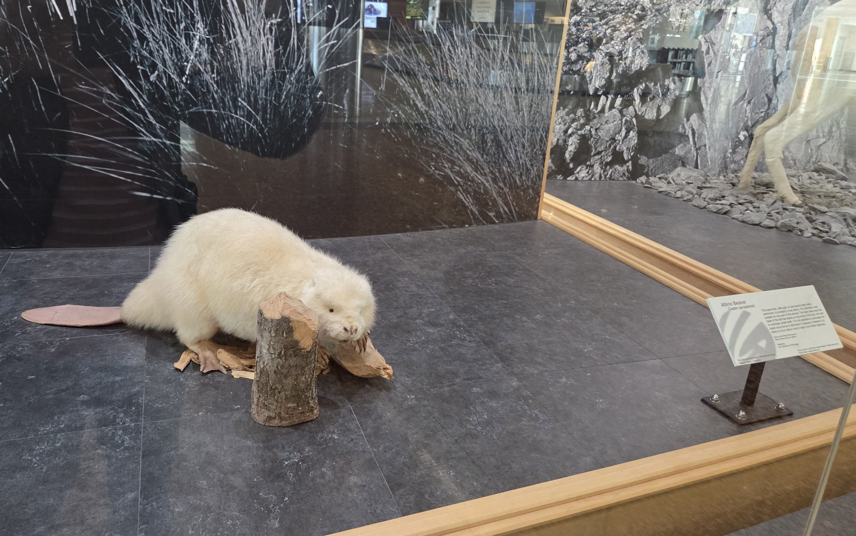
We flew home this morning from the Anchorage International Airport. The airport had an impressive display of taxidermy showcasing Alaskan animals such as brown bears, black bears, polar bears, wolves, musk oxen, etc. The most interesting one was an albino beaver!
Practical Information
If you plan to do a road trip in Alaska, remember to stop by a supermarket or Costco to stock up food and water. Food may not be readily available everywhere you go.
There were also a lot of road constructions during summertime. The driving will take longer than you expected, so plan for extra time.
There were many rest areas on the way. However, most only had pit toilets and there might not be hand sanitizers, so remember to bring your own.
Kenai Fjords National Park
We only spent a day there to hike the Harding Icefield Trail. This is a strenuous hike. If you are a casual hiker, you can just hike to Marmot Meadows (for Exit Glacier view) or Top of the Cliffs (for both glacier and icefield views). Bring food and lots of water.
We regretted that we didn’t spend more days in Kenai Fjords NP. It would have been wonderful to go on a fjord cruise.
Wrangell-St. Elias National Park
We spent an entire day in the park to drive to Kennecott. It’s in a remote area. We could have spent more time there, staying in either McCarthy or Kennecott to do some glacier hikes.
Denali National Park
This was our 3rd visit to Denali National Park. Therefore, one day was sufficient. The Tundra Wilderness Tour was costly (close to $300 for both of us), but we did see and learn a lot. The driver/guide had to pay attention to the road and traffic. So, we relied on fellow bus passengers for wildlife spotting. We were very lucky to be with a group of amazing visitors.
There were also green shuttle buses to go to the interior of the national park. Green shuttle buses were a lot cheaper, but it provided only the transportation (i.e., no guides). The green shuttle buses between Denali Bus Depot and Savage River (i.e., the first 15 miles) were free.

